
Place · 1.3 mi away
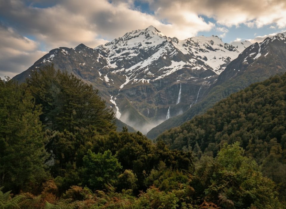
A graceful ribbon of water dropping from a hanging side valley, Bridal Veil Falls is a scenic highlight on the lower Routeburn Track. You’ll reach it on the Routeburn Shelter → Routeburn Flats section, passing Sugarloaf Stream before a short climb brings the waterfall into view and the track continues above a gorge toward the swing bridge and the Flats.
Start from Routeburn Shelter, about 25 km beyond Glenorchy. For most visitors, this is an out‑and‑back. Plan roughly 1.5–3 hours to visit the waterfall and return, or 3–5 hours if you continue to the swing bridge or Routeburn Flats Hut. The full one‑way to Routeburn Flats is 7.5 km; the road distance between the two ends of the Great Walk is 325 km, so stick to the Shelter side if your goal is the falls.
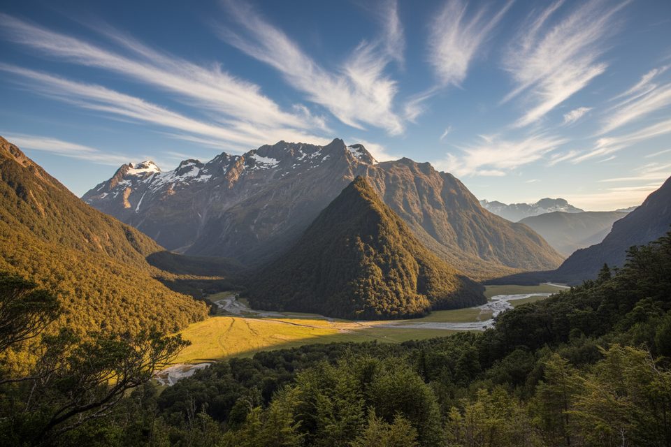
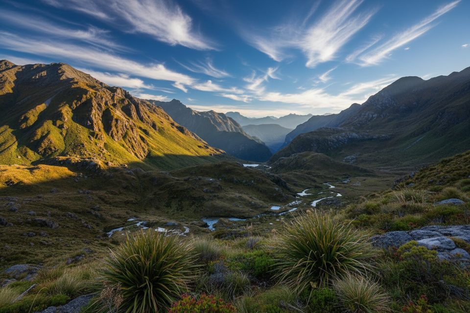
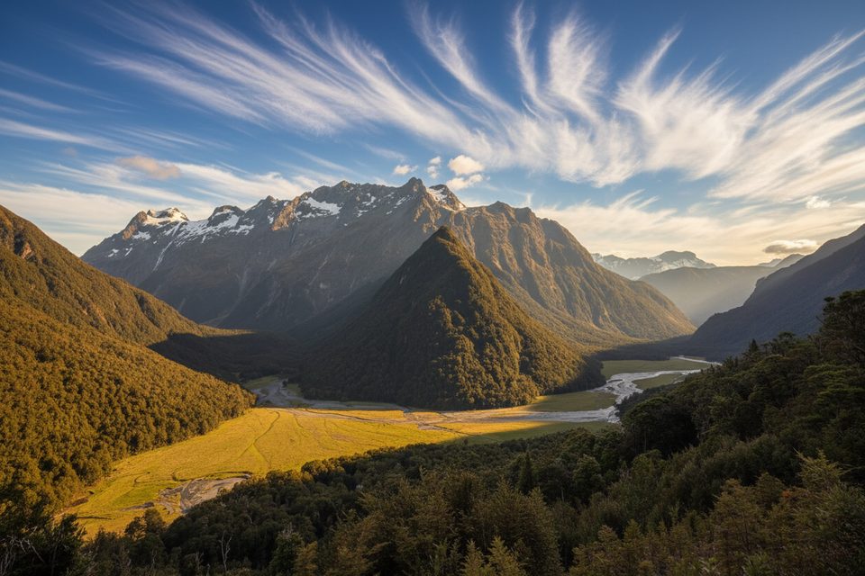
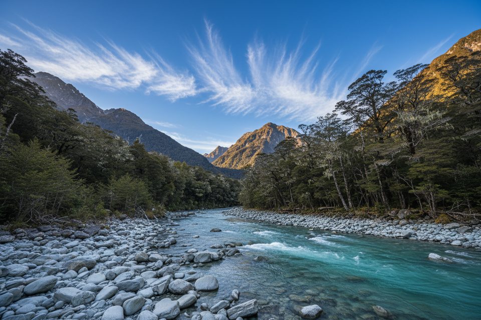
The approach winds through lush beech forest alongside the clear Route Burn, with occasional views into a tightening gorge. The falls themselves spill high from cliffs above the valley; continue a little farther for changing angles, or push on to the open Routeburn Flats for big valley vistas. The landscape here is classic U‑shaped glacial country with schist outcrops and braided river flats.
Closest services are along the track, not at the falls: Routeburn Flats Hut (and farther up, Routeburn Falls Hut) provide toilets, bunks with mattresses, heating, basic cooking facilities, solar lighting, and cold running water—but no food, utensils, showers, or bedding. Campsites have toilets, sinks, and water; Routeburn campsites also have picnic tables and cooking shelters. There’s a day‑use shelter with a toilet at Harris Saddle. Expect no cellphone coverage.
The Great Walks season runs November 1–April 30, when facilities are fully serviced and conditions are most reliable. Day walkers don’t need bookings. Start early for easier parking and a quieter track. Outside May–October, facilities are reduced and winter/alpine conditions can exist even on the approach; some bridges may be removed.
Rain is common and conditions change quickly; avoid walking in the dark and carry your own food and water (there’s none for sale on the track). Avalanche risk can linger into early summer on higher sections; while the falls are in the lower valley, always check the forecast before you go. Follow “Check, Clean, Dry” practices to prevent the spread of didymo.
This lower valley is good bird country—listen for bellbirds and fantails in the forest, with chances for robins or riflemen, and kea higher up. Please don’t feed wildlife.
Place · 1.3 mi away
Place · 1.9 mi away
Place · 2.4 mi away
Place · 2.4 mi away
Challenging · 1.9 mi away
Easy · 1.9 mi away
Moderate · 1.9 mi away
Easy · 1.9 mi away

Parkwolf Tour Guide
