
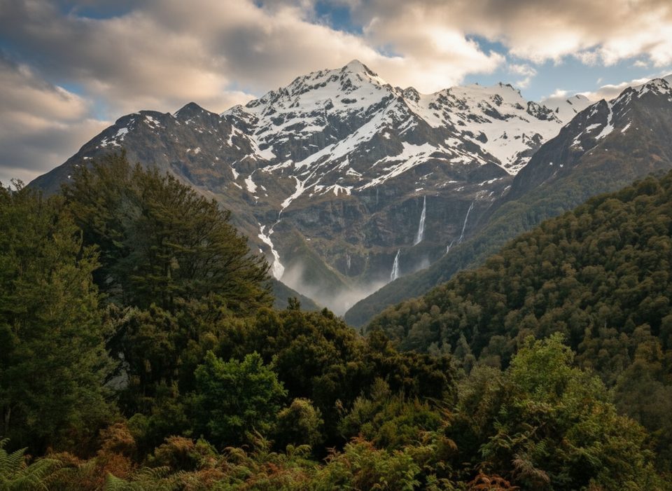
Place · 1.3 mi away
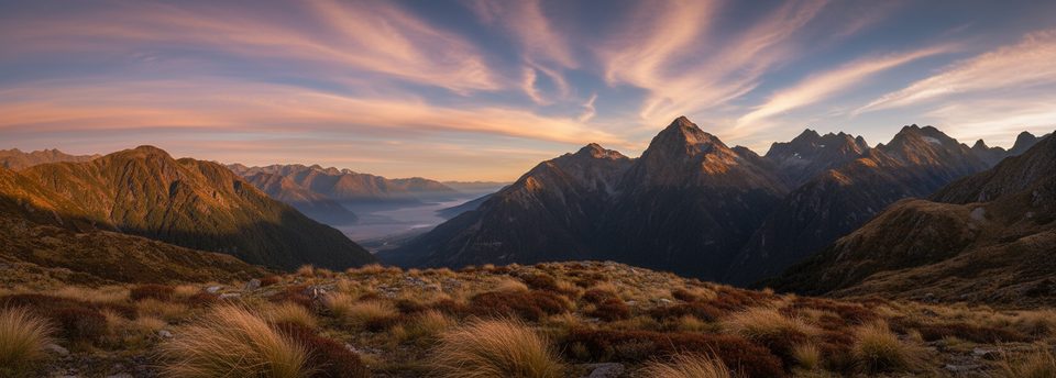
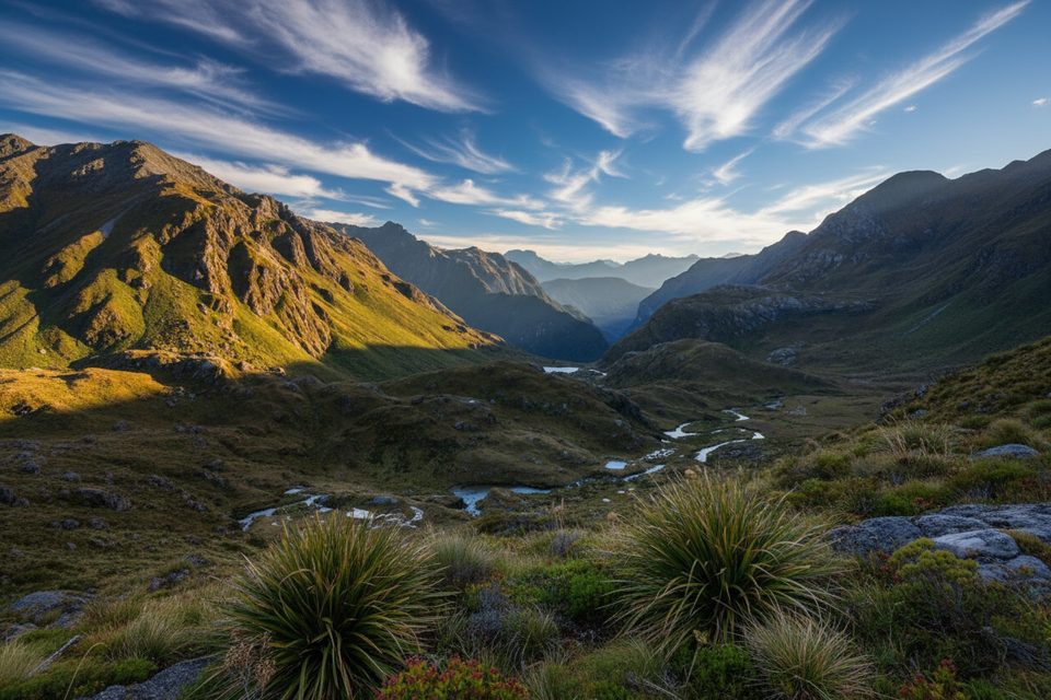
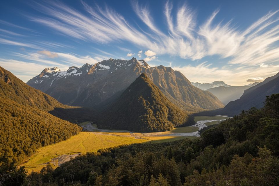
Sugarloaf Pass is the underrated high point linking the Routeburn and Rock Burn valleys. Most people march past its signed turnoff on the Routeburn Great Walk, which keeps this route pleasantly quiet. Expect a solid climb (about 700 m gain) and a 5–7 hour return from Routeburn Shelter. The saddle itself is a flat, exposed bench with views both ways—nice, but the real payoff is what you do next.
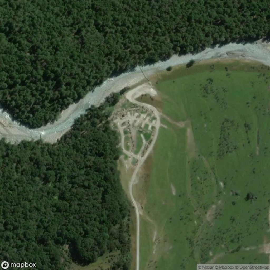
From Routeburn Shelter you’ll cruise the Great Walk for ~10 minutes, then peel right at the Sugarloaf/Rockburn sign. The character changes fast: narrower tread, roots, occasional windfall, and a splashy crossing of Sugar Loaf Stream. Beyond, the track steepens through beech forest before breaking onto open tussock. In summer it can be boggy; in winter, expect ice. The pass can be frozen solid or sodden depending on season.
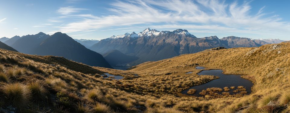
The saddle is only the halfway act. For the wow factor, continue beyond the pass and climb the tussocky slope east for sweeping views (including toward Mount Earnslaw) and a cluster of photogenic tarns that often freeze in winter. Strong parties also tag the knoll known as Point 1428. The Sugar Loaf itself is climbers’ terrain—most hikers skip it.
This is true backcountry tramping. Above the bushline, wayfinding can be tricky and you should stick to the marked route across the fragile saddle. Track markers can be hard to follow near Sugar Loaf Stream. Weather turns fast; treat it like an advanced alpine day and start early. Seasonal hazards include summer bog and winter ice, plus avalanche risk in this region (commonly May–November, but possible outside that window). Unbridged stream crossings in the Rock Burn become serious after heavy rain.
Pick a clear, settled day for the views and safer travel. Shoulder and summer seasons offer longer daylight; winter can deliver frozen tarns and firm travel but brings ice and avalanche considerations. Start early to beat afternoon cloud build-up and give yourself time for the bonus climb above the pass.
Place · 1.3 mi away
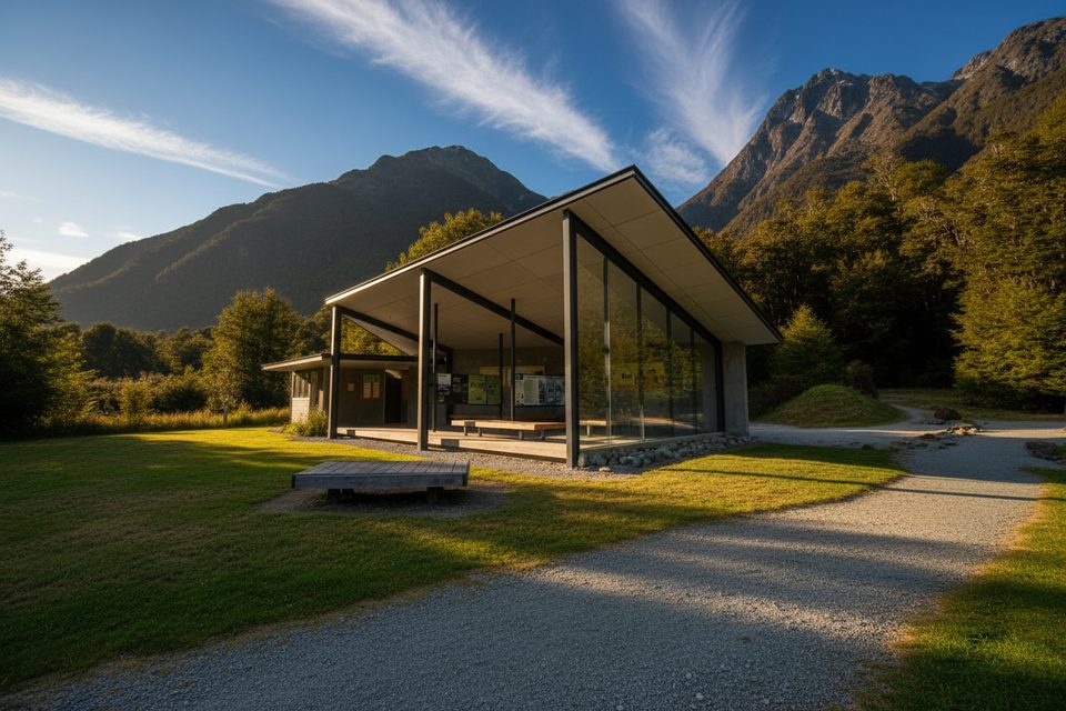
Place · 2 mi away
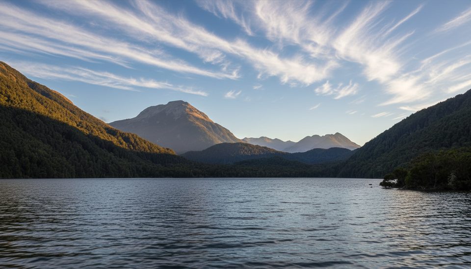
Place · 2.6 mi away
Place · 3.2 mi away
Challenging · 2 mi away
Easy · 2 mi away
Moderate · 2 mi away
Easy · 2 mi away

Parkwolf Tour Guide
