
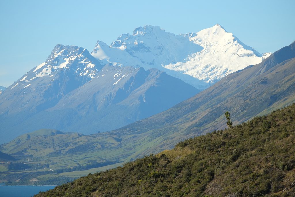
Place · 1.5 mi away
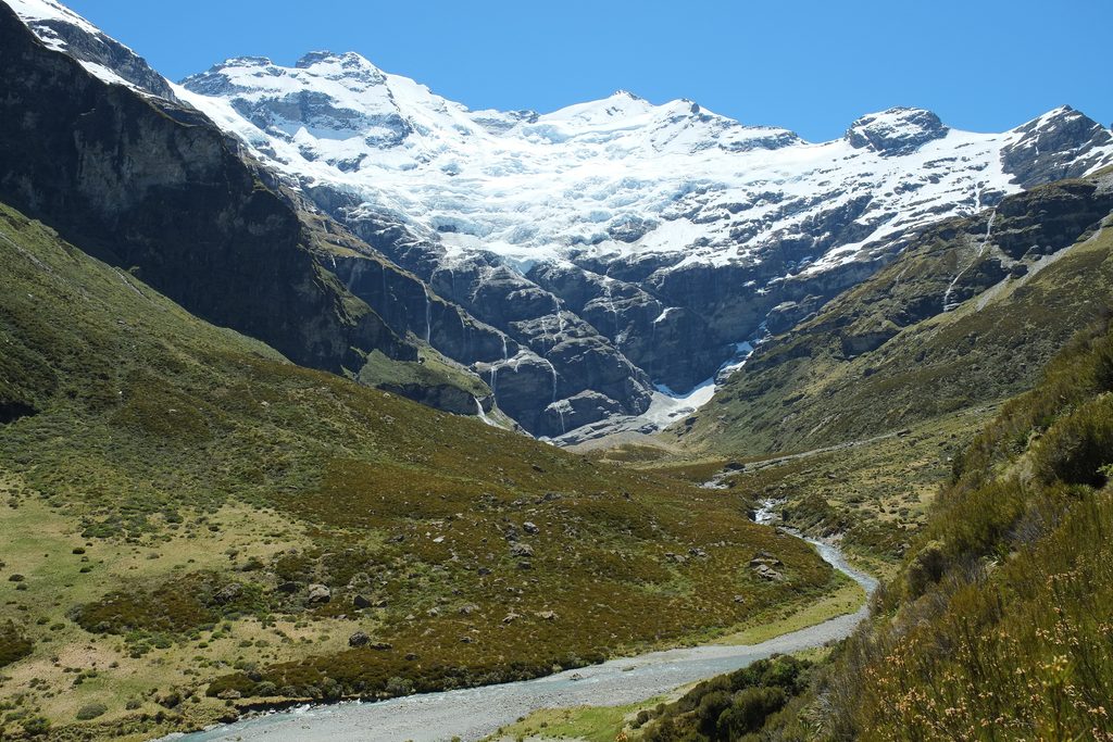
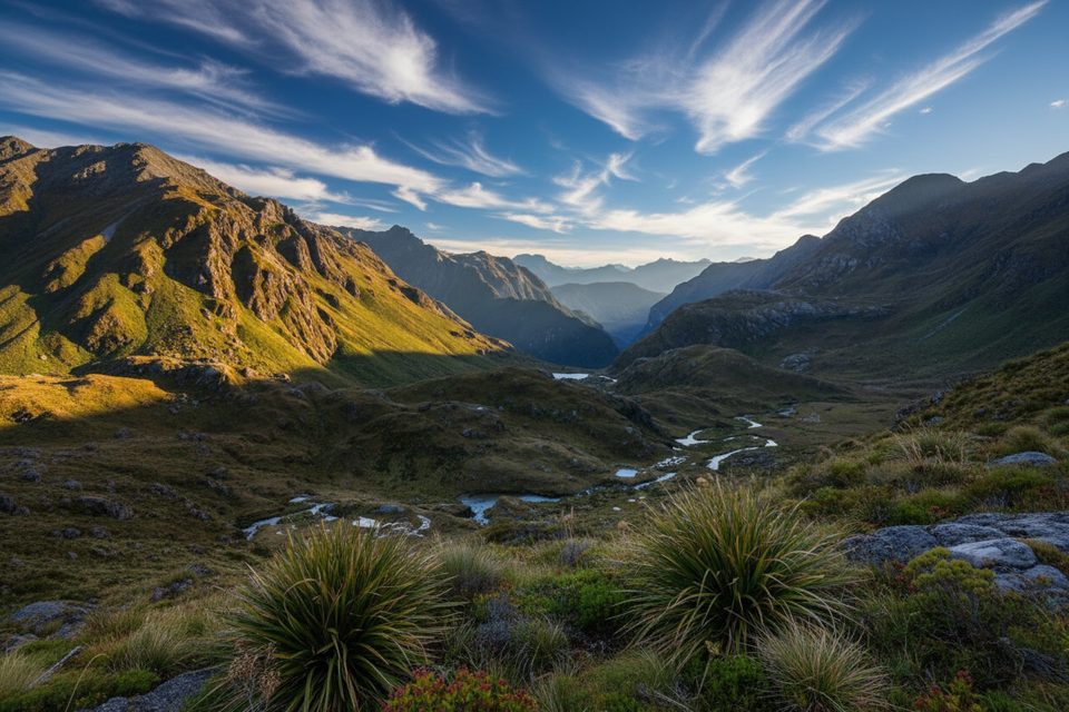
Earnslaw Burn is a big, rewarding tramp that climbs through beech forest to a wide alpine valley capped by a hanging glacier and a fan of waterfalls off Mt Earnslaw/Pikirakatahi. It’s gorgeous and feels wild—but it makes you earn every view.
Views start to open at treeline and just keep building. The head of the valley is a classic glacial amphitheater with a hanging icefall and multiple waterfalls—one of the South Island’s great payoffs after a long approach. Expect some helicopter activity at the head of the valley (landings are permitted there), which can break the silence.
Past the treeline the open valley is private station land with only a narrow public access easement beside the river—camping on this station land is not permitted, and new signs went up in early 2025 to make that crystal clear. If you want to overnight legally, do it before the treeline on public conservation land. A large rock bivvy on the true right, just before you leave the trees, is the well‑known option (reaching it requires a river crossing). There’s also a basic, free four‑bunk Earnslaw Hut elsewhere in the area, but it’s not on this track.
This is moderate–hard tramping with real consequences in bad weather. Expect river and stream crossings; don’t attempt them in flood. The valley can see severe weather year‑round, and there’s avalanche risk in winter, spring, and often into early summer. Navigation is straightforward in bush with markers but more open above treeline—carry a topo map/GPS. There’s essentially no reception; take a PLB or inReach.
There are no toilets at the trailhead, on the track, or in the valley. Pack out all waste (at minimum, follow proper cathole practices far from water). Water is plentiful, but favor clean side streams over the main river and treat if in doubt.
Summer offers the friendliest conditions and the best waterfall flow, plus long daylight for the big day. Autumn turns cold quickly and flows can diminish or freeze. Winter or any stormy spell is only for experienced parties with the right kit. If you’re day‑hiking, start at first light; Saturdays see the most mid‑morning traffic.
Fit trampers who don’t mind mud, roots, and a heavy pack for a world‑class glacial valley payoff. It’s not ideal for young kids or anyone seeking a short, manicured walk.
Place · 1.5 mi away
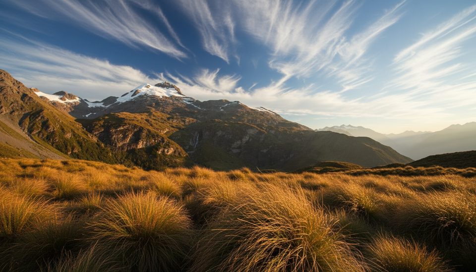
Place · 2.7 mi away
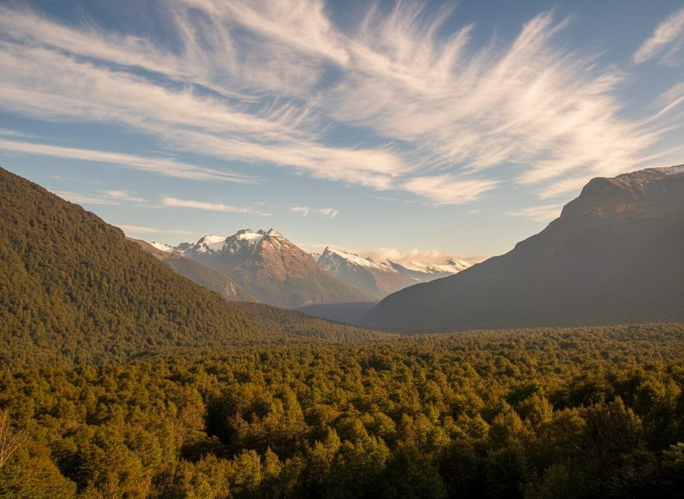
Place · 4.6 mi away
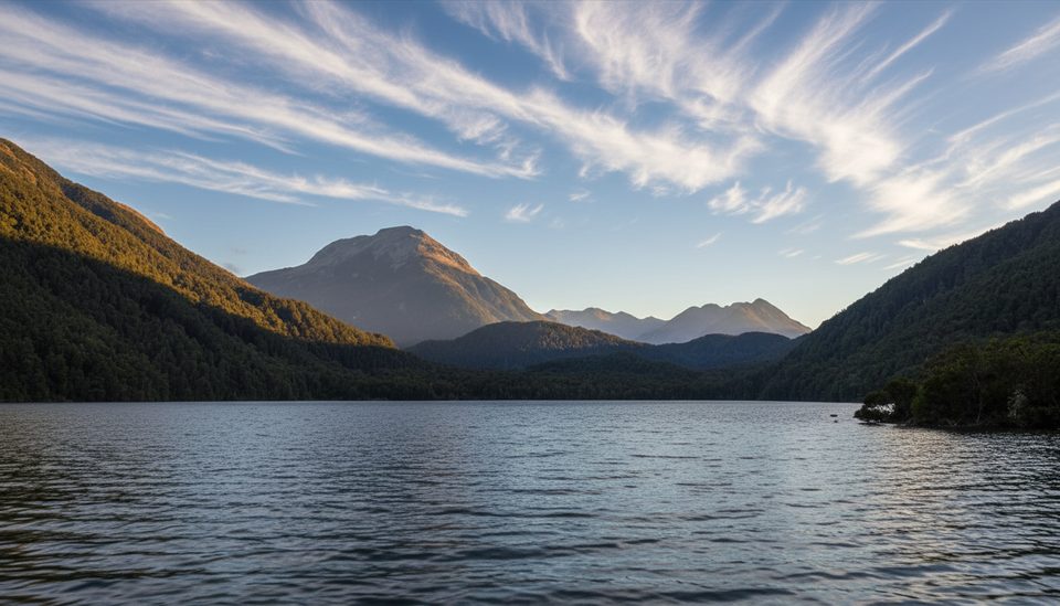
Place · 6 mi away
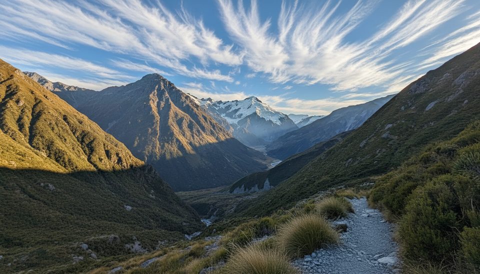
Challenging · 4.7 mi away
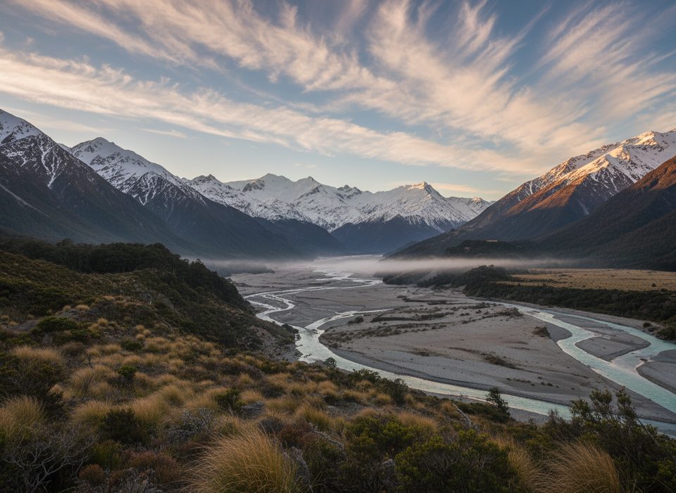
Challenging · 4.7 mi away
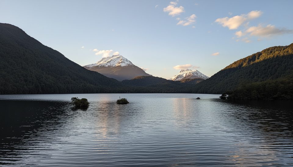
Easy · 7.3 mi away
Challenging · 8.2 mi away

Parkwolf Tour Guide
