Parking
Start at the Routeburn Shelter carpark, at the end of Glenorchy-Routeburn Road. The road end is about 35 minutes from Glenorchy; the forest road is narrow and its last section is gravel.

Mount Aspiring National Park, OT · WC
A short loop through red beech forest to Sugarloaf Stream.
Overview
Map & elevation
Plan your hike

The highest, rockiest slopes around here are a summer buffet for grizzly bears.
Mount Aspiring Tour Guide
Parkwolf is a GPS audio tour guide for Mount Aspiring National Park. As you drive, it chimes in with what’s ahead: hidden gems, upcoming stops, history, geology, and wildlife, right through your car’s speakers.
See the Mount Aspiring audio tourRecorded for this trailhead
Routeburn Shelter: Choose Your Walk“You're coming up on Routeburn Shelter, where you can explore without tackling the full Great Walk. For a short stop, choose the Nature Walk, a forest-and-river loop taking forty minutes to an hour.”
Plays as you drive up to this trailhead in the Parkwolf Mount Aspiring Tour Guide.
More stories near here in the app
“Fantastic app with many points of information… It’s great to just turn on while you’re driving and it gives you an audio tour of the national Park. We love it!!!!”


Trail guide
Routeburn Nature Walk is an easy loop from Routeburn Shelter through red beech/tawhero forest to Sugarloaf Stream. The mapped loop is about 1.9 miles; published distances disagree, so plan around the 40-minute-to-one-hour walking time. It suits a short family walk for close-up forest and river scenery, though it has fewer open valley views than the longer Routeburn Track.
Cross the Route Burn on the swingbridge and follow the main track for 10–15 minutes. Take the marked left turn down a winding path to the flat valley floor, then meander through the forest for another 10–15 minutes to Sugarloaf Stream. Turn back along the main track to Routeburn Shelter; that return takes 20–30 minutes. Crossing the Sugarloaf swingbridge continues up the longer Routeburn Track toward Routeburn Flats and Bridal Veil Waterfall, beyond this loop.
The red beech/tawhero forest is similar to the beech/tawhai vegetation along the Routeburn Track. Interpretive panels cover plants and birdlife; listen for tūī, bellbirds, fantails and robins. A couple of short hills bookend the mostly flat valley-floor walk. Dogs aren't allowed.
Wildlife
 60 sightingsKeaMost seen around 5 PMSighting map
 112 sightingsRockwrenMost seen around 8 AMSighting map
 26 sightingsYellowheadMost seen around 8 AMSighting map
 13 sightingsTūīMost seen around 7 AMSighting map
 27 sightingsBellbirdMost seen around 7 AMSighting map
 35 sightingsRiflemanMost seen around 8 AMSighting map
Sighting maps show where each species has been reported across Mount Aspiring. Wildlife moves, so no sighting is guaranteed.
Keep exploring
 ChallengingRouteburn Track33.1 km · 13.5 hr · At the trailheadWaterfalls, alpine wetlands and a 1,255 m pass in one crossing.
 ModerateRouteburn Falls Hut Day Walk19.6 km · 7 hr · At the trailheadTwo waterfalls and a high hut make the long climb worthwhile.
 ChallengingTarahaka Whakatipu (Harris Saddle)25.4 km · 10.5 hr · At the trailheadA long alpine day ends at a shelter above Lake Harris.
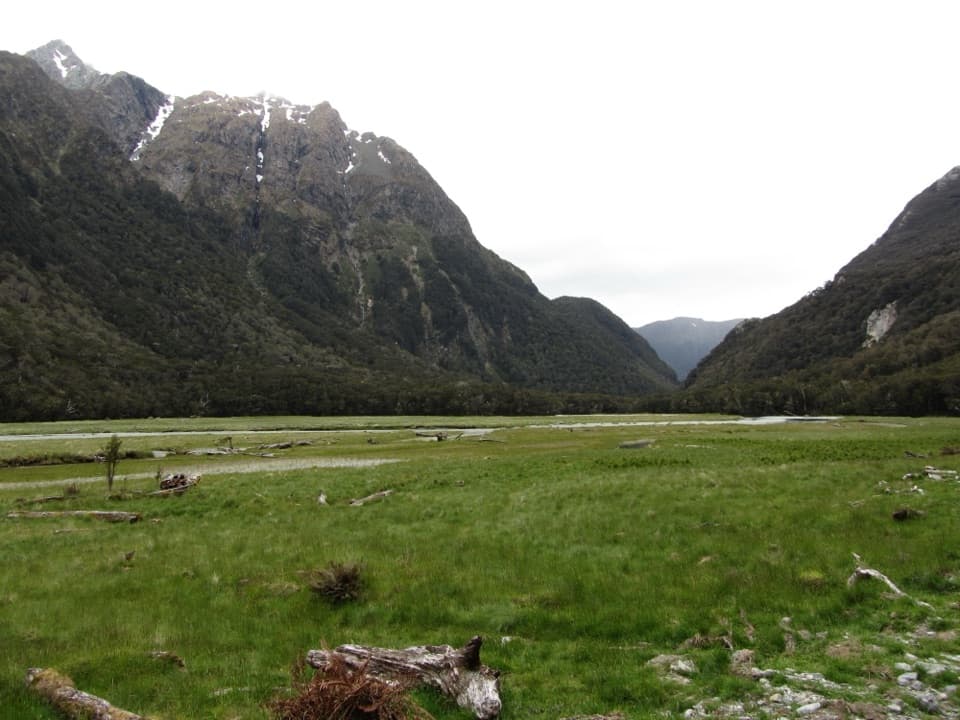 ModerateRouteburn Flats Track15 km · 4 hr · At the trailheadFollow an 1870s bridle path to open valley flats.
 ChallengingSugarloaf Pass Track8 km · 6 hr · At the trailheadA hard climb to a broad pass above two valleys.
 ChallengingRouteburn North Branch Track21.7 km · 8.5 hr · At the trailheadA long valley walk with rough tread and Humboldt mountain views.
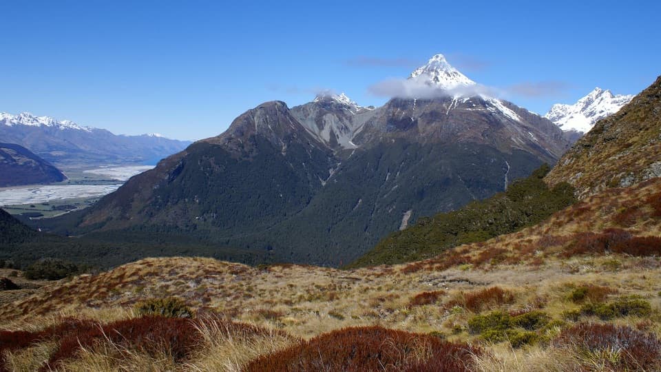 ChallengingSugarloaf/Rockburn Track16.9 km · 9.5 hr · At the trailheadAn advanced full-day traverse over Sugarloaf Saddle to Lake Sylvan.
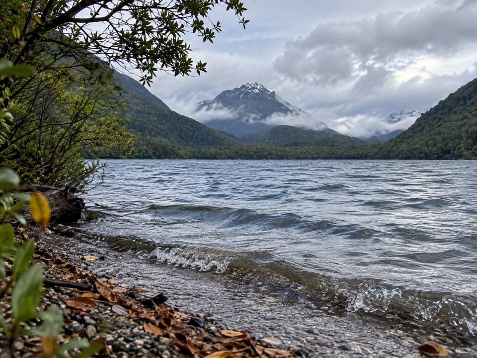 ModerateLake Sylvan–Rockburn Track14.5 km · 5 hr · 2.9 km awayA long forest tramp pays off at Rockburn’s blue pools.
 Campground · 2.9 km awaySylvan CampsiteA simple riverside base for Lake Sylvan and the Routeburn
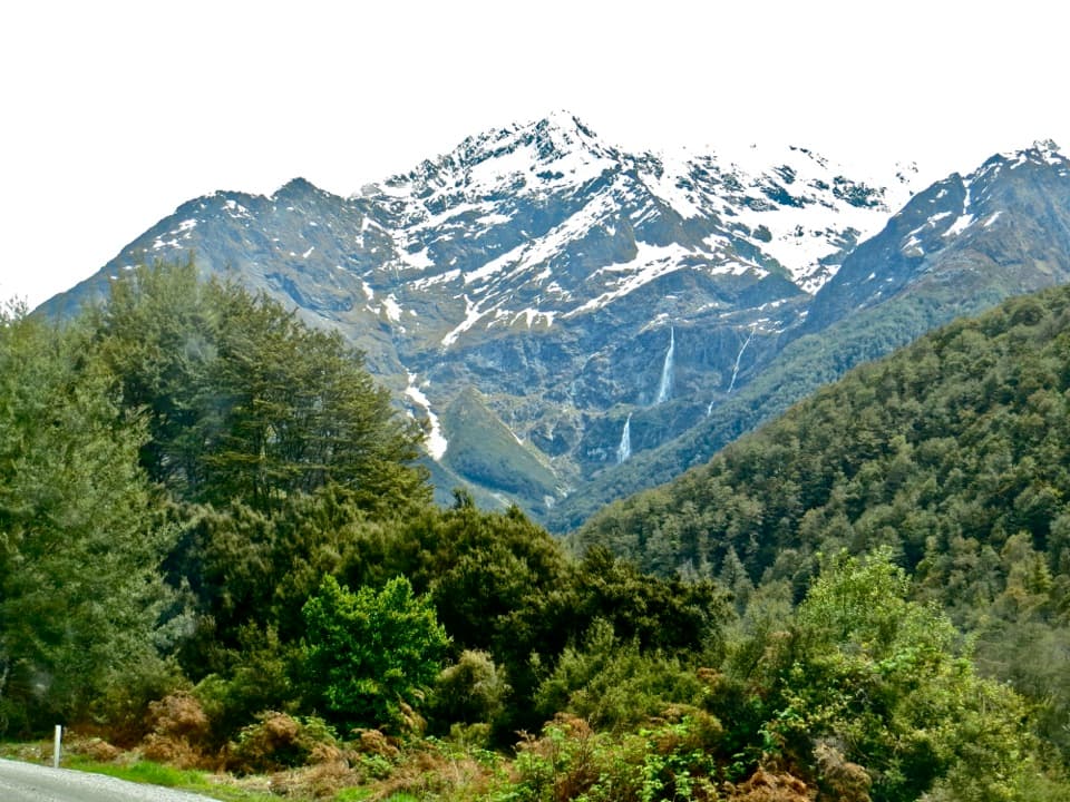 Sight · 3 km awayBridal Veil FallsA 57-metre fall framed by the Routeburn's forest and snowy peaks.
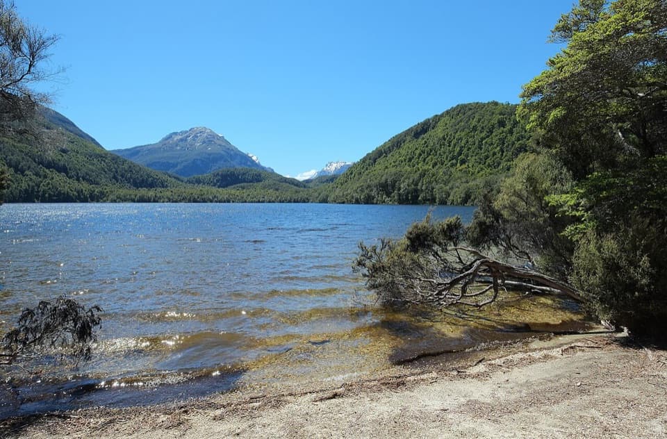 Sight · 3.6 km awayLake SylvanA gentle forest walk ends at a lake with a mountain view.
 Lodging · 5.1 km awayRouteburn Flats HutA good first night on the Routeburn, with the valley opening wide.
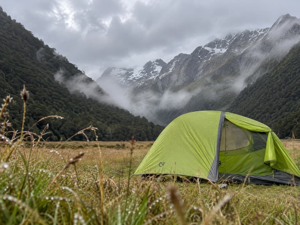 Campground · 5.2 km awayRouteburn Flats CampsiteA 15-site walk-in camp on the Routeburn's open grassy flats.
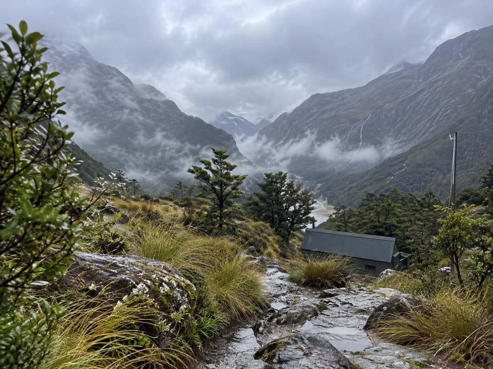 Lodging · 6.3 km awayRouteburn Falls HutSleep at the bushline with the falls close by.
 Sight · 6.3 km awayRouteburn FallsA 9.8 km walk to a cascade at the bushline.
 Sight · 8.1 km awayLake HarrisA wide lake view built into the Routeburn’s high alpine crossing.
Parkwolf’s Mount Aspiring ranking

The audio tour guide for the drive, plus offline maps, trails, and wildlife heatmaps for when the signal drops.