Earnslaw Hut in Mount Aspiring National Park

Lodging · Mount Aspiring National Park

Earnslaw Hut

A weathered four-bunk stop on the long Kea Basin climb.

Overview

About Earnslaw Hut

Why stop

  • A characterful historic hut with views up the Rees Valley.

Heads up

  • A long, advanced approach with river-crossing and avalanche hazards.

Map

Where it is

Loading the Mount Aspiring map
Full map
LodgingEarnslaw Hut-44.62208, 168.44808
Keep this map with you offline in the Parkwolf app

Plan your stop

Before you go

1 active Mount Aspiring alert

  • CautionRob Roy Track: stop at lower lookout during avalanche seasonFrom May through November, end your Rob Roy Track hike at the lower lookout; DOC strongly recommends against continuing to the upper lookout because the track crosses active avalanche paths.Official details

Mount Aspiring alerts
A park ranger sits on a dash-mounted phone, talking, as Parkwolf’s Tour Guide plays “Army Cutworm Moths: A Grizzly Bear Buffet” on Grand Loop Road below Dunraven Pass in Yellowstone
Parkwolf Tour GuideThe highest, rockiest slopes around here are a summer buffet for grizzly bears.

Mount Aspiring Tour Guide

Your drive to Earnslaw Hut, narrated.

Parkwolf is a GPS audio tour guide for Mount Aspiring National Park. As you drive, it chimes in with what’s ahead: hidden gems, upcoming stops, history, geology, and wildlife, right through your car’s speakers.

See the Mount Aspiring audio tour

More stories near here in the app

  • Muddy Creek and the Rees-Dart Traverse
  • 80 audio storiesacross Mount Aspiring’s roads, triggered by GPS as you drive
  • Wildlife heatmapsfor Kea, Rockwren, Yellowhead, and 8 more
  • Works offlinemaps, 50 trails, 52 places, and audio download before you lose signal
  • CarPlay readysimple controls built for the drive
★★★★★
“Fantastic app with many points of information… It’s great to just turn on while you’re driving and it gives you an audio tour of the national Park. We love it!!!!”
JMJamesApp Store review
Download Parkwolf on the App StoreGet Parkwolf on Google Play

4.7 from 8,600+ ratings

Guide

More about Earnslaw Hut

A hut partway into Kea BasinEarnslaw Hut is a small, basic four-bunk shelter roughly halfway up the climb to Kea Basin…

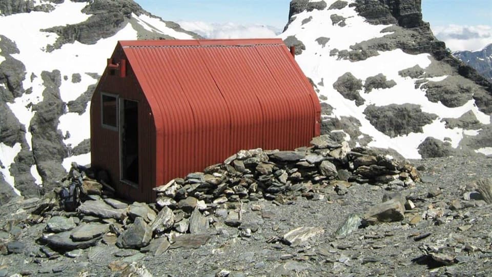
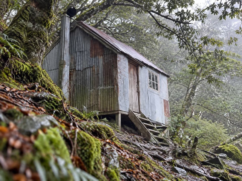
Earnslaw Hut is a small, basic four-bunk shelter roughly halfway up the climb to Kea Basin beneath Pikirakatahi / Mount Earnslaw. It is a genuine backcountry overnight stop, not a road-accessed shelter; a rock bivvy sits just above the bush line, and the tussock basin continues higher. The reward is a quiet place to pause with views up the Rees Valley toward Rees Saddle.

Plan for a demanding approachFrom Muddy Creek car park, follow Rees Track and then Kea Basin Track.

From Muddy Creek car park, follow Rees Track and then Kea Basin Track. The route is advanced and takes about 8–10 hours return to Kea Basin. Rees Valley Road is gravel with fords and takes roughly 30 minutes from Glenorchy. The Rees and its tributaries can become dangerously swift when high, so river-crossing experience is essential. Avalanche terrain can cross the track, usually from May to November but possible in any season; check current conditions before setting out. Dogs are not permitted.

What the hut providesThere are four first-come, first-served bunks, heating and water from a stream, with no booking…

There are four first-come, first-served bunks, heating and water from a stream, with no booking needed. Bring your own food and a way to treat water. Current track information lists a non-flush toilet, though older hut reports disagree, so check its condition before relying on it.

A history shaped by avalanchesThe hut was built around 1900 to accommodate tourists.

The hut was built around 1900 to accommodate tourists. Avalanche airblasts demolished it in 1924 and again in 1936; the next rebuild was placed lower on the slope and used mature beech in the hope that the trees would offer more protection. A renovation by Garth Varcoe and his family in the 1980s helped the old hut survive.

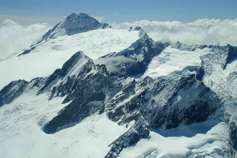
A significant mountain landscapeKea Basin is a subalpine tussock bowl beneath Pikirakatahi / Mount Earnslaw.

Kea Basin is a subalpine tussock bowl beneath Pikirakatahi / Mount Earnslaw. The basin adjoins the mountain’s Topuni, recognising its historic and cultural importance to Kāi Tahu. From the hut area, the view opens up the Rees Valley toward Rees Saddle.

Wildlife

Wildlife in Mount Aspiring

All Mount Aspiring wildlife maps

Sighting maps show where each species has been reported across Mount Aspiring. Wildlife moves, so no sighting is guaranteed.

Parkwolf’s Mount Aspiring ranking

Top sights in Mount Aspiring

All 52 places
  1. 1Mount Aspiring / TititeaSight
  2. 2Blue PoolsSight
  3. 3Rob Roy GlacierSight
  4. 4Thunder Creek FallsSight
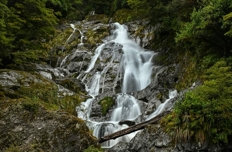
  5. 5Fantail FallsSight
  6. 6Routeburn FallsSight

Take Parkwolf to Mount Aspiring.

The audio tour guide for the drive, plus offline maps, trails, and wildlife heatmaps for when the signal drops.

4.7 from 8,600+ ratings

Download Parkwolf on the App StoreGet Parkwolf on Google Play