
Place · 0.5 mi away
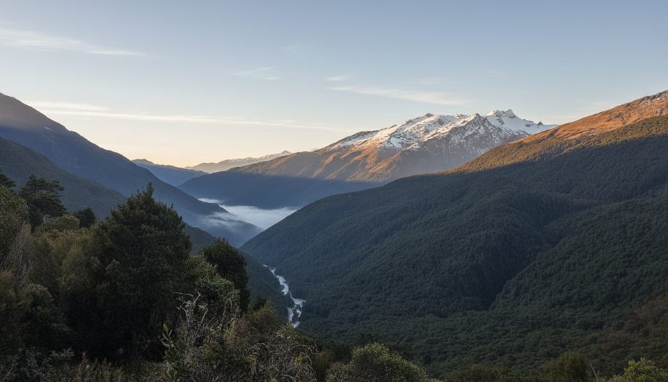
Haast Pass / Tioripatea is the low gateway through the Southern Alps, cresting at 563 m on State Highway 6 between Makarora and Haast. The drive threads largely unmodified beech forest with no settlements in between, making it feel wild and remote despite being a sealed highway. It’s generally accessible in all weather, but conditions can change fast.
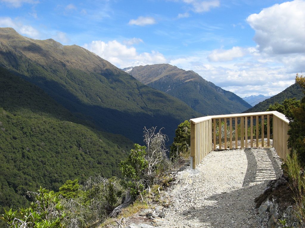
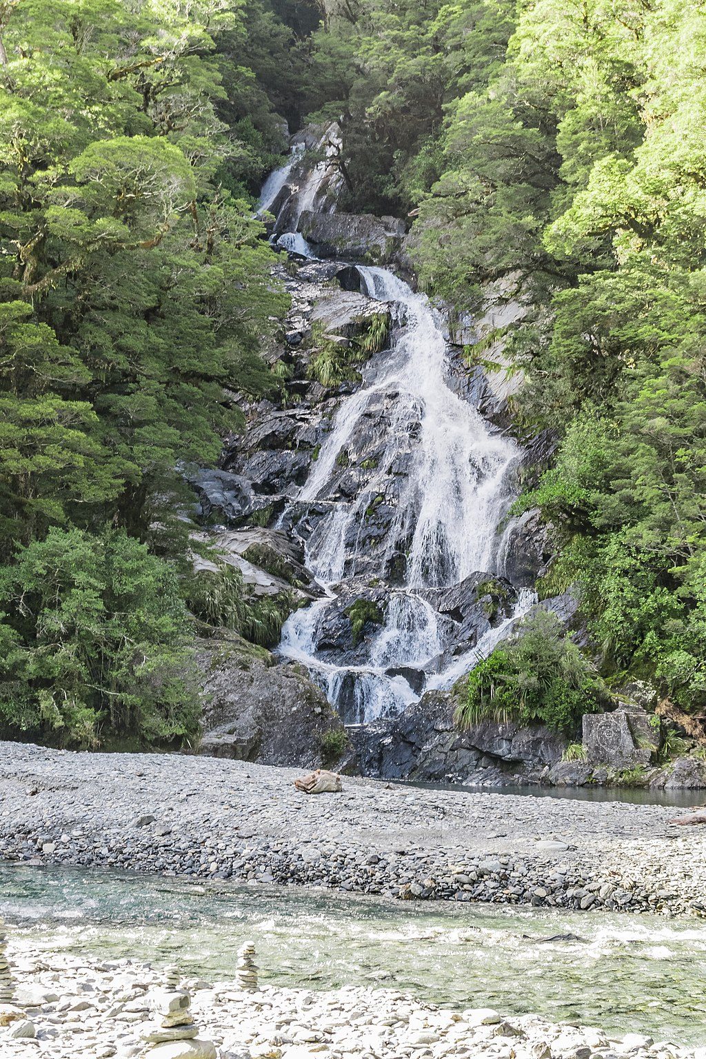
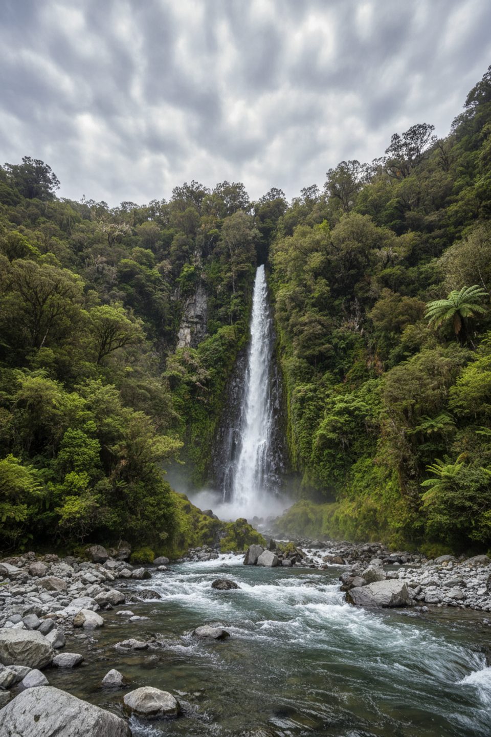
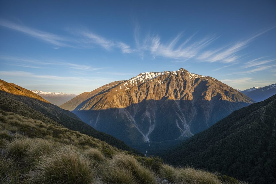
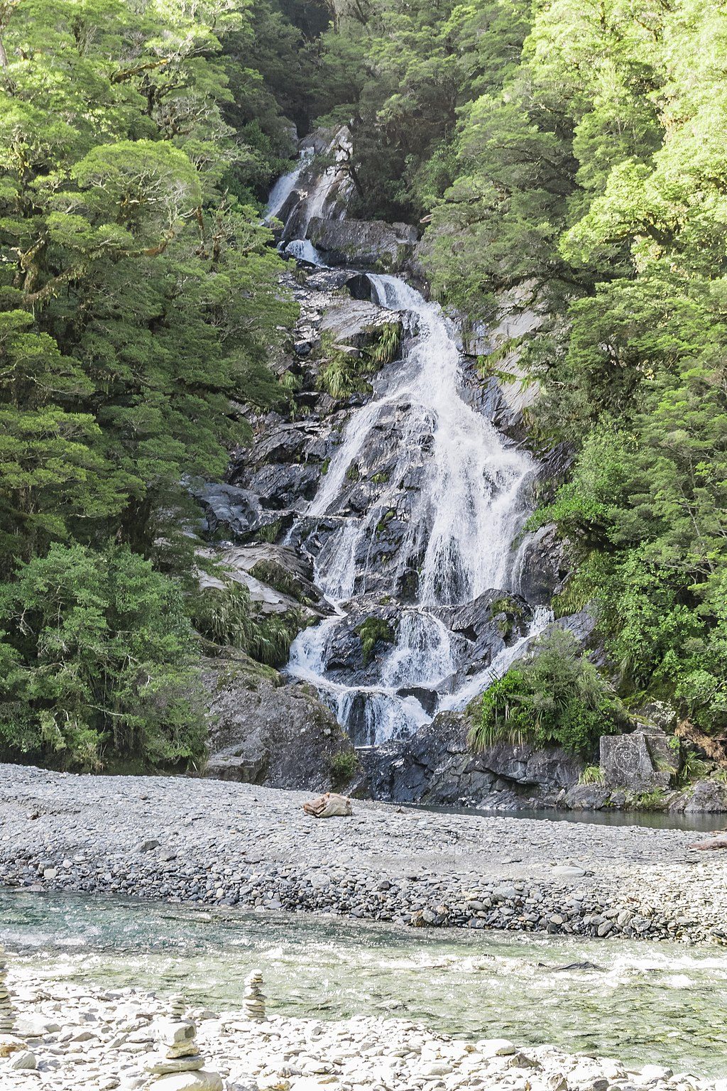
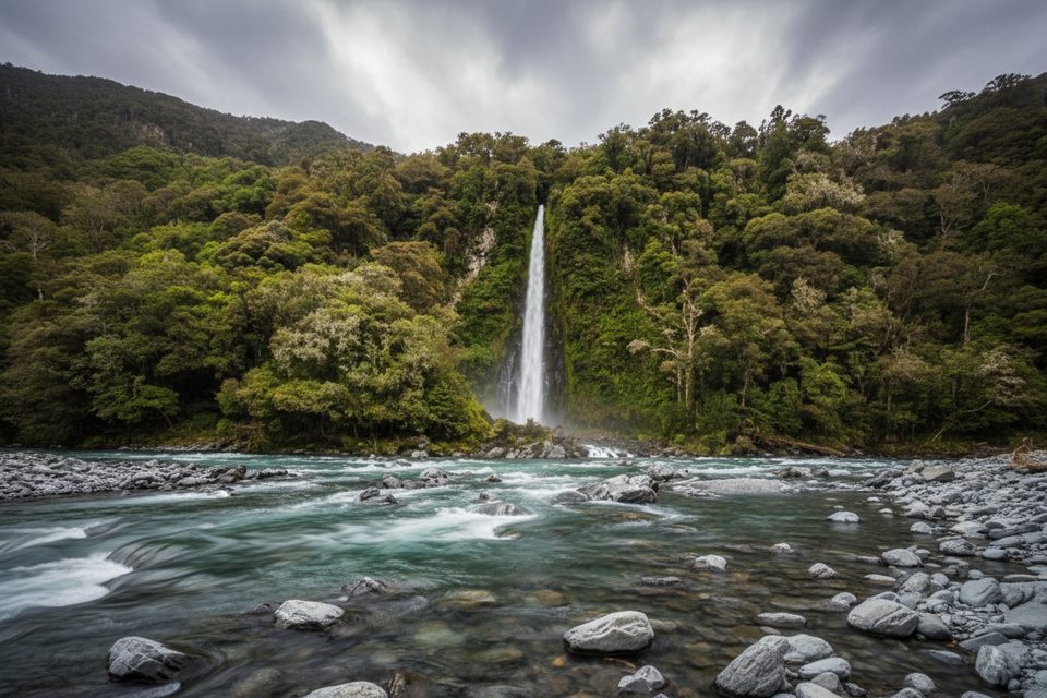
Expect a greatest‑hits sampler of river flats, U‑ and hanging valleys, and schist‑covered mountains. Classic photo stops line the highway—Roaring Billy Falls, Thunder Creek Falls, and Fantail Falls are all signed and quick to visit. At the summit, the Haast Pass Lookout Track climbs about 150 m through beech forest to a wide view of Kā Tiritiri o Te Moana (Southern Alps), with Mount Brewster standing out on clear days.
For centuries Māori used this route to trade pounamu and food between the West Coast, Foveaux Strait, and Coastal Otago. The Kāi Tahu name Tioripatea is often translated as “the way ahead is clear.” European parties followed in the 1800s—Charles Cameron likely crossed in 1863, and Julius von Haast’s expedition reached the pass the same month. A pack track existed by the 1870s; large roadbuilding programs in the 1930s pushed the route forward, with the highway to Haast completed in 1960 and the final Westland–Otago link finished in 1965.
Schist dominates the roadside outcrops, a nod to the area’s intense heat‑and‑pressure history; the Alpine Fault even crosses the road east of Haast. Glaciers carved the broad U‑shaped valleys and left ice‑smoothed outcrops; rivers then laid down the flats you drive across. Rainfall is serious business here—over 3,800 mm at Haast, more than 8,300 mm on the lower western slopes, and around 4,500 mm at the pass—so views can vanish in cloud and rivers rise quickly after downpours.
Listen and look for fantail/pīwakawaka, tomtit/miromiro, and rifleman/tītipounamu in the forest. Mohua/yellowhead and kākāriki/yellow‑crowned parakeet are locally common, and paradise shelduck/pūtakitaki often graze the open river flats.
There are no shops or fuel along the pass itself—stock up in Makarora or Haast. Mobile reception is patchy around the summit and trailheads. There are no toilets at the summit car park; the nearest are at Blue Pools car park and Cameron Flat on the east side, and Pleasant Flat further west. The Awarua/Haast Visitor Centre at Haast Junction has toilets during opening hours. Expect a scenic but winding alpine highway with one‑lane bridges—drive to conditions.
Come on a clear day for the lookout views; after heavy rain, cloud and high rivers can dull the experience. Morning or late afternoon often feel quieter at the waterfall pull‑offs, and any day works if you’re prepared for fast‑changing weather.
Place · 0.5 mi away
Place · 2.4 mi away
Place · 3.2 mi away
Place · 3.6 mi away
Challenging · 2.4 mi away
Easy · 2.4 mi away
Easy · 4.4 mi away
Easy · 5.2 mi away

Parkwolf Tour Guide
