
Place · 0 mi away
Easy
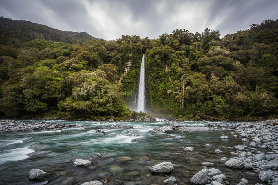
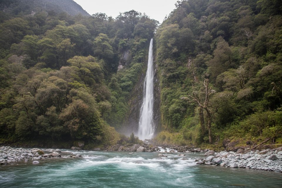
This is a true pull‑off gem: a very short, wide path to a viewing platform over the Haast River facing Thunder Creek Falls. The walk is roughly 0.2 miles total (out‑and‑back) with negligible elevation. It’s easy, quick, and delivers a big waterfall view with minimal effort.
You’ll see conflicting numbers for the height here; the official figure is 28 m, even though some listings still claim 96 m. Either way, it’s an impressive single‑plunge drop into a turquoise river corridor framed by lush forest.
The track is short, well‑formed, and leads straight to the main viewpoint. Optional steps drop from near the platform to the riverbank; they’re handy if you want a closer angle or to cool your toes, but expect icy water and slippery stones. Plan just a few minutes of walking and as long as you like for photos.
Parking is roadside on State Highway 6, about 50 km south of Haast. There are no toilets at the car park; the nearest facilities are at Pleasant Flat Campsite roughly 5 km north. This spot is popular, so the small lot can feel busy at peak drive‑times. Sandflies are common—pack repellent.
The short walk to the viewing platform suits most visitors. The optional steps to the river are not suitable for wheelchairs or strollers. Stay behind barriers at the platform; rocks can be slick, and the Haast River is swift.
Drones require a permit to fly on public conservation land. Pets are not allowed; certified service dogs only.
Year‑round. The falls are especially punchy after rain or during the spring melt. If you’re road‑tripping the pass, it pairs nicely with nearby Fantail Falls or Roaring Billy for a quick waterfall trifecta.
Small roadside car park on SH6 about 50 km south of Haast; no toilets here—nearest are at Pleasant Flat Campsite ~5 km north.
Sandflies; wet, slippery rocks by the river; swift Haast River—stay behind barriers. Drones need a permit. Steps to river are not accessible.
Place · 0 mi away
Place · 0.7 mi away
Place · 1.3 mi away
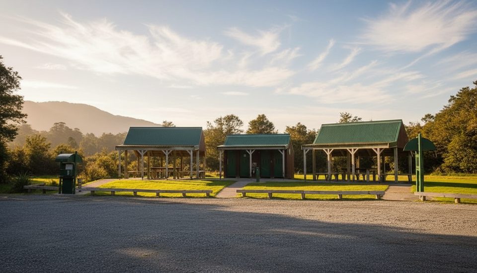
Place · 2 mi away
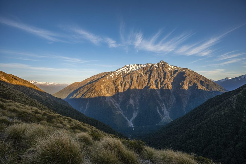
Challenging · 2.9 mi away
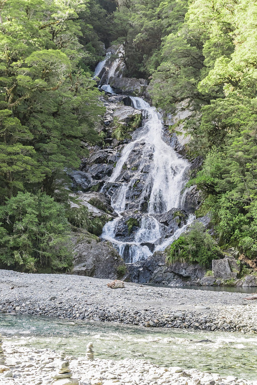
Easy · 2.9 mi away
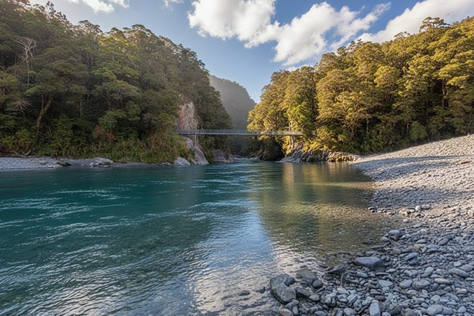
Easy · 9.3 mi away
Easy · 9.8 mi away

Parkwolf Tour Guide
