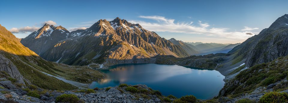
Lake Nerine

Remote alpine tarn on a demanding 3–4 day circuit
Lake Nerine, Mount Aspiring National Park
InsideMount Aspiring National Park

Overview

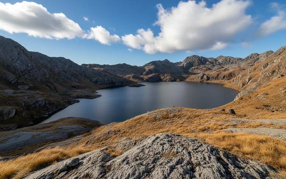
Lake Nerine is a remote alpine tarn tucked high above the Routeburn and Rockburn valleys. It’s the jewel on a demanding 3–4 day off‑track circuit linking North Col, Park Pass, and Sugarloaf Pass. Expect a true backcountry experience: big elevation, hands‑on tussock and boulder travel, and plenty of route‑finding. For skilled parties, the payoff is a wild, quiet basin that feels a world away.

The Classic Circuit (3–4 days)

  • Start/finish: Routeburn Shelter near Glenorchy, with a brief on‑track approach via the Routeburn to Routeburn Flats.
  • Typical stats: roughly 44–45 km and about 2,700 m of gain/loss.
  • Usual flow: Routeburn Shelter → Routeburn Flats → up the North Branch → North Col → descending sidle (~1400 m) → Lake Nerine (camp) → careful traverse to Park Pass → descend to Theatre Flat (Rockburn) → Sugarloaf Pass → out to the Routeburn road end.

What You’ll See

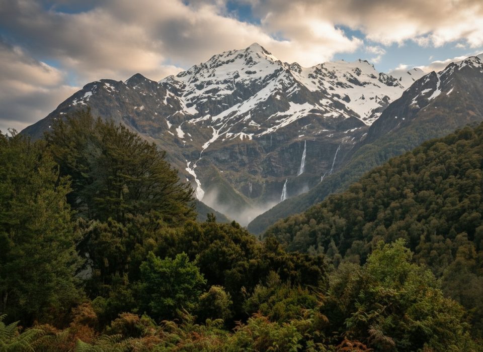
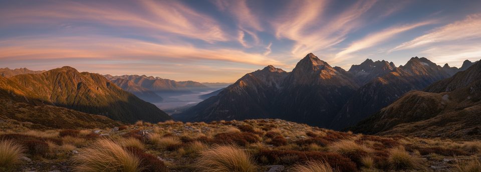
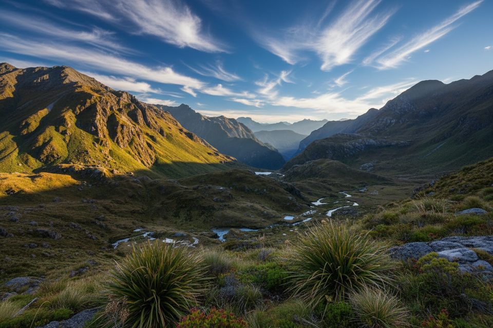
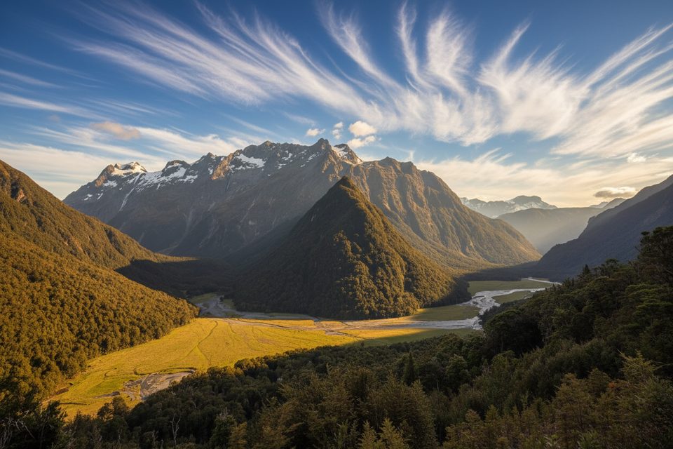
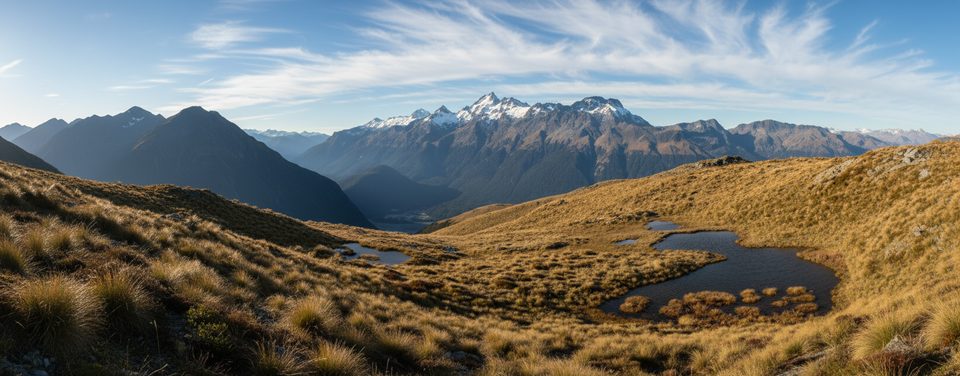
This country sits on hard Haast schist carved by repeated glaciations, so you get textbook U‑shaped valleys, hanging basins, and perched tarns—Lake Nerine being the star. Around the lake you’ll find rocky benches suitable for small tents, plus sweeping views across a dramatic, steep landscape. Some parties add a side look at the Park Pass Glacier if conditions allow.

Difficulty and Conditions

Much of the route is unmarked. Low cloud makes the Lake Nerine → Park Pass traverse particularly tricky. Steep snowgrass/tussock, slips, bluffs, and boulder fields demand sure footing, and snow/ice can linger well into summer. River crossings on the approaches are likely; be ready to reassess if flows rise.

Wildlife

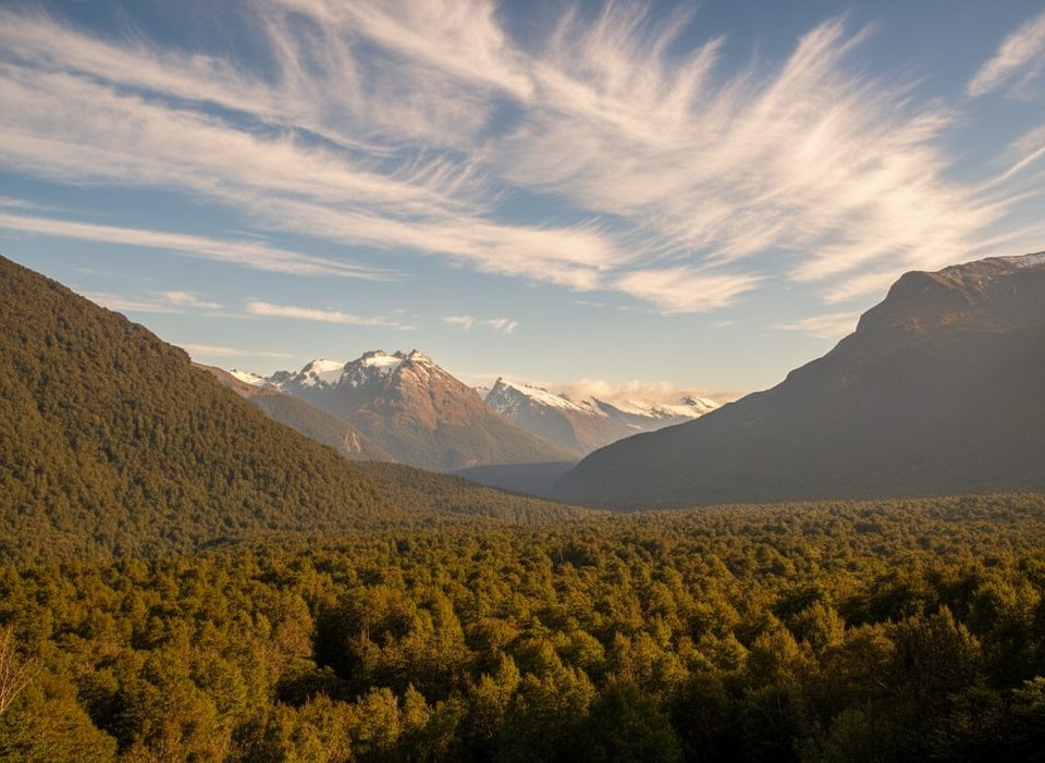
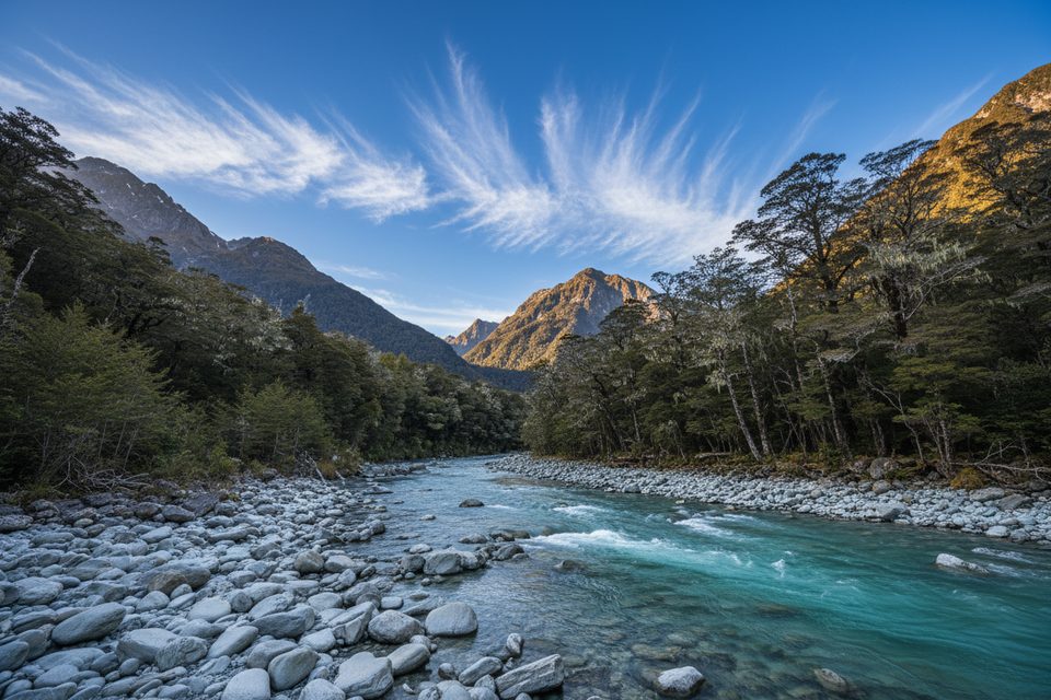
Keep an eye out for alpine and river specialists: kea and rock wren/tuke in the high country, and whio/blue duck in fast water (they’ve been seen in the Rockburn). Beech forest sections can hold mohua/yellowhead, kākā, parakeets, and robins. Sandflies can be abundant on the flats.

Logistics and Facilities

  • At Lake Nerine: no toilets, taps, shelters, or designated tent pads—this is unmanaged alpine camping. Use durable rock or gravel, camp well away from the water, treat all water, and pack out all waste.
  • Trailhead: long‑drop toilets at the Routeburn Shelter (about 30 minutes from Glenorchy, ~1.5 hours from Queenstown).
  • On the approach: Routeburn Flats Hut has toilets, water, bunks, and in the Great Walks summer season also flushing toilets and cooking gas/burners; bookings are required in season. For the 2025/26 season those Great Walk dates are 1 Nov 2025–30 Apr 2026, with posted fees for the Flats Hut and campsite during that window.
  • Drones: flying requires a permit on public conservation land.

Best Time to Visit

Aim for a stable late‑summer window when residual snow is least likely. Start early each day to bank daylight and firmer conditions on steep traverses. Crowds aren’t an issue at the lake itself, but the Routeburn approach is busiest in Great Walk season—moving early or midweek keeps things smoother.

Safety Essentials

This trip suits parties with strong off‑track navigation. Carry printed topo maps plus compass and GPS/PLB, use conservative weather windows, and consider light traction if snow remains. Poles help on steep snowgrass and in river crossings.

Pros

  • Spectacular alpine tarn set in a glacial cirque
  • Informal camping spots around rocky shores

Cons

  • No facilities at the lake
  • Unmarked, steep terrain with snow/ice possible even in late summer

Tips

  • Book Routeburn Flats Hut or Campsite if staging during Great Walk season (1 Nov 2025–30 Apr 2026).
  • Carry printed topo, compass, and a GPS/PLB—low cloud can make the Nerine–Park Pass traverse confusing.
  • Start early to manage the steep traverses and to keep a conservative weather buffer.
  • Treat all water and camp well back from the lake on durable rock or gravel.
  • Expect sandflies on the flats; pack repellent and cover up around Theatre Flat.
The Parkwolf tour guide sitting on a phone mounted in a car

Parkwolf Tour Guide

Like a tour guide in your car.

Save the places you found around Mount Aspiring, then let Parkwolf guide the drive between them.Download Parkwolf on the App Store