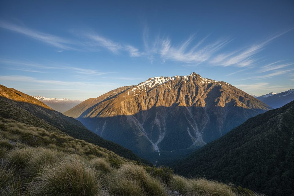
Overview
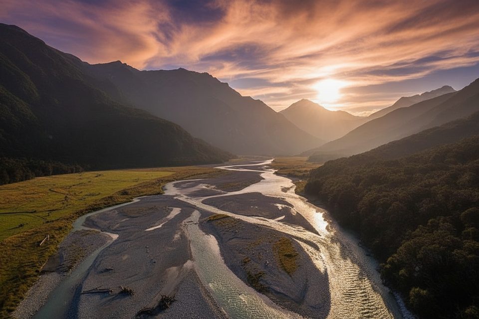
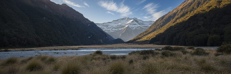
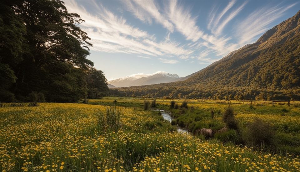
The Wilkin River Valley is big, raw country: classic U‑shaped glacial scenery, long river flats, and beech forest giving way to alpine basins. It’s a rewarding tramp, but the rivers and weather call the shots—build in margin and bring real backcountry judgment.
Main Routes and Timings
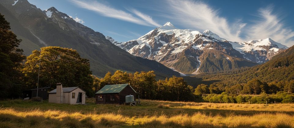
- Wilkin Road (off SH6 near Makarora) → Kerin Forks Hut: 15 km, 4–5 hr. You must first reach and cross the Makarora River, then follow the true left of the Wilkin through forest and open flats. Kerin Forks Hut sits on the true right near the Siberia Stream confluence, requiring another Wilkin crossing.
- Kerin Forks Hut → Top Forks Hut: 15 km, 6–8 hr via beech forest, slips and steep ravines, out onto Wonderland and Jumboland flats. Above the forks the route is partly unmarked on river flats; in higher flows, follow markers over a hill to the hut.
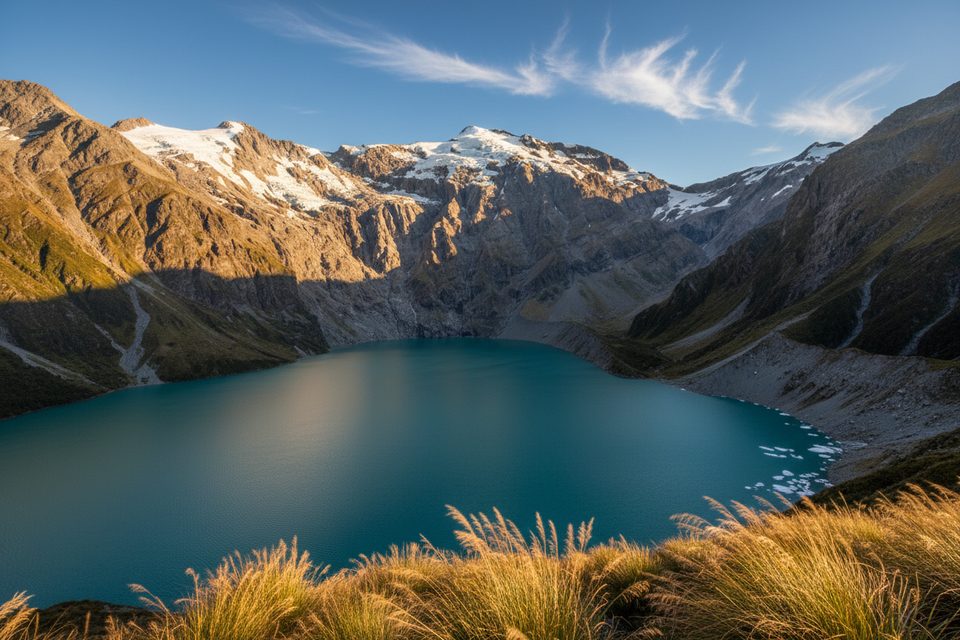
- Day trips from Top Forks (North Branch): Lake Diana ~1 hr; Lake Lucidus ~1 hr 30 min; Lake Castalia 3–4 hr with a loose‑rock scramble near the lake.
- Popular circuit add‑on: Gillespie Pass Circuit often finishes via Siberia → Kerin Forks (2–3 hr) → road end (4–5 hr), or a jet‑boat exit from Kerin Forks.
Logistics on the Ground
- Access: Expect no formal carpark or facilities at the Wilkin Road end. Trackside facilities are essentially hut toilets only; treat water from streams/rivers.
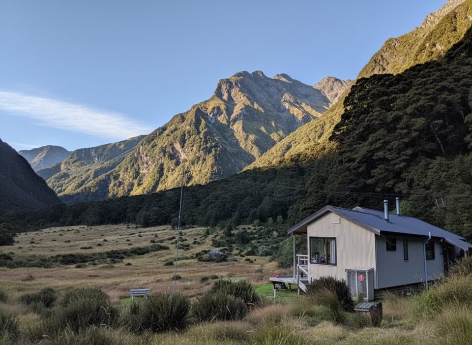
- Huts: Kerin Forks (10 bunks) and Top Forks (16 bunks) operate on tickets/passes. Siberia Hut (20 bunks) uses summer bookings (late Oct–30 Apr). Summer is busy—carry a tent/backup.
- Info: There’s no DOC visitor centre in Makarora. Use the Tititea/Mount Aspiring National Park Visitor Centre in Wānaka for hut tickets, PLB hire, maps, and current track/river/avalanche updates.
- Transport: Local jet‑boat services can drop or collect at Kerin Forks/Young mouth—handy when the Wilkin is high.
Hazards You Must Respect
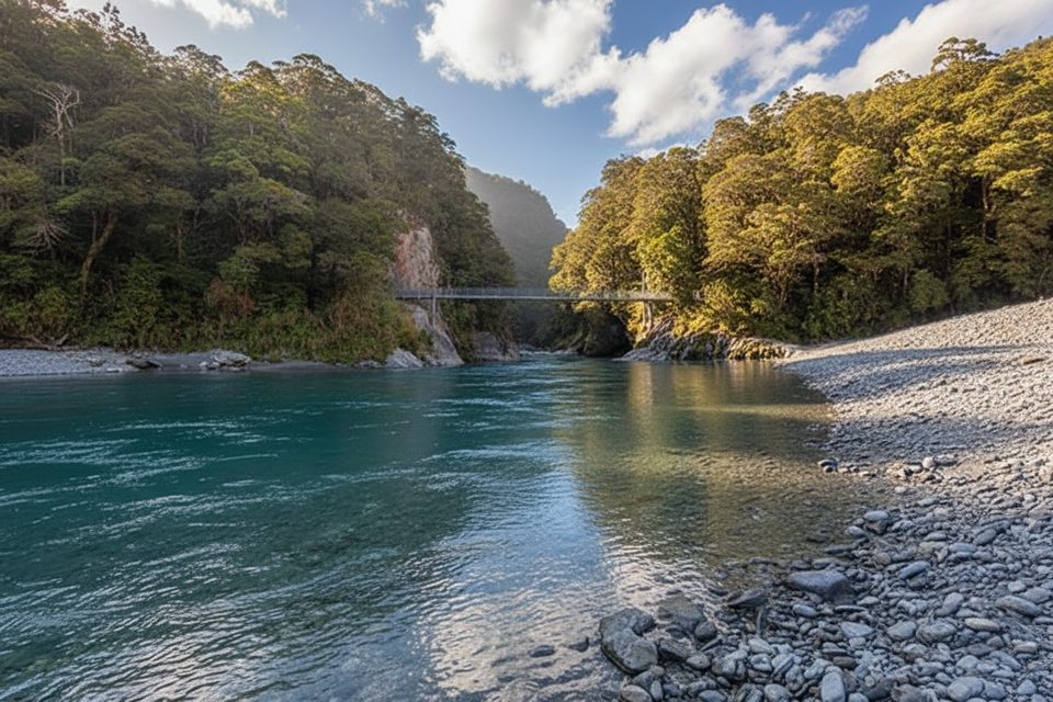
- Rivers: The Makarora and especially the braided Wilkin rise fast and often go from friendly to uncrossable. If flows are high or discoloured, wait or change plans. The Kerin Forks crossing is the crux for many parties.
- Weather: Conditions swing quickly; hypothermia is a risk even in summer. Carry full rain and warmth, and expect whiteouts in low cloud or snow.
- Avalanche: Avalanche terrain can affect the area, typically May–November—check the advisory and terrain ratings.
- Navigation and terrain: Expect slips, steep sidles, rough ground, and some unmarked sections above the forks. Phone coverage is generally absent. Swing bridges have user limits; be prepared to wait.
Advanced Option: Wilkin → East Matukituki Traverse
Only for experienced alpine trampers. From Top Forks to Ruth Flat (8–10 hr) includes the very steep, exposed Waterfall Face and Rabbit Pass (1430 m), which is hazardous when wet, windy, or snowy. From Ruth Flat to Cameron Flat (7–9 hr) you’ll negotiate Bledisloe Gorge, snow‑grass sidles, and two 3‑wire bridges before the valley floor. Treat this as an alpine route requiring mountaineering techniques in places.
Wildlife and Natural History
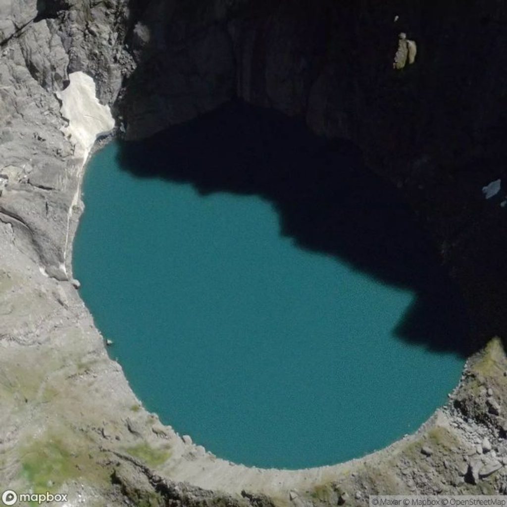
You’re walking a Pleistocene‑carved valley in Otago/Haast schist, with moraine‑dammed Lake Lucidus a standout. Keep an eye out for whio/blue duck on clear runs, inquisitive kea around basins, and the elusive pīwauwau/rock wren in alpine country. Red deer and chamois are present.
Best Time to Visit
December–April brings longer days and, typically, friendlier river levels. Late October–April is the main hut booking/visitor season. Start early on big days (Kerin Forks ↔ Top Forks) for cooler travel and more margin. In May–November, avalanche risk and snow/ice make the trip far more serious.
Responsible Travel Notes
Share your plans with a trusted contact and carry a distress beacon. Freedom camping is restricted in places—follow signage and Leave No Trace. Drones require a permit from DOC.