Pleasant Flat Campsite in Mount Aspiring National Park

Campground · Mount Aspiring National Park

Pleasant Flat Campsite

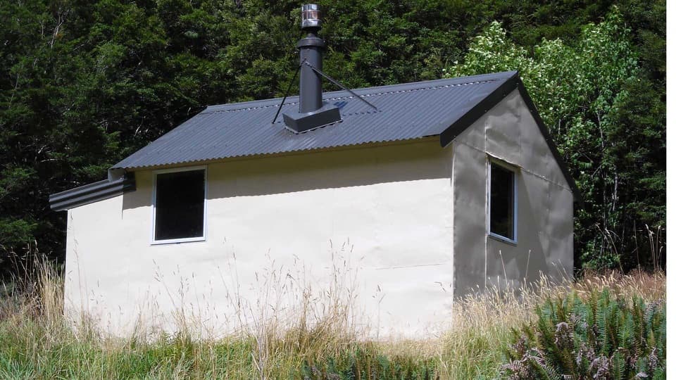
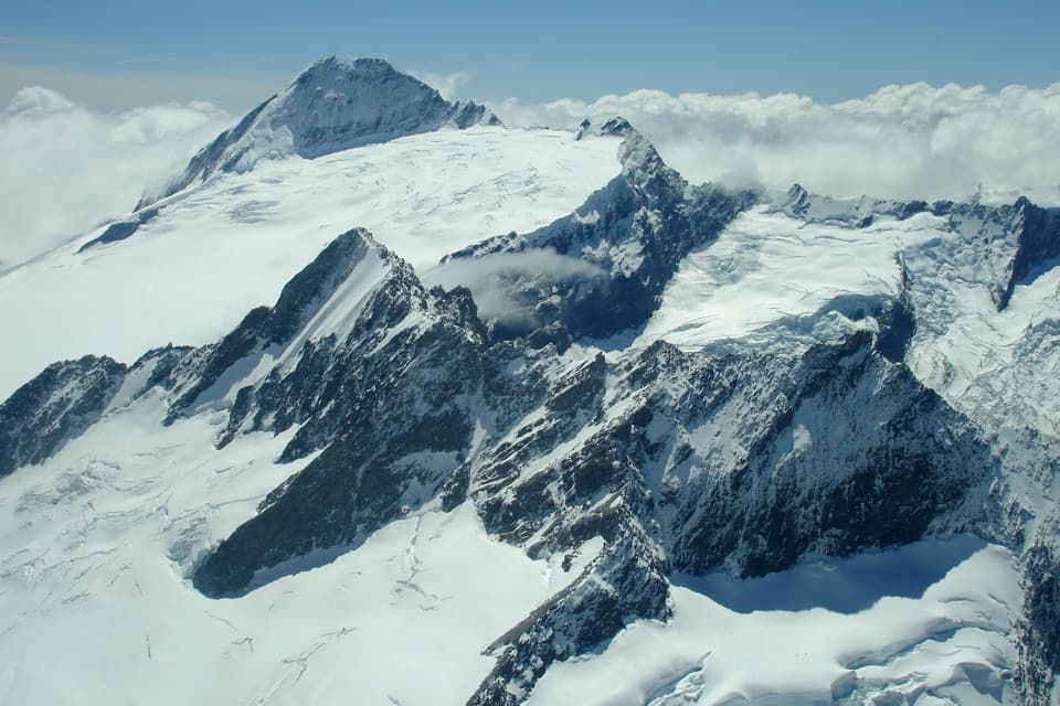
Open camping, a short stream walk, and Mount Hooker on the skyline.

Photo: Wikimedia Commons
Type
Campground
Nearest trail
Right here
Audio stories
5 nearby
  • Restrooms
  • Picnic tables
  • Scenic viewpoint

Hear the audio tour

Pleasant Flat: A Picnic and a Stream Walk

Overview

About Pleasant Flat Campsite

Why stop

  • A handy overnight or picnic break on the Haast Pass drive.

Heads up

  • Sandflies can make sitting outside uncomfortable.

Map

Where it is

Loading the Mount Aspiring map
Full map
CampgroundPleasant Flat Campsite-44.01201, 169.38129
Keep this map with you offline in the Parkwolf app

Plan your stop

Before you go

1 active Mount Aspiring alert

  • CautionRob Roy Track: stop at lower lookout during avalanche seasonFrom May through November, end your Rob Roy Track hike at the lower lookout; DOC strongly recommends against continuing to the upper lookout because the track crosses active avalanche paths.Official details

Mount Aspiring alerts
A park ranger sits on a dash-mounted phone, talking, as Parkwolf’s Tour Guide plays “Army Cutworm Moths: A Grizzly Bear Buffet” on Grand Loop Road below Dunraven Pass in Yellowstone
Parkwolf Tour GuideThe highest, rockiest slopes around here are a summer buffet for grizzly bears.

Mount Aspiring Tour Guide

Your drive to Pleasant Flat Campsite, narrated.

Parkwolf is a GPS audio tour guide for Mount Aspiring National Park. As you drive, it chimes in with what’s ahead: hidden gems, upcoming stops, history, geology, and wildlife, right through your car’s speakers.

See the Mount Aspiring audio tour

Recorded for this place

Pleasant Flat: A Picnic and a Stream Walk
0:00 / 0:28
“Pleasant Flat is coming up, an open grassy campground and picnic stop with views toward Mount Hooker. If you want a break from the waterfall stops, this is a place to eat your picnic and stretch your legs.”

Plays as you drive up to Pleasant Flat Campsite in the Parkwolf Mount Aspiring Tour Guide.

More stories near here in the app

  • The Red in the Forest Canopy
  • Cameron's Powder Flask
  • Thunder Creek Falls
  • Gates of Haast: Rapids Beneath the Bridge
  • 80 audio storiesacross Mount Aspiring’s roads, triggered by GPS as you drive
  • Wildlife heatmapsfor Kea, Rockwren, Yellowhead, and 8 more
  • Works offlinemaps, 50 trails, 52 places, and audio download before you lose signal
  • CarPlay readysimple controls built for the drive
★★★★★
“Fantastic app with many points of information… It’s great to just turn on while you’re driving and it gives you an audio tour of the national Park. We love it!!!!”
JMJamesApp Store review
Download Parkwolf on the App StoreGet Parkwolf on Google Play

4.7 from 8,600+ ratings

Guide

More about Pleasant Flat Campsite

A useful Haast Pass overnight stopPleasant Flat Campsite is a campground and picnic area on a broad grassy flat beside SH6, 45 km…

Pleasant Flat Campsite is a campground and picnic area on a broad grassy flat beside SH6, 45 km east of Haast. Its 22 non-powered/tent sites make it a handy overnight break on the Haast Pass drive, with an open outlook toward Mount Hooker and a short walk beside a mountain stream. Book ahead. It is a simple place to stop rather than a full-service holiday park, so bring meals and drinking water.

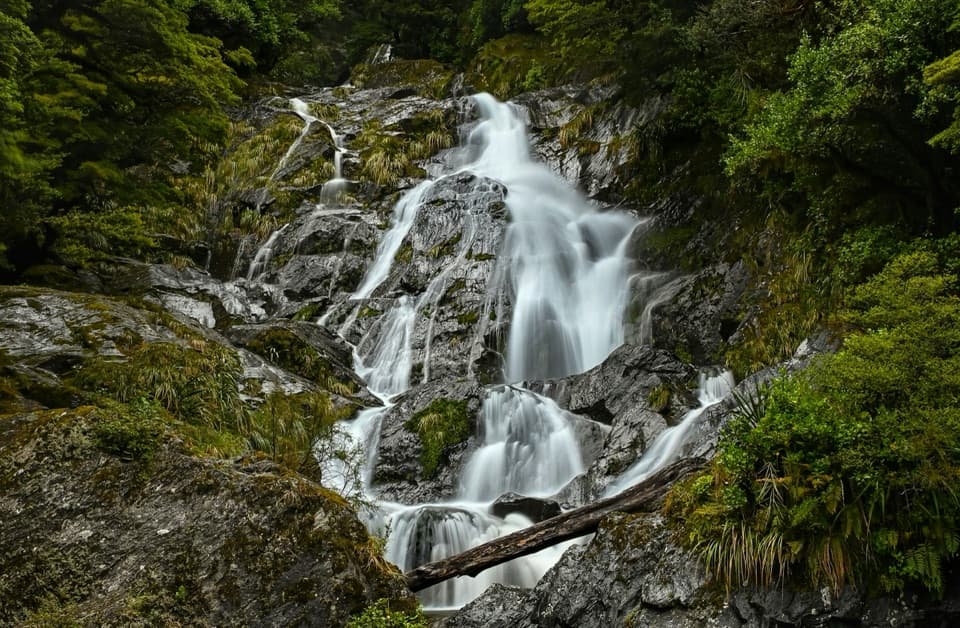
Take the short walk to the streamA short bush walk follows Muir Creek through silver-beech forest beside a mountain stream, then…

A short bush walk follows Muir Creek through silver-beech forest beside a mountain stream, then brings you back to camp. It is a pleasant leg-stretch and picnic break, not a long hike. The nearby Haast River is another option if fishing is part of your trip.

The story of the flatPleasant Flat is an alluvial floodplain of the Haast River, roughly 500 metres across and more…

Pleasant Flat is an alluvial floodplain of the Haast River, roughly 500 metres across and more than a kilometre long. The valley was carved by an arm of the Landsborough Glacier during the last Ice Age, leaving a wide open floor beneath the surrounding forested mountains. Before the highway crossed Haast Pass, travellers used small huts at nearby Burke Flat; the bridge at Pleasant Flat made this a natural roadside stopping place.

What to bringToilets and a picnic shelter with tables serve the campground.

Toilets and a picnic shelter with tables serve the campground. A tap is reported, but its water is untreated, so bring drinking water or treat it before use. Fires are not allowed and dogs are not permitted. Sandflies are the main drawback; pack repellent and clothes that cover your skin, especially if you plan to sit outside.

Wildlife

Wildlife in Mount Aspiring

All Mount Aspiring wildlife maps

Sighting maps show where each species has been reported across Mount Aspiring. Wildlife moves, so no sighting is guaranteed.

Parkwolf’s Mount Aspiring ranking

Top sights in Mount Aspiring

All 52 places
  1. 1Mount Aspiring / TititeaSight
  2. 2Blue PoolsSight
  3. 3Rob Roy GlacierSight
  4. 4Thunder Creek FallsSight
  5. 5Fantail FallsSight
  6. 6Routeburn FallsSight

Take Parkwolf to Mount Aspiring.

The audio tour guide for the drive, plus offline maps, trails, and wildlife heatmaps for when the signal drops.

4.7 from 8,600+ ratings

Download Parkwolf on the App StoreGet Parkwolf on Google Play