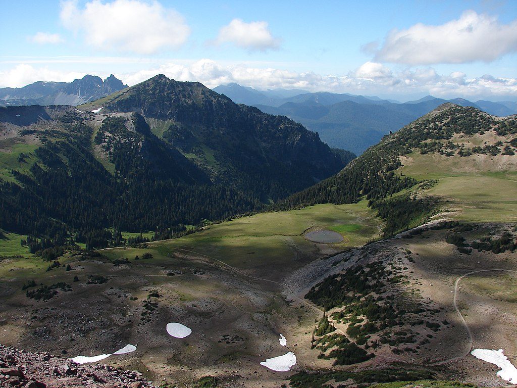
1st Burroughs Mountain

Close Emmons Glacier views from a broad alpine plateau
1st Burroughs Mountain, Mount Rainier National Park
InsideMount Rainier National Park

Overview

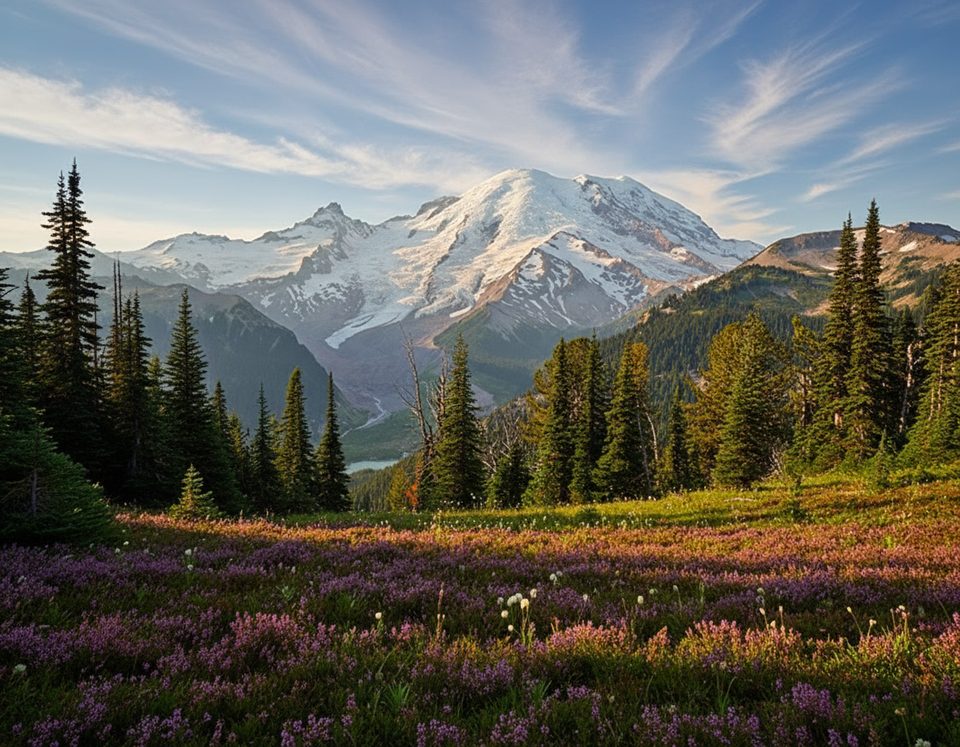
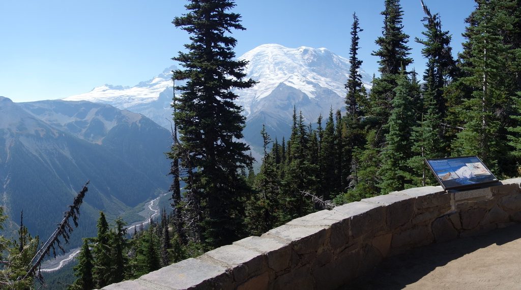
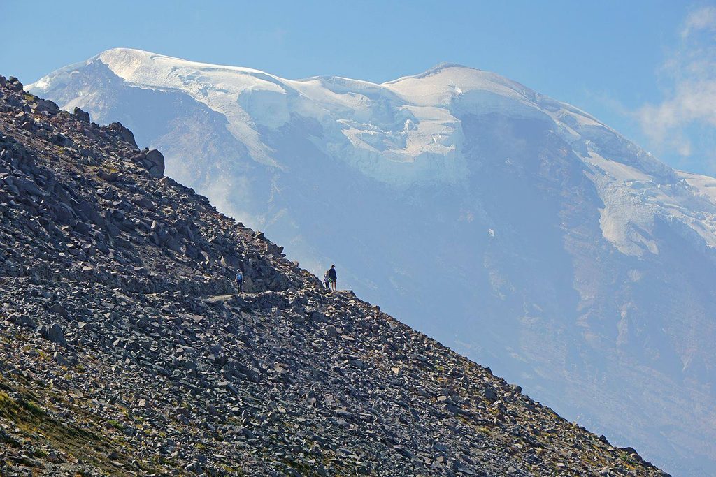
First Burroughs Mountain is the quickest way to step into true alpine tundra without a huge approach. From the Sunrise area, you climb to a wide, rocky plateau around 7,300–7,400 feet and stare straight into Mount Rainier’s northeast face and the Emmons Glacier. It’s popular for good reason: huge payoff for moderate effort.

What You’ll See

  • Face-to-face views of Mount Rainier’s Emmons Glacier and the White River valley.
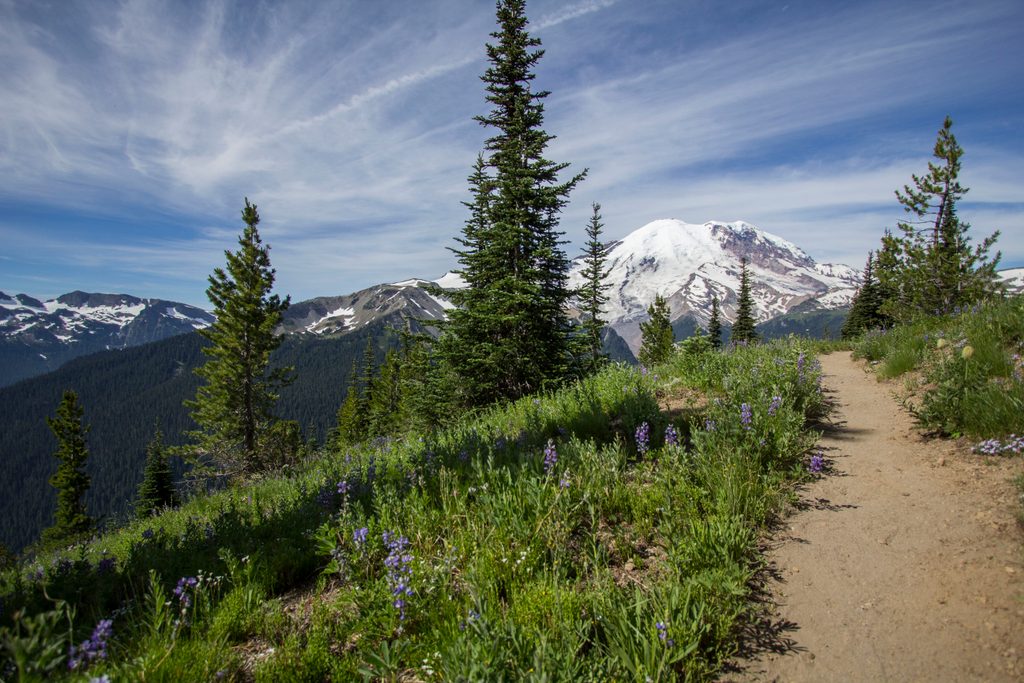
  • A stark, treeless plateau with 360-degree vistas and sparse, delicate tundra plants.
  • To the north and west, lush meadows and ridges like Berkeley Park and Old Desolate.

Route & Distance

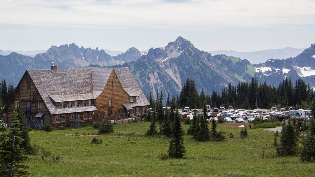
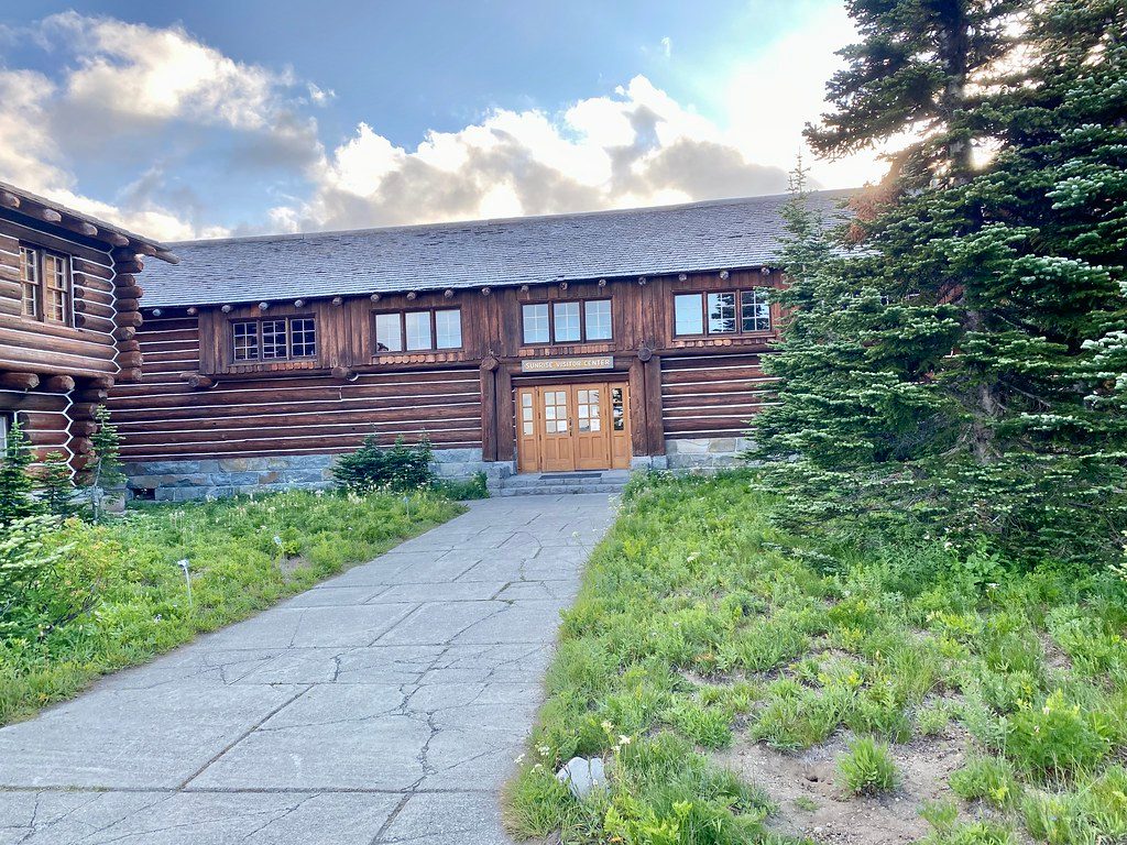
Start at the Sunrise parking area. You can head out via the south-side Sunrise Rim/Emmons Vista path past Shadow Lake, or go north via Sourdough Ridge to Frozen Lake. From Frozen Lake, it’s roughly 0.7–0.8 miles up to the First Burroughs plateau. Expect about 4.7–5 miles round-trip and ~900 feet of gain if you make First Burroughs your turnaround. Common add-ons include continuing 0.7 miles to Second Burroughs, or looping back to Sunrise via Frozen Lake and Sourdough Ridge.

Why It’s Special

This is one of the park’s most accessible true alpine tundra environments—fragile, slow-growing plants, big sky, and unobstructed glacier views from a broad, walkable summit. The sense of being right up against the mountain is hard to beat.

Wildlife

Keep an eye out for marmots and pikas in the rocks, and occasional sightings of mountain goats or black bears at a distance. Never feed wildlife.

Best Time to Visit

  • Season: Summer through early fall is the reliable window; snow can linger outside of that.
  • Crowds: It’s a very popular corridor from Sunrise. Weekends get busy, especially around midday and on the summit plateau. An early start helps with both parking and elbow room.

Know Before You Go

  • Stay on the marked trail—the alpine tundra here is extremely fragile.
  • Exposure is total: bring sun protection, layers for wind, and be ready for fast-changing weather.
  • There are no reliable water sources on the route or summit. Do not approach Frozen Lake (it’s a protected water supply).
  • No camping on Burroughs; treat this as a day hike destination.

Quick Stats

  • Elevation: ~7,300–7,400 feet
  • Distance/Gain: ~4.7–5 miles round-trip; ~900 feet gain
  • Difficulty: Moderate
  • Start/End: Sunrise parking area (loop or out-and-back)

Pros

  • Close Emmons Glacier views from a broad alpine plateau
  • Moderate hike from Sunrise with loop and extension options

Cons

  • Fully exposed to wind and sun with no shade or shelter
  • Crowded on summer weekends; no water along the route

Tips

  • Start early from Sunrise to nab parking and avoid peak crowds.
  • Return via Frozen Lake and Sourdough Ridge for a scenic loop back to Sunrise.
  • Bring plenty of water—there are no sources and Frozen Lake is off-limits.
  • Pack sun protection and a wind layer; the route is fully exposed.
  • Stay on marked paths to protect the fragile alpine tundra.
The Parkwolf tour guide sitting on a phone mounted in a car

Parkwolf Tour Guide

Like a tour guide in your car.

Save the places you found around Mount Rainier, then let Parkwolf guide the drive between them.Download Parkwolf on the App Store