
Place · 1 mi away
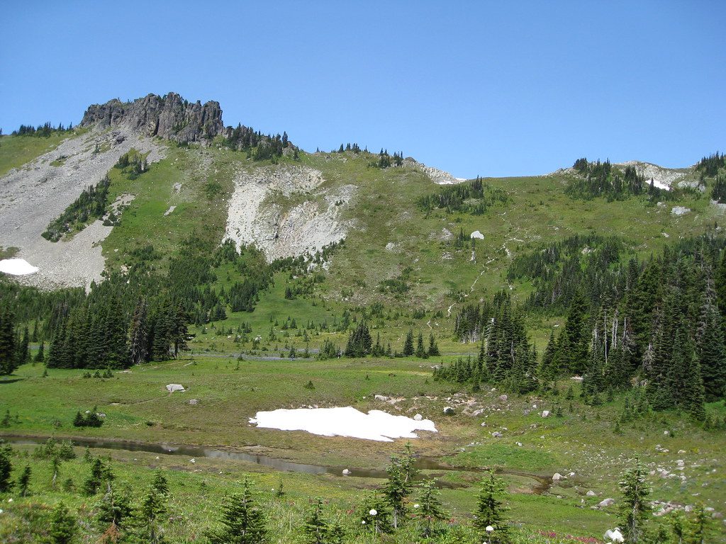
Knapsack Pass is a rugged alpine saddle tucked between Fay Peak and First Mother Mountain in the park’s northwest corner above Mowich Lake. It’s an adventurous alternative to the standard Spray Park Trail—unmaintained, unmarked, and all about route-finding and mountain judgment. If you want big country and fewer people, this is your move.
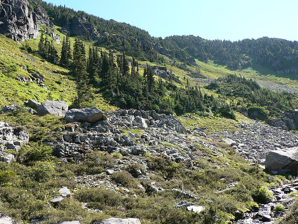
Expect a steep boot path that quickly leaves forest for meadows, talus, and sometimes hard-to-spot tread. Reports note a short out-and-back to the pass at roughly 2.9 miles round-trip with about 1,300 feet of gain, while loop variations that connect with Spray Park run closer to 6–7 miles with significantly more climbing. The terrain includes scree, talus, and snowfields that can linger well into summer. Navigation matters—there are no signs, and the path can vanish on rock or snow.
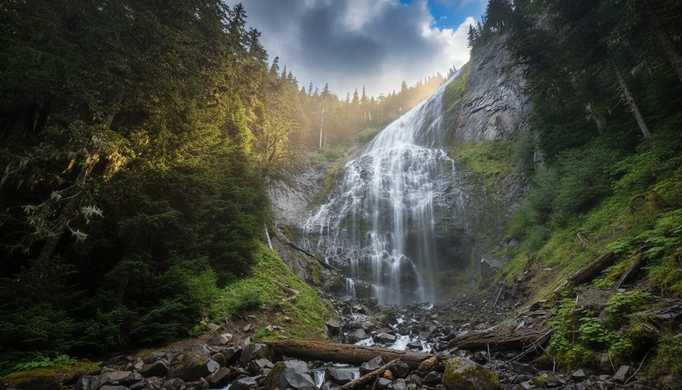
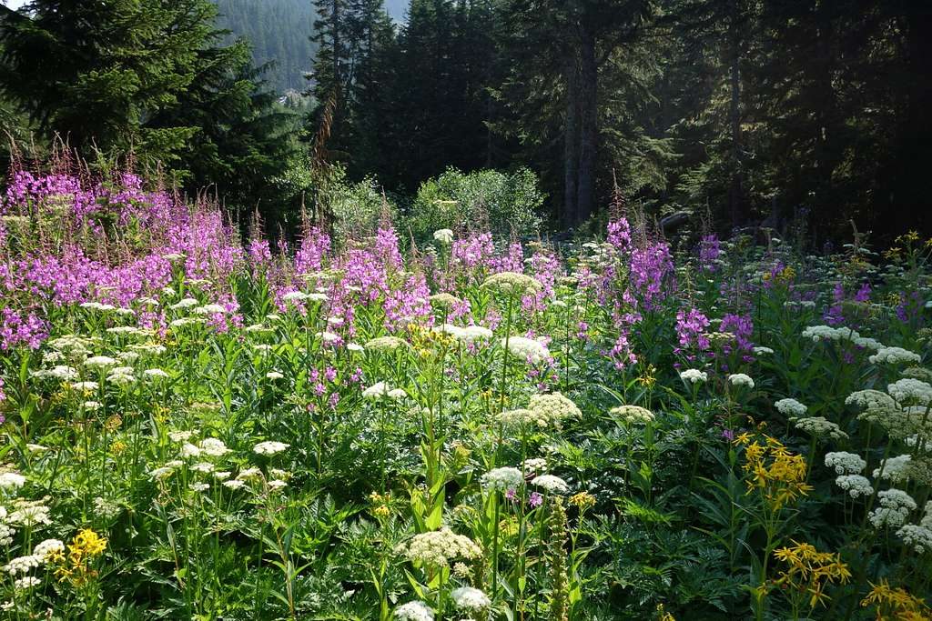
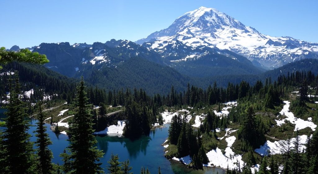
From the pass, the views sprawl across the Mowich basin toward Rainier’s massive cone, with nearby ridges and summits like Fay Peak and Mount Pleasant framing the skyline. The approach often passes lively meadows with seasonal wildflowers, small waterfalls, and rocky creeks, culminating in a classic high-country panorama.
Keep an eye out for marmots basking or whistling among the rocks and meadows near the pass.
Late summer is the safest window, when remaining snow softens and route-finding is more straightforward. On clear weekends you may still see a few parties, but it’s typically quieter than the park’s headline districts. Start early to give yourself time for navigation and changing alpine weather.
This is an unmaintained route—come with a map, compass, and/or GPS and the skills to use them. Steep scree and snow can feel exposed, and early-season snow may be slick. Check current conditions with rangers before you go. If you’re extending into an overnight traverse, you’ll need a wilderness camping permit, and campfires aren’t allowed. Stay on durable surfaces to protect fragile meadows.
Place · 1 mi away
Place · 1 mi away
Place · 1.3 mi away
Place · 1.3 mi away
Easy · 1 mi away
Moderate · 1 mi away
Moderate · 1 mi away
Challenging · 1 mi away

Parkwolf Tour Guide
