Parking
The trailhead is on the southeast side of Mowich Lake's walk-in campground. Follow the Wonderland Trail about a quarter mile to the Spray Park junction.

#9 of 99 trails in Mount Rainier
Mount Rainier National Park, WA
Climb through open meadows for Rainier views and a waterfall detour.
Overview
Map & elevation
Plan your hike

The highest, rockiest slopes around here are a summer buffet for grizzly bears.
Mount Rainier Tour Guide
Parkwolf is a GPS audio tour guide for Mount Rainier National Park. As you drive, it chimes in with what’s ahead: hidden gems, upcoming stops, history, geology, and wildlife, right through your car’s speakers.
See the Mount Rainier audio tourRecorded for this area
When People Added the Fish“The fish in Rainier's lakes have a human history. These lakes were naturally fishless, even though native fish lived in the park's rivers.”
Plays on the road 0.7 mi from the trailhead in the Parkwolf Mount Rainier Tour Guide.
More stories near here in the app
“Fantastic app with many points of information… It’s great to just turn on while you’re driving and it gives you an audio tour of the national Park. We love it!!!!”


Trail guide
Spray Park Trail is a 6-mile out-and-back from Mowich Lake to broad subalpine meadows above Spray Falls. The route gains about 1,300 feet and is moderate, with a typical outing taking four to five hours if you stop at the viewpoints. I'd choose it for the change from forest to open high country, not for a quick waterfall walk. Much of the approach is under trees; the last climb is steep. Turn around in the extensive meadows to keep to this day-hike version.
The trail starts at the southeast side of Mowich Lake's walk-in campground. Follow the Wonderland Trail for about a quarter mile to the Spray Park junction. From there, the path runs east through mostly open forest, rolling up and down and crossing Lee Creek. Eagle Cliff, about 1.5 miles from the trailhead, is the first big view: From the overlook, Mount Rainier and North Mowich Glacier come into view.
A short spur leaves the main route for Spray Falls, a cascade about 300 feet high. It's a good detour if you want to see the water close up, but return to the junction before continuing uphill. The falls also make a natural shorter destination if you're saving your legs; the meadows are beyond the steepest part.
After the falls junction, the trail climbs steep switchbacks for about half a mile to the first meadow openings. Another half mile brings you into more extensive meadows. This is the hardest part of the 6-mile walk. Once the trees thin, look back toward Rainier and the rocky peaks around the park; summer flowers spread across the open slopes.
These meadows are fragile. Stay on the constructed tread and rest on rocks rather than trampling plants. Spray Park and Spray Falls were likely named in 1883, when a trail crew noticed how the falling water scattered into spray. That old name fits the hike: the waterfall is the first landmark, and the meadows are the main payoff.
For this version, turn around in the extensive meadows. The trail continues toward Seattle Park and the Carbon River as a much longer through-route that needs more planning.
The campground has a privy near the trail entrance and picnic tables, so it's a useful place for a packed lunch before or after the walk. No food service was found along the route, so bring a picnic. Treat creek water before drinking. Pets and bicycles aren't allowed on park trails, and an overnight at Eagle's Roost wilderness camp requires a permit.
Wildlife
 466 sightingsMountain GoatMost seen around 6 AMSighting map
 383 sightingsBlack BearMost seen around 7 PMSighting map
 10 sightingsWolverineMost seen around 6 AMSighting map
 58 sightingsElkMost seen around 6 AMSighting map
 574 sightingsMule DeerMost seen around 6 AMSighting map
 1,853 sightingsHoary MarmotMost seen around 6 AMSighting map
Sighting maps show where each species has been reported across Mount Rainier. Wildlife moves, so no sighting is guaranteed.
Keep exploring
 ModerateSpray Falls Trail4 mi · 3 hr · At the trailheadA forest roller ends at a 354-foot waterfall over a lava cliff.
 ChallengingSpray Park–Ipsut Pass Loop16 mi · 12 hr · At the trailheadAlpine meadows, Spray Falls, and a tough climb over Ipsut Pass
 ChallengingKnapsack Pass Trail2.9 mi · 3 hr · 0.1 mi awayA rough, unmaintained climb to a high notch above Mowich Lake.
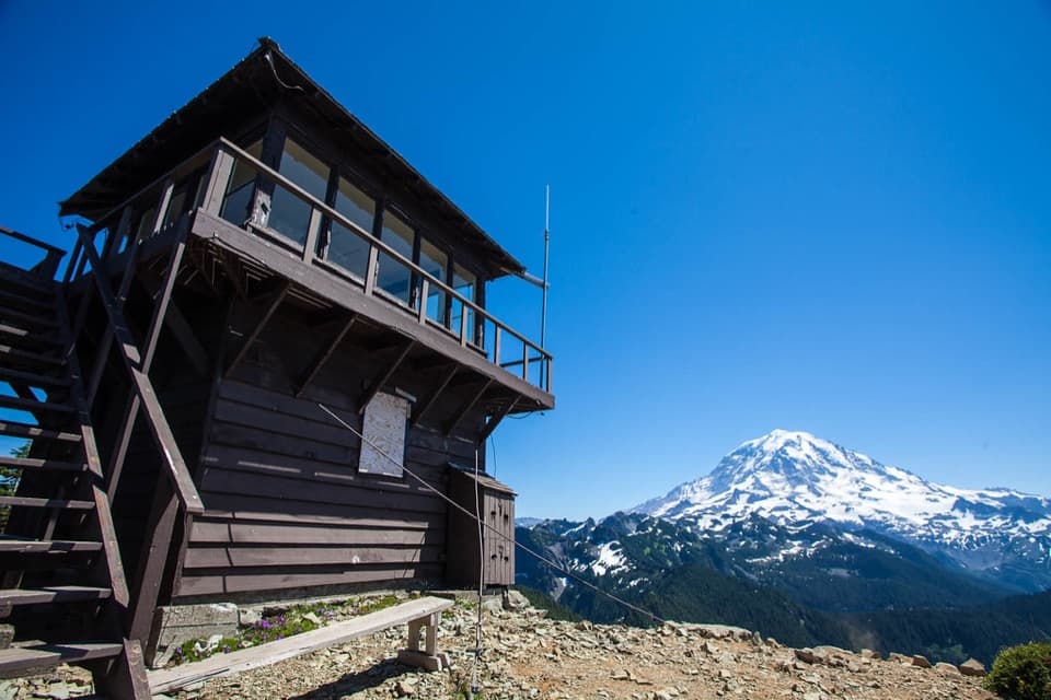 ModerateTolmie Peak Trail6.5 mi · 3.5 hr · 0.1 mi awayA 1933 fire lookout frames Eunice Lake and Mount Rainier.
 ModerateIpsut Pass from Mowich Lake2.8 mi · 1.3 hr · 0.1 mi awayA short Wonderland Trail climb to a ridge notch above Mowich Lake.
 ChallengingGolden Lakes and Sunset Park Trail18.8 mi · 10 hr · 0.1 mi awayA strenuous out-and-back to a lake cluster and a 1922 patrol cabin.
 ModeratePaul Peak Trail6.2 mi · 4.5 hr · 2.1 mi awayA forested descent to Rainier views, then a long climb back.
 ChallengingLake James Trail25.9 mi · 14 hr · 4.9 mi awayA long backcountry climb through Windy Gap to a tucked-away lake.
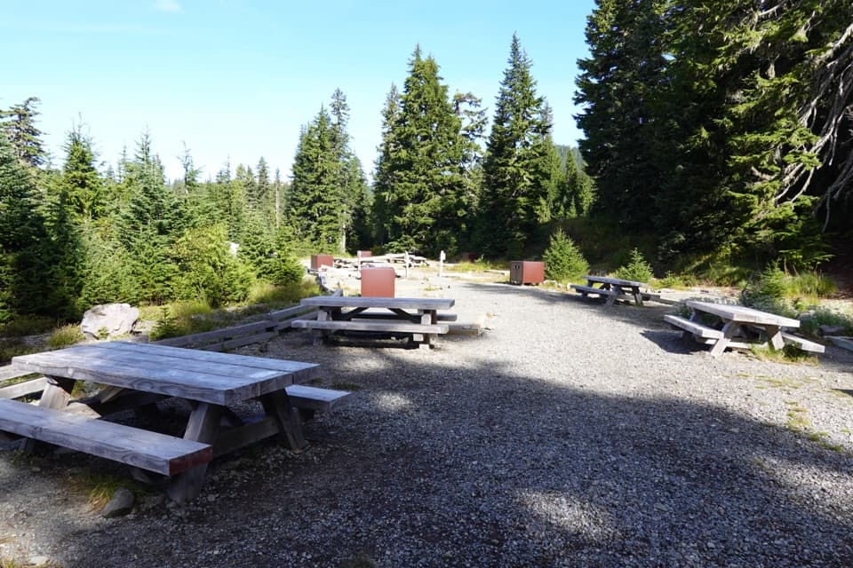 Campground · At the trailheadMowich Lake CampgroundPrimitive lake camp, with Spray Park and Tolmie Peak nearby.
 Sight · 0.1 mi awayMowich LakeA wooded island, clear water, and trails into the quiet corner.
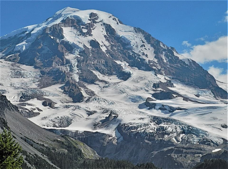 Sight · 1.2 mi awayEagle Cliff ViewpointFirst big Rainier-and-glacier view on the Spray Park trail.
 Sight · 1.6 mi awaySpray FallsA 354-foot veil spills over lava into a boulder-filled gorge.
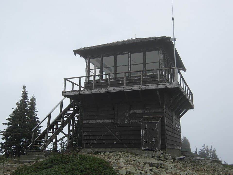 Sight · 1.9 mi awayTolmie Peak Fire LookoutRainier rises above Eunice Lake from this historic lookout's rocky perch.
 Sight · 3 mi awayIpsut FallsA two-tier waterfall at the end of a long forest approach.
 Campground · 3.4 mi awayIpsut Creek CampgroundA backcountry camp that takes a 19-mile hike from Sunrise.
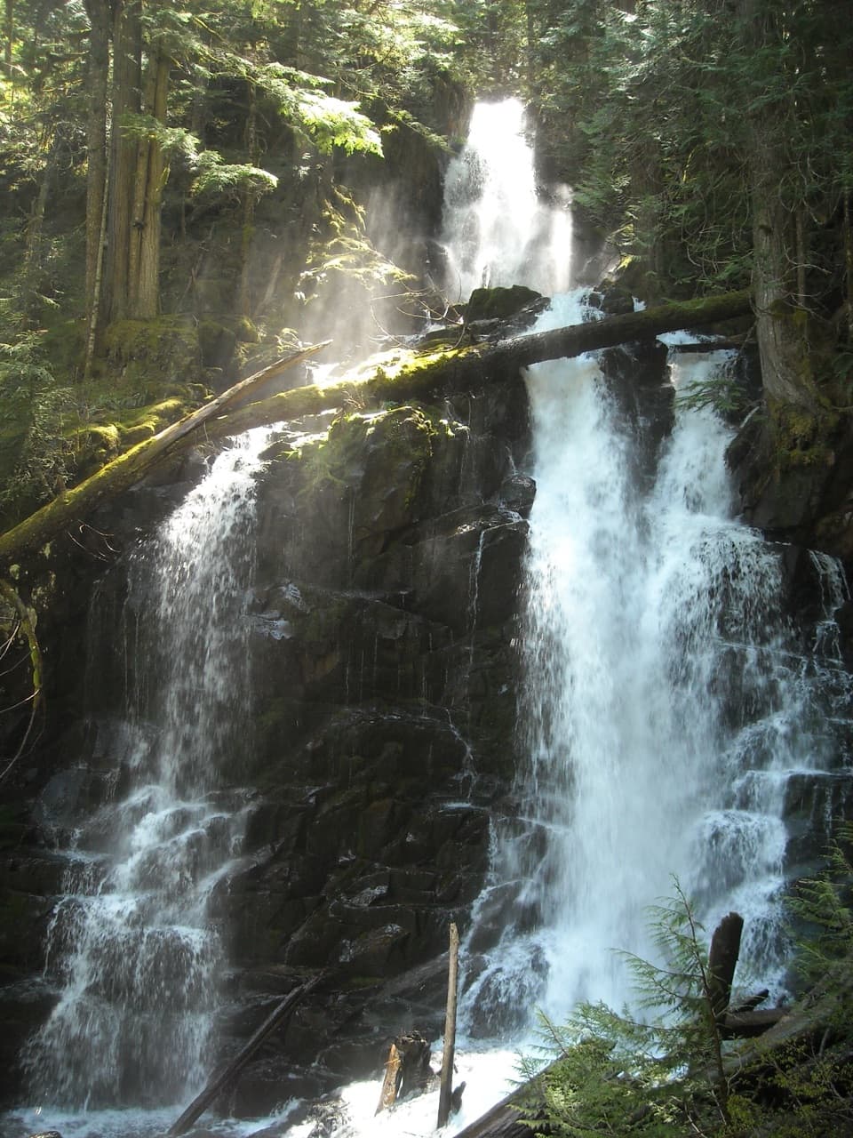 Sight · 3.6 mi awayRanger FallsThree tiers of falling water reward a long Green Lake walk.
Parkwolf’s Mount Rainier ranking

The audio tour guide for the drive, plus offline maps, trails, and wildlife heatmaps for when the signal drops.




