
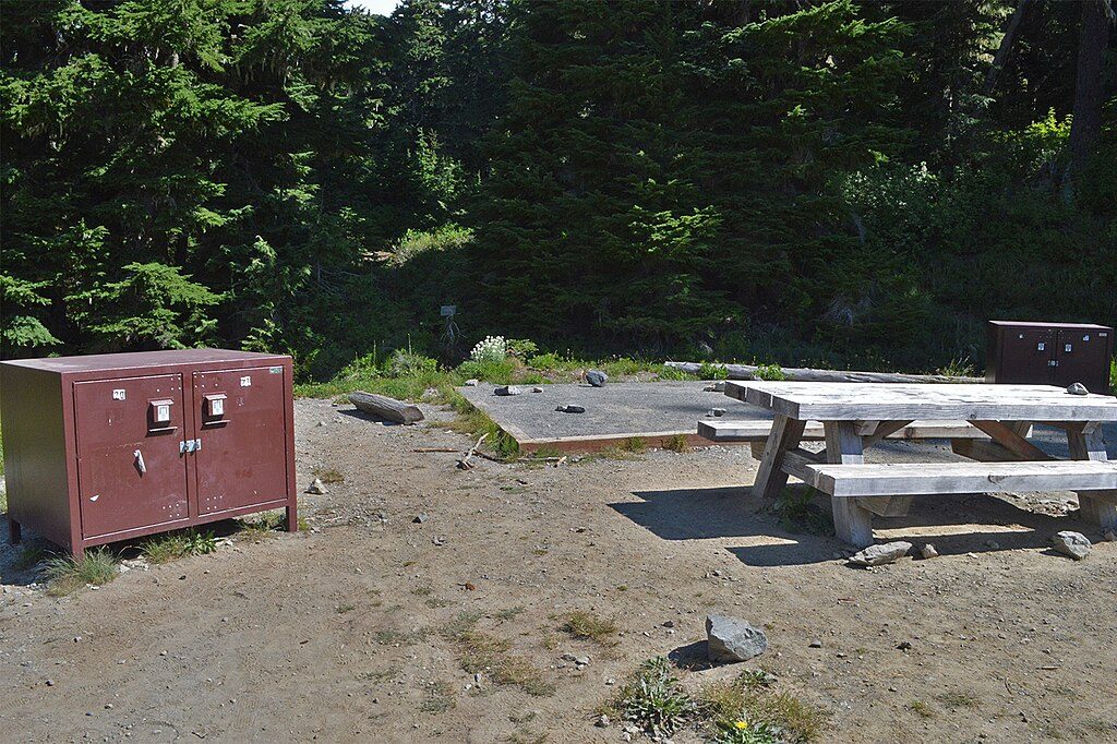
Place · 0.1 mi away
Moderate
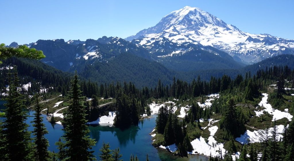
This is one of Mount Rainier’s classic day hikes for a reason: a historic fire lookout perched above a sapphire alpine lake with the volcano filling the skyline. Expect a moderately challenging out-and-back with steady climbing, big payoffs, and a touch of PNW grit. Total distance is about 6.5 miles round trip, with roughly 1,500–1,650 feet of elevation gain. The high point is the Tolmie Peak Fire Lookout around 5,900 feet.
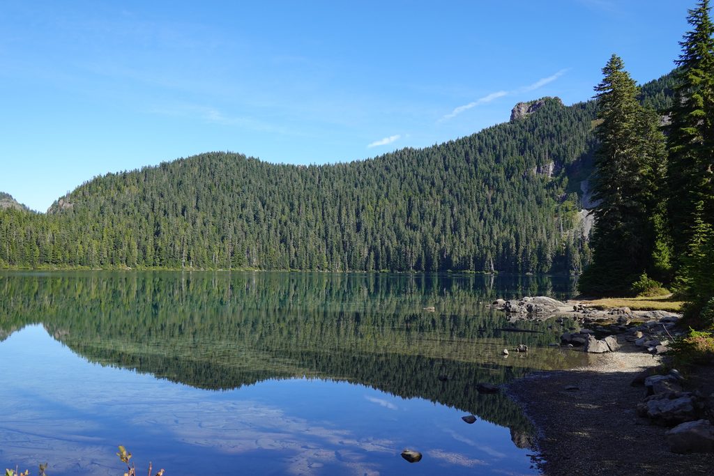
Start at Mowich Lake in the park’s remote northwest corner. The trail can be confusing at first—look for the “Wonderland Tr.” sign across from the campground bathroom; that’s your way toward Eunice Lake. You’ll skirt forest and lake views before climbing through subalpine meadows. Eunice Lake appears first—glassy blue beneath steep slopes and firs—then a final set of longer switchbacks carries you to the lookout and the big reveal: Rainier towering over the lake and the Carbon River valley. Some hikers continue past the lookout along a rougher, more exposed path to the mountain’s true high point; it’s optional and scrappier underfoot.
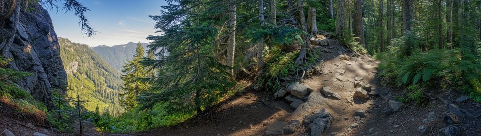
The tread is natural (dirt with rocky/rooty sections), generally well maintained, and never technical before the lookout. You’ll get a great mix of forest shade, open meadows, and ridge views. In summer, wildflowers pop; deer, marmots, and birds are common cameos. On clear days, the panorama stretches well beyond Rainier. On buggy days, the mosquitoes around lakes will keep you humbled—repellent isn’t optional here.
Aim for late June through October, when the unpaved Mowich Lake Road is snow-free and trail meadows are melted out. Summer brings wildflowers and the most reliable views—plus crowds on weekends—so go early or on weekdays for parking and softer light. Early fall can be magic: crisp air, fewer bugs, and long sightlines. Winter and shoulder seasons are a different beast; the road typically closes due to snow, adding a very long approach that most day hikers skip.
No pets on park trails. This is a day hike—no special hiking permit required, though standard park entry fees apply. Stay on trail to protect fragile meadows. Expect mosquitoes in season, variable weather at elevation, and a steeper final mile with sustained switchbacks. If you push past the lookout toward the true summit, footing becomes rougher and more exposed—decide based on conditions and comfort.
If you want the definitive “Rainier over a blue alpine lake” view plus a dash of park history, this is your hike. It’s popular for good reason and still feels wilder than the marquee areas at Paradise or Sunrise.
Park at Mowich Lake near the campground/ranger area; the trail starts across from the campground bathroom at a sign marked “Wonderland Tr.” The final approach road is gravel with potholes—arrive early for a spot.
Seasonal snow gates close Mowich Lake Road, so access is summer/fall dependent. Expect mosquitoes near lakes, no potable water, and steeper switchbacks before the lookout. Beyond the lookout the path is rougher and exposed; no camping at Eunice Lake or Tolmie Peak.
Place · 0.1 mi away
Place · 0.4 mi away
Place · 1 mi away
Place · 1.6 mi away
Moderate · 0 mi away
Challenging · 0 mi away
Moderate · 0 mi away
Challenging · 0 mi away

Parkwolf Tour Guide
