
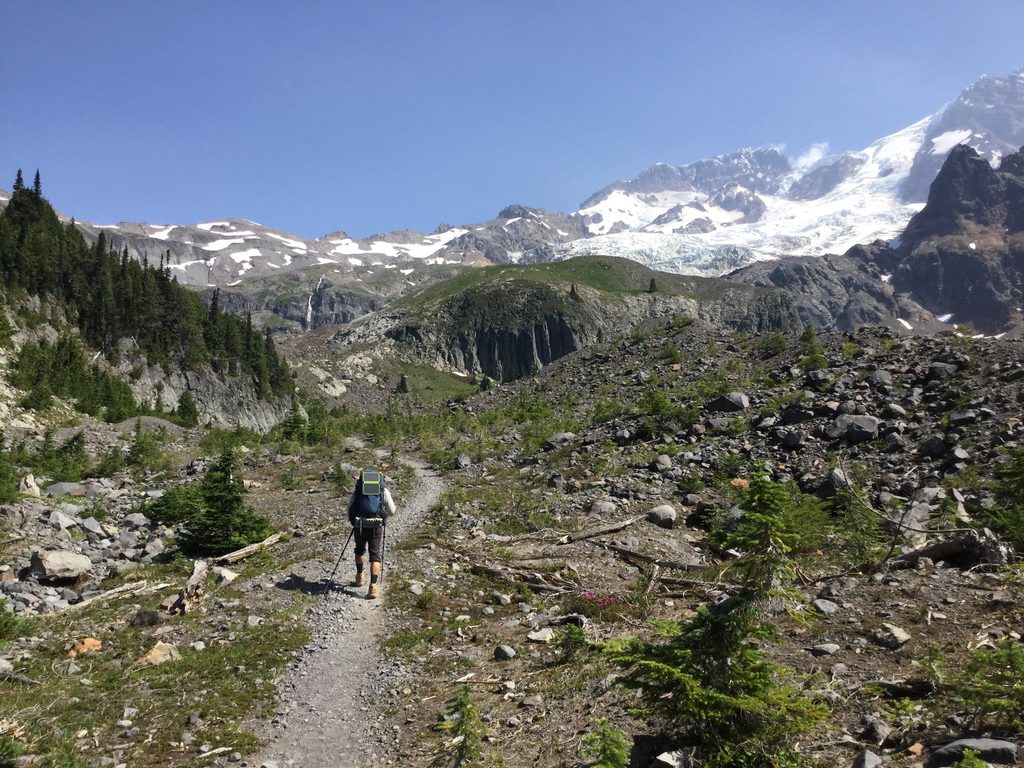
Place · 0.3 mi away
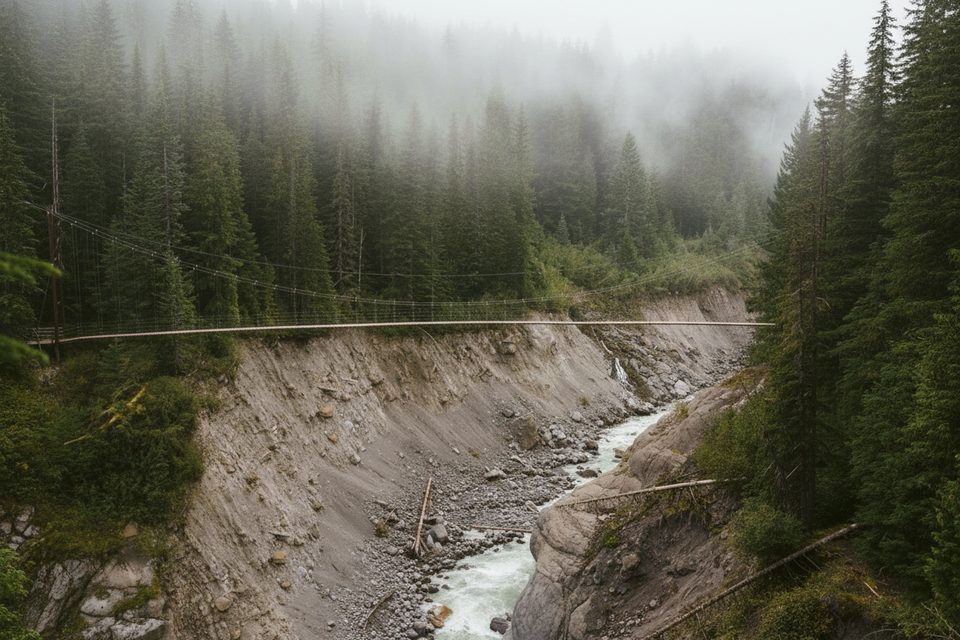
High, narrow, and a little bit wild, the Tahoma Creek Suspension Bridge spans more than 200 feet and hangs roughly 80+ feet above the raw, braided channel of Tahoma Creek. It’s a classic single-file suspension span on the Wonderland Trail—famous for its airy sway and big views into a landscape constantly rearranged by floods and debris flows.
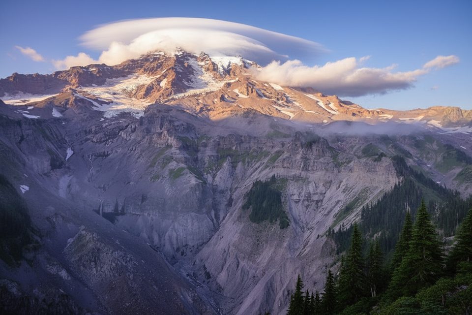
From the bridge you peer straight down into the creek’s gravel bars, toppled trees, and shifting braids, with steep valley walls and glacier-clad slopes framing the scene. The bridge itself is as photogenic as the setting—expect dramatic angles and a real sense of exposure.
Reaching the bridge is part of the adventure. The approach travels through the Tahoma Creek drainage on routes that are not maintained and have been decommissioned for years due to geohazard risk. Expect washouts, downed trees, and sections where you may need to drop into the creek bed to make progress. One representative guide lists the outing at roughly 6.3 miles; your mileage will vary with route-finding. A bike-and-hike via the closed Westside Road is feasible to shorten the approach. Pets aren’t permitted.
This drainage is notorious for floods, debris flows, and shifting terrain. The route is officially unmaintained, and the Park discourages travel here. Conditions change year to year—and storm to storm—so come prepared to navigate, turn around if needed, and be fully self-reliant. On the bridge itself, plan to cross one person at a time.
The most reliable window is summer—roughly June through September—when snowmelt tapers and the route is more passable. Go on a stable weather day, avoid the area after heavy rain, and aim for early or late light if you’re shooting photos. Weekdays are best for solitude (though this destination is rarely crowded).
None. No restrooms, water, parking, or tables anywhere near the bridge. The nearest facilities are many miles away in front-country areas.
For experienced, prepared hikers, this is a memorable, high-adrenaline highlight of the Wonderland Trail. If you’re looking for an easy family stroll, pick something else—this one’s about commitment, navigation, and comfort with exposure.
Place · 0.3 mi away
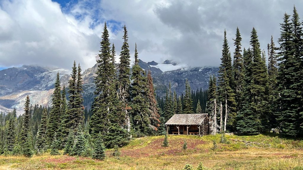
Place · 0.8 mi away
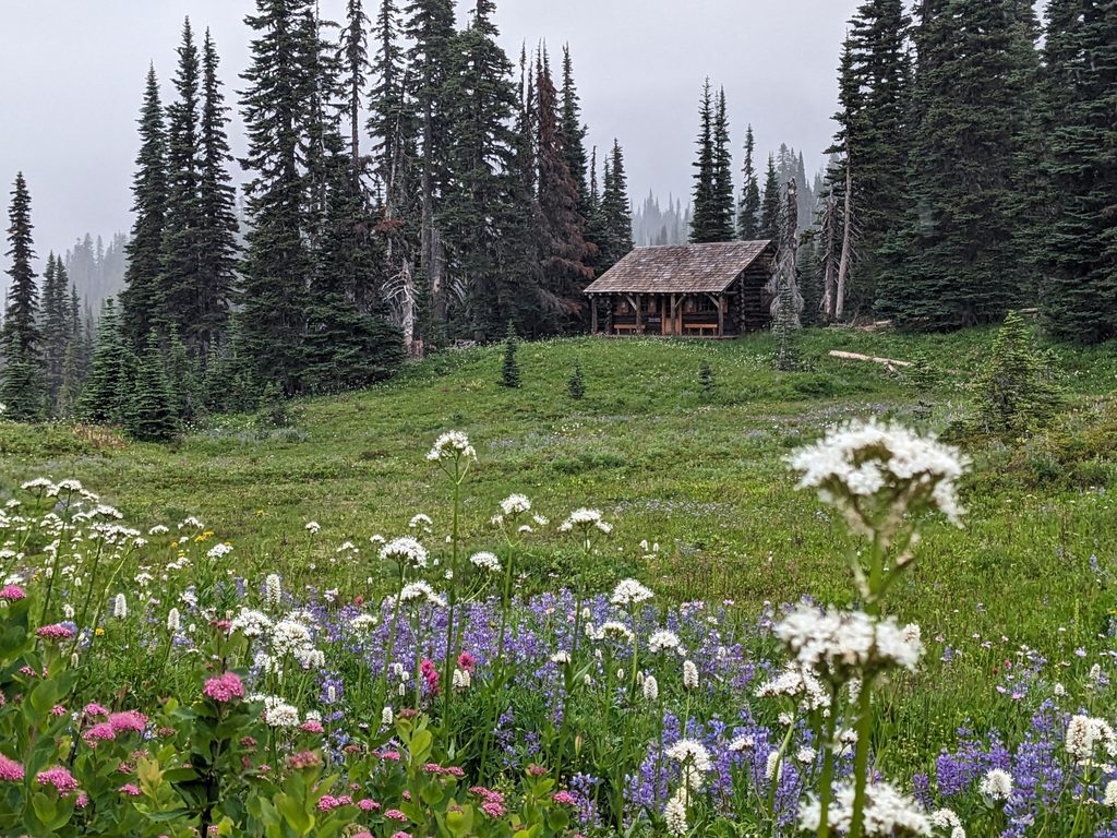
Place · 1 mi away
Place · 1.8 mi away
Moderate · 2.4 mi away
Challenging · 2.4 mi away
Challenging · 3.1 mi away
Challenging · 3.1 mi away

Parkwolf Tour Guide
