
Place · 2.2 mi away
Challenging
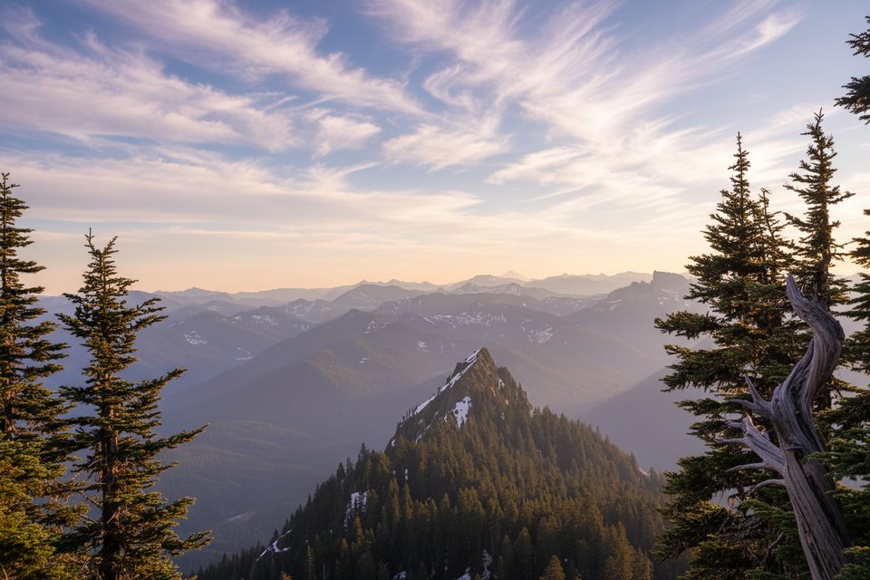
This is the Boundary Trail segment reached from the Carbon River entrance—an old ranger patrol route that still feels wild. It starts with a short warm‑up on the Rain Forest Nature Trail, then the real climbing begins. Expect a quiet, mossy, temperate rainforest climb with history underfoot rather than big on-trail vistas.
It’s about 6.0 miles round-trip from the Carbon River entrance with roughly 2,800 feet of gain, hiked as an out‑and‑back. Plan on around 4 hours for most hikers. The path leaves the Rain Forest Nature Trail and grinds uphill to a junction near the ridge by the Florence Peak Trail. If you’re chasing views of Rainier itself, you’ll find better payoffs on summit spurs (like Florence Peak) beyond the Boundary Trail proper.
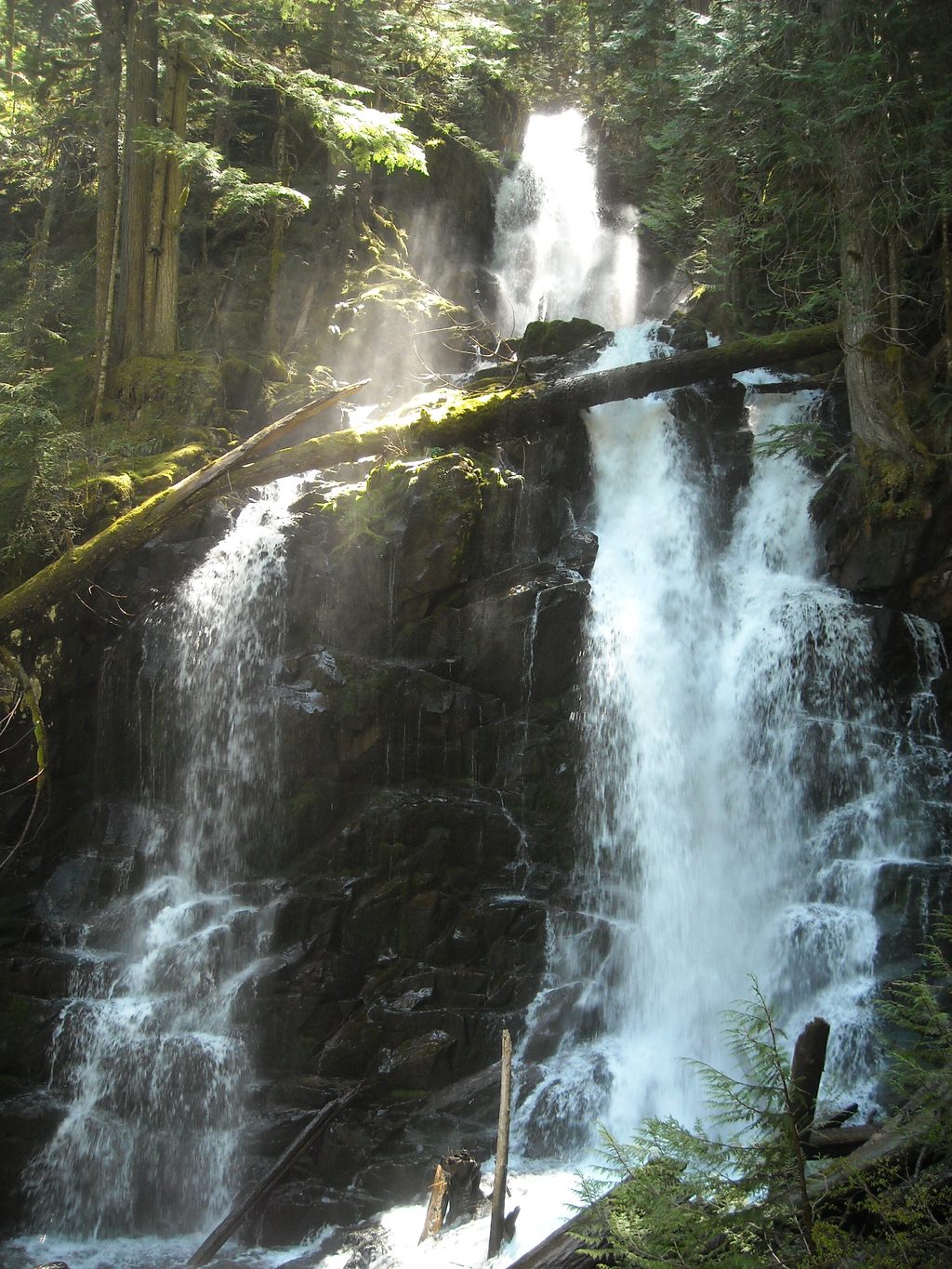
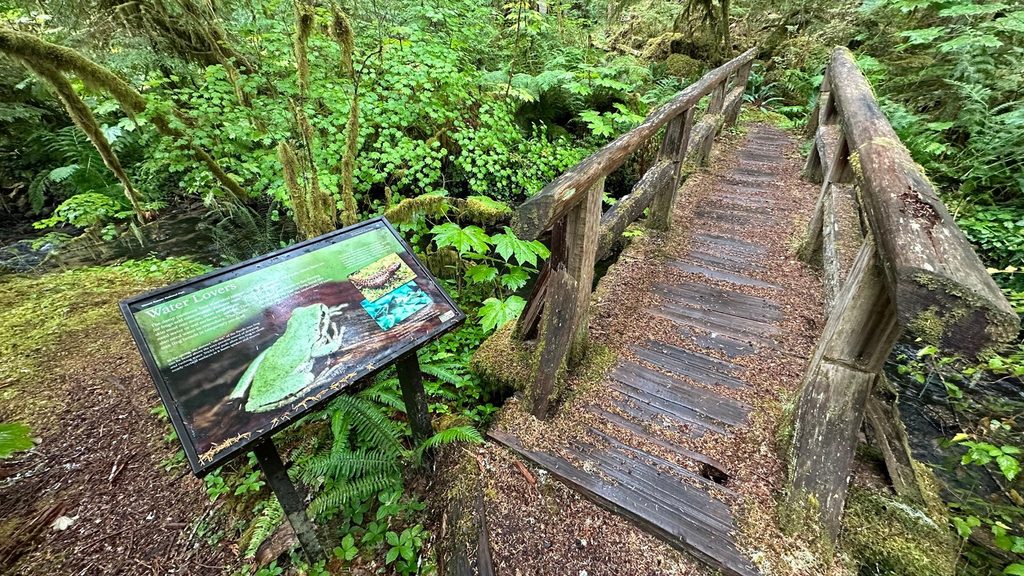
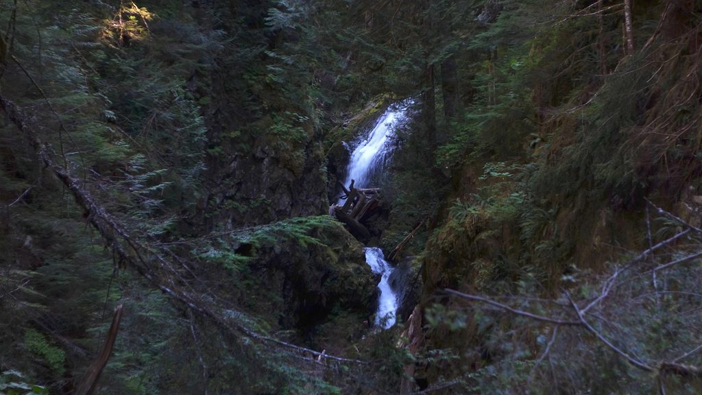
The west-side rainforest steals the show: old-growth cedar and hemlock draped in moss, slick boardwalk remnants, and a lush understory. There’s a small mossy cascade early on and occasional filtered views higher up, but this hike is about atmosphere—shade, ferns, and the steady quiet of the Carbon River valley—more than panoramas.
Make no mistake: it’s steep and sustained. Sections of old boardwalk can be damaged or slippery, and windfall or brushy segments are possible. Signage can be sparse, and parts of the historic route elsewhere in the park have faded, so bring a map or GPS and be comfortable staying found, especially if snow lingers.
This low-elevation corner often works most of the year. Spring and fall bring cool temps and fewer people; summer offers the driest footing (and bugs). Winter can turn this into a solid snowshoe objective for experienced parties headed toward Alki Crest or Florence Peak—only if you have the skills and conditions are right. After storms, expect downed trees and mud.
Choose this if you crave a quiet, historic, rainforest climb and don’t mind a stout grade with limited in-trail views. If you want instant vistas or a fully manicured path, pick a different Rainier classic—or tack on Florence Peak for the payoff.
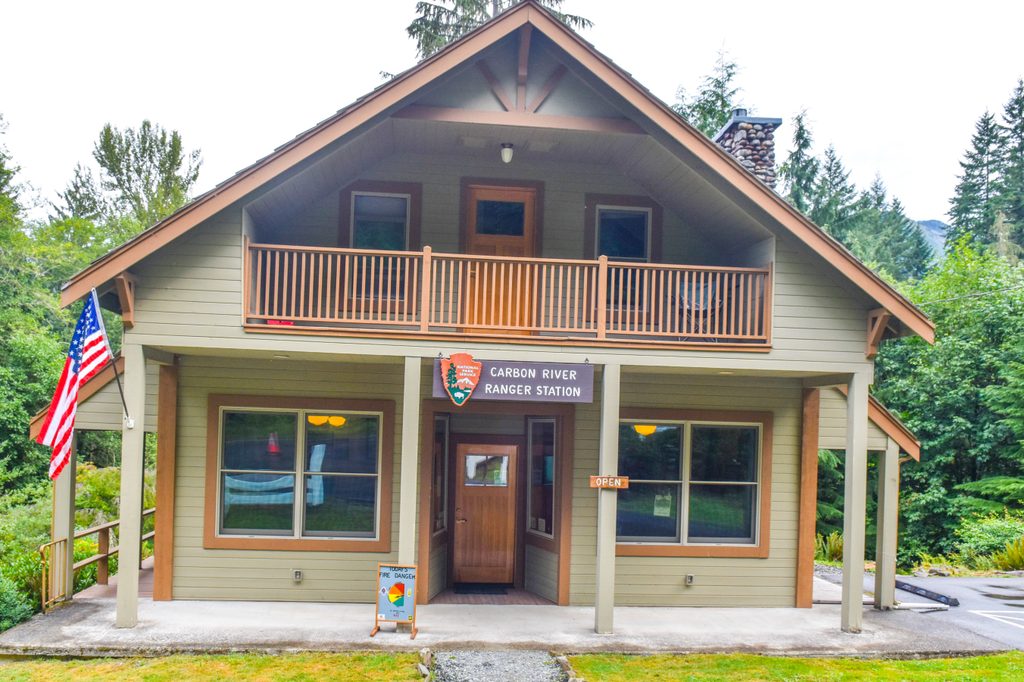
Park at the Carbon River entrance near the Carbon River Ranger Station, then walk the short Rain Forest Nature Trail to the signed Boundary Trail turnoff.
Steep, sustained climb with slippery, damaged boardwalks; expect blowdowns and brushy sections. Signage is limited—bring map/GPS, especially in snow. Winter conditions demand snow travel skills. No pets on park trails.
Place · 2.2 mi away
Place · 2.9 mi away
Place · 3 mi away
Place · 3.1 mi away
Easy · 0 mi away
Challenging · 0 mi away
Easy · 0 mi away
Easy · 0 mi away

Parkwolf Tour Guide
