
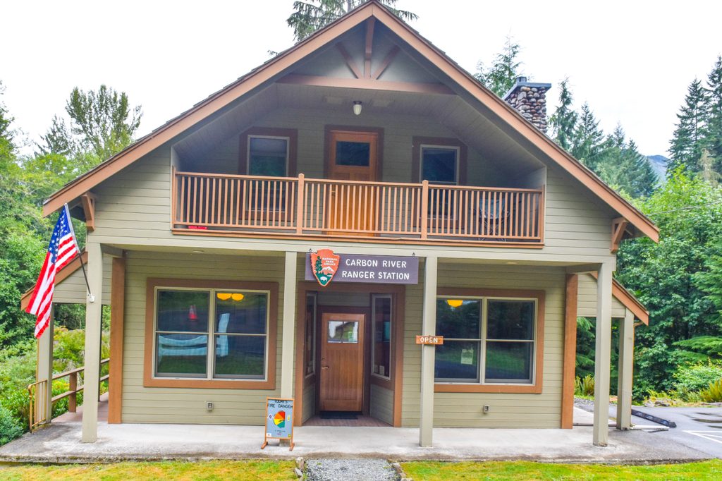
Place · 2.2 mi away
Easy
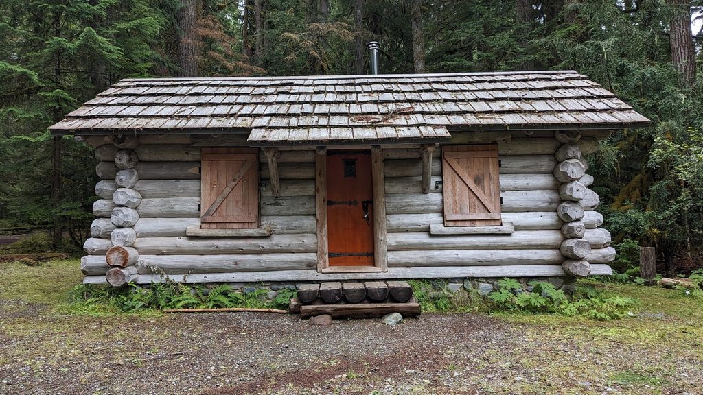
This is the mellow, mossy side of Mount Rainier. The Ipsut Creek route follows the old Carbon River Road—now the Carbon River Trail—through a true Pacific Northwest rainforest to the former Ipsut Creek Campground, with an easy add-on to Ipsut Falls. Expect a wide corridor, the constant hush of the Carbon River, and towering cedar, hemlock, and Douglas-fir draped in moss. Views are limited; you’re here for the green, the water, and the quiet.
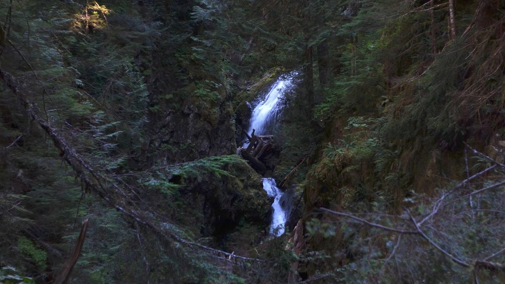
From the Carbon River Entrance to Ipsut Creek Campground is about 5 miles one way (roughly 10 miles total out-and-back), with only a few hundred feet of total elevation gain. Most of the effort is in the mileage, not the grade. Day hikers typically take 4.5–6 hours round trip, depending on pace and stops. A short 0.2-mile spur beyond the campground leads to Ipsut Falls.
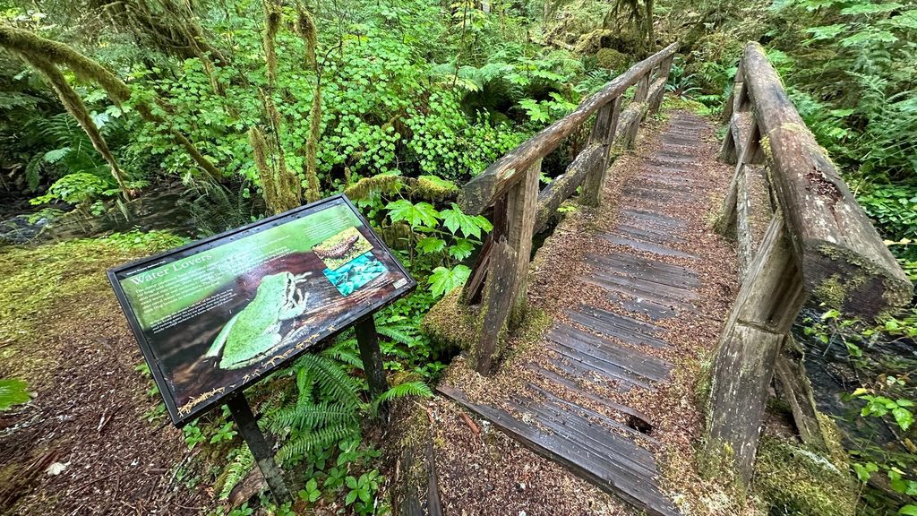
This is classic inland temperate rainforest: thick understory of ferns, mosses, and fungi, with frequent glimpses and the steady sound of the glacier-fed Carbon River. The water often runs milky with fine silt, a telltale sign of its glacial origin. The old roadbed makes for an easy stride, but do expect occasional rougher stretches, small side-creek crossings on wood footlogs, and signs of past washouts that remind you how dynamic this valley can be.
You can bike the Carbon River Trail to Ipsut Creek Campground, but not beyond it or onto side trails. The campground is a designated backcountry site—overnight stays require a wilderness permit. Pets are not permitted on this trail. The route is wide and gently graded but is not ADA accessible due to washouts, uneven tread, and narrow, sometimes slick bridges.
Late spring through fall is the sweet spot. Snow is rare at this low elevation, but spring can be muddy and the valley is wet year-round. Summer usually brings the driest footing and the most straightforward creek crossings. In winter, it’s doable for those prepared for cold, wet conditions—just be conservative: side streams and river-adjacent sections can become hazardous after heavy rain or snowmelt. Weekdays and shoulder seasons deliver the most solitude.
Start at the Carbon River Entrance; the road beyond is closed to vehicles, so begin your hike or bike from the entrance area.
Year-round wet conditions mean slick wood bridges and muddy tread; side creeks and river-adjacent sections can be hazardous after heavy rain or snowmelt. Limited cell service. Bikes not allowed beyond the campground; pets not permitted on this trail.
Place · 2.2 mi away
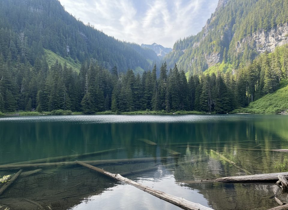
Place · 3 mi away
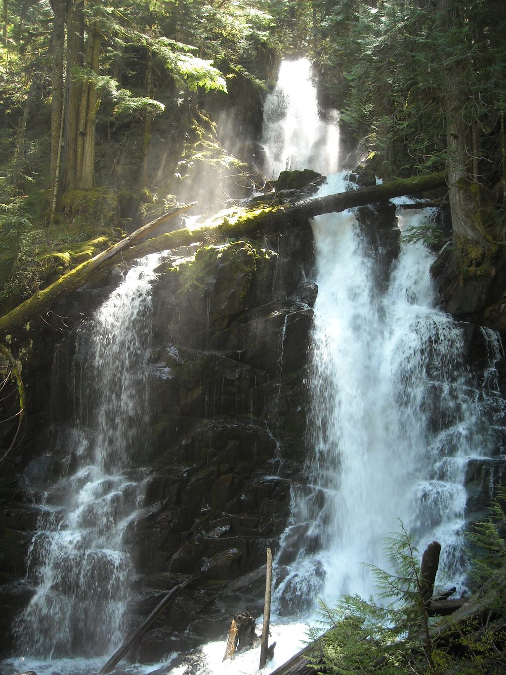
Place · 3 mi away
Place · 3.1 mi away
Easy · 0 mi away
Easy · 0 mi away
Challenging · 0 mi away
Challenging · 0 mi away

Parkwolf Tour Guide
