
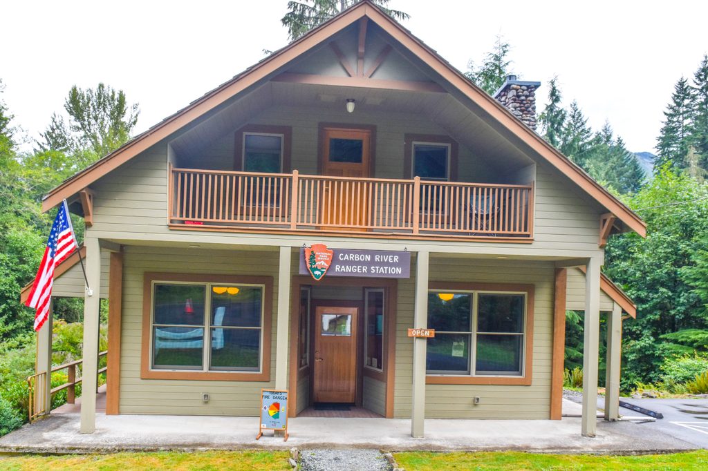
Place · 2.2 mi away
Challenging
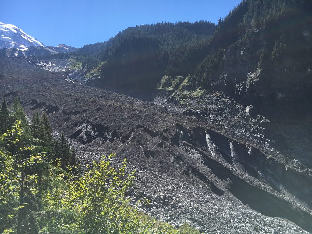
This is a long, rewarding out-and-back to the toe of Carbon Glacier on Mount Rainier’s north side. Expect about 17 miles round trip (total) with roughly 1,640–2,000 feet of gain, and plan on an all‑day effort (around 8 hours for strong hikers). The first 5 miles follow the decommissioned Carbon River Road corridor from the Carbon River entrance to Ipsut Creek Campground; it’s mostly flat, fast, and open to bikes. From Ipsut, you’ll continue on the Wonderland Trail up the Carbon River to dramatic glacier and mountain views.
Carbon Glacier is a geologic heavyweight—the thickest, longest, and lowest‑elevation glacier in the Lower 48—so you’re getting a rare, close look at big ice without technical travel. The approach threads lush temperate rainforest—ferns, moss-draped giants, and a cool, damp ambiance—before trading flat road-grade for rugged singletrack that climbs toward the glacier and the north face of Rainier. A suspension bridge over the roaring Carbon River amps up the drama, and short detours like Ipsut Falls add variety early on.
The challenge is the mileage, not technicality. The lower 5 miles are gentle; the upper trail is steeper and rockier. Plan pacing and daylight carefully, especially if you linger at viewpoints. Many hikers treat this as a big day; others break it up with an overnight at designated wilderness camps.
Black bears and deer are possible along the corridor. Keep food secure, give wildlife space, and practice bear safety. The Carbon River frequently shifts course; bridges and footlogs can change from season to season. Expect wet, muddy tread in the rainforest and be prepared for spray and wind near the glacier.
Late spring through early fall is the sweet spot once seasonal snow melts out of the upper trail and bridges are in place. Early season tends to be wetter and muddier; late season often brings clearer skies and more stable crossings. Start at first light for cooler temps, fewer people on the road section, and softer photography light on the glacier and north face. Winter travel here is for experienced parties only due to snow and hazardous river dynamics.
If you’re up for the mileage—and especially if you can bike the approach—this is a standout north-side Rainier day, delivering rainforest ambiance, a thrilling river crossing, and a rare, close encounter with one of the most significant glaciers in the country.
Park at the Carbon River Road Trailhead (Hikers and Bicycles Only) at the Carbon River entrance. No vehicle access beyond the gate; start on the roadbed toward Ipsut Creek.
Dynamic river crossings (log and suspension bridges), long mileage with limited bailout options, frequent mud and spray, and active bear country. Check current trail and backcountry conditions before you go and carry bear spray.
Place · 2.2 mi away
Place · 2.9 mi away
Place · 3 mi away
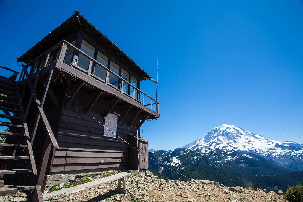
Place · 3.1 mi away
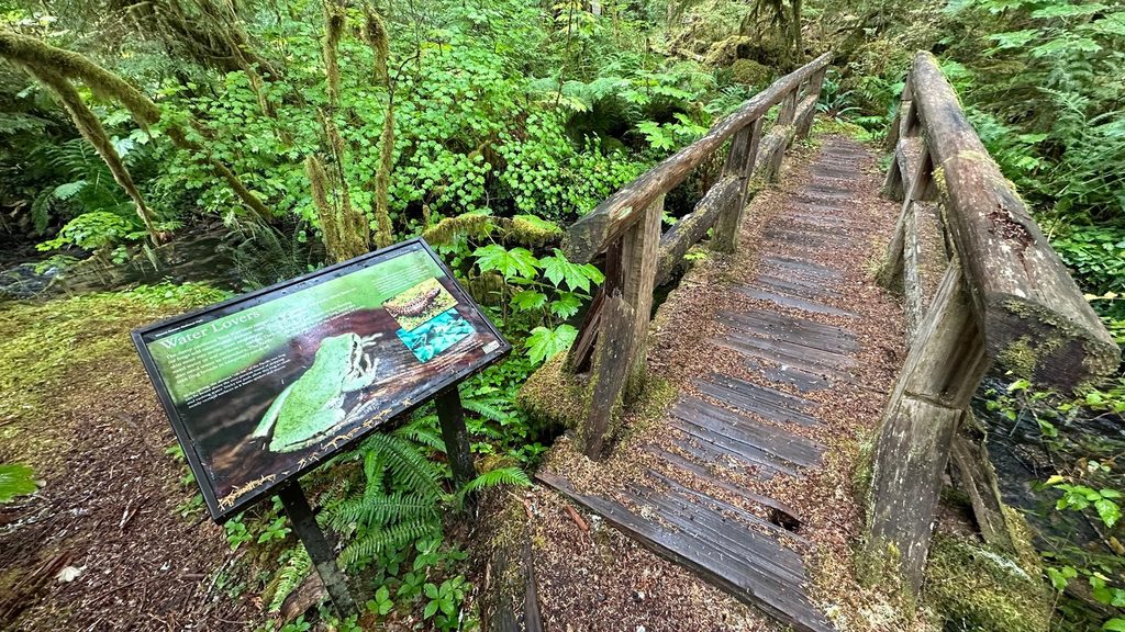
Easy · 0 mi away
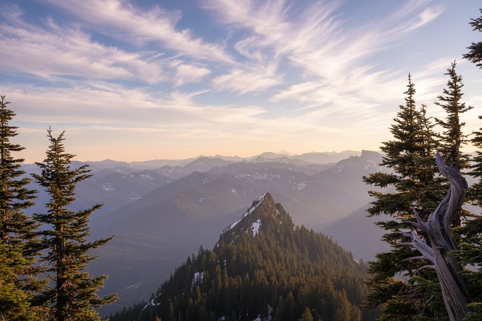
Challenging · 0 mi away
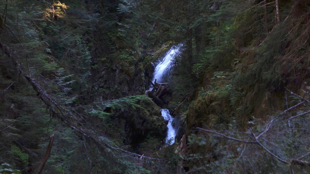
Easy · 0 mi away
Easy · 0 mi away

Parkwolf Tour Guide
