Pros & cons
PROS
- Photogenic multi-tiered cascade with a close viewpoint
- Bike the Carbon River Road to shorten the approach
- Immersive old-growth forest setting
CONS
- No amenities at the falls
- Trail can be muddy with some prickly vegetation and narrow sections
Overview
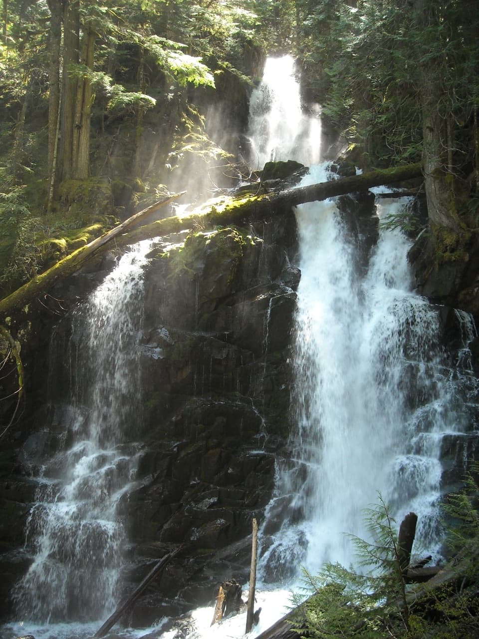
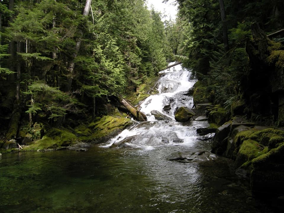
Ranger Falls is a dramatic, multi-part waterfall along Ranger Creek in the Carbon River corridor, reached via the Green Lake Trail. It’s a lush, rainforest-style walk where the payoff is a thundering cascade that splits and fans before rejoining—especially impressive when snowmelt swells the creek.
What You’ll See
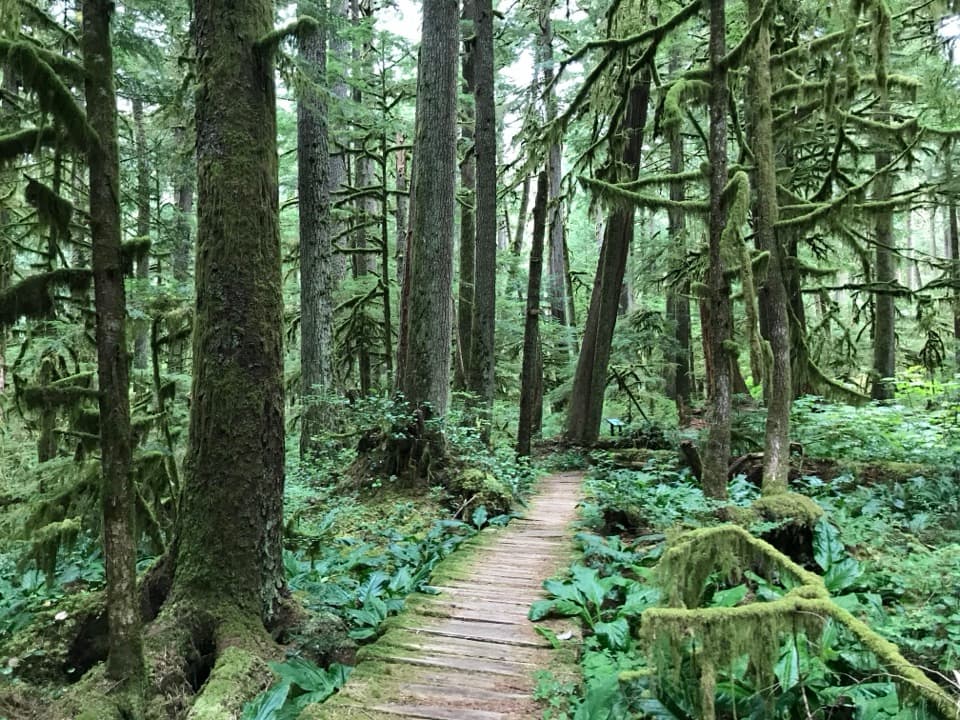
Expect moss-draped, old-growth fir and cedar, thick understory, and a cool, shaded ravine where the falls drop in multiple segments (totaling roughly 172 feet, with the tallest single drop about 73 feet). The viewpoint is right off the trail, close enough to feel mist on a good flow day.
Getting There
Travel up the Carbon River Road corridor (human-powered). Bike or hike about 3.2 miles to the Green Lake Trail, then walk roughly 1 mile to the signed falls viewpoint. Bikes are allowed on the Carbon River Road segment but not on the Green Lake Trail. Many hikers continue past the falls to Green Lake as a longer day.
Trail Experience
Much of the Carbon River approach is in dense forest, with the river often hidden by trees; views open up near the Green Lake junction. The Green Lake Trail climbs via switchbacks with a few reprieves. Surfaces can be wet and muddy after rain.
Wildlife & Safety
This is true backcountry forest: bears and mountain lions live here, so make noise, keep food secure, and stay alert. Watch for prickly plants like Devil’s Walking Stick near the trail. Expect little or no cell service.
Best Time to Visit
Late spring through early summer offers the most dramatic water flow from snowmelt. The forest stays beautiful year-round, but wet weather makes the trail slick—plan footwear accordingly.
Photography Tips
Overcast days are your friend for silky water and saturated greens. A short shutter or burst mode helps capture the multi-tiered fan of the falls without blown highlights.
Where it is
46.9840, -121.8540Tips for Ranger Falls
- 01Bike the Carbon River Road, then lock up and hike the final mile.
- 02Bikes aren’t allowed on the Green Lake Trail—road segment only.
- 03Expect mud; trekking poles help on the switchbacks and slick spots.
- 04Late spring snowmelt brings the most impressive flow at the falls.
- 05Carry all water and snacks; there are no services and little to no cell signal.
Amenities
Near Ranger Falls
All places →All trails →
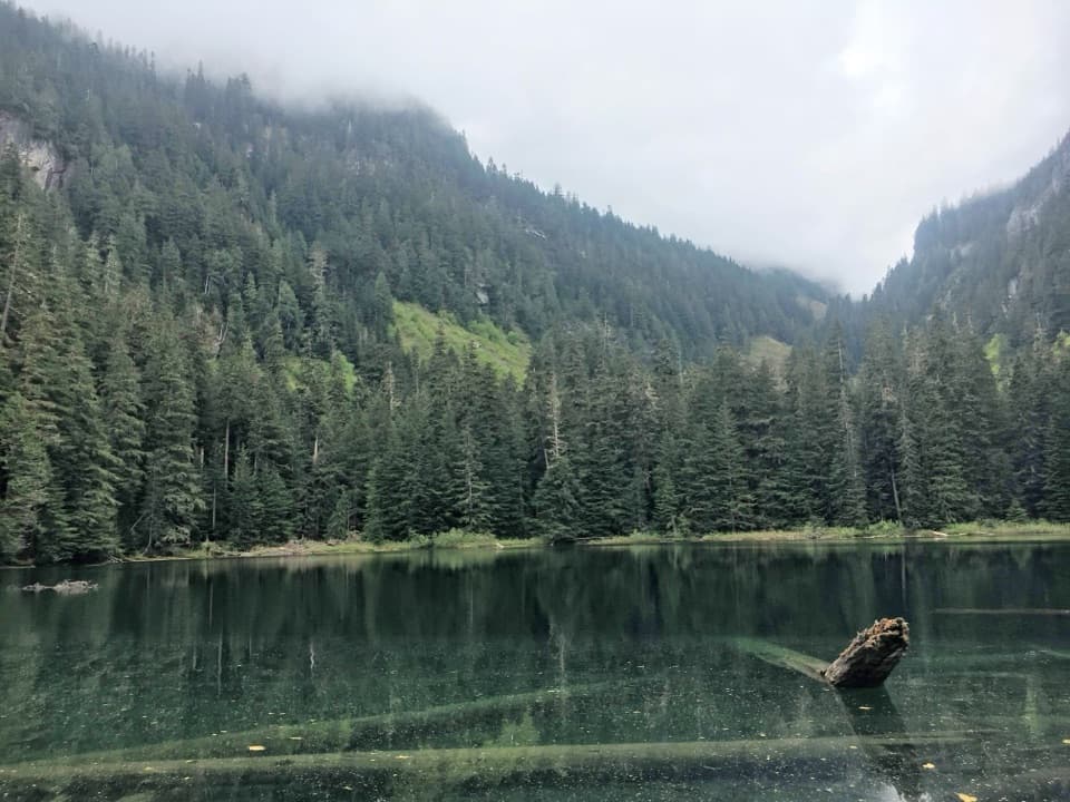
0.5 mi awayGreen LakeEmerald forest lake after Ranger Falls on a longer, quieter hike
0.6 mi awayGreen Lake TrailRainforest stroll to Ranger Falls and a jade pool—bring a bikeModerate · 10 mi · 4.5 hr
0.7 mi awayChenuis Falls TrailEasy riverwalk to a roaring rainforest waterfall with a bike optionEasy · 6.4 mi · 3 hr
0.9 mi awayChenuis FallsRainforest waterfall with a seasonal river crossing adventureTrailhead · Parking
1.3 mi awayIpsut Creek CampgroundBike-in rainforest camp with rare backcountry comfortsRestroom · Picnic Table
1.3 mi awayIpsut Falls TrailLong, mellow Carbon River ramble to a quiet under the radar fallsModerate · 11.4 mi · 5 hr
1.3 mi awayIpsut Creek Patrol CabinHistoric ranger cabin tucked in the Carbon River rainforestRanger Station
3 mi awayCarbon Glacier TrailBike-then-hike to Rainier’s lowest, thickest glacier on a big day.Challenging · 17 mi · 8 hr