Pros & cons
PROS
- Gateway to the Carbon River temperate rainforest and wide road-trail
- Reliable spot for permits and on-the-ground trail conditions
CONS
- No public restrooms or picnic tables at the station
- No vehicle access beyond the Carbon River entrance
Overview
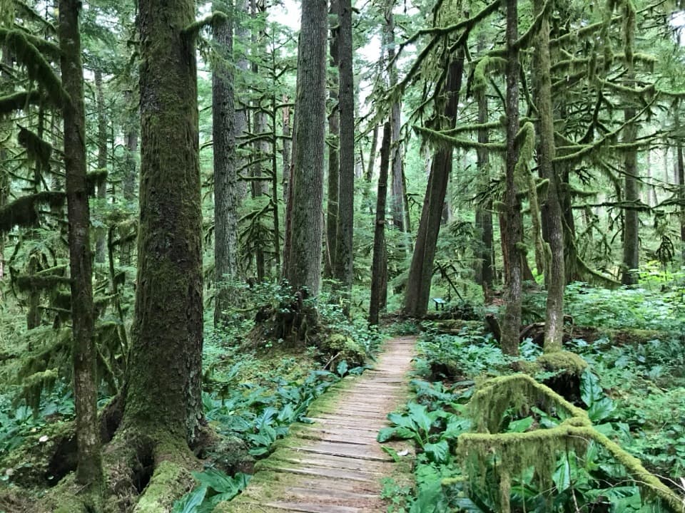
Set in a remodeled historic farmhouse along Carbon River Road, this ranger station is the low-key gateway to the park’s quiet northwest corner. It’s the launch point for exploring a rare temperate rainforest—think moss-draped cedar, hemlock, and fir—and for trips that swap windshield time for walking or biking.
What’s Unique Here
Flooding permanently closed the road past the Carbon River entrance to vehicles, turning the old Carbon River Road into a wide, gentle trail. That shift keeps this corner notably calmer than Paradise or Sunrise and makes it perfect for easy forest wandering or covering miles by bike.
What You’ll Find
When open, staff provide wilderness permits, maps, and current trail updates, and there are interpretive displays that add context to the area’s geology and history. Expect minimal facilities: parking at the station, but no public restrooms or picnic tables here (you’ll find those at the Carbon River entrance a few miles away).
Trails and Nearby Highlights
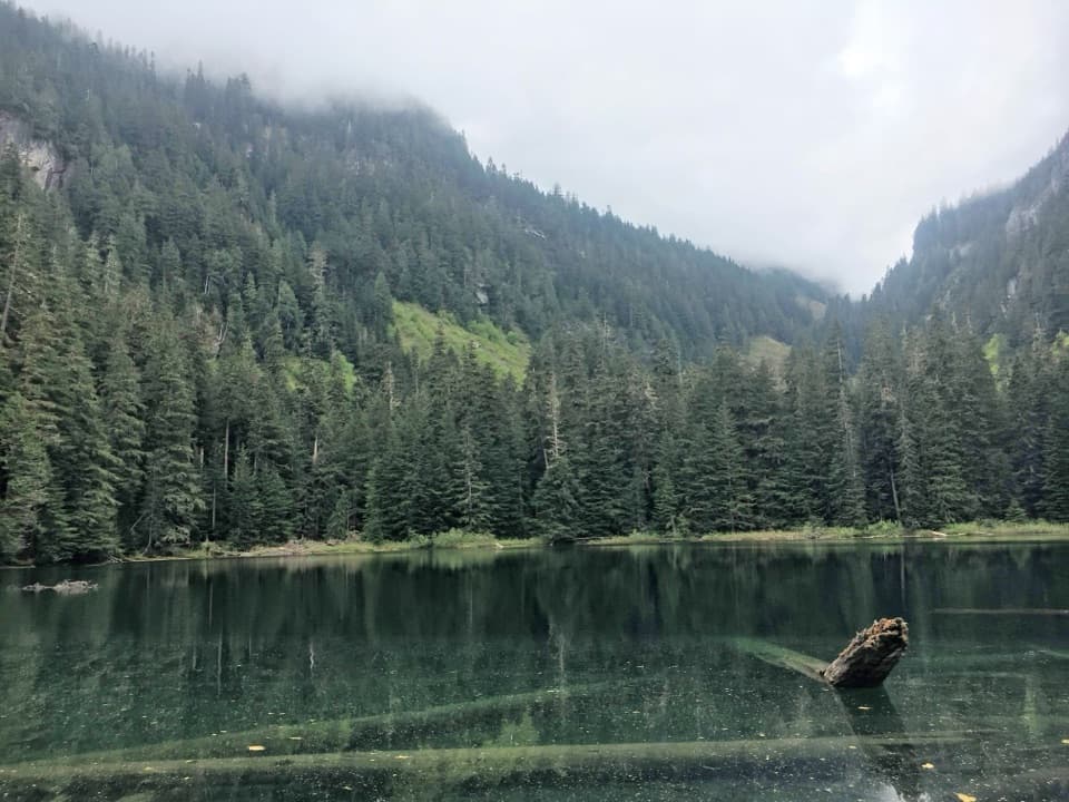
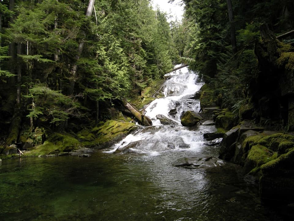
From the Carbon River corridor you can reach Green Lake, Ranger Falls, Chenuis Falls, and the Old Mine Trail. The road-turned-trail is ideal for families and cyclists looking for a mellow grade under towering old-growth.
Wildlife
This lush valley hosts songbirds and woodpeckers, with deer commonly spotted and the possibility of black bears or elk in quieter stretches. Amphibians thrive in the moist understory—keep an eye near streams and seeps.
Planning & Logistics
- The road is open to the park entrance but closed to vehicles beyond it—plan to walk or bike from there.
- This valley is famous for rain; expect damp trails year-round and occasional washouts or downed trees after storms. Check current conditions before you commit to distance.
- Services are limited: bring water, snacks, layers, and a map.
Best Time to Visit
Weekdays and early mornings deliver the most solitude. Cloudy days are a gift for photography here—the soft light makes the rainforest pop. Year-round visits can work if you pack rain gear; just verify road and trail status before you go.
Where it is
46.9871, -121.9614Tips for Carbon River Ranger Station
- 01Bring a bike to cover the long, gentle road-turned-trail efficiently.
- 02Pack rain gear and waterproof footwear—the rainforest stays wet even in summer.
- 03Check current conditions for washouts or downed trees before heading out.
- 04Carry water and snacks; facilities are limited and there’s no restroom at the station.
Amenities
Near Carbon River Ranger Station
All places →All trails →
2.2 mi awayCarbon River Road Trail to Ipsut FallsRainforest road-walk to a serene 60-foot waterfallEasy · 10 mi · 5 hr
2.2 mi awayIpsut Creek TrailLow-key rainforest cruise to a backcountry camp and waterfall.Easy · 10 mi · 5.5 hr
2.2 mi awayRainforest Loop TrailShort, lush inland rainforest sampler on the quiet Carbon River sideEasy · 0.3 mi · 30 min
2.2 mi awayBoundary TrailSteep, historic patrol route climbing from Carbon’s rainforestChallenging · 6 mi · 4 hr
4.3 mi awayTolmie Peak LookoutHistoric lookout with Rainier towering over emerald Eunice LakeTrailhead · Parking
4.5 mi awayEunice LakeSapphire alpine lake beneath Tolmie Peak, with big Rainier views
4.9 mi awayGreen LakeEmerald forest lake after Ranger Falls on a longer, quieter hike
5.1 mi awayRanger FallsLush old-growth hike to a thundering, multi-tiered cascadeScenic Viewpoint