Centennial Trail #89 in Mount Rushmore National Memorial

#7 of 8 trails in Mount Rushmore

Mount Rushmore National Memorial, SD

Centennial Trail #89

A 121-mile through-hike from Bear Butte to Wind Cave.

Photo: Wikimedia Commons
Length
121.3mi
Time
2.2days
Elev. change
2,205ft
Difficulty
Challenging
  • No dogs
  • High point 5,397 ft
Parkwolf audio tour5 stories across Mount Rushmore’s roads

Overview

About Centennial Trail #89

Why go

  • Prairie, pine forest, granite, creeks and grassland unfold across one through-route.
  • Fort Meade and Badger Hole add distinctive South Dakota history along the way.

Heads up

  • A 121-mile point-to-point trip needs a shuttle, staged camping and resupply.
  • Official distance figures differ by about ten miles from the mapped line.

Map & elevation

The route

Loading the Mount Rushmore map
Full map
Elevation3,192–5,397 ft
TrailheadBear Butte Summit (Centennial Trail north terminus)44.47586, -103.42672
Keep this map with you offline in the Parkwolf app

Plan your hike

Before you go

Parking

Use Bear Butte State Park parking for the north end; the Centennial Trail begins on the summit and requires a separate 1.85-mile Summit Trail approach. The south end is Norbeck Trailhead at Wind Cave. Arrange a point-to-point shuttle and confirm long-term parking permission with each land manager.


Safety

Free-roaming bison in Custer State Park can be dangerous; keep well back. Dogs are prohibited on the Wind Cave segment. A free self-issued permit is required in Black Elk Wilderness, and Wind Cave overnight backcountry stays require a permit. Plan water by section and treat natural sources.

1 active Mount Rushmore alert

  • ClosureHighway 16A Closure in KeystoneHighway 16A is closed at its intersection with South Dakota Highway 40 in Keystone; follow the detour.Official details
Mount Rushmore alerts
A park ranger sits on a dash-mounted phone, talking, as Parkwolf’s Tour Guide plays “Army Cutworm Moths: A Grizzly Bear Buffet” on Grand Loop Road below Dunraven Pass in Yellowstone
Parkwolf Tour GuideThe highest, rockiest slopes around here are a summer buffet for grizzly bears.

Mount Rushmore Tour Guide

Your drive to Centennial Trail #89, narrated.

Parkwolf is a GPS audio tour guide for Mount Rushmore National Memorial. As you drive, it chimes in with what’s ahead: hidden gems, upcoming stops, history, geology, and wildlife, right through your car’s speakers.

  • 5 audio storiesacross Mount Rushmore’s roads, triggered by GPS as you drive
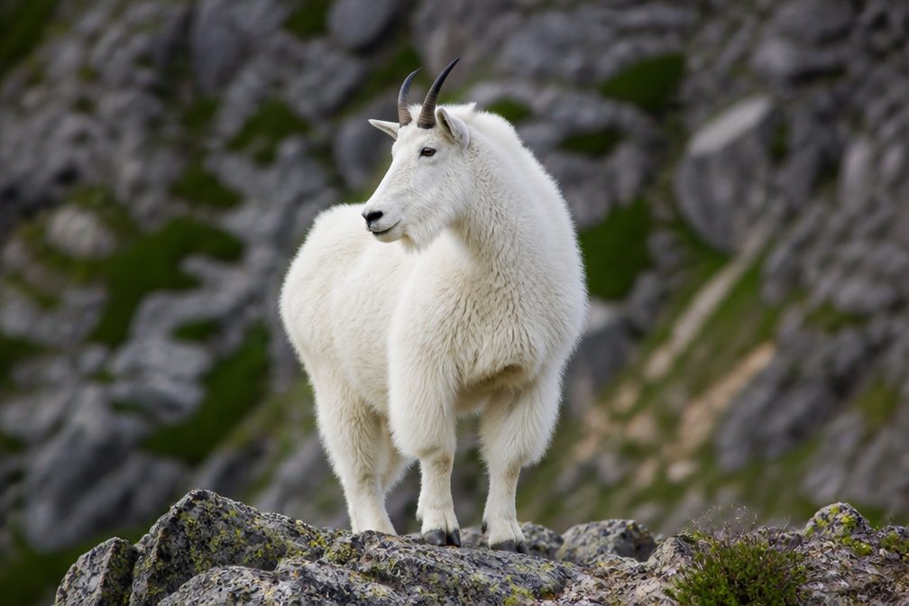
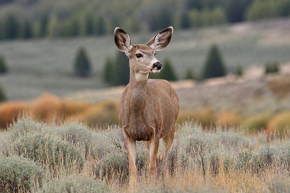
  • Wildlife heatmapsfor Mountain Goat, Mule Deer, White-tailed Deer, and 7 more
  • Works offlinemaps, 8 trails, 18 places, and audio download before you lose signal
  • CarPlay readysimple controls built for the drive
★★★★★
“We recently toured Badlands, Custer State Park, Mount Rushmore and more! We learned so much from this app as we toured each of these sites. The audio tours are worth the money.”
milesdavis11App Store review
Download Parkwolf on the App StoreGet Parkwolf on Google Play

4.7 from 8,600+ ratings

Trail guide

Hiking Centennial Trail #89

The full through-hikeCentennial Trail 89 is a 121.

Centennial Trail #89 is a 121.3-mile, point-to-point route from Bear Butte Summit to Norbeck Trailhead in Wind Cave National Park. Expect several days of hiking and backpacking: it links open prairie, pine-covered hills, granite uplands, canyons, lakes and stream valleys across several public-land units. The current connected map line measures 121.3 miles, while official overview pages still give 111 miles. The reason for the difference is not clear, so plan for the longer distance and confirm your stage map before setting out.

Plan the long haulA route estimate puts walking time at about 53 hours; calendar days depend on your pace and…

A route estimate puts walking time at about 53 hours; calendar days depend on your pace and where you can legally camp. The north end is on Bear Butte Summit. Reaching it from the state park parking area adds a separate 1.85-mile Summit Trail climb, which is not included in the Centennial distance. The south end is Norbeck Trailhead. Arrange a shuttle and confirm overnight parking at both ends and at any intermediate trailheads you plan to use. There is no food service along the route, and water access varies by section; plan resupply and treat natural water. Some campground taps are seasonal.

Bear Butte and Fort MeadeThe route begins on Bear Butte, a 4,422-foot igneous intrusion exposed as softer surrounding…

The route begins on Bear Butte, a 4,422-foot igneous intrusion exposed as softer surrounding rock wore away. It is sacred to several Indigenous tribes, so give ceremonies and religious practices room. The Fort Meade section rolls through pine-covered hills and native prairie, with views back toward Bear Butte. Interpretive signs and the Old Fort Meade Museum tell the story of the 1878 military post.

Through the central hillsThe central and southern forest sections cover roughly 29 and 38 miles.

The central and southern forest sections cover roughly 29 and 38 miles. Pine forest gives way to granite highlands, limestone canyons, creeks, lakes and reservoirs. Trail use, camping, parking and permits change across this long route, so build each stage around the land manager and access point, not just mileage. A free self-issued permit is required in Black Elk Wilderness.

Rushmore, the Needles and bison countryNear Mount Rushmore, the one-mile gravel Blackberry Trail is a separate connection between the…

Near Mount Rushmore, the one-mile gravel Blackberry Trail is a separate connection between the Centennial route and the Memorial's parking area; it is not part of the through-route or a Mount Rushmore loop. Farther south, the Centennial passes the Needles and Badger Hole, the cabin of Charles Badger Clark, South Dakota's first poet laureate. It then reaches open Custer State Park grassland used by free-roaming bison. Keep well back: they can be dangerous and unpredictable.

Wind Cave finishThe final six miles in Wind Cave National Park pass through mixed-grass prairie and ponderosa…

The final six miles in Wind Cave National Park pass through mixed-grass prairie and ponderosa forest and follow Beaver Creek to Norbeck Trailhead. Overnight backcountry camping requires a park permit, and dogs are not allowed on this segment. If you want a day walk instead, a separate 4.5-mile loop combines part of the Centennial with Highland Creek. The full through-hike earns its time by carrying you from Bear Butte prairie to creek-bottom forest, but the shuttle, resupply and changing overnight rules make it a serious trip.

Wildlife

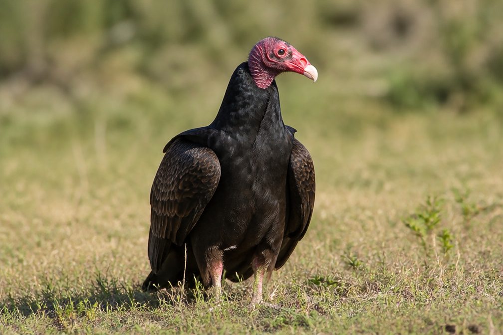
Wildlife in Mount Rushmore

All Mount Rushmore wildlife maps

Sighting maps show where each species has been reported across Mount Rushmore. Wildlife moves, so no sighting is guaranteed.

Parkwolf’s Mount Rushmore ranking

Top-rated trails in Mount Rushmore

All 8 trails
  1. 1Presidential TrailModerate · 0.6 mi
  2. 2Presidential Trail (Stair-Free Route)Easy · 0.4 mi
  3. 3Blackberry TrailModerate · 1.5 mi
  4. 4Horse Thief Lake via Blackberry and Centennial TrailModerate · 3.8 mi
  5. 5Mount Rushmore via Centennial TrailChallenging · 10.7 mi
  6. 6Willow Creek Rushmore Trail #5Moderate · 1.9 mi

Take Parkwolf to Mount Rushmore.

The audio tour guide for the drive, plus offline maps, trails, and wildlife heatmaps for when the signal drops.

4.7 from 8,600+ ratings

Download Parkwolf on the App StoreGet Parkwolf on Google Play