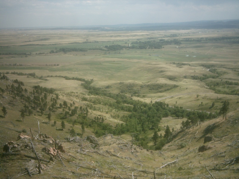
Parking
Park at Iron Creek Trailhead by Iron Creek Horse Camp, off Camp Remington Road in Custer State Park. Motor vehicles entering the state park need a South Dakota park entrance license.
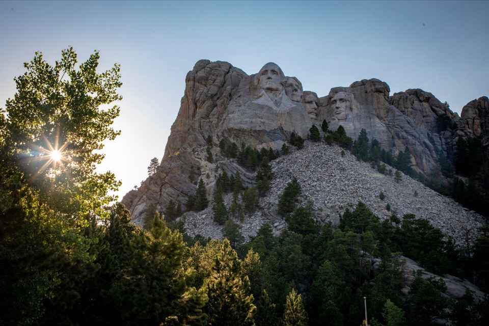
#5 of 8 trails in Mount Rushmore
Mount Rushmore National Memorial, SD
A long Centennial approach to the Mount Rushmore memorial.
Overview
Map & elevation
Plan your hike

The highest, rockiest slopes around here are a summer buffet for grizzly bears.
Mount Rushmore Tour Guide
Parkwolf is a GPS audio tour guide for Mount Rushmore National Memorial. As you drive, it chimes in with what’s ahead: hidden gems, upcoming stops, history, geology, and wildlife, right through your car’s speakers.
More stories near here in the app
“We recently toured Badlands, Custer State Park, Mount Rushmore and more! We learned so much from this app as we toured each of these sites. The audio tours are worth the money.”


Trail guide
This 10.65-mile out-and-back starts at Iron Creek Trailhead, follows Centennial Trail #89 north, turns onto Blackberry Trail toward Mount Rushmore, then returns along the same trails. The mapped corridor is 5.33 miles one way; the distance includes the return. Allow about six hours for a long, unpaved walk with repeated climbs and a steeper final connector. Blackberry Trail alone is about a mile, so do not mistake that short memorial-side hike for the full Iron Creek route.
The Centennial section is the longer part of the hike. It crosses forested Black Hills terrain on a path also used by horses, with several small creek crossings along the way. Expect the trail to rise and fall rather than climb steadily. At the junction, take Blackberry toward the memorial; continuing on Centennial follows the long-distance route beyond this hike. Carry your drinking water from the start instead of relying on the seasonal creeks.
Blackberry runs through a small valley of ponderosa pine, aspen and Black Hills spruce, then follows a creek toward the memorial. Its gravel tread is narrow, with a wooden bridge and small water crossings. The route climbs from the Centennial junction toward the memorial-side trailhead, and grades reach 10 percent. That last section is short but noticeably steeper than the long approach. The Blackberry trailhead is across Highway 244 from the memorial parking facility.
Start at Iron Creek Trailhead at Iron Creek Horse Camp on Camp Remington Road in Custer State Park. A South Dakota park entrance license is required for motor vehicles entering the state park; fees change, so check the current rules before driving in. Dogs are allowed on this route. On Blackberry Trail inside Mount Rushmore National Memorial, keep pets on a leash no longer than six feet.
Wildlife
 87 sightingsMountain GoatMost seen around 6 PMSighting map
 44 sightingsMule DeerMost seen around 6 PMSighting map
 20 sightingsWhite-tailed DeerMost seen around 6 PMSighting map
 14 sightingsTurkey VultureMost seen around 1 PMSighting map
 32 sightingsMarmotMost seen around 7 AMSighting map
 11 sightingsBrook TroutMost seen around 8 PMSighting map
Sighting maps show where each species has been reported across Mount Rushmore. Wildlife moves, so no sighting is guaranteed.
Keep exploring
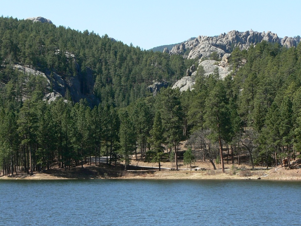 ModerateHorse Thief Lake via Blackberry and Centennial Trail3.8 mi · 2.5 hr · 3.9 mi awayA creekside forest route leads from a granite memorial to Horsethief Lake.
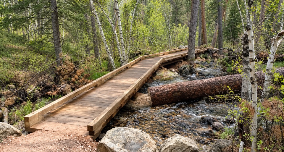 ModerateBlackberry Trail1.5 mi · 45 min · 3.9 mi awayA wooded creek walk, then a steady climb back.
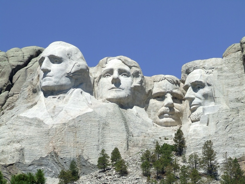 EasyNature Trail0.4 mi · 18 min · 4.1 mi awayA wooded link to Borglum's Sculptor's Studio.
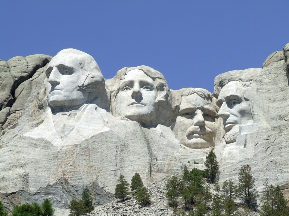 ModeratePresidential Trail0.6 mi · 36 min · 4.1 mi awayClose views of the carving, plus 422 stairs around the loop.
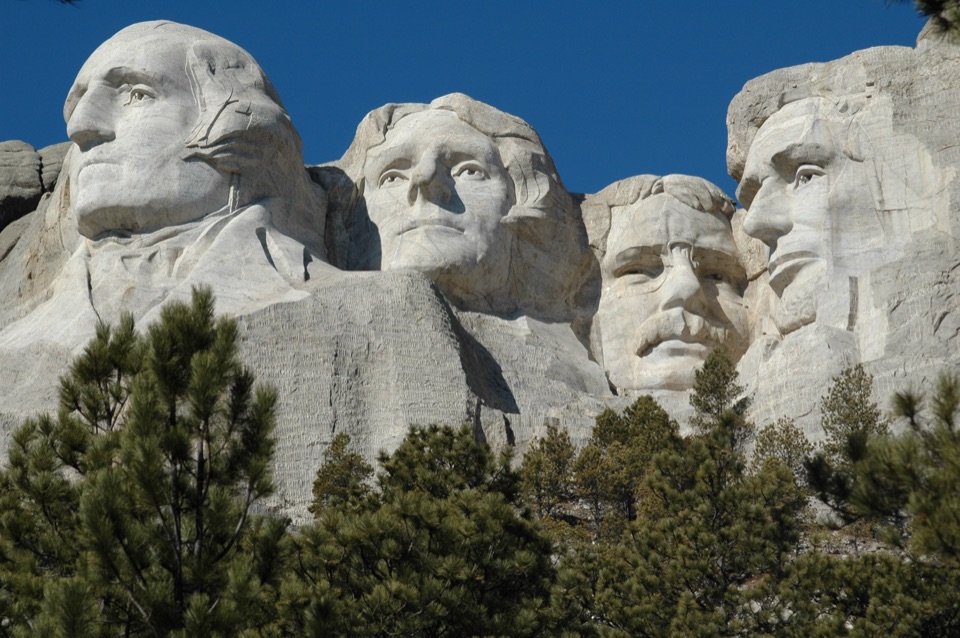 EasyPresidential Trail (Stair-Free Route)0.4 mi · 24 min · 4.1 mi awayA close view of the carved faces without the full stair loop.
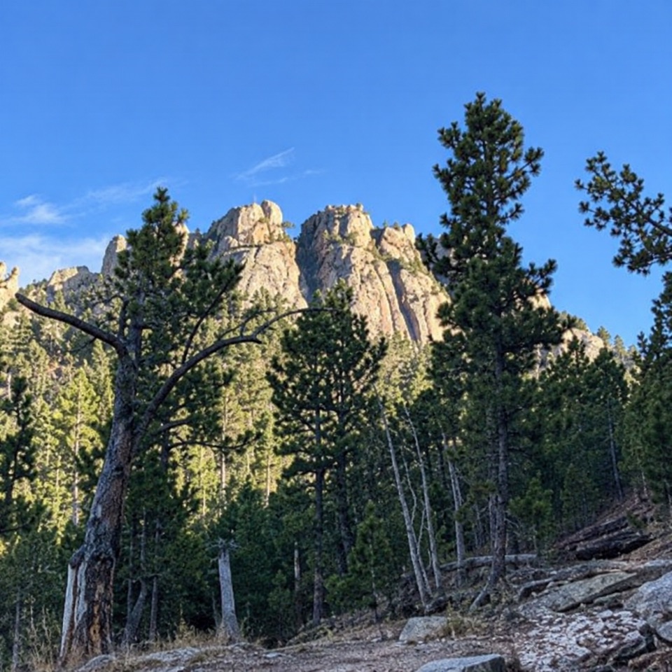 ModerateWillow Creek Rushmore Trail #51.9 mi · 1.2 hr · 5.7 mi awayA short one-way forest route toward Mount Rushmore.
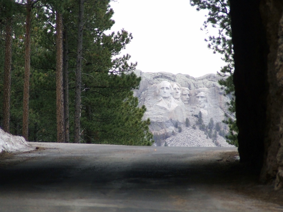 Sight · 3.8 mi awayDoane Robinson TunnelA one-lane tunnel frames four presidents from the scenic road.
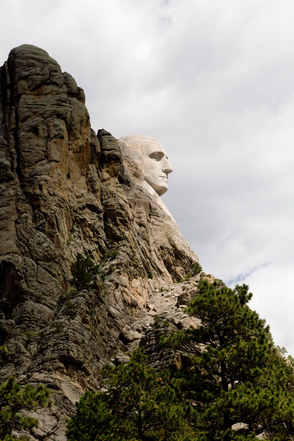 Scenic pullout · 4 mi awayProfile ViewA quick roadside stop for Washington’s rock-framed profile.
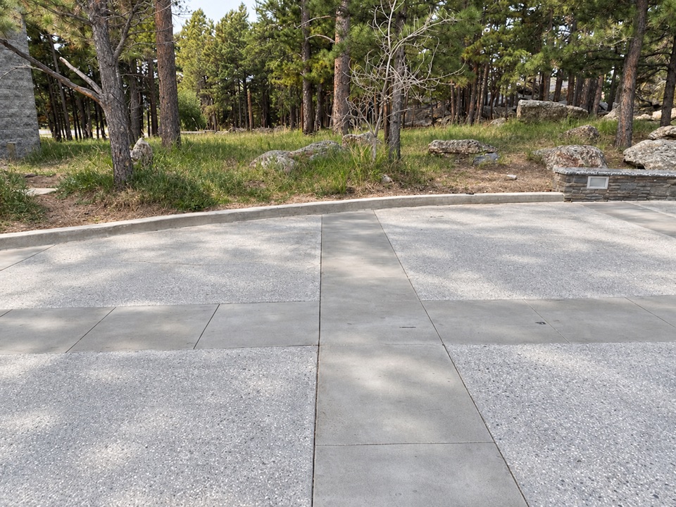 Restroom · 4 mi awayMain Entrance RestroomsA handy restroom stop opposite the entrance Information Center.
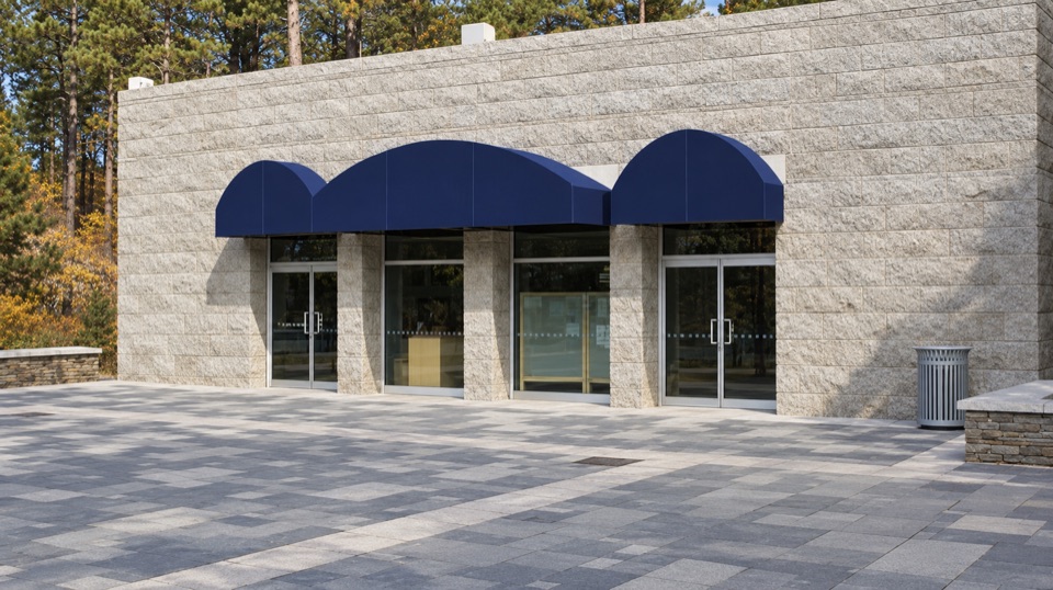 Visitor center · 4 mi awayInformation CenterA practical first stop for maps, ranger help, and a water refill.
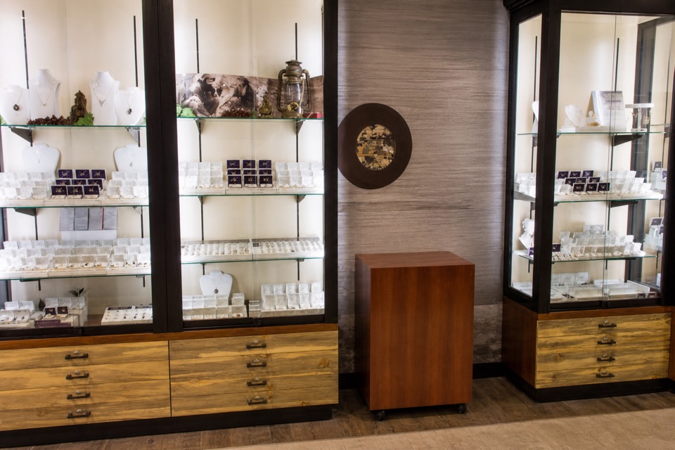 Store · 4 mi awayMount Rushmore Gift ShopBrowse Black Hills Gold and local goods alongside familiar souvenirs.
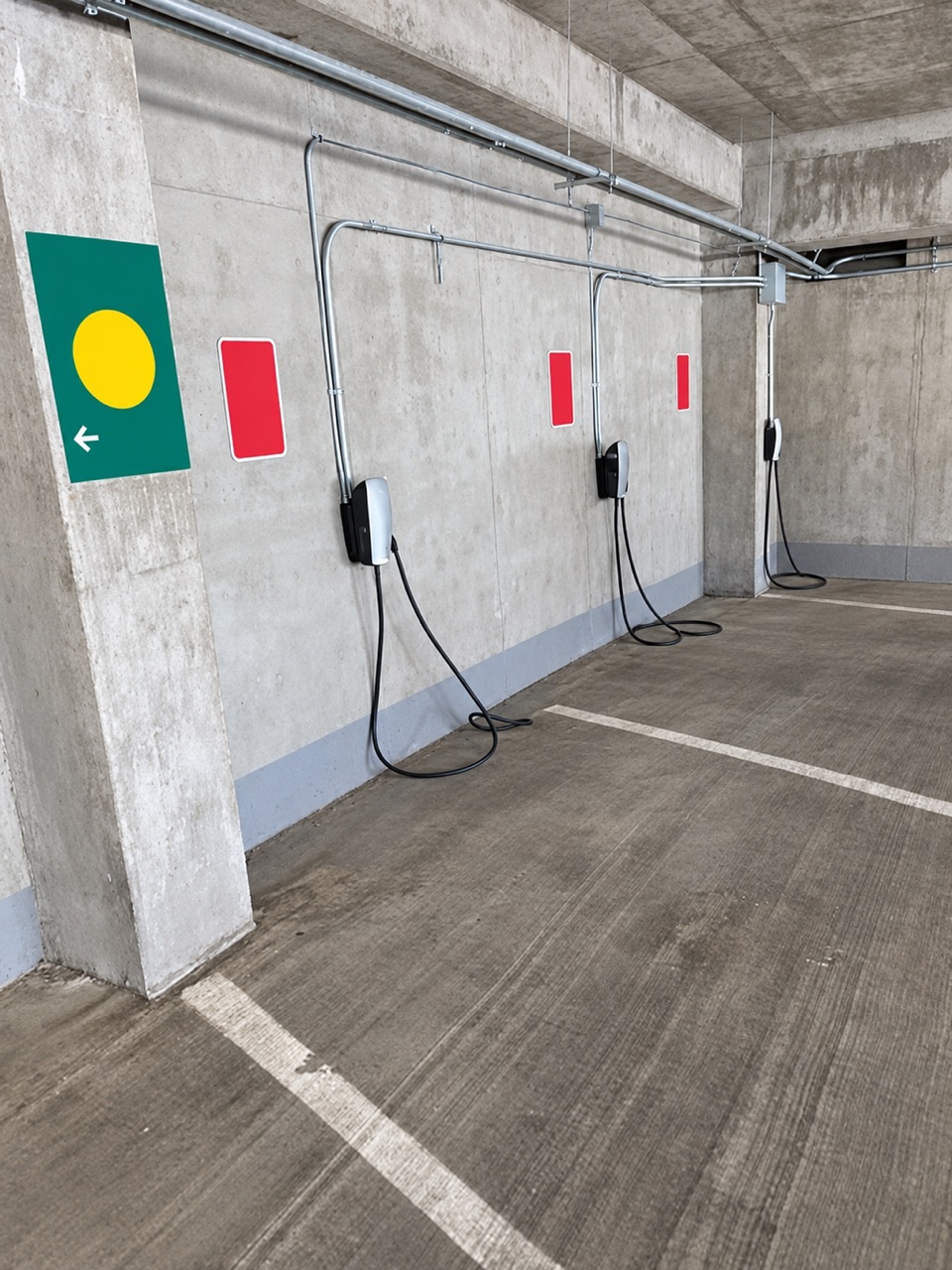 4 mi awayLincoln Parking Facility EV ChargingSix Level 2 chargers inside the Lincoln Parking Facility.
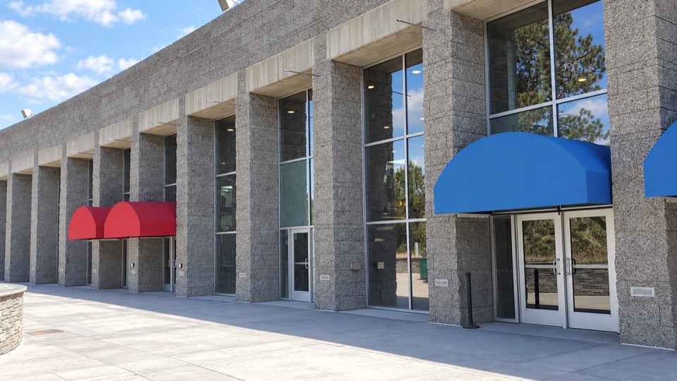 Food · 4.1 mi awayCarvers' CaféBuffalo chili and Jefferson-inspired vanilla with the sculpture in view.
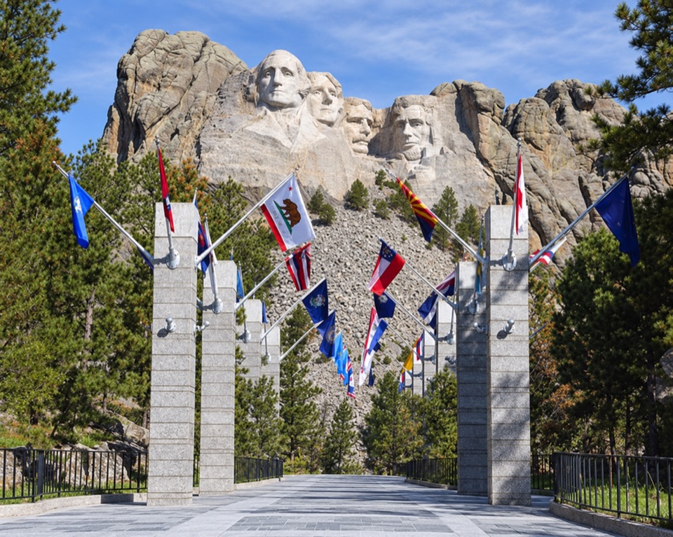 Sight · 4.1 mi awayAvenue of FlagsPick out your flag on the walk to the main terrace.
Parkwolf’s Mount Rushmore ranking

The audio tour guide for the drive, plus offline maps, trails, and wildlife heatmaps for when the signal drops.