Willow Creek Rushmore Trail #5 in Mount Rushmore National Memorial

#6 of 8 trails in Mount Rushmore

Mount Rushmore National Memorial, SD

Willow Creek Rushmore Trail #5

A short one-way forest route toward Mount Rushmore.

Length
1.9mi
Time
1.2hr
Elev. change
551ft
Difficulty
Moderate
  • Dogs allowed
  • High point 5,633 ft
Parkwolf audio tour5 stories across Mount Rushmore’s roads

Overview

About Willow Creek Rushmore Trail #5

Why go

  • Direct link between Trail No. 9 North and Centennial Trail #89.

Heads up

  • One-way logistics; approach and return miles are additional.

Map & elevation

The route

Loading the Mount Rushmore map
Full map
Elevation5,082–5,633 ft
TrailheadTrail No. 9 North junction43.89115, -103.51821
Keep this map with you offline in the Parkwolf app

Plan your hike

Before you go

Parking

Use Willow Creek Trailhead for the west-side approach. The #5 segment begins at its junction with Trail No. 9 North and finishes on Centennial Trail #89; the approach leg is additional. Parking capacity and fees are not listed, so arrange an onward route or return before starting.


Safety

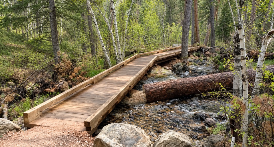
One creek crossing. Potable water is unavailable at Willow Creek Trailhead, and the route is one way rather than a loop.

1 active Mount Rushmore alert

  • InfoSculptor’s Studio Heat AdvisoryThe Sculptor’s Studio may close temporarily during periods of high heat. - The closure protects visitors and staff from high heat.Official details
Mount Rushmore alerts
A park ranger sits on a dash-mounted phone, talking, as Parkwolf’s Tour Guide plays “Army Cutworm Moths: A Grizzly Bear Buffet” on Grand Loop Road below Dunraven Pass in Yellowstone
Parkwolf Tour GuideThe highest, rockiest slopes around here are a summer buffet for grizzly bears.

Mount Rushmore Tour Guide

Your drive to Willow Creek Rushmore Trail #5, narrated.

Parkwolf is a GPS audio tour guide for Mount Rushmore National Memorial. As you drive, it chimes in with what’s ahead: hidden gems, upcoming stops, history, geology, and wildlife, right through your car’s speakers.

More stories near here in the app

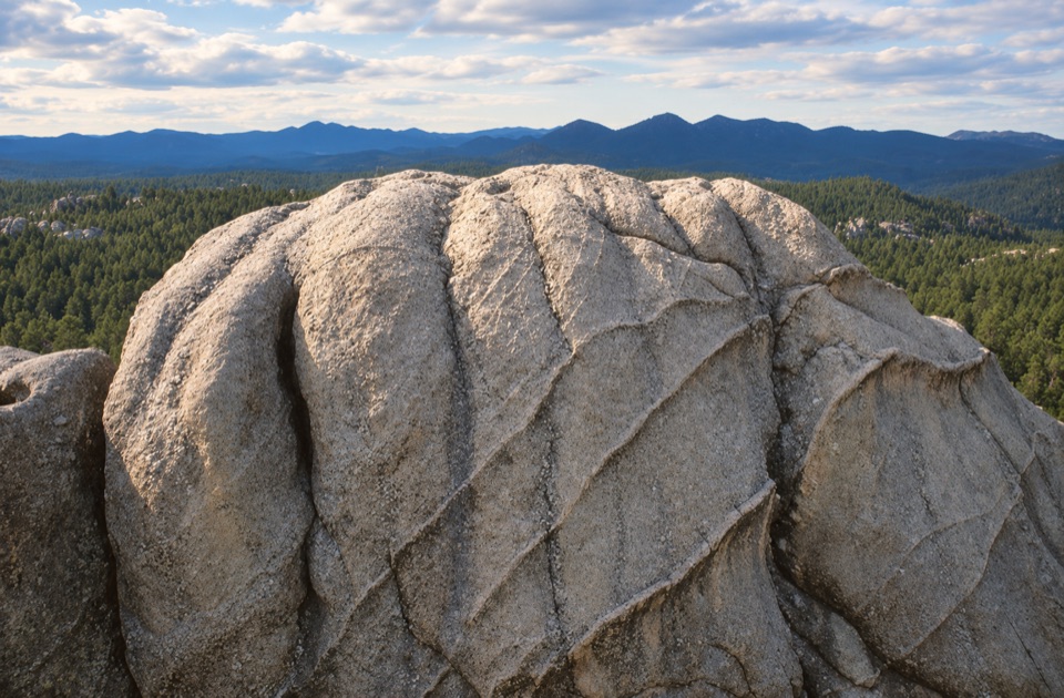
  • Wrinkled Rock Climbing Area
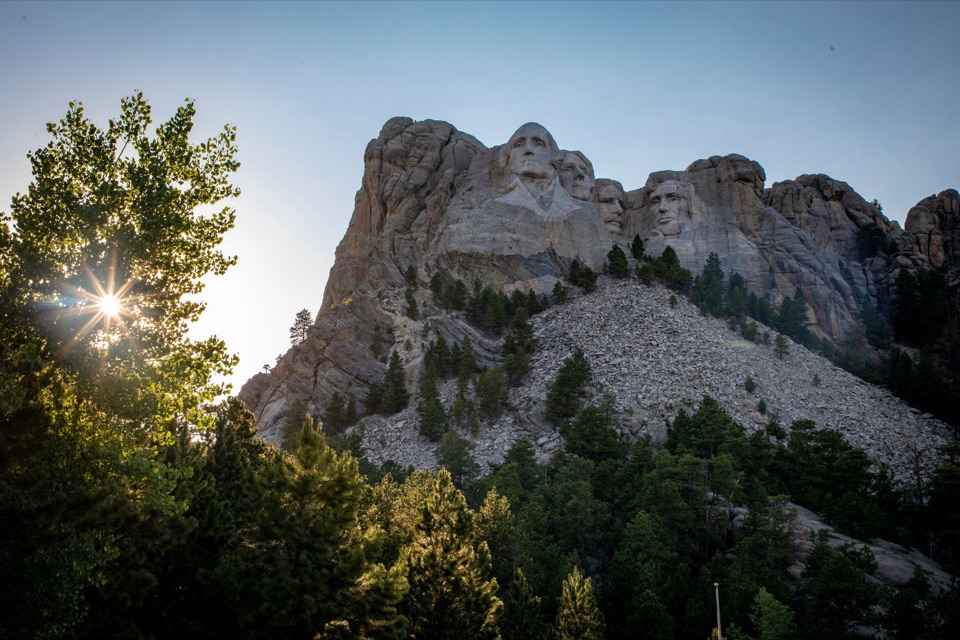
  • Washington's Profile View
  • Blackberry Trailhead: Creek Walk or Lake Hike
  • Grand View Terrace and the Visitor Complex
  • 5 audio storiesacross Mount Rushmore’s roads, triggered by GPS as you drive
  • Wildlife heatmapsfor Mountain Goat, Mule Deer, White-tailed Deer, and 7 more
  • Works offlinemaps, 8 trails, 18 places, and audio download before you lose signal
  • CarPlay readysimple controls built for the drive
★★★★★
“We recently toured Badlands, Custer State Park, Mount Rushmore and more! We learned so much from this app as we toured each of these sites. The audio tours are worth the money.”
milesdavis11App Store review
Download Parkwolf on the App StoreGet Parkwolf on Google Play

4.7 from 8,600+ ratings

Trail guide

Hiking Willow Creek Rushmore Trail #5

A forest connector toward Mount RushmoreWillow Creek Rushmore Trail 5 is a 1.

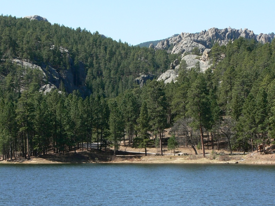
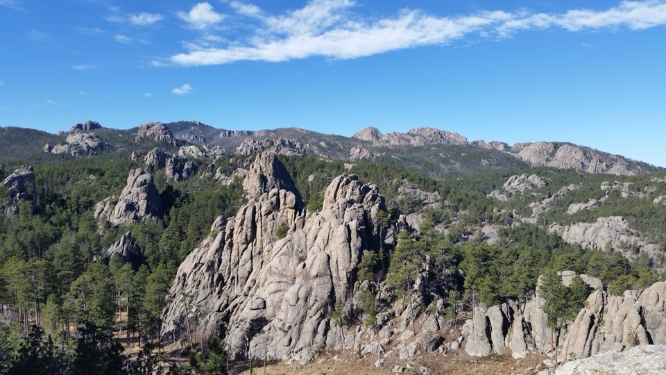
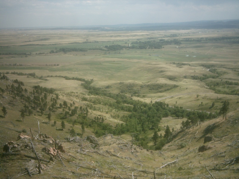
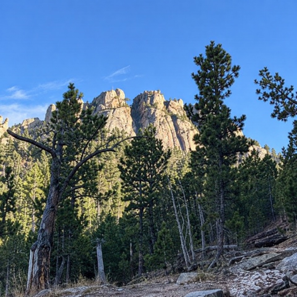
Willow Creek Rushmore Trail #5 is a 1.9-mile point-to-point route in the Black Hills National Forest, running east from the Trail No. 9 North junction to Centennial Trail #89. Hikers and horseback riders use it as one section of a longer approach toward Mount Rushmore. The #5 corridor itself ends on Centennial, not at the memorial terrace or the carved faces.

Walk west to eastThe west-to-east direction is the natural downhill line.

The west-to-east direction is the natural downhill line. The route crosses one creek and is rated moderate. Its mapped profile has about 110 feet of climbing and 640 feet of descent. Allow about 1 to 1¼ hours for the #5 segment itself.

Plan the one-way logisticsThe listed 1.9 miles is one way.

The listed 1.9 miles is one way. The approach from Willow Creek Trailhead to the west junction on Trail No. 9 North, and any return or continuation from Centennial #89, add distance. This is a connector, not a loop, so plan your next trail or ride before setting out.

Trailhead basicsPotable water is not available at Willow Creek Trailhead, and restroom details are not listed.

Potable water is not available at Willow Creek Trailhead, and restroom details are not listed. Pets are permitted on Black Hills National Forest trails. The trail is also used by horses, so expect to share the corridor.

Wildlife

Wildlife in Mount Rushmore

All Mount Rushmore wildlife maps

Sighting maps show where each species has been reported across Mount Rushmore. Wildlife moves, so no sighting is guaranteed.

Keep exploring

Near Willow Creek Rushmore Trail #5

See it all on the map

Trails that start nearby

Places near the trailhead

Parkwolf’s Mount Rushmore ranking

Top-rated trails in Mount Rushmore

All 8 trails
  1. 1Presidential TrailModerate · 0.6 mi
  2. 2Presidential Trail (Stair-Free Route)Easy · 0.4 mi
  3. 3Blackberry TrailModerate · 1.5 mi
  4. 4Horse Thief Lake via Blackberry and Centennial TrailModerate · 3.8 mi
  5. 5Mount Rushmore via Centennial TrailChallenging · 10.7 mi
  6. 7Centennial Trail #89Challenging · 121.3 mi

Take Parkwolf to Mount Rushmore.

The audio tour guide for the drive, plus offline maps, trails, and wildlife heatmaps for when the signal drops.

4.7 from 8,600+ ratings

Download Parkwolf on the App StoreGet Parkwolf on Google Play