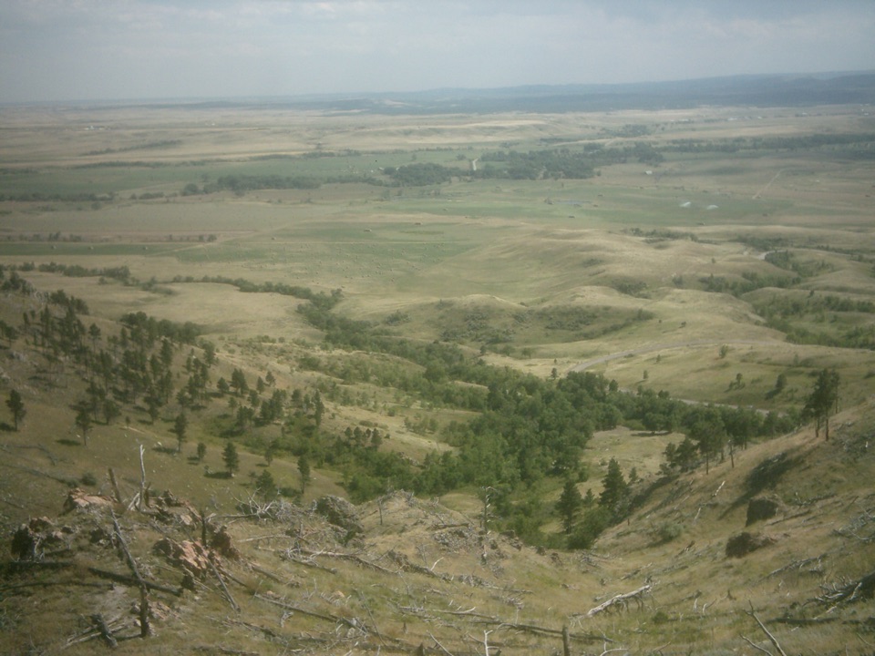
Parking
Use the Mount Rushmore parking facility; the Blackberry Trailhead is across SD-244. The route finishes at the south-side access road by Horsethief Lake, so arrange a pickup or plan to hike back.
#4 of 8 trails in Mount Rushmore
Mount Rushmore National Memorial, SD
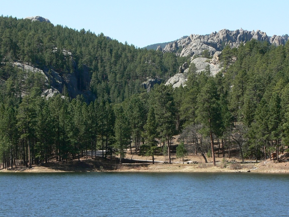
A creekside forest route leads from a granite memorial to Horsethief Lake.
Overview
Map & elevation
Plan your hike

The highest, rockiest slopes around here are a summer buffet for grizzly bears.
Mount Rushmore Tour Guide
Parkwolf is a GPS audio tour guide for Mount Rushmore National Memorial. As you drive, it chimes in with what’s ahead: hidden gems, upcoming stops, history, geology, and wildlife, right through your car’s speakers.
Recorded for this trailhead
Blackberry Trailhead: Creek Walk or Lake Hike“Up ahead is the Blackberry Trailhead, across Highway two forty-four from the memorial parking facility.”
Plays as you drive up to this trailhead in the Parkwolf Mount Rushmore Tour Guide.
More stories near here in the app
“We recently toured Badlands, Custer State Park, Mount Rushmore and more! We learned so much from this app as we toured each of these sites. The audio tours are worth the money.”


Trail guide
From the Blackberry Trailhead across SD-244 from the Mount Rushmore parking facility to Horsethief Lake access, this is a 3.8-mile point-to-point hike. It follows Blackberry to Centennial Trail #89, then turns north on the local stretch of Horsethief Trail #14. Allow about 2.5 hours of walking. The route rolls up and down through the forest, with roughly 680 feet of cumulative climbing. Arrange a pickup at the lake before you start, or retrace the same corridor for about 7.6 miles on foot.
The Blackberry Trail is roughly a mile of fine-gravel tread with a maximum grade of 10 percent. It drops into a small valley, then follows a creek to the forest boundary. Several small water crossings and a wooden bridge break up the walk beneath ponderosa pine, quaking aspen and Black Hills spruce. Two picnic tables and horse tie-ups sit along this first section. Hikers share Blackberry with equestrians, so give horses room on the narrow gravel track. Start across South Dakota Highway 244 from the memorial parking facility, and save an offline map before you leave the road.
Centennial #89 makes the middle link between Blackberry and Horsethief #14. Here it is a wooded path with gentle rises and dips, beside a small stream for part of the way, with a short steeper pitch with steps cut into the hillside. This local connector belongs to the 111-mile Centennial Trail, built with several agencies to mark South Dakota's 1889 to 1989 statehood centennial. The route enters Black Elk Wilderness; bicycles and motorized equipment are prohibited in that section. The trail changes names at each junction, so follow the #89 and #14 numbers rather than looking for one continuous lake trail.
At the junction, turn north onto Horsethief #14. The route uses only its northern section, a natural-ground path through forest and granite country. The full #14 trail is 2.7 miles from its other access, but this itinerary takes only the short northern piece. The lake-side part of #14 is described with rocky or wet patches, stream crossings and small falls. It brings you to the south-side access road beside Horsethief Lake; the lake and its wooded, rock-lined shore are the payoff. For a phone photo, keep a strip of water in the foreground and include the pale granite formations across the lake.
The lake-side campground is a separate developed stop beside the water, not a service station along the trail. Dogs may join the hike: keep them on a leash shorter than six feet on the Blackberry segment and leashed or under strict voice control through the Black Elk Wilderness. Dogs are not allowed on the lake's swim beaches. The simplest day is to arrange transportation from the south-side lake access; walking back makes this a substantially longer outing.
Wildlife
 87 sightingsMountain GoatMost seen around 6 PMSighting map
 44 sightingsMule DeerMost seen around 6 PMSighting map
 20 sightingsWhite-tailed DeerMost seen around 6 PMSighting map
 14 sightingsTurkey VultureMost seen around 1 PMSighting map
 32 sightingsMarmotMost seen around 7 AMSighting map
 11 sightingsBrook TroutMost seen around 8 PMSighting map
Sighting maps show where each species has been reported across Mount Rushmore. Wildlife moves, so no sighting is guaranteed.
Keep exploring
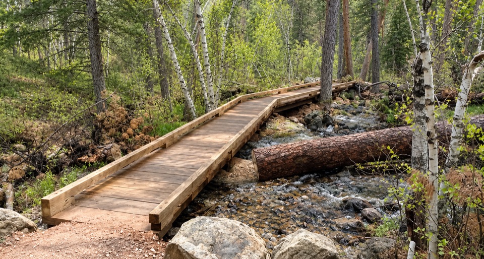 ModerateBlackberry Trail1.5 mi · 45 min · At the trailheadA wooded creek walk, then a steady climb back.
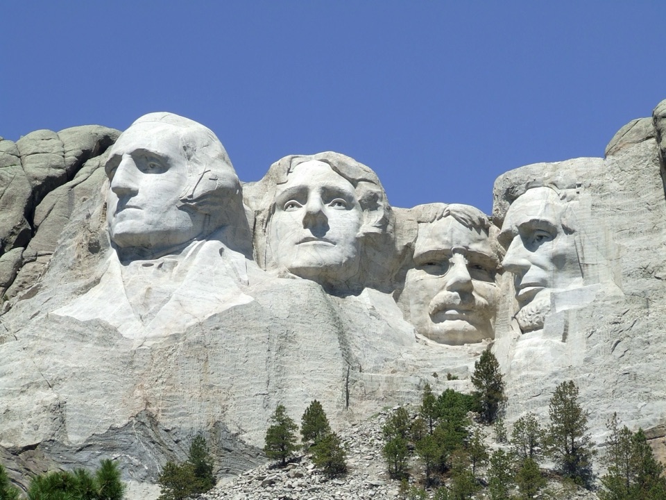 EasyNature Trail0.4 mi · 18 min · 0.2 mi awayA wooded link to Borglum's Sculptor's Studio.
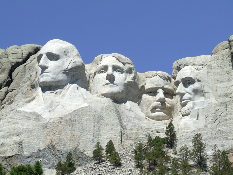 ModeratePresidential Trail0.6 mi · 36 min · 0.3 mi awayClose views of the carving, plus 422 stairs around the loop.
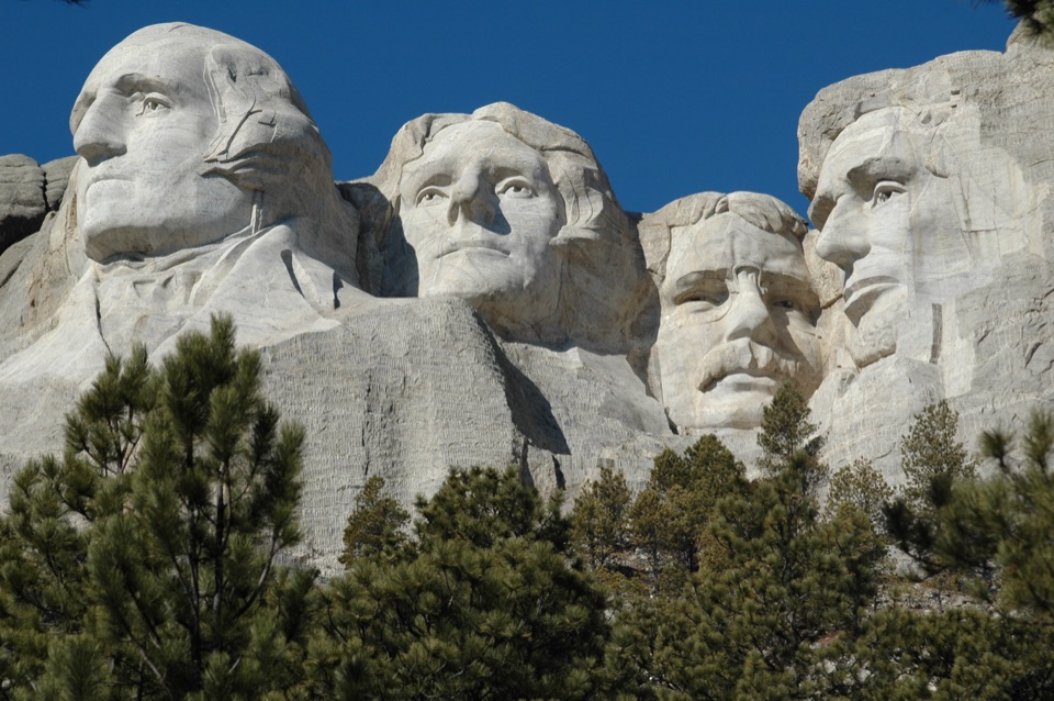 EasyPresidential Trail (Stair-Free Route)0.4 mi · 24 min · 0.3 mi awayA close view of the carved faces without the full stair loop.
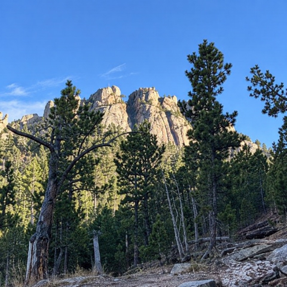 ModerateWillow Creek Rushmore Trail #51.9 mi · 1.2 hr · 3.4 mi awayA short one-way forest route toward Mount Rushmore.
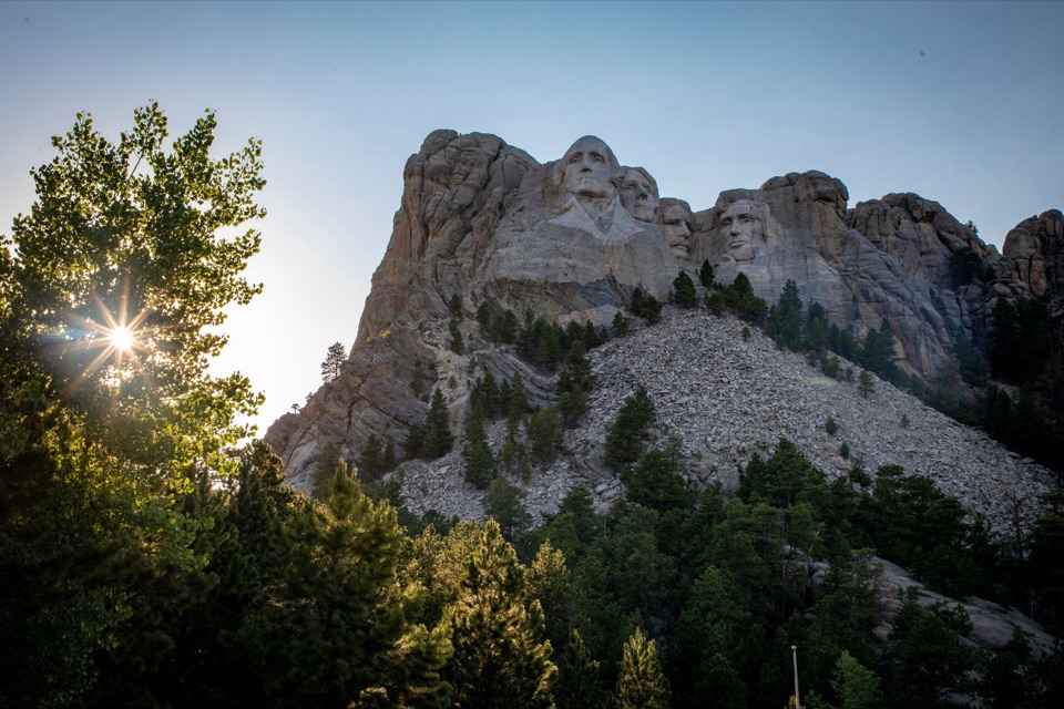 ChallengingMount Rushmore via Centennial Trail10.7 mi · 6 hr · 3.9 mi awayA long Centennial approach to the Mount Rushmore memorial.
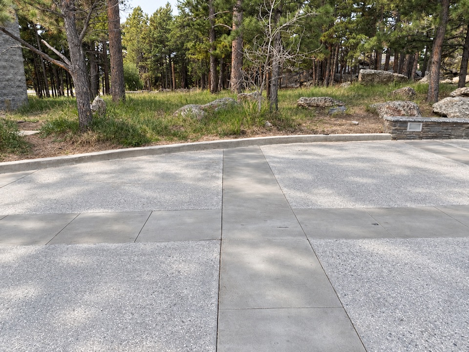 Restroom · 0.2 mi awayMain Entrance RestroomsA handy restroom stop opposite the entrance Information Center.
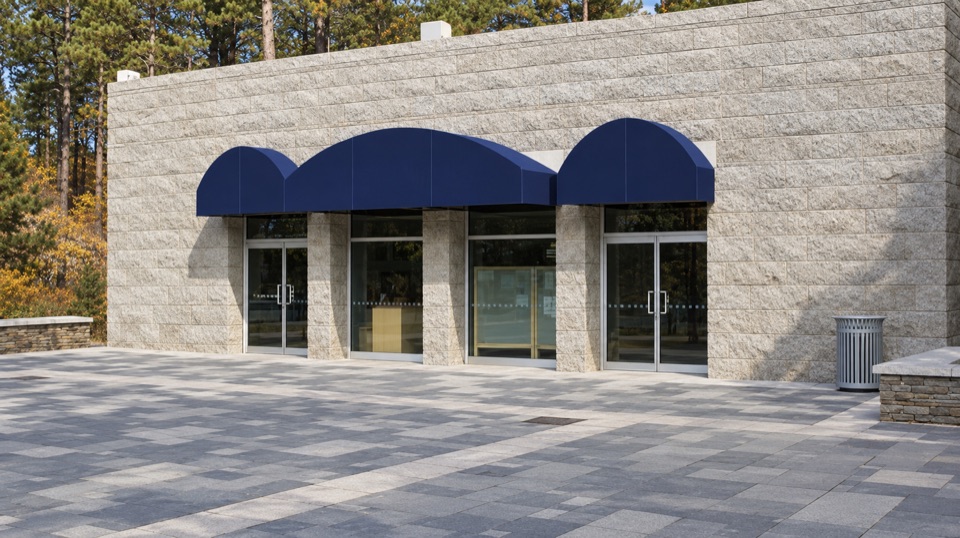 Visitor center · 0.2 mi awayInformation CenterA practical first stop for maps, ranger help, and a water refill.
 Store · 0.2 mi awayMount Rushmore Gift ShopBrowse Black Hills Gold and local goods alongside familiar souvenirs.
 0.2 mi awayLincoln Parking Facility EV ChargingSix Level 2 chargers inside the Lincoln Parking Facility.
 Food · 0.2 mi awayCarvers' CaféBuffalo chili and Jefferson-inspired vanilla with the sculpture in view.
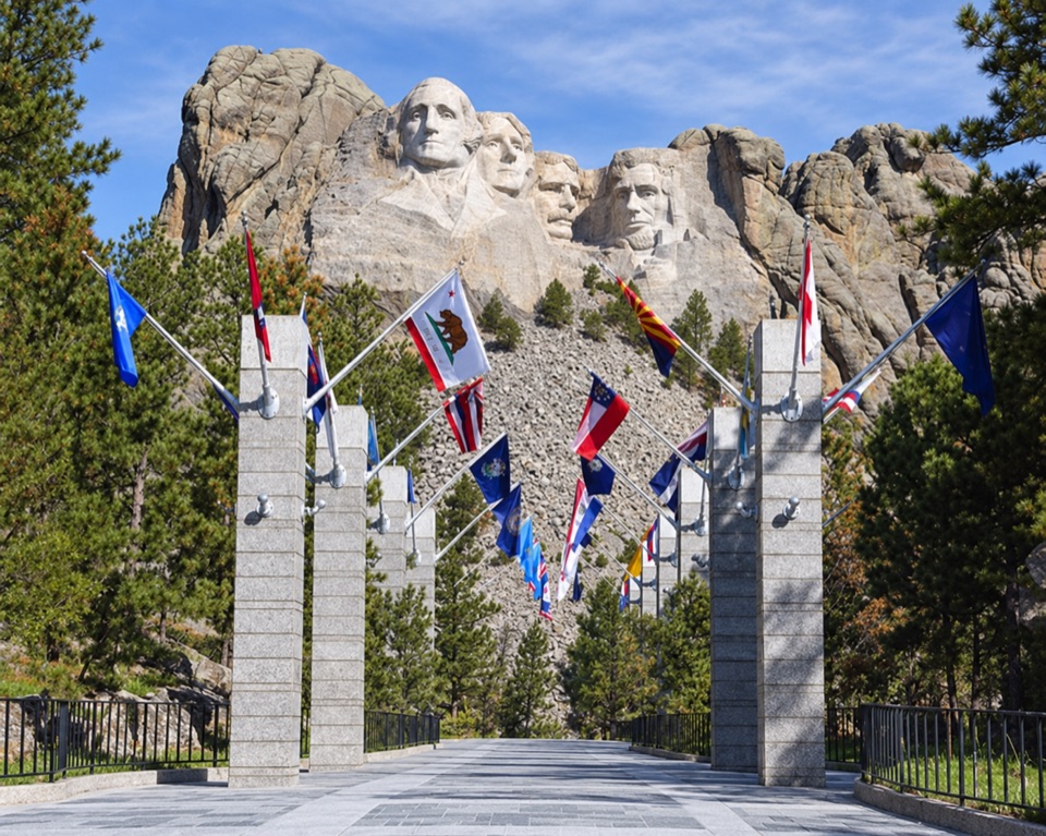 Sight · 0.2 mi awayAvenue of FlagsPick out your flag on the walk to the main terrace.
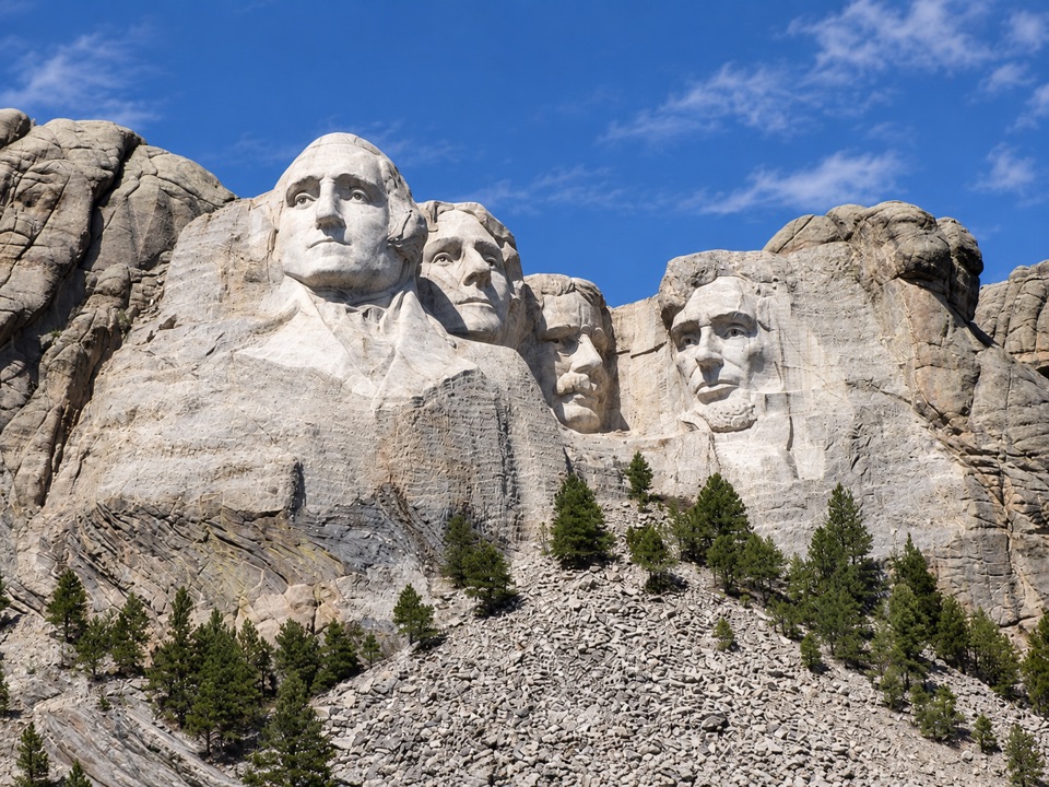 Sight · 0.3 mi awayGrand View TerraceA clear, close look at all four faces from the terrace.
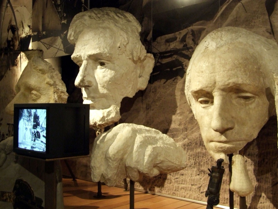 Visitor center · 0.3 mi awayLincoln Borglum Visitor CenterTrace the carving from plaster models to workers’ photographs.
Parkwolf’s Mount Rushmore ranking

The audio tour guide for the drive, plus offline maps, trails, and wildlife heatmaps for when the signal drops.