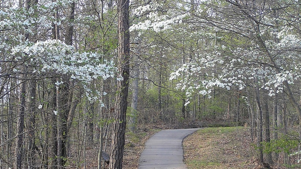
Freedom Hills Overlook in Natchez Trace Parkway

Sight · Natchez Trace Parkway

Freedom Hills Overlook

Short steep paved climb to Alabama's highest point on the Trace

Photo: NPS Photo

Type
Sight
Nearest trail
0.3 mi
Audio stories
3 nearby
  • Trailhead
  • Parking
  • Scenic viewpoint

Hear the audio tour

Freedom Hills Overlook
Download Parkwolf on the App StoreGet Parkwolf on Google Play

4.7 from 8,600+ ratings

Overview

About Freedom Hills Overlook

Why stop

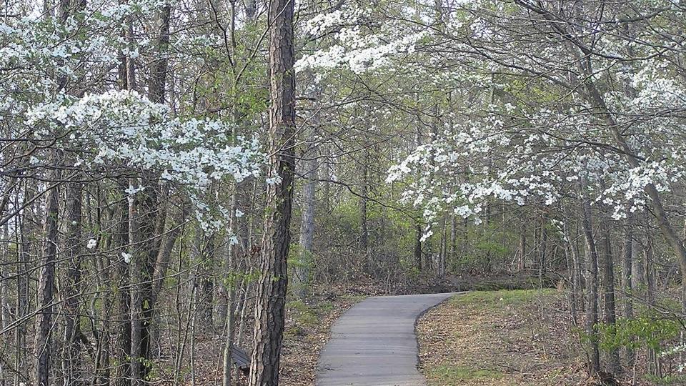
  • Dogwoods and fall color give the trail seasonal appeal

Heads up

  • Steep uphill walk for a modest, partly tree-screened view
At milepost 317.0, this is one of the Alabama stops where the view is earned on foot rather than from the driver's seat. A paved trail of roughly 1,100 feet each way climbs from the parking area to a scenic overlook said to sit at the highest point the Parkway reaches in Alabama. It makes a rewarding leg-stretch and a change of pace on a long drive.
Parkwolf’s verdictWhy stop here

Map

Where it is

Loading the Natchez Trace map
Full map
SightFreedom Hills Overlook34.71218, -88.03355
Keep this map with you offline in the Parkwolf app

Plan your stop

Before you go

Best time to go

  • Mid-March into mid-April: dogwoods are often abundant at the site, their white blossoms bright against the still-opening hardwood canopy.
  • Fall: a well-liked spot for leaf peeping, when the surrounding canopy turns and the hillsides gain color and depth.
  • Any season rewards a slow walk, since the trail itself, not just the summit, is much of the experience.

3 active Natchez Trace alerts

  • ClosureParkway closure at MP 159.5–165The Parkway is closed from State Highway 19/35 (MP 159.5) to State Highway 12 (MP 165) for road reconstruction; use the seven-mile detour.Official details
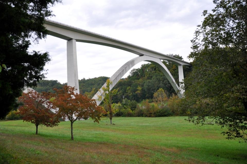
  • ClosureDouble Arch Bridge closure and detourThe Parkway is closed to through traffic at MP 437–440 for Double Arch Bridge construction; follow the signed detour.Official details
See all 3 alerts
A park ranger sits on a dash-mounted phone, talking, as Parkwolf’s Tour Guide plays “Army Cutworm Moths: A Grizzly Bear Buffet” on Grand Loop Road below Dunraven Pass in Yellowstone
Parkwolf Tour GuideThe highest, rockiest slopes around here are a summer buffet for grizzly bears.

Natchez Trace Tour Guide

Your drive to Freedom Hills Overlook, narrated.

Parkwolf is a GPS audio tour guide for Natchez Trace Parkway. As you drive, it chimes in with what’s ahead: hidden gems, upcoming stops, history, geology, and wildlife, right through your car’s speakers.

See the Natchez Trace audio tour

Recorded for this place

Freedom Hills Overlook
0:00 / 0:22
“You're approaching Freedom Hills Overlook, reached by a short but steep paved climb from the parking area. Allow twenty to thirty minutes for the half-mile round trip; benches give you places to pause.”

Plays as you drive up to Freedom Hills Overlook in the Parkwolf Natchez Trace Tour Guide.

More stories near here in the app

  • When Deer Hides Became Trade
  • The Colors Under the Green
  • A Flute Fitted to Its Player
  • The Life Beneath Bear Creek
  • 272 audio storiesacross Natchez Trace’s roads, triggered by GPS as you drive
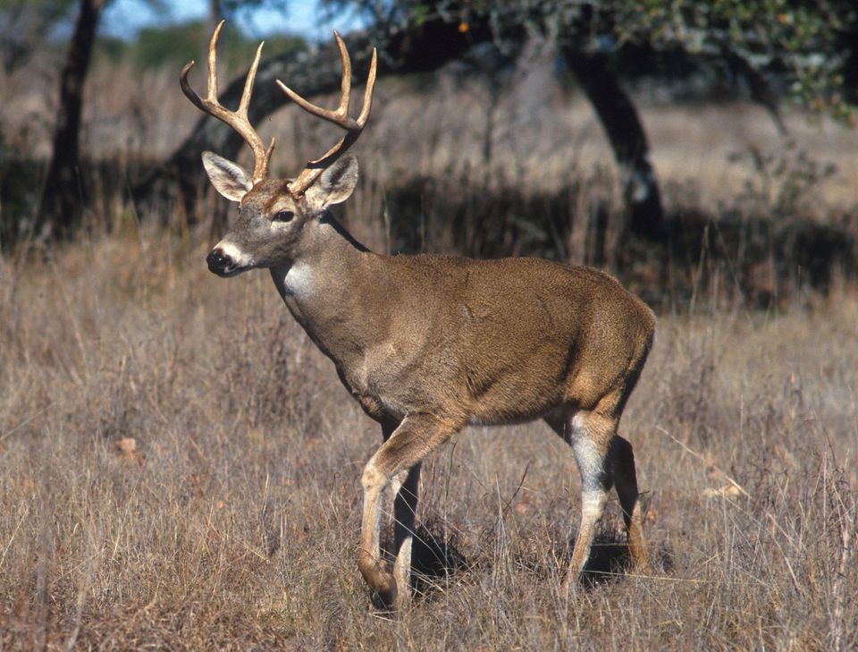
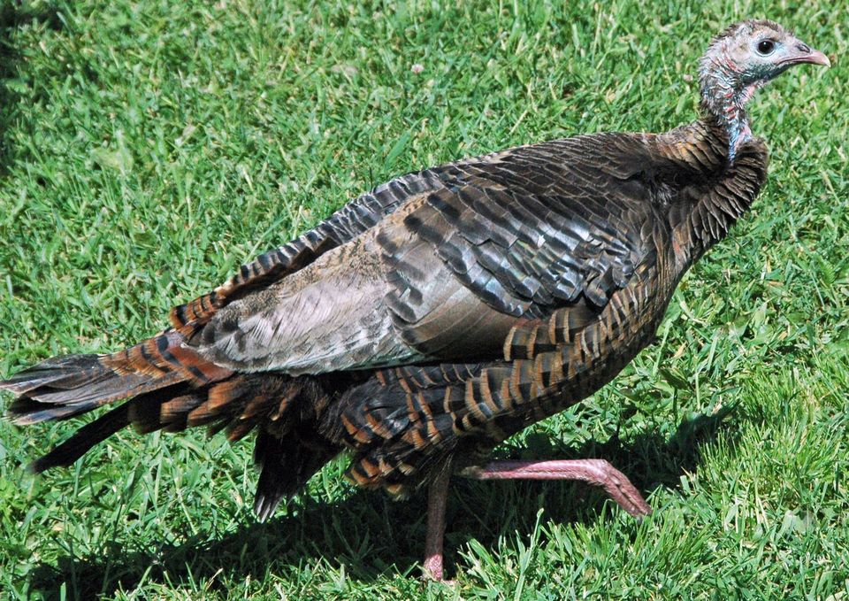
  • Wildlife heatmapsfor American Alligator, White-tailed Deer, Wild Turkey, and 9 more
  • Works offlinemaps, 26 trails, 79 places, and audio download before you lose signal
  • CarPlay readysimple controls built for the drive
★★★★★
“Fantastic app with many points of information… It’s great to just turn on while you’re driving and it gives you an audio tour of the national Park. We love it!!!!”
JMJamesApp Store review
Download Parkwolf on the App StoreGet Parkwolf on Google Play

4.7 from 8,600+ ratings

Guide

More about Freedom Hills Overlook

The climb and the benchesThe trail is short but noticeably steep, with a somewhat steep incline up to the viewpoint.

The trail is short but noticeably steep, with a somewhat steep incline up to the viewpoint. The route is paved, with some gravel sections mapped along the connecting paths, and a few benches provide places to pause on the way up or at the top.

What the view looks likeBe realistic about the payoff.

Be realistic about the payoff. The overlook offers a pleasant, layered outlook over wooded hills, peaceful rather than sweeping. Tree growth screens parts of the view, so the outlook is modest for the effort. The wooded climb itself is part of the stop.

Practical accessA parking area sits near the overlook, with the trailhead starting at the lot and connecting…
  • A parking area sits near the overlook, with the trailhead starting at the lot and connecting paths leading up to the named viewpoint.
  • Surfaces are mainly paved, with some gravel sections along the way.
  • The named overlook is at the top of the hill, not beside the road, so plan on a short uphill walk rather than a drive-up view.
  • Pair it with other brief Alabama-section stops if you want a string of short walks on the same stretch of the drive.

Wildlife

Wildlife in Natchez Trace

All Natchez Trace wildlife maps

Sighting maps show where each species has been reported across Natchez Trace. Wildlife moves, so no sighting is guaranteed.

Parkwolf’s Natchez Trace ranking

Top sights in Natchez Trace

All 79 places
  1. 1Double Arch Bridge at Birdsong HollowSight
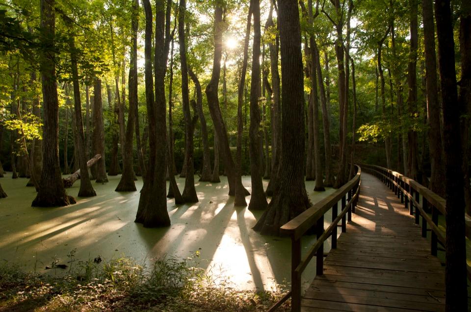
  2. 2Cypress SwampSight
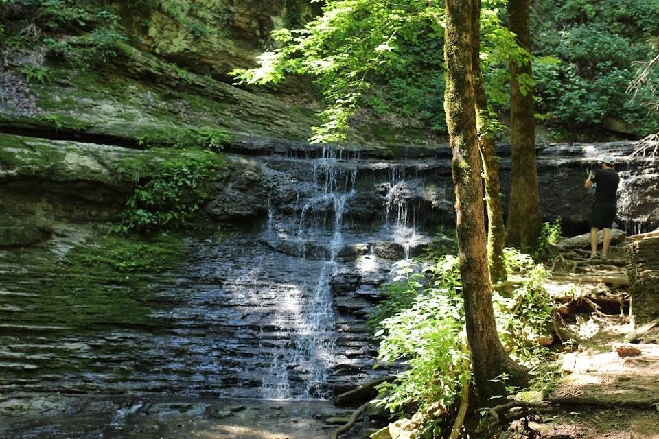
  3. 3Jackson FallsSight
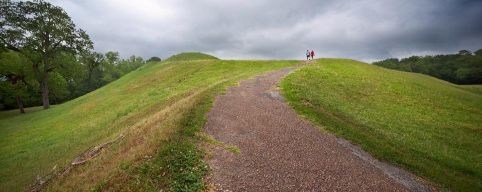
  4. 4Emerald MoundSight
  5. 5Reservoir OverlookSight
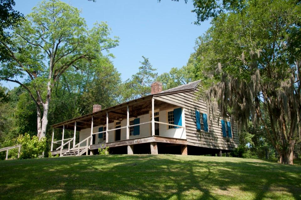
  6. 6Mount Locust Historic HouseSight

Take Parkwolf to Natchez Trace.

The audio tour guide for the drive, plus offline maps, trails, and wildlife heatmaps for when the signal drops.

4.7 from 8,600+ ratings

Download Parkwolf on the App StoreGet Parkwolf on Google Play