Bear Creek Picnic Area in Natchez Trace Parkway

Picnic area · Natchez Trace Parkway

Bear Creek Picnic Area

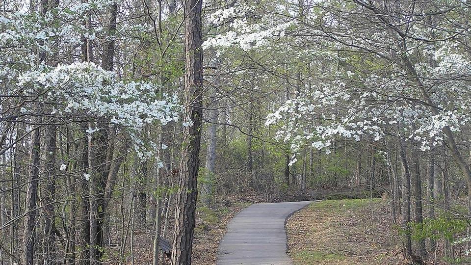
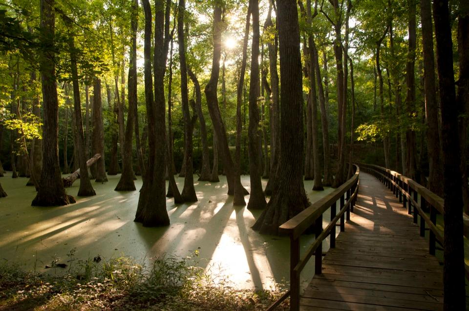
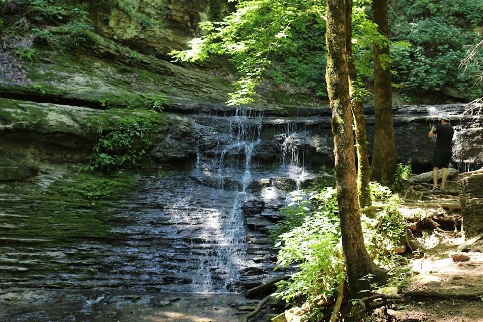
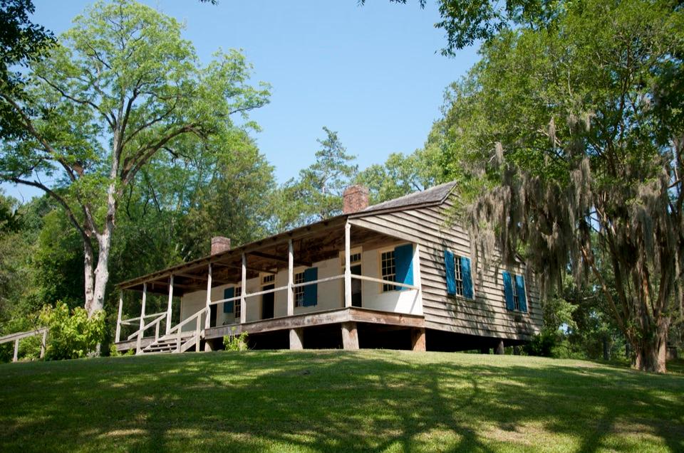
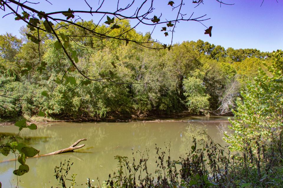
A shaded creekside pause for lunch along the Trace.

Photo: NPS Photo/P. Pinson

Type
Picnic area
Nearest trail
3.6 mi
Audio stories
2 nearby
  • Parking
  • Picnic tables

Hear the audio tour

The Houses Beside the Mound
Download Parkwolf on the App StoreGet Parkwolf on Google Play

4.7 from 8,600+ ratings

Overview

About Bear Creek Picnic Area

Why stop

  • A leafy, quiet place to eat beside Bear Creek.

Heads up

  • No restrooms; heavy rain can close the site.

Map

Where it is

Loading the Natchez Trace map
Full map
Picnic areaBear Creek Picnic Area34.67348, -88.08842
Keep this map with you offline in the Parkwolf app

Plan your stop

Before you go

3 active Natchez Trace alerts

  • ClosureParkway closure at MP 159.5–165The Parkway is closed from State Highway 19/35 (MP 159.5) to State Highway 12 (MP 165) for road reconstruction; use the seven-mile detour.Official details
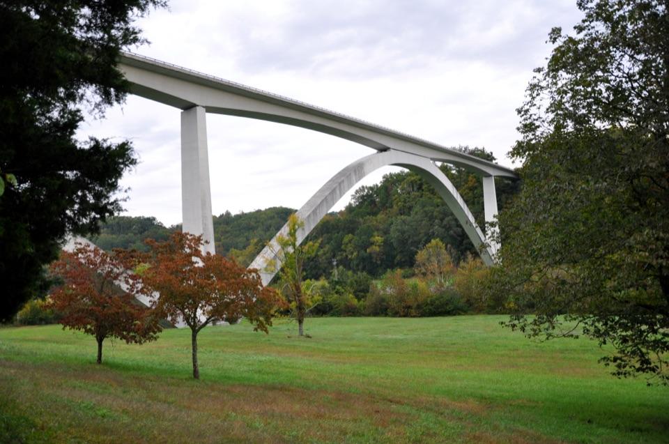
  • ClosureDouble Arch Bridge closure and detourThe Parkway is closed to through traffic at MP 437–440 for Double Arch Bridge construction; follow the signed detour.Official details

See all 3 alerts
A park ranger sits on a dash-mounted phone, talking, as Parkwolf’s Tour Guide plays “Army Cutworm Moths: A Grizzly Bear Buffet” on Grand Loop Road below Dunraven Pass in Yellowstone
Parkwolf Tour GuideThe highest, rockiest slopes around here are a summer buffet for grizzly bears.

Natchez Trace Tour Guide

Your drive to Bear Creek Picnic Area, narrated.

Parkwolf is a GPS audio tour guide for Natchez Trace Parkway. As you drive, it chimes in with what’s ahead: hidden gems, upcoming stops, history, geology, and wildlife, right through your car’s speakers.

See the Natchez Trace audio tour

Recorded for this area

The Houses Beside the Mound
0:00 / 0:31
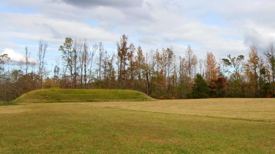
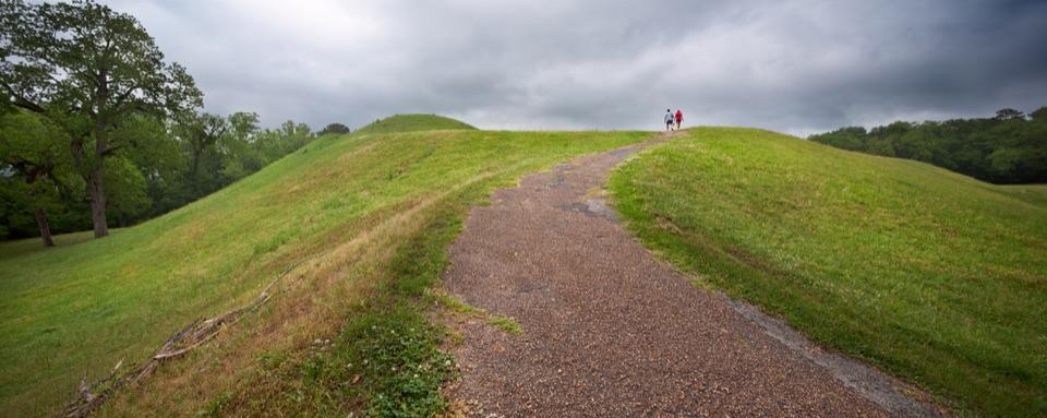
“At Bear Creek Mound, the grassy rise is only part of the story. In a 1965 excavation beside it, archaeologists found lines of old postholes tracing two houses.”

Plays on the road 0.7 mi from Bear Creek Picnic Area in the Parkwolf Natchez Trace Tour Guide.

More stories near here in the app

  • The Life Beneath Bear Creek
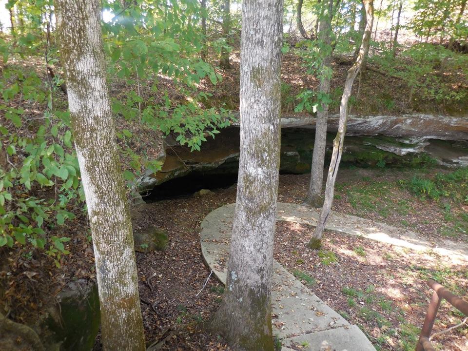
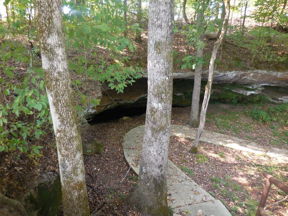
  • The Ceiling That Became the Entrance
  • When Deer Hides Became Trade
  • Cave Spring and Bear Creek Mound
  • 272 audio storiesacross Natchez Trace’s roads, triggered by GPS as you drive
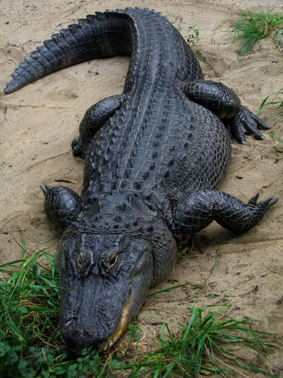
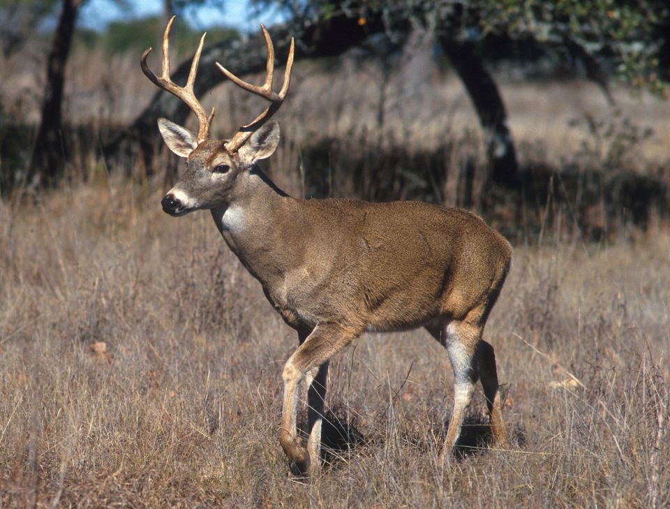
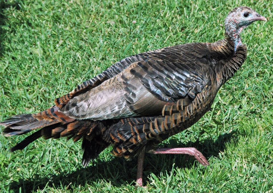
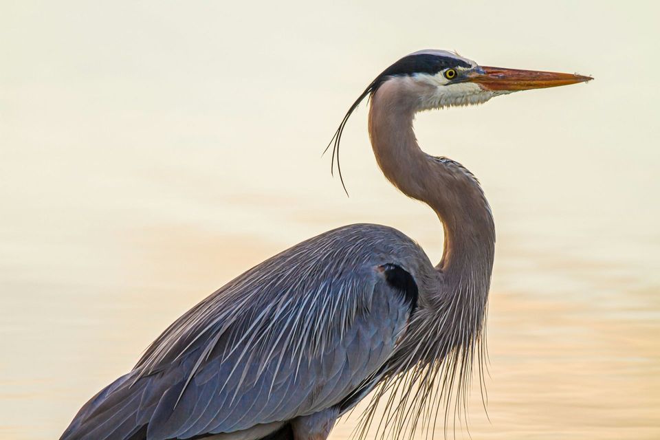
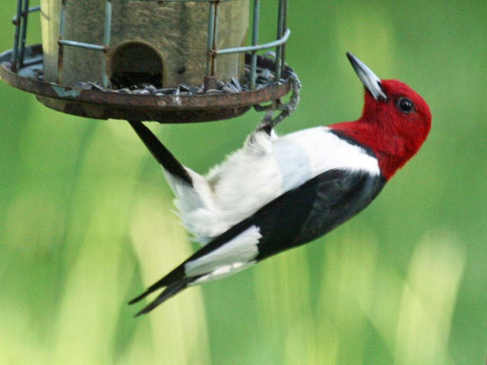
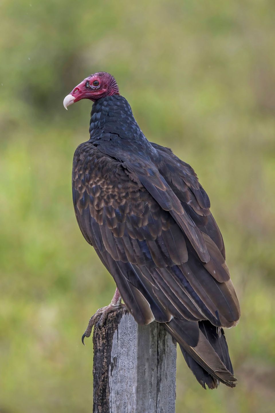
  • Wildlife heatmapsfor American Alligator, White-tailed Deer, Wild Turkey, and 9 more
  • Works offlinemaps, 26 trails, 79 places, and audio download before you lose signal
  • CarPlay readysimple controls built for the drive
★★★★★
“Fantastic app with many points of information… It’s great to just turn on while you’re driving and it gives you an audio tour of the national Park. We love it!!!!”
JMJamesApp Store review
Download Parkwolf on the App StoreGet Parkwolf on Google Play

4.7 from 8,600+ ratings

Guide

More about Bear Creek Picnic Area

An easy creekside breakBear Creek Picnic Area is a shaded roadside picnic stop at milepost 313 of the Natchez Trace…

Bear Creek Picnic Area is a shaded roadside picnic stop at milepost 313 of the Natchez Trace Parkway, in Alabama near the Mississippi line. It suits a simple meal or a chance to stretch beside the wooded creek; the quiet setting is the reason to pull in.

There are two picnic sections, each with its own parking lot. The tables sit about 100 feet from the lots, and the access road ends in a loop that makes turning around easier for larger RVs and trailers.

What to know before you stopPicnic tables and grills are available, but there are no restrooms at the site.

Picnic tables and grills are available, but there are no restrooms at the site. The nearest Parkway restrooms are at Colbert Ferry, milepost 327, farther north. Pets are allowed. Accessible picnic sites are listed, though the specific route and surface details aren't clear.

Heavy rain can flood the area and lead to closures, so check Parkway conditions before making a special stop. For food beyond what you bring, Cherokee to the north or Tishomingo to the south is about a 15-minute drive.

Bear Creek's longer storyThe creek flows north from Tishomingo County toward the Tennessee River and likely served as a…

The creek flows north from Tishomingo County toward the Tennessee River and likely served as a travel route for centuries. The picnic area is in the Chickasaw homeland; Cherokee people also lived nearby to the east. Bear Creek supports mussels, fish and other aquatic life, though the lower 17 miles have lost diversity where Pickwick Dam impounds the creek.

Wildlife

Wildlife in Natchez Trace

All Natchez Trace wildlife maps

Sighting maps show where each species has been reported across Natchez Trace. Wildlife moves, so no sighting is guaranteed.

Parkwolf’s Natchez Trace ranking

Top sights in Natchez Trace

All 79 places
  1. 1Double Arch Bridge at Birdsong HollowSight
  2. 2Cypress SwampSight
  3. 3Jackson FallsSight
  4. 4Emerald MoundSight
  5. 5Reservoir OverlookSight
  6. 6Mount Locust Historic HouseSight

Take Parkwolf to Natchez Trace.

The audio tour guide for the drive, plus offline maps, trails, and wildlife heatmaps for when the signal drops.

4.7 from 8,600+ ratings

Download Parkwolf on the App StoreGet Parkwolf on Google Play