Grindstone Ford in Natchez Trace Parkway

Sight · Natchez Trace Parkway

Grindstone Ford

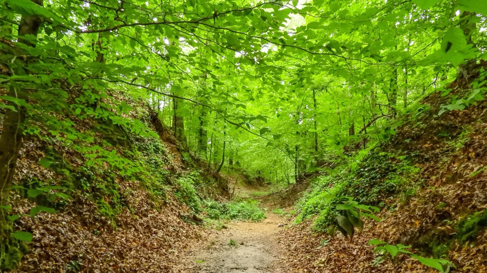
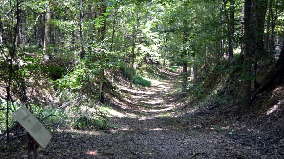
Sunken frontier road to the bayou that once divided two nations

Photo: National Park Service
Type
Sight
Audio stories
3 nearby
  • Exhibit
  • Parking
  • Trailhead

Hear the audio tour

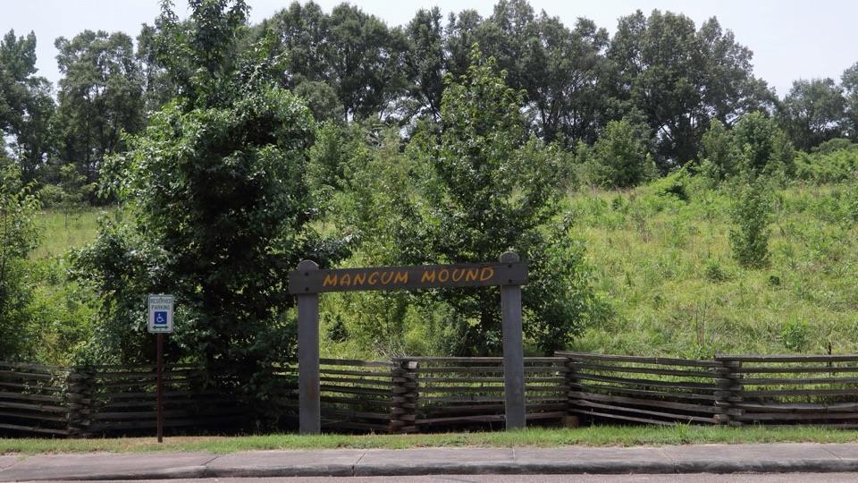
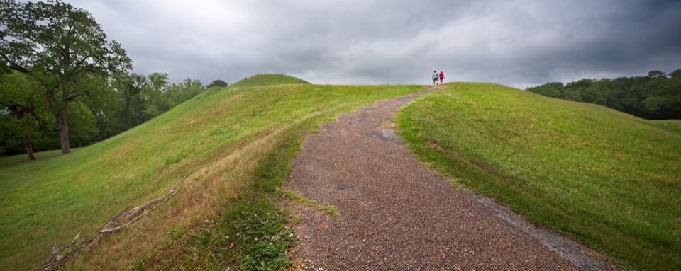
Grindstone Ford and Mangum Mound

Overview

About Grindstone Ford

Why stop

  • Sunken original Trace and Bayou Pierre crossing make history tangible
  • Short, flat loop fits easily into a Parkway drive

Heads up

  • Trail signage and the cemetery spur can be hard to follow
At milepost 45.7, this is a boundary marker in the landscape. The ford across Bayou Pierre was where the Old Natchez District ended and the Choctaw Nation began, so a short walk here puts you on the ground where travelers passed from one nation into another. The name comes from a water mill that once stood nearby.
Parkwolf’s verdictWhy stop here

Map

Where it is

Loading the Natchez Trace map
Full map
SightGrindstone Ford32.00373, -90.89574
Keep this map with you offline in the Parkwolf app

Plan your stop

Before you go

Best time to go

  • Budget about 15 to 30 minutes for the walk plus reading time. The route is short and flat, roughly 0.4 to 0.5 mile from the wooden sign at the trailhead.
  • Facilities here are limited to auto parking, a trailhead and interpretive exhibits.
  • Vehicles taller than 11 feet cannot access this site, so tall RVs and box trucks should skip it.
  • Come in daylight. Most of what this stop offers is reading the interpretive signs and picking out the shape of the sunken roadbed, and neither works after dark.


4 active Natchez Trace alerts

  • ClosureParkway sections closed for bridge and road constructionTwo Natchez Trace Parkway sections are closed to through traffic; follow the signed detours.Official details
  • ClosureMount Locust historic stand closedThe historic stand at Mount Locust Inn & Plantation (MP 15.5) is closed because of structural concerns.Official details
See all 4 alerts
A park ranger sits on a dash-mounted phone, talking, as Parkwolf’s Tour Guide plays “Army Cutworm Moths: A Grizzly Bear Buffet” on Grand Loop Road below Dunraven Pass in Yellowstone
Parkwolf Tour GuideThe highest, rockiest slopes around here are a summer buffet for grizzly bears.

Natchez Trace Tour Guide

Your drive to Grindstone Ford, narrated.

Parkwolf is a GPS audio tour guide for Natchez Trace Parkway. As you drive, it chimes in with what’s ahead: hidden gems, upcoming stops, history, geology, and wildlife, right through your car’s speakers.

Recorded for this place

Grindstone Ford and Mangum Mound
0:00 / 0:26
“You're nearing the access road for Grindstone Ford and Mangum Mound. At the ford, a short, flat walk follows a sunken piece of the old Trace toward Bayou Pierre.”

Plays as you drive up to Grindstone Ford in the Parkwolf Natchez Trace Tour Guide.

More stories near here in the app

  • The Figure on the Copper
  • The Innkeeper at the Boundary
  • Purple Rings on a Stem
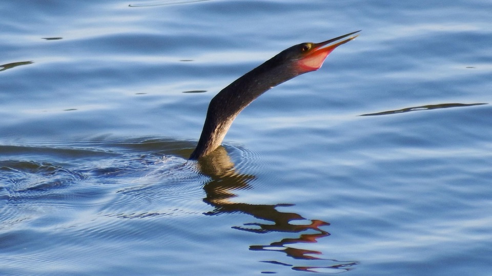
  • The Red Bird with Black Wings
  • 272 audio storiesacross Natchez Trace’s roads, triggered by GPS as you drive
  • Wildlife heatmapsfor American Alligator, White-tailed Deer, Wild Turkey, and 9 more
  • Works offlinemaps, 26 trails, 62 places, and audio download before you lose signal
  • CarPlay readysimple controls built for the drive
★★★★★
“Fantastic app with many points of information… It’s great to just turn on while you’re driving and it gives you an audio tour of the national Park. We love it!!!!”
JMJamesApp Store review
Download Parkwolf on the App StoreGet Parkwolf on Google Play

4.7 from 8,600+ ratings

Guide

More about Grindstone Ford

What you see and doA flat, easy walk from the parking area onto a sunken section of the Old Natchez Trace, worn…
  • A flat, easy walk from the parking area onto a sunken section of the Old Natchez Trace, worn well below the surrounding ground by generations of feet, hooves and wagons. Some stretches drop roughly ten feet between the embankments.
  • Interpretive signs along the route, including one for Daniel Burnett's Stand. Burnett kept a stand near the crossing and served as speaker of the Territorial House, a principal negotiator with the Choctaws, and a framer of the state constitution.
  • A spur to Grindstone Ford Cemetery, with old tombstones under the trees.
  • The ford area itself at Bayou Pierre. The route brings you to the crossing area and loops back rather than taking you across the bayou.
What makes this stop differentMany Old Trace pull-offs show a worn roadbed.

Many Old Trace pull-offs show a worn roadbed. This one adds the crossing that made the road matter. Northbound Kaintucks, boatmen who had floated cargo down the rivers and were walking home, came through here. Nearby Fort Deposit supplied the troops who cleared the Trace in 1801 and 1802, troops assembled in this vicinity during the Burr conspiracy, and soldiers crossed again during the War of 1812.

Honest drawbacksRouting is the weak point.

Routing is the weak point. Visitors regularly report that the trail and the cemetery spur can be hard to follow, and that markers are not always easy to spot or read. Locate the wooden sign at the trailhead before setting out, note where the spur branches, and be ready to backtrack. If you want a clearly marked, heavily signed history stop, other Parkway pull-offs are simpler; the reward here is the crossing itself.

Wildlife

Wildlife in Natchez Trace

All Natchez Trace wildlife maps

Sighting maps show where each species has been reported across Natchez Trace. Wildlife moves, so no sighting is guaranteed.

Parkwolf’s Natchez Trace ranking

Top sights in Natchez Trace

All 62 places
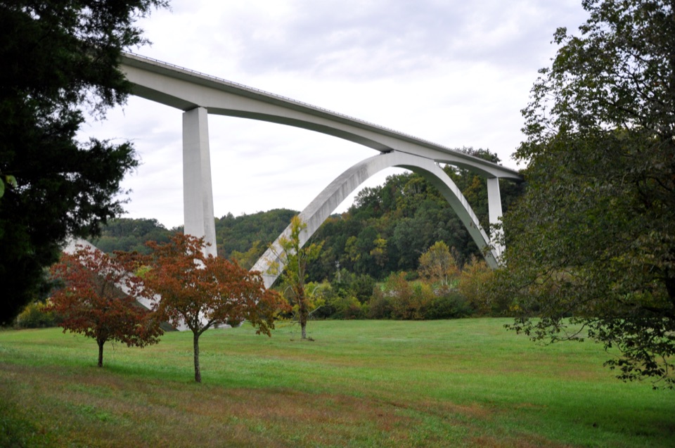
  1. 1Double Arch Bridge at Birdsong HollowSight
  2. 2Cypress SwampSight
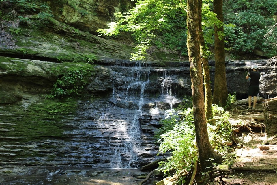
  3. 3Jackson FallsSight
  4. 4Emerald MoundSight
  5. 5Reservoir OverlookSight
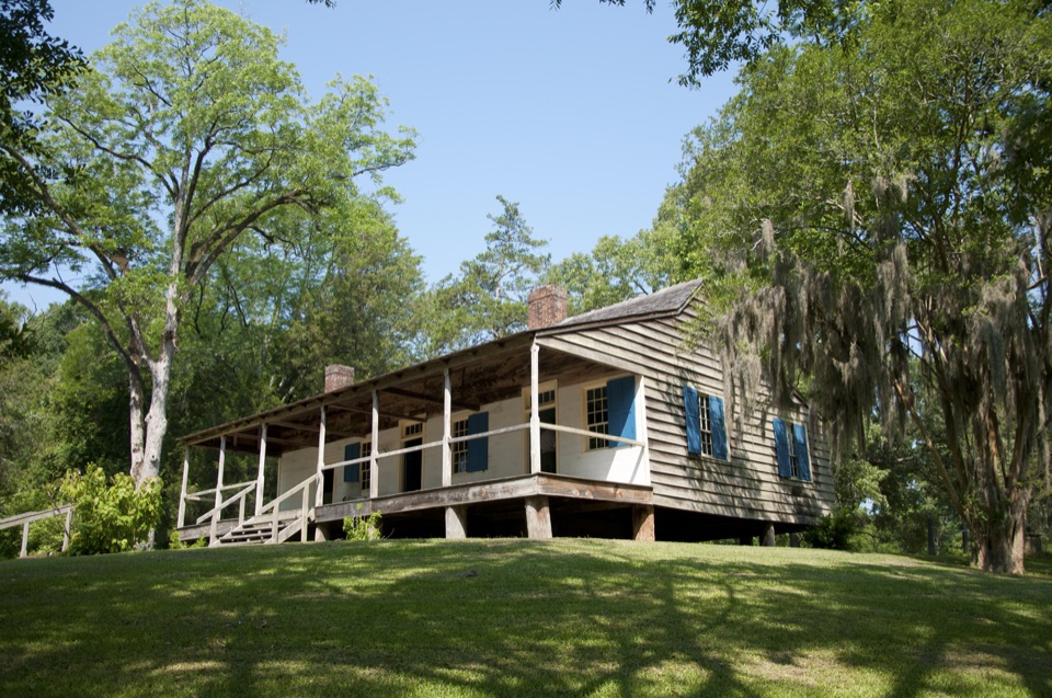
  6. 6Mount Locust Historic HouseSight

Take Parkwolf to Natchez Trace.

The audio tour guide for the drive, plus offline maps, trails, and wildlife heatmaps for when the signal drops.

4.7 from 8,600+ ratings

Download Parkwolf on the App StoreGet Parkwolf on Google Play