Best time to go
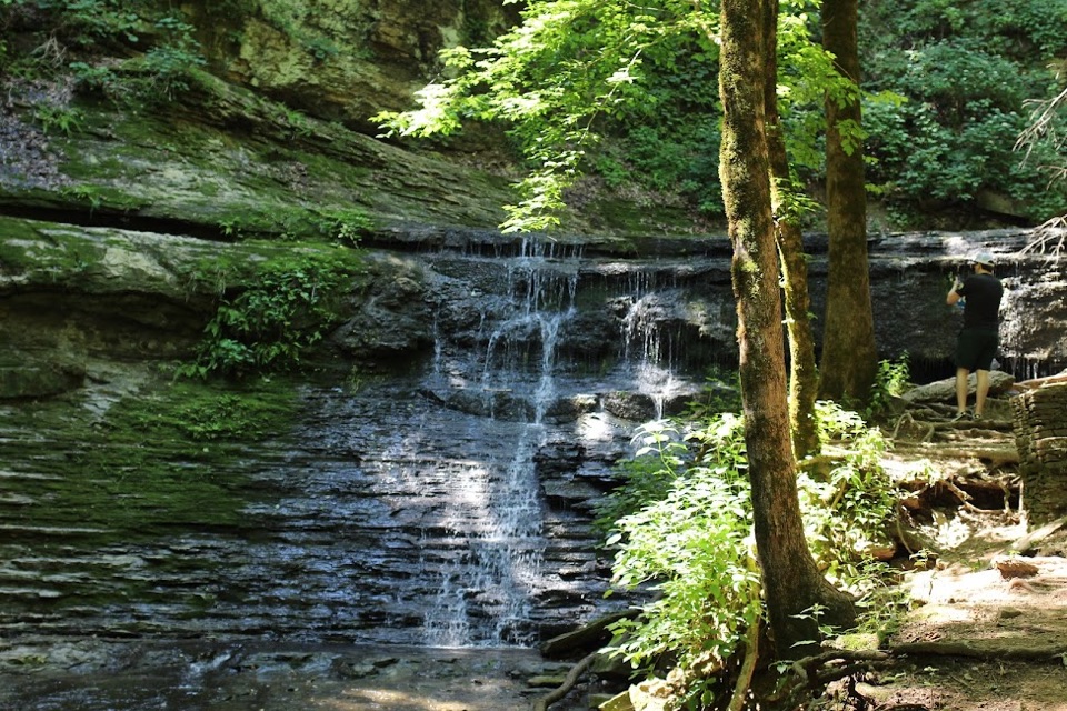
Morning and late afternoon give the softest light on the water and the rock shelf, with fewer harsh shadows through the surrounding woods.
Sight · Natchez Trace Parkway
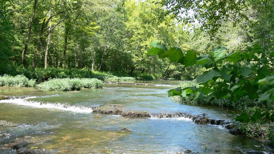
Stone-bottomed Buffalo River ford with old Trace and ironworks traces
Overview
At milepost 382.8, the Buffalo River slides over a broad, rocky shelf that gave this crossing its name. Travelers on the old Natchez Trace forded the river at this spot, and the stone bottom reminded them of "metaled" stone-surfaced roads back home. The scenery, the historic route, and an early industrial site all sit within a few minutes of the parking area.
 Parkwolf’s verdictWhy stop here
Map
Plan your stop

The highest, rockiest slopes around here are a summer buffet for grizzly bears.
Natchez Trace Tour Guide
Parkwolf is a GPS audio tour guide for Natchez Trace Parkway. As you drive, it chimes in with what’s ahead: hidden gems, upcoming stops, history, geology, and wildlife, right through your car’s speakers.
Recorded for this place
Metal Ford on the Buffalo River“You're approaching the turnoff for Metal Ford, where old Trace travelers crossed the Buffalo River over a broad rocky shelf.”
Plays as you drive up to Metal Ford in the Parkwolf Natchez Trace Tour Guide.
More stories near here in the app
“Fantastic app with many points of information… It’s great to just turn on while you’re driving and it gives you an audio tour of the national Park. We love it!!!!”


Guide
Most parkway stops mark where history happened. Here you can stand at the actual crossing point, then walk a few hundred feet to the leftovers of a frontier industry that used the same river. The pairing of a travel route and an early ironworks in one small area is what sets this stop apart.
The river level changes a lot. After heavy rain the ford is not passable and the low ground near the trail can flood or stay muddy, and parts of the path may feel poorly maintained in wet seasons. Keep well back from fast or high water. Note too that the ironworks is visible only as traces on the ground rather than a standing structure, so bring some imagination along with your camera.
Wildlife
 39 sightingsAmerican AlligatorMost seen around 6 PMSighting map
 35 sightingsWhite-tailed DeerMost seen around 7 AMSighting map
 53 sightingsWild TurkeyMost seen around 7 AMSighting map
 28 sightingsGreat Blue HeronMost seen around 6 PMSighting map
 29 sightingsRed-headed WoodpeckerMost seen around 7 AMSighting map
 32 sightingsTurkey VultureMost seen around noonSighting map
Sighting maps show where each species has been reported across Natchez Trace. Wildlife moves, so no sighting is guaranteed.
Keep exploring
Parkwolf’s Natchez Trace ranking
The audio tour guide for the drive, plus offline maps, trails, and wildlife heatmaps for when the signal drops.