Access and Amenities
- Auto parking and bus/RV parking
- Wheelchair accessible
- Historical and interpretive exhibits
- Scenic view and photo spot toward the river and bridge
Sight · Natchez Trace Parkway
Where about 2,800 Cherokee passed by water toward Indian Territory
Overview
Map
Plan your stop

The highest, rockiest slopes around here are a summer buffet for grizzly bears.
Natchez Trace Tour Guide
Parkwolf is a GPS audio tour guide for Natchez Trace Parkway. As you drive, it chimes in with what’s ahead: hidden gems, upcoming stops, history, geology, and wildlife, right through your car’s speakers.
Recorded for this place
Trail of Tears Water Route Overlook“You're approaching the Trail of Tears Water Route Overlook above the Tennessee River. In 1838, three groups of Cherokee people, about 2,800 in all, were forced past this spot by water toward Indian Territory.”
Plays as you drive up to Trail of Tears Water Route Overlook in the Parkwolf Natchez Trace Tour Guide.
More stories near here in the app
“Fantastic app with many points of information… It’s great to just turn on while you’re driving and it gives you an audio tour of the national Park. We love it!!!!”


Guide
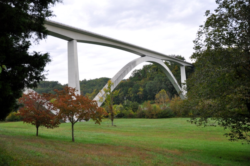
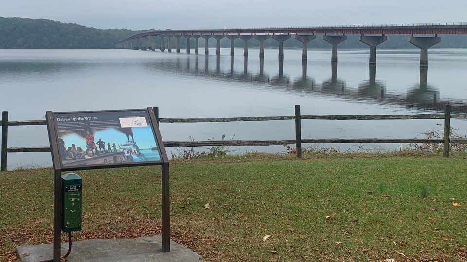
This overlook sits at Milepost 328.7 on the Natchez Trace Parkway, on the north side of the Tennessee River near Waterloo, Alabama (latitude 34.840305, longitude -87.924889). A wayside panel stands at the edge of the parking area, with the Tennessee River beyond it and the John Coffee Bridge visible to the right. A grassy area with a wood rail fence frames the view.
Three Cherokee detachments totaling about 2,800 people traveled by river past this location on their forced removal to Indian Territory. Edward Deas left Ross Landing near Chattanooga on June 6, 1838, by steamboat and barge, following the Tennessee, Ohio, Mississippi, and Arkansas Rivers and arriving near Fort Coffee on June 19, 1838. Robert H.K. Whiteley led the second detachment and John Drew led the final detachment.
Wildlife
 39 sightingsAmerican AlligatorMost seen around 6 PMSighting map
 35 sightingsWhite-tailed DeerMost seen around 7 AMSighting map
 53 sightingsWild TurkeyMost seen around 7 AMSighting map
 28 sightingsGreat Blue HeronMost seen around 6 PMSighting map
 29 sightingsRed-headed WoodpeckerMost seen around 7 AMSighting map
 32 sightingsTurkey VultureMost seen around noonSighting map
Sighting maps show where each species has been reported across Natchez Trace. Wildlife moves, so no sighting is guaranteed.
Keep exploring
Parkwolf’s Natchez Trace ranking

The audio tour guide for the drive, plus offline maps, trails, and wildlife heatmaps for when the signal drops.