Parking
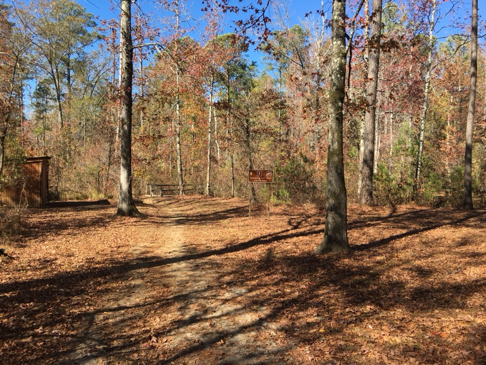
Use the Bynum Mounds parking area at milepost 232.4; start at the information kiosk.
Natchez Trace Parkway, MS · AL · TN
A short paved loop around two rebuilt Middle Woodland mounds.
Overview
Map & elevation
Plan your hike

The highest, rockiest slopes around here are a summer buffet for grizzly bears.
Natchez Trace Tour Guide
Parkwolf is a GPS audio tour guide for Natchez Trace Parkway. As you drive, it chimes in with what’s ahead: hidden gems, upcoming stops, history, geology, and wildlife, right through your car’s speakers.
Recorded for this trailhead
Bynum Mounds“You're approaching Bynum Mounds, the oldest mound site along the Parkway.”
Plays as you drive up to this trailhead in the Parkwolf Natchez Trace Tour Guide.
More stories near here in the app
“Fantastic app with many points of information… It’s great to just turn on while you’re driving and it gives you an audio tour of the national Park. We love it!!!!”


Trail guide
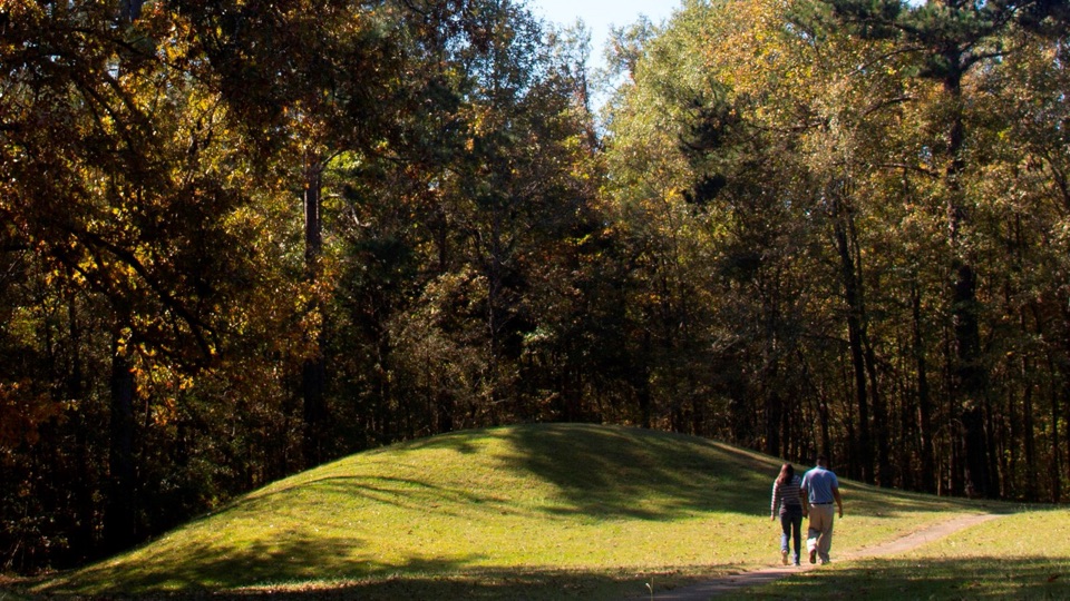
Bynum Mounds Trail is a 0.2-mile paved loop around a small archaeological site at milepost 232.4 on the Natchez Trace Parkway. It is an easy, accessible detour for anyone curious about the people who lived and held ceremonies here long before the modern parkway. Allow about 15 minutes if you stop to read the displays; this is an interpretive stroll, not a workout or a way to add hiking miles.
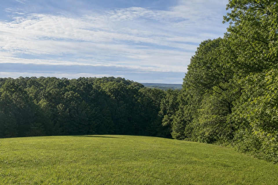
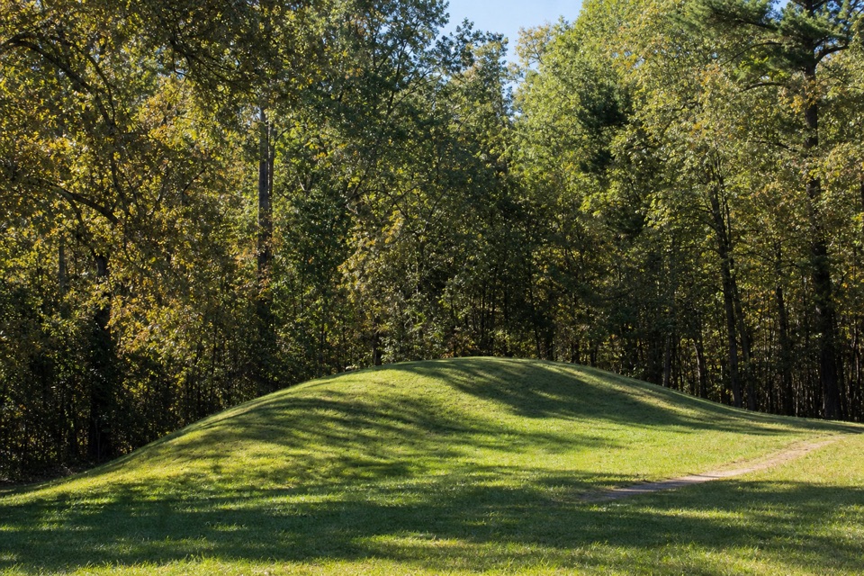
The path circles low grassy mounds beside the forest edge and passes an interpretive shelter. Six mounds once stood here. National Park Service archaeologists excavated five in the 1940s and rebuilt the two largest. They date from 100 BCE to 100 CE, during the Middle Woodland period, and objects uncovered here point to trade across the Southeast. Chickasaw descendants and other descendants continue to return to this culturally important homeland.
Park at Bynum Mounds and begin by the information kiosk. The route is paved and listed as wheelchair accessible. Leashed pets are welcome in outdoor areas; keep them on a leash no longer than six feet.
Wildlife
 39 sightingsAmerican AlligatorMost seen around 6 PMSighting map
 35 sightingsWhite-tailed DeerMost seen around 7 AMSighting map
 53 sightingsWild TurkeyMost seen around 7 AMSighting map
 28 sightingsGreat Blue HeronMost seen around 6 PMSighting map
 29 sightingsRed-headed WoodpeckerMost seen around 7 AMSighting map
 32 sightingsTurkey VultureMost seen around noonSighting map
Sighting maps show where each species has been reported across Natchez Trace. Wildlife moves, so no sighting is guaranteed.
Keep exploring
Parkwolf’s Natchez Trace ranking

The audio tour guide for the drive, plus offline maps, trails, and wildlife heatmaps for when the signal drops.