Parking
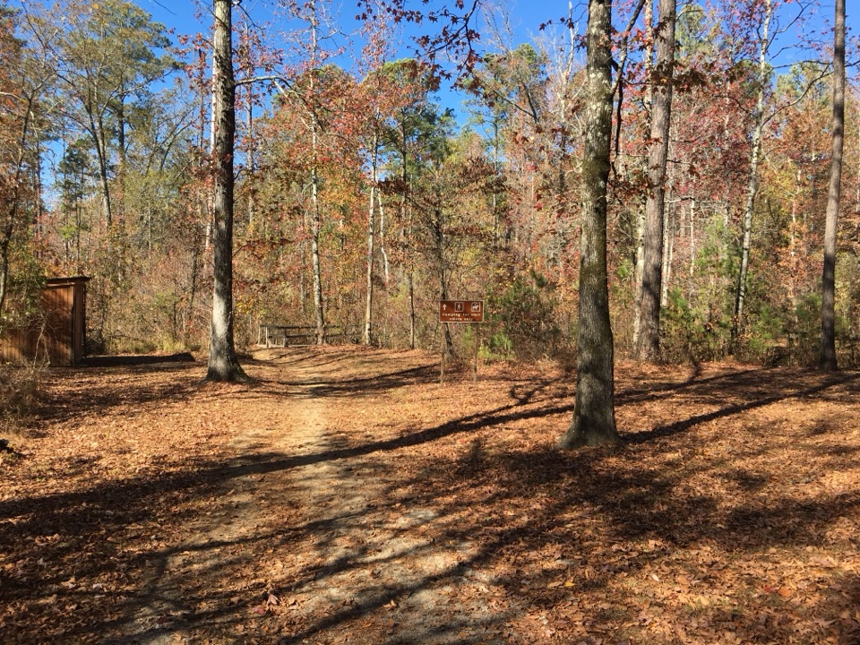
Start at the Witch Dance south horse-trail access and staging area off Natchez Trace Parkway. The NPS identifies the Witch Dance stop at milepost 233.2; a nearby bicycle-only staging/campground listing uses milepost 234.
Natchez Trace Parkway, MS · AL · TN
A long woodland circuit across stream valleys and branching paths.
Overview
Map & elevation
Plan your hike

The highest, rockiest slopes around here are a summer buffet for grizzly bears.
Natchez Trace Tour Guide
Parkwolf is a GPS audio tour guide for Natchez Trace Parkway. As you drive, it chimes in with what’s ahead: hidden gems, upcoming stops, history, geology, and wildlife, right through your car’s speakers.
Recorded for this trailhead
Witch Dance Picnic Area“You're coming up on Witch Dance Picnic Area, a shaded place to eat with tables, grills, and a short paved loop. A local legend says witches danced here and the grass withered wherever their feet touched the ground.”
Plays as you drive up to this trailhead in the Parkwolf Natchez Trace Tour Guide.
More stories near here in the app
“Fantastic app with many points of information… It’s great to just turn on while you’re driving and it gives you an audio tour of the national Park. We love it!!!!”


Trail guide
Witch Dance Horse Trail is a multi-loop path network in Tombigbee National Forest, but this listing covers the 8.8-mile southern loop from the Witch Dance access, not all roughly 15 miles of trail in the system. It heads north on a long forest path, returns on a parallel branch, then retraces about 0.6 mile along the shared south approach. Allow about 3½ hours; roughly 850 feet of rolling ascent makes it a moderate half-day walk rather than a quick stop.
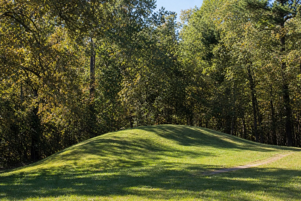
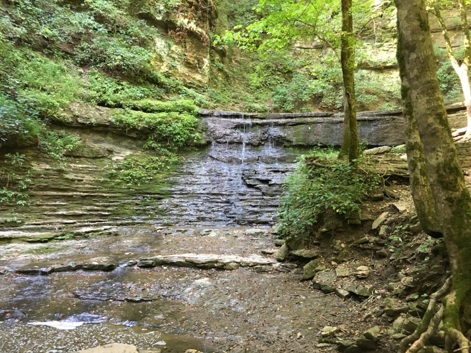
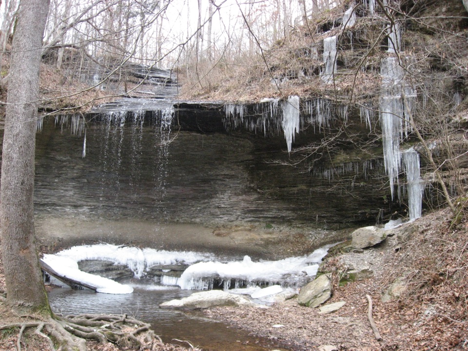
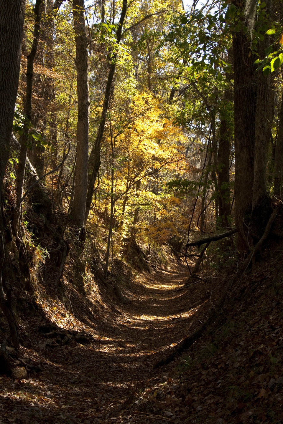
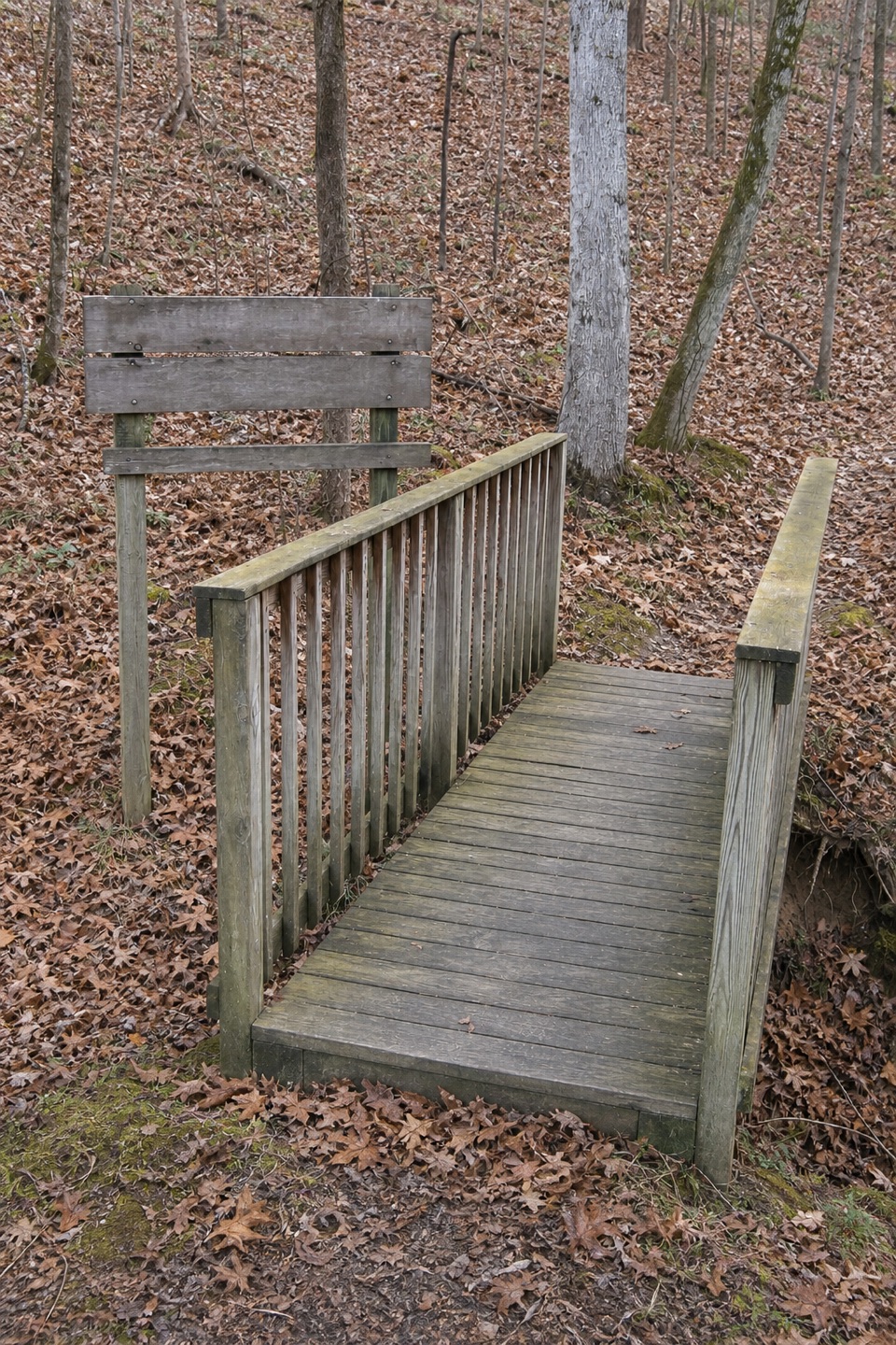
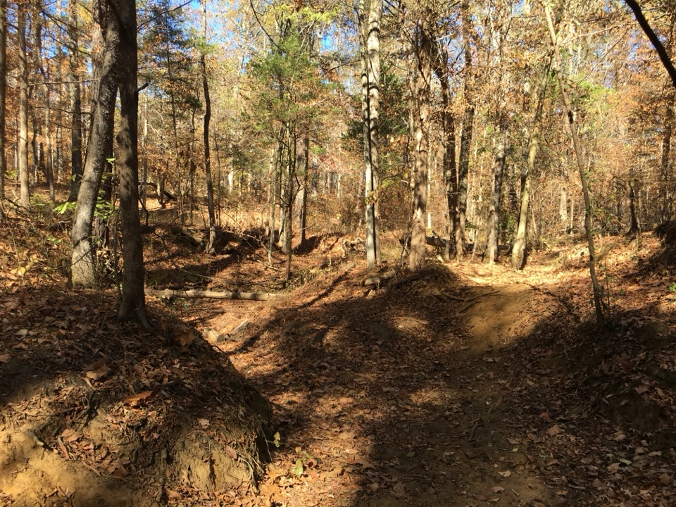
Most of the route stays beneath pine and hardwood canopy. The unpaved tread rolls through small hollows and crosses meandering streams and dry channels rather than climbing to a summit or opening onto a major view. The water and changing woodland are the route's recurring features; the payoff is a long forest circuit, not a single waterfall or overlook. Low sections can be muddy or hold water after wet weather.
The wider forest system has crossovers and several loops. Older accounts of this southern circuit describe junctions splitting in multiple directions with little descriptive guidance, so keep an offline map of the selected loop and check it at forks instead of assuming every colored horse-trail marker leads the same way. This circuit follows the main path north and returns on a branch, with the shared approach walked twice.
Use the Witch Dance south trailhead and horse-staging access off the Natchez Trace Parkway. The Forest Service permits hiking and horseback use, lists no user fee, and says the trail is open year-round unless winter weather requires a closure. Restrooms and water are available at the staging area; outdoor taps generally operate April through October, with restroom water sometimes available in winter. The north Payamatha trailhead's chemical toilet belongs to the larger network, not this circuit. The Witch Dance place-name carries local folklore about witchcraft and rituals; treat it as legend, not documented history.
Wildlife
 39 sightingsAmerican AlligatorMost seen around 6 PMSighting map
 35 sightingsWhite-tailed DeerMost seen around 7 AMSighting map
 53 sightingsWild TurkeyMost seen around 7 AMSighting map
 28 sightingsGreat Blue HeronMost seen around 6 PMSighting map
 29 sightingsRed-headed WoodpeckerMost seen around 7 AMSighting map
 32 sightingsTurkey VultureMost seen around noonSighting map
Sighting maps show where each species has been reported across Natchez Trace. Wildlife moves, so no sighting is guaranteed.
Keep exploring
Parkwolf’s Natchez Trace ranking

The audio tour guide for the drive, plus offline maps, trails, and wildlife heatmaps for when the signal drops.