Place
Easy
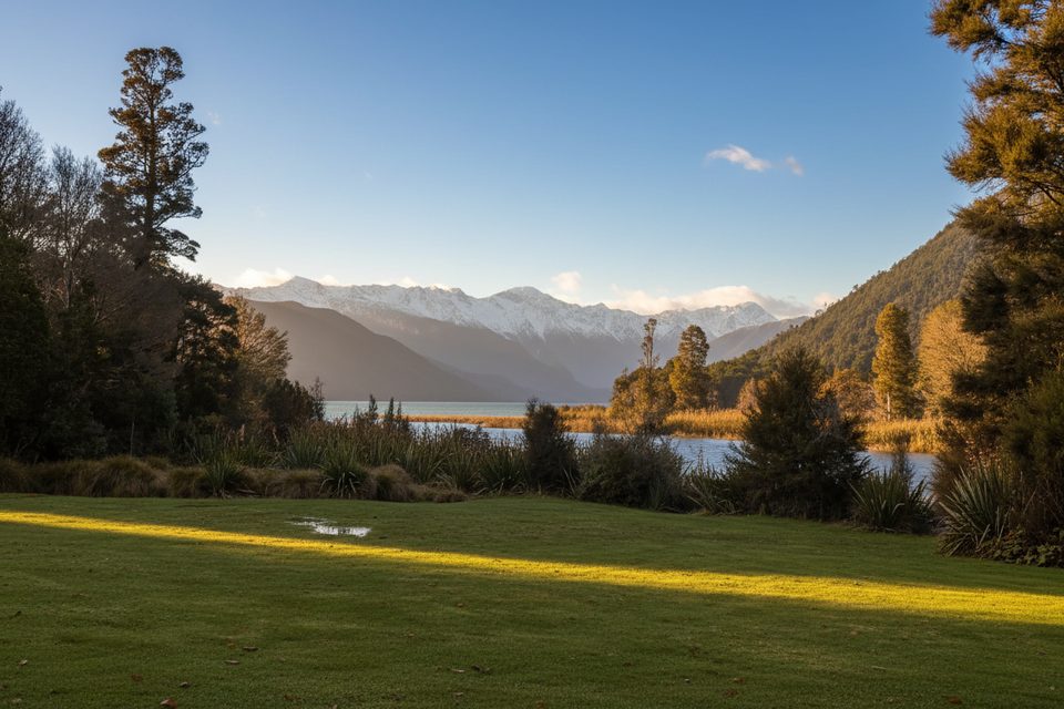
A short, satisfying loop through classic beech–podocarp forest to a fern-framed waterfall viewpoint. The official loop is about 1.6 miles (2.5 km) with roughly 150 m/500 ft of total ascent and typically takes 1.5–2 hours. Some walkers start from the Lake Rotoroa campsite instead of the Braeburn Road trailhead, which can bump the total to around 2.3–3.3 miles—plan your timing accordingly.
From the small car park on Braeburn Road (about 400 m west of the Gowan River bridge), the track begins on an old benched road—wide, smooth, and quick going—before narrowing to singletrack. A short, steeper zigzag spur climbs to the waterfall viewpoint; you’ll see the falls from a little distance rather than at the base, and scrambling down isn’t recommended. Rejoin the loop to amble back through lush forest; all stream crossings are bridged, including a small unnamed creek early on.
This is classic Nelson Lakes forest: black, mountain, and red beech with scattered podocarps like kahikatea, plus rimu and mātaī. The understory is thick with ferns and moss, and you’ll likely notice both juvenile and adult lancewood (they look surprisingly different). A distinctive grove of tree fuchsia forms a natural “avenue” on the easy early section. Birdlife is a highlight in this remnant forest—keep an ear out for tūī and watch for hefty kererū (New Zealand wood pigeons) and whitehead.
Year-round is fair game here. Summer brings the most sandflies and often the most wasps; shoulder seasons can be delightfully quiet with rich forest color and fewer bugs. For photos, mid‑morning or late afternoon gives softer light on the falls and the mossy beech trunks, and weekdays are typically quieter than weekends.
Small signed car park off Braeburn Road about 400 m west of the Gowan River bridge; alternate access from Lake Rotoroa campsite. No toilets at the Braeburn Walk car park.
Expect sandflies and seasonal wasps (Dec–Apr); steep zigzags on the falls spur; treat water; don’t touch pest-control traps; weather can change quickly.
Challenging
Challenging
Challenging
Moderate

Parkwolf Tour Guide