
Place · 0 mi away
Challenging
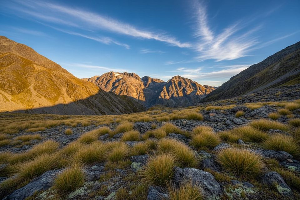
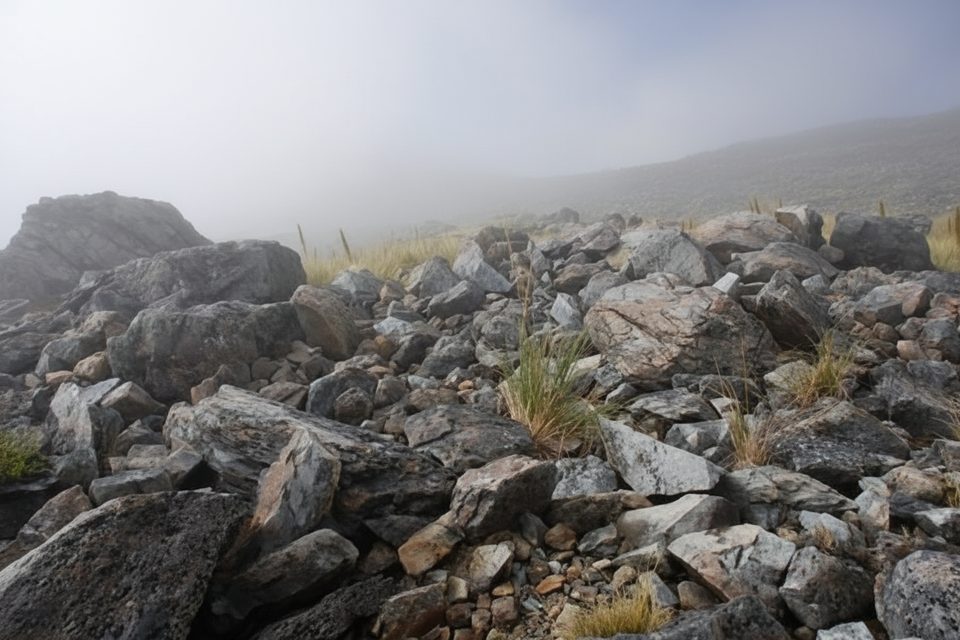
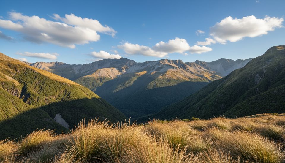
Poukirikiri/Travers Saddle is the high, committing heart of the Travers–Sabine Circuit. This isn’t a casual stroll—it’s an alpine crossing that rewards you with big valley-to-valley views, tussock flats, and a real sense of journey.
Most parties tackle the saddle as the Upper Travers Hut → West Sabine Hut day. Plan on 6–9 hours one way, with a steady ~450 m climb from the Travers side and a very steep ~1000 m descent into the Sabine. The broader Travers–Sabine Circuit is a challenging 4–6 day loop of roughly 80 km total; this saddle day is its crux.
It’s generally easier Travers → Sabine. The route is a tramping track standard with an alpine section over the pass; snow poles mark it from Upper Travers Hut to bushline on the Sabine side. Expect rapid weather shifts and genuine exposure—this day deserves respect.
Most reliable October–May, but winter snow can linger on alpine passes into late November, and freezing conditions are possible any time. If you don’t have snow/avalanche skills, the safer window is typically late December–March. Wasps are common January–April, and sandflies are persistent at lake level.
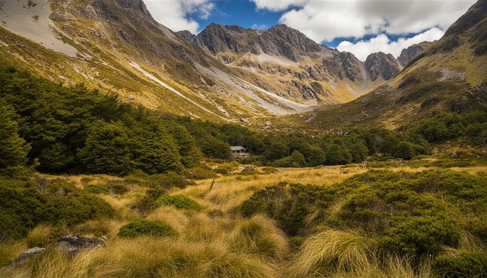
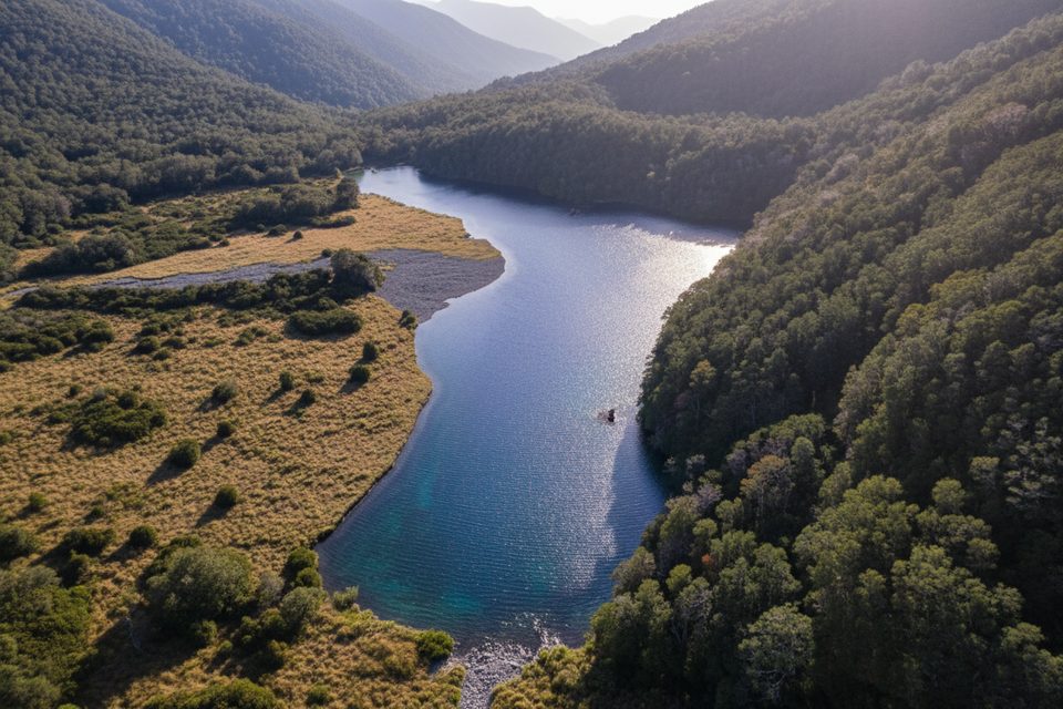
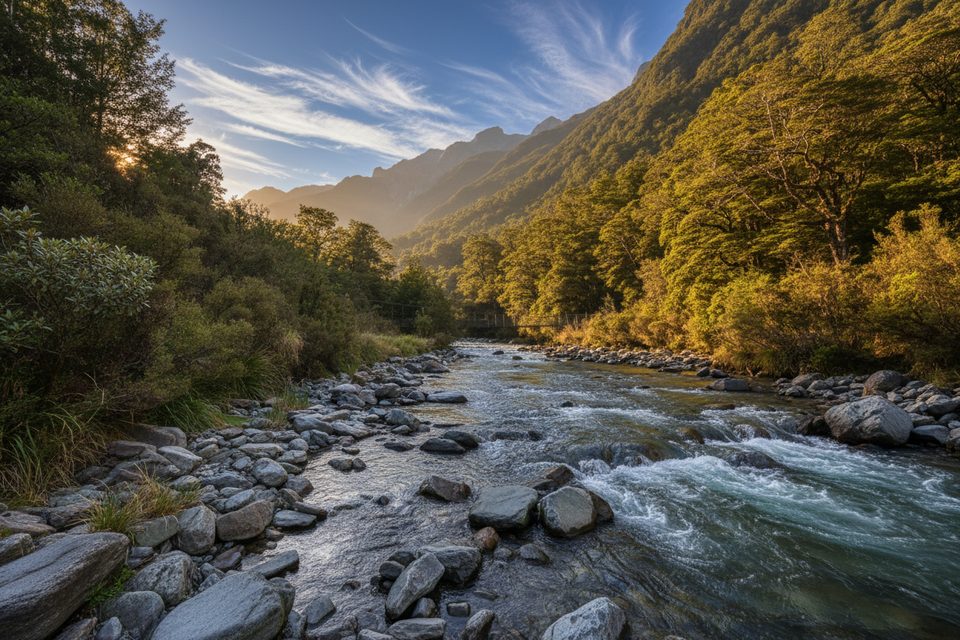
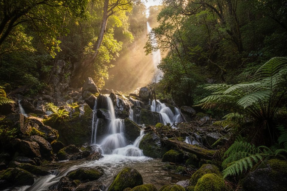
Forest and grassy river flats up the Travers, a short side detour to Travers Falls earlier in the trip, then open tussock near Upper Travers. Over the saddle you drop into the darker, steeper Sabine valley. From West Sabine, a superb side trip heads up-valley to Rotomairewhenua/Blue Lake—go if you can spare the time, but don’t swim or wash there.
There are 20+ avalanche paths on this circuit, and activity is most common June–October but can extend into December. In winter/spring you’ll need ice axe and crampons—and the skills to use them; consider transceiver, probe, and shovel when traveling in avalanche terrain. Carry a personal locator beacon; a mountain radio is a smart extra. Streams can become uncrossable after heavy rain. Practice strict hygiene in huts and treat water if unsure. Wasps can be intense (carry meds if allergic). Don’t leave valuables at isolated car parks; use the visitor centre’s bag storage.
Start from St Arnaud at Kerr Bay or West Bay; many take a Lake Rotoiti water taxi to shorten Day 1. Alternative finish at Mt Robert car park; avoid leaving valuables at isolated car parks.
Alpine pass with avalanche terrain; winter snow can linger into late November. Allow 6–9 hours, carry appropriate gear, and be ready to turn back. Wasps Jan–Apr; sandflies at lake level. The Rotoroa Route on Lake Rotoroa’s east side is permanently closed.
Place · 0 mi away
Place · 0 mi away
Place · 0.9 mi away
Place · 1 mi away
Challenging · 3.3 mi away
Challenging · 3.5 mi away
Moderate · 3.5 mi away
Easy · 14.8 mi away

Parkwolf Tour Guide
