Place
Moderate
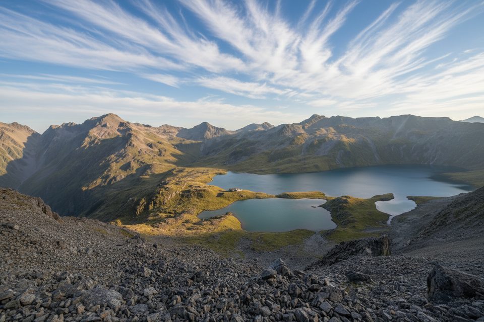
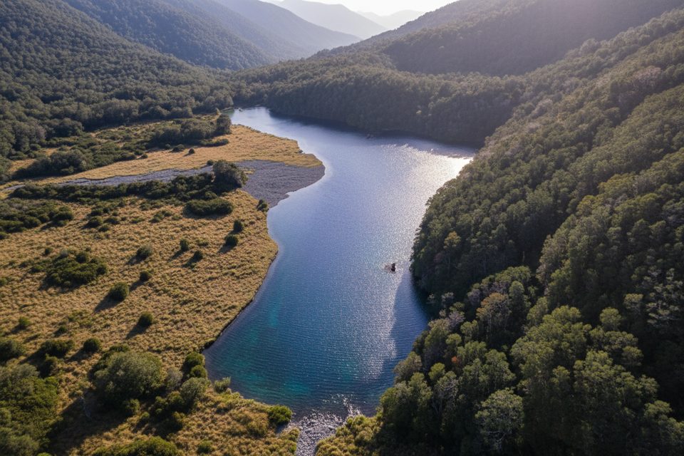
The D’Urville Track follows the D’Urville River through a big, quiet valley of beech forest and grassy river flats. Most people walk the valley section one way between D’Urville Hut and George Lyon Hut, with Morgan Hut roughly in the middle. Expect a true backcountry feel, a mix of easy flats and rougher, boggy patches, and very few crowds.
Plan on roughly 12 miles one way (about 19–19.5 km) for the D’Urville Hut → Morgan Hut → George Lyon Hut link. Typical moving time is 6–8 hours one way (DOC’s hut-to-hut times add to about 8 hours; fit parties often go 5.5–6.5 hours in good conditions). Although the valley only climbs about 600 m total (≈2,000 ft) with a modest net gain, the ups and downs, mud, and riverbank detours add effort.
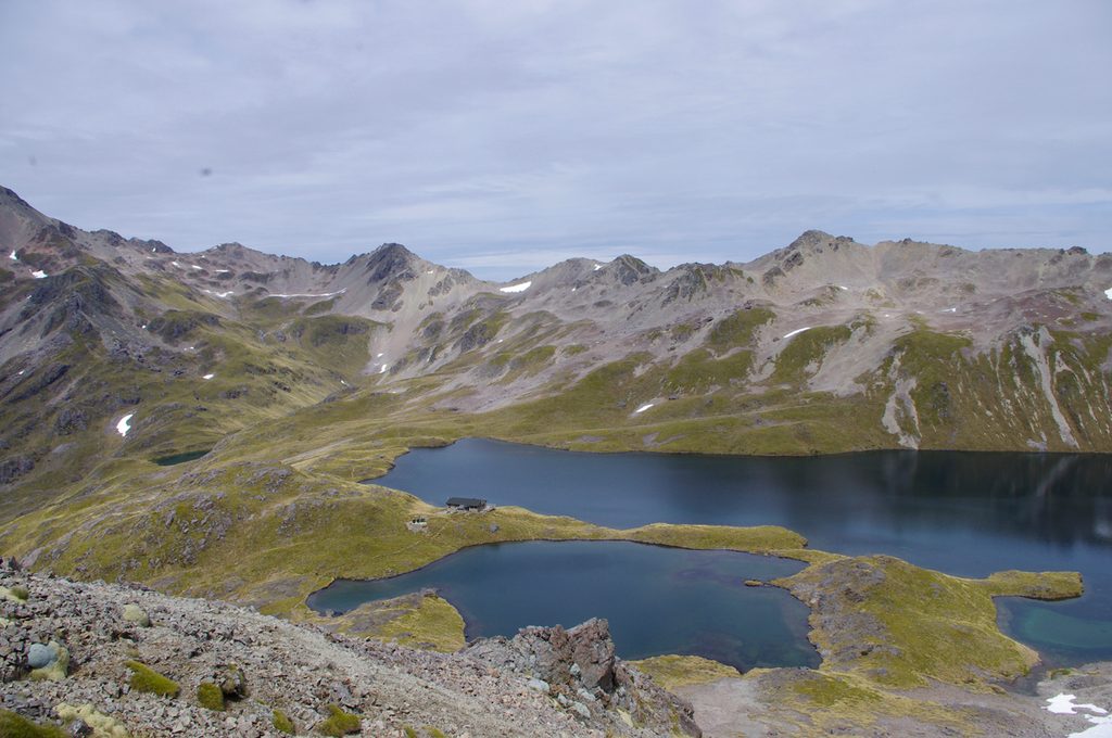
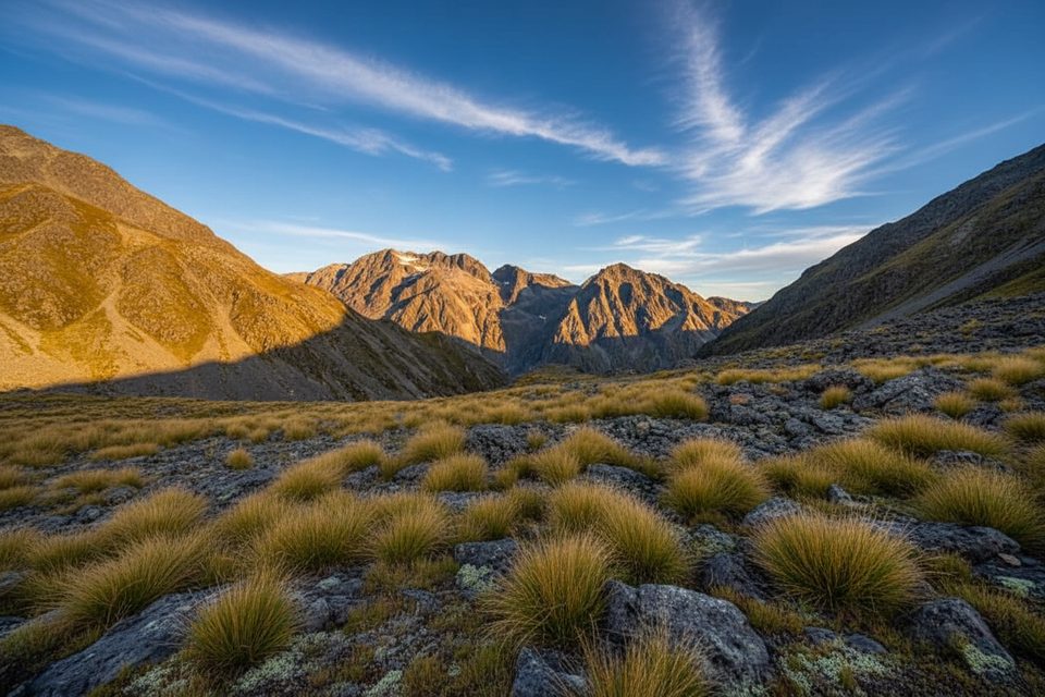
Lower down, travel is generally easy on long grass and beech-forest terraces with open sections and river views. Higher up the valley, the tread can narrow and get overgrown in places. If you extend beyond the valley track, big alpine views open from Moss Pass; the descent toward the Sabine is steep and rough with avalanche chutes and side streams. Birdlife includes robins, tomtits, and fantails. Wasps can be prevalent in warmer months.
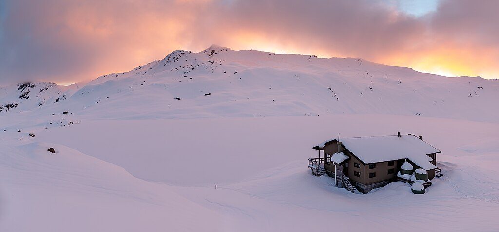
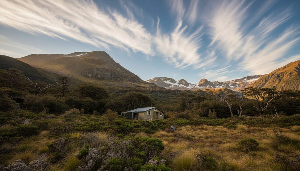
You’ll pass D’Urville Hut, Morgan Hut (nicely set in a grassy clearing with a broad porch), and George Lyon Hut (spacious but no heating). Standard backcountry hut fees apply; first-come, first-served. The valley also links to side routes like Tiraumea Saddle and Moss Pass if you’re building a longer trip.
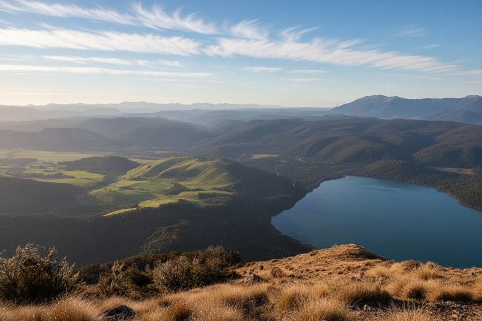
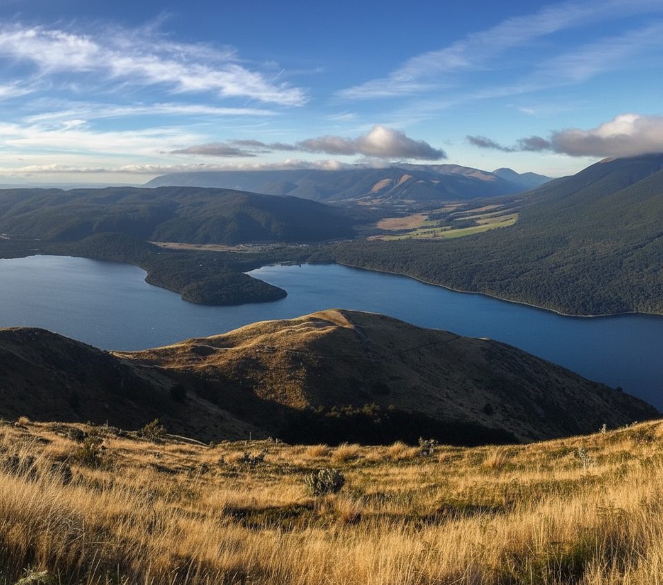
Many parties reach the lower trail end by arranging a Lake Rotoroa water taxi to D’Urville Hut; others link in on foot from the Sabine/Travers system. Note: the connector between Sabine Hut and D’Urville Hut has a removed bridge; you must ford a stream that’s around 1 m deep at normal flow and may be unsafe after rain. High water can also disrupt access logistics.
December through April usually offers the most reliable conditions. Even during holiday periods this valley sees fewer people than the neighboring Sabine, so it’s a strong pick if you value solitude. Pack for changeable alpine weather year-round.
If you want a bigger alpine hit, add Moss Pass; if you want an easier, busier valley, the Sabine is the more trafficked neighbor.
Most parties boat in: arrange a Lake Rotoroa water taxi to D’Urville Hut; if linking from Sabine/Travers huts, you’ll arrive on foot. Confirm parking with your water taxi operator.
Unbridged crossings (including a ~1 m ford on the Sabine–D’Urville link) can be unsafe after rain; wasps common; track can be overgrown, boggy, and rerouted by the river; follow biosecurity cleaning/drying steps for lake snow.
Challenging
Challenging
Challenging
Moderate

Parkwolf Tour Guide