Place
Moderate
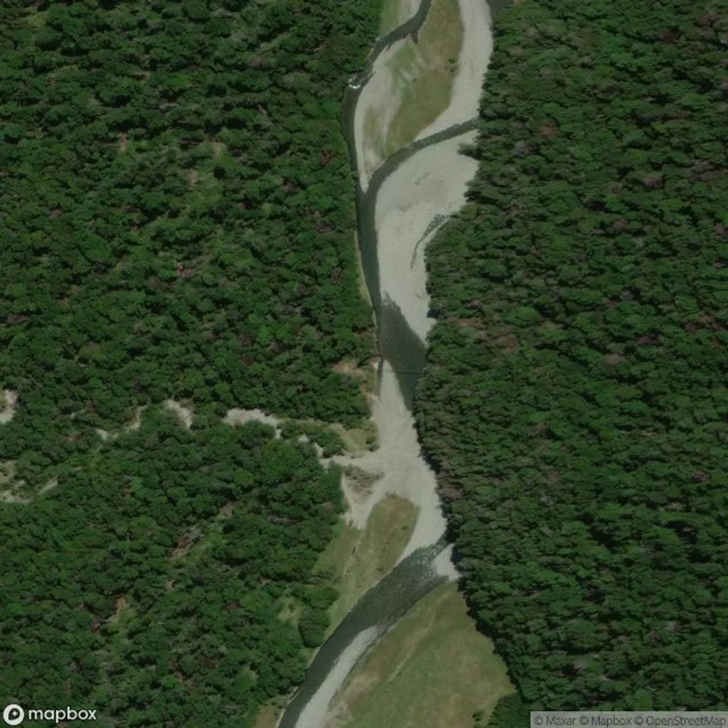
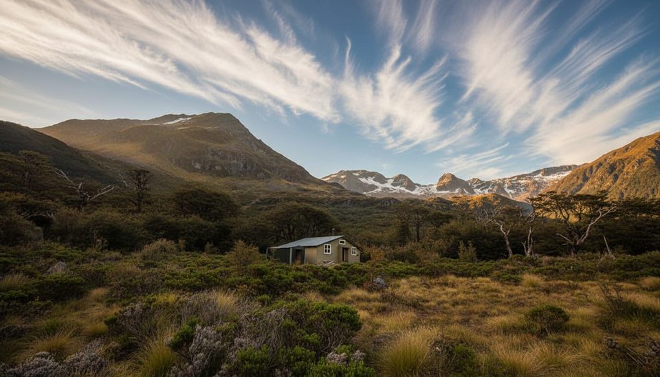
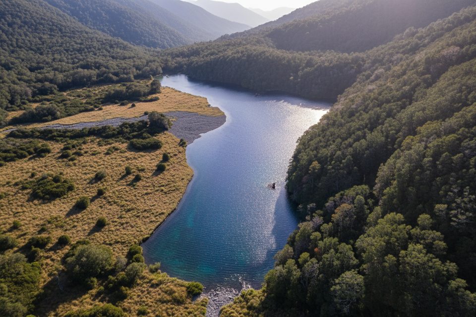
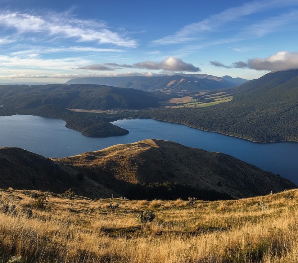
This valley-floor section of the Travers–Sabine route runs from the head of Lake Rotoiti (Lakehead/Coldwater area) up the Travers River to John Tait Hut. It’s also part of Te Araroa. Expect classic beech forest, broad grassy river flats shaped by early farming, and occasional peekaboo views to Mount Travers.
From Lakehead or Coldwater Hut, it’s about 8.7 miles (14 km) one way to John Tait Hut, typically 4.5 hours. The first 1.5 hours are easy going to a swing bridge—an ideal snack stop—after which the track keeps to the west (true left) bank. You’ll cross Hopeless Creek on another swing bridge, pass the signed junction to Hopeless Hut, then cruise a gentle final stretch to John Tait Hut in a grassy clearing beside the river.
This is generally easy walking on a well-marked tramping track with orange markers, mostly flat with mild undulations and roughly 200 m of ascent overall. Surfaces alternate between firm forest tread and open, sometimes damp river flats. The route is straightforward, but it can momentarily lose definition where terraces and flats braid—stay sharp for markers.
October through May usually offers the friendliest conditions. Freezing weather can still arrive any time of year, and after heavy rain some side streams may be unsafe despite many being bridged. Summer brings sandflies; from January to April, wasps can be active—cover up and carry repellent (and an antihistamine if you react to stings).
Start from St Arnaud/Kerr Bay and walk the Lakehead Track (~3 hours) to reach Lakehead Hut, or take a water taxi to the head of the lake (about 15 minutes from Lakehead Hut) to maximize time in the valley. Water is usually plentiful but treat, boil, or filter it. Keep up hut hygiene to avoid norovirus. A personal locator beacon is strongly recommended.
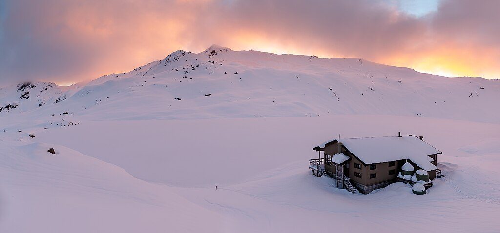
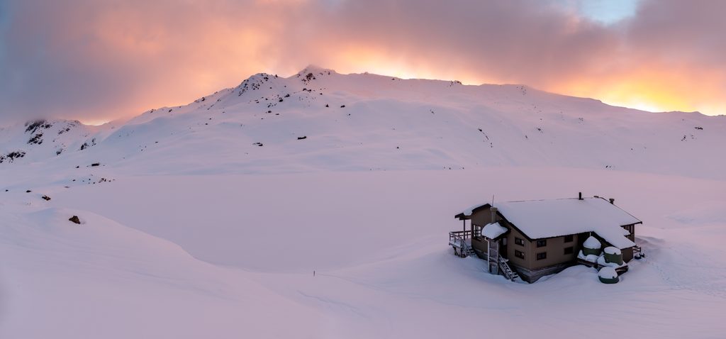
John Tait Hut sits below a large avalanche path—do not use the hut during storms or when snow reaches the valley floor. If you continue beyond John Tait toward Upper Travers, the gradient steepens and alpine hazards increase; plan accordingly.
Park at Kerr Bay in St Arnaud and walk the Lakehead Track (~3 hr) to Lakehead Hut, or use the water taxi to the head of Lake Rotoiti (about 15 min from Lakehead Hut).
Streams can be unsafe after heavy rain despite many bridges; wasps (Jan–Apr) and sandflies in summer; freezing conditions possible year-round; John Tait Hut lies under an avalanche path—avoid during storms or when snow reaches the valley floor.
Challenging
Challenging
Challenging
Moderate

Parkwolf Tour Guide