Place
Challenging
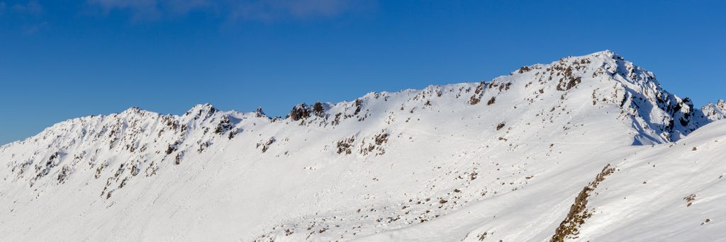
Starting from the Mt Robert (Pourangahau) carpark above Lake Rotoiti, this classic alpine ridge links the Pinchgut or Paddys Track to Robert Ridge and runs southwest to Rotomaninitua/Lake Angelus and Angelus Hut. Plan on roughly 7.6 miles one way (from carpark to hut) and about 6 hours in good summer conditions. Many hikers do it as a long out-and-back day or as part of an overnight to the hut, and some stitch it into a loop via Speargrass or Travers–Cascade.
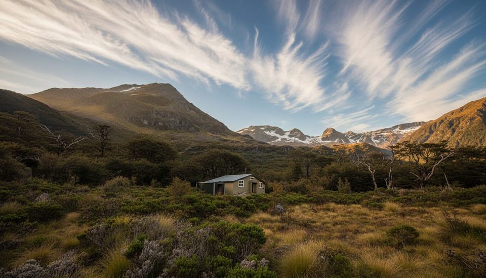
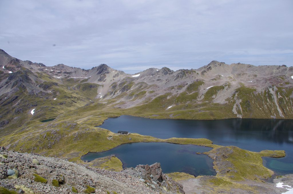
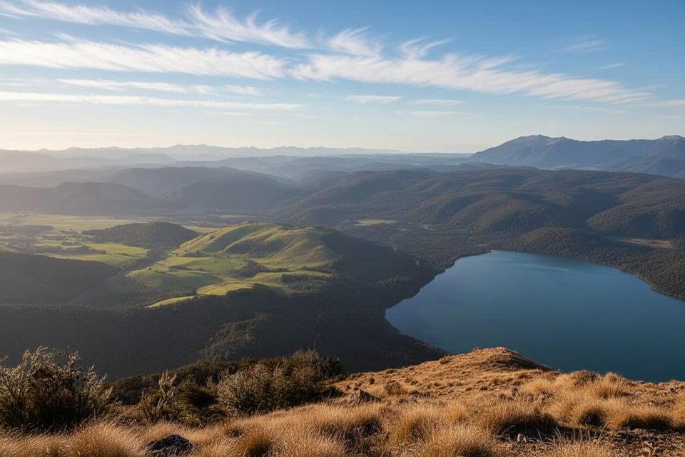
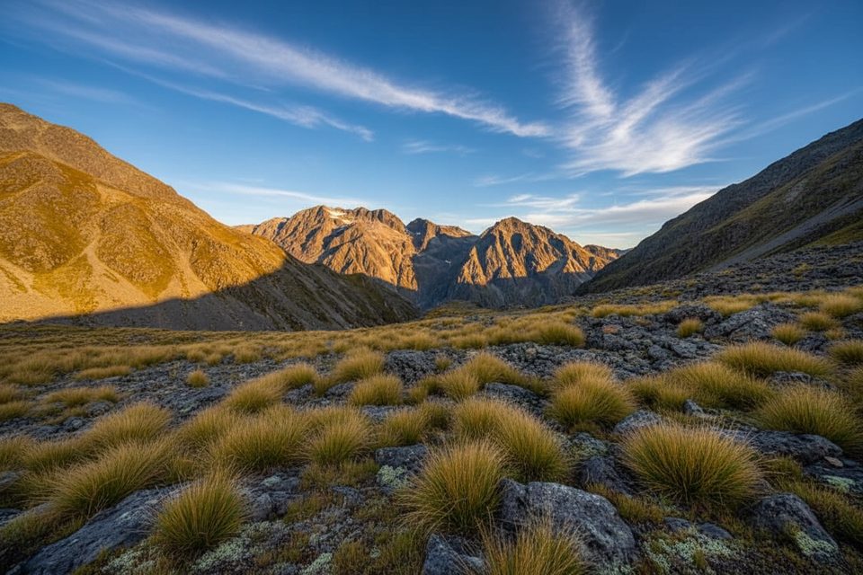
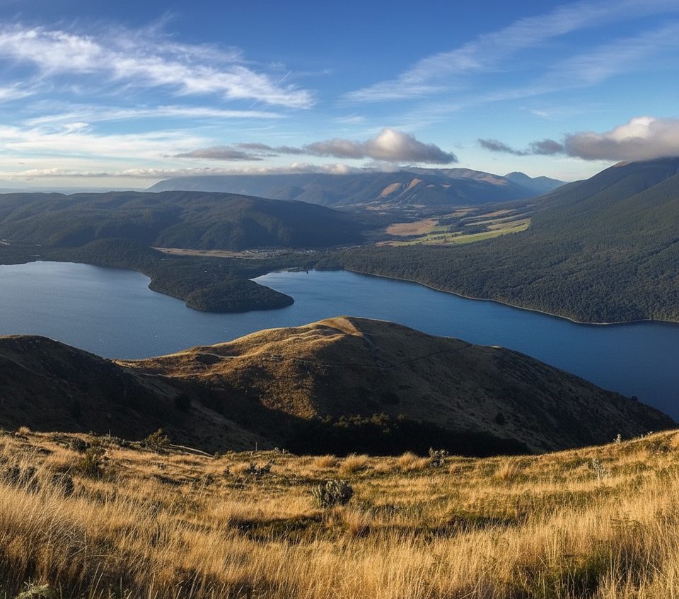
Once you break the treeline, it’s a long, rocky, undulating ridge with constant big-country views: Lake Rotoiti far below, five basins etched into the eastern slopes, and the headwaters that feed the lake. The high point just above Lake Angelus is the money view—blue tarn, basin, hut, and layers of peaks.
Don’t be fooled by the poled route—this is exposed country. Expect strong winds (the kind that can knock you off balance), fast-moving cloud, and stretches of rougher footing: gravelly sidles across rock-and-tussock slopes and short rocky steps where hands may help. There’s no water on the ridge, mobile reception is patchy (mostly on the ridge itself), and navigation becomes serious in whiteouts. Search-and-rescue callouts here aren’t rare, so treat conditions with respect.
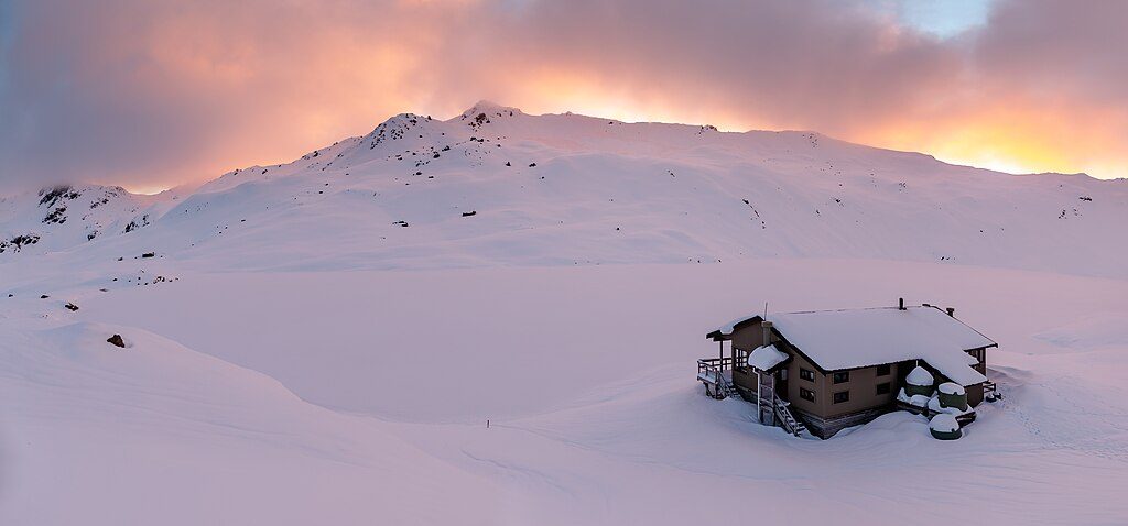
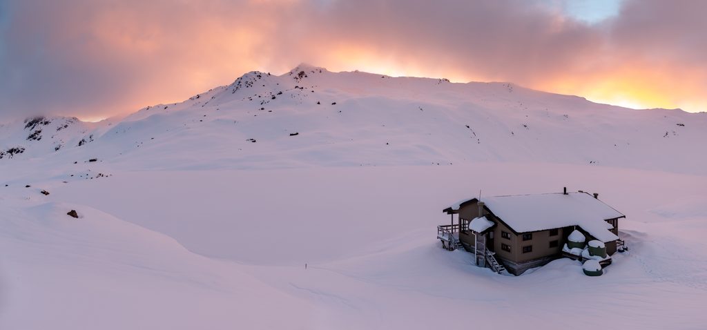
November–April is the friendliest window, but freezing winds and even snow can hit any time. May–October is a full winter proposition: snow and ice above the bushline, avalanche terrain, sub-zero windchill, and short days. In winter conditions, the one-way trip can stretch toward 9 hours, and avalanche hazard can linger into December.
Choose your ascent: Pinchgut is shorter and steeper; Paddys is longer but mellower. Start early, carry all your drinking water (none on-route), and pack layers for rapid swings—insulation plus a real waterproof. Essential kit: headlamp with spare batteries, map/compass or GPS, and a personal locator beacon. In winter or shoulder seasons you’ll need true alpine gear and skills (crampons, ice axe, avalanche transceiver, probe, shovel) and the judgment to turn back. Expect sandflies, and wasps are common January–April—bring repellent and consider antihistamines. Treat or boil any natural water you use. In winter, Angelus Hut can be buried in drifts, plumbing is off, and it can be very cold.
The straightforward play is out-and-back via Robert Ridge. Strong parties sometimes link a loop via Speargrass or Travers–Cascade, but know that Travers–Cascade is steep and can be treacherous when wet or icy. Check forecasts and local advice at the visitor centre before you commit.
Park at the Mt Robert (Pourangahau) carpark above Lake Rotoiti near St Arnaud; ascend via Pinchgut (shorter, steeper) or Paddys Track to gain the ridge.
Highly exposed alpine route with severe wind, sudden weather changes, no on‑route water, limited mobile reception, winter snow/ice and avalanche terrain; navigation can be difficult in cloud or whiteout.
Challenging
Challenging
Challenging
Moderate

Parkwolf Tour Guide