Place
Challenging
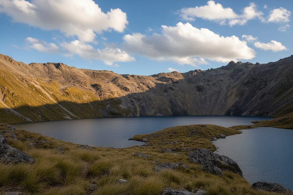
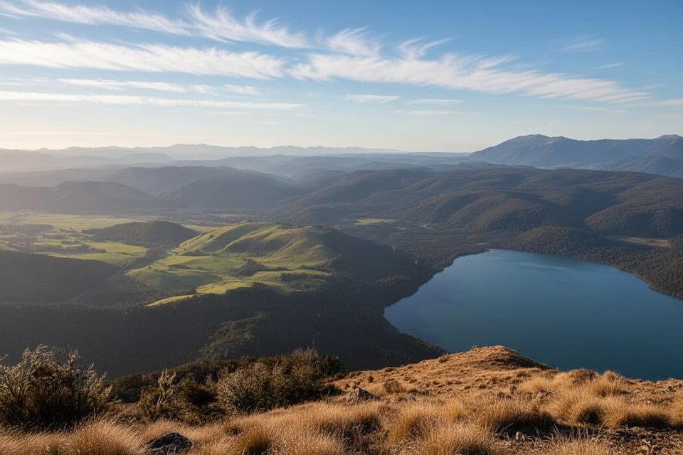
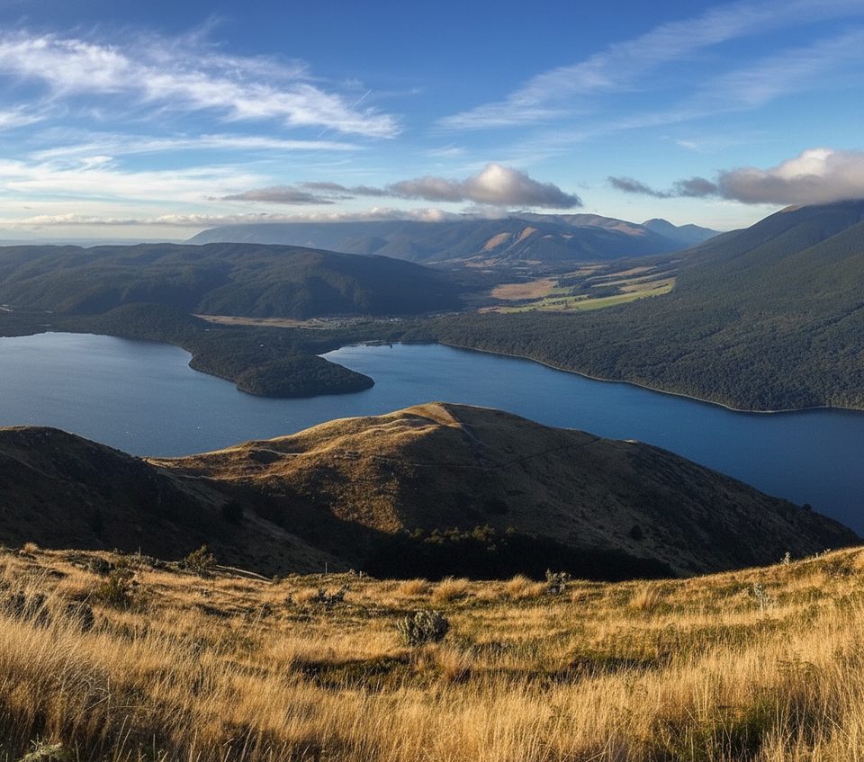
The Travers Valley Track is the classic up‑valley walk from the head of Lake Rotoiti to Upper Travers Hut, delivering that satisfying South Island progression from cool beech forest to wide, golden tussock flats under towering peaks. It’s about 11.2 miles one way (18 km) from Lakehead Hut to Upper Travers Hut, with roughly 7.5 hours of moving time. If you’re starting from St Arnaud, the lakeside approach to Lakehead Hut adds ~9.5 km each way, or you can shortcut by water taxi.
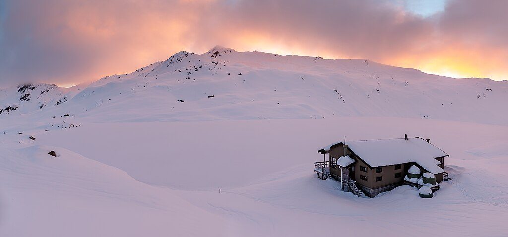
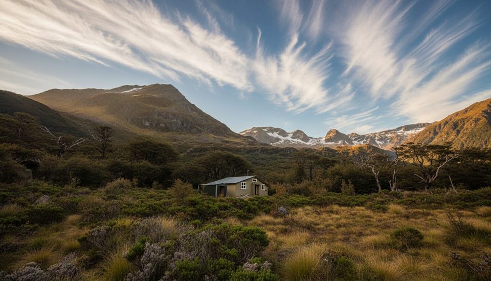
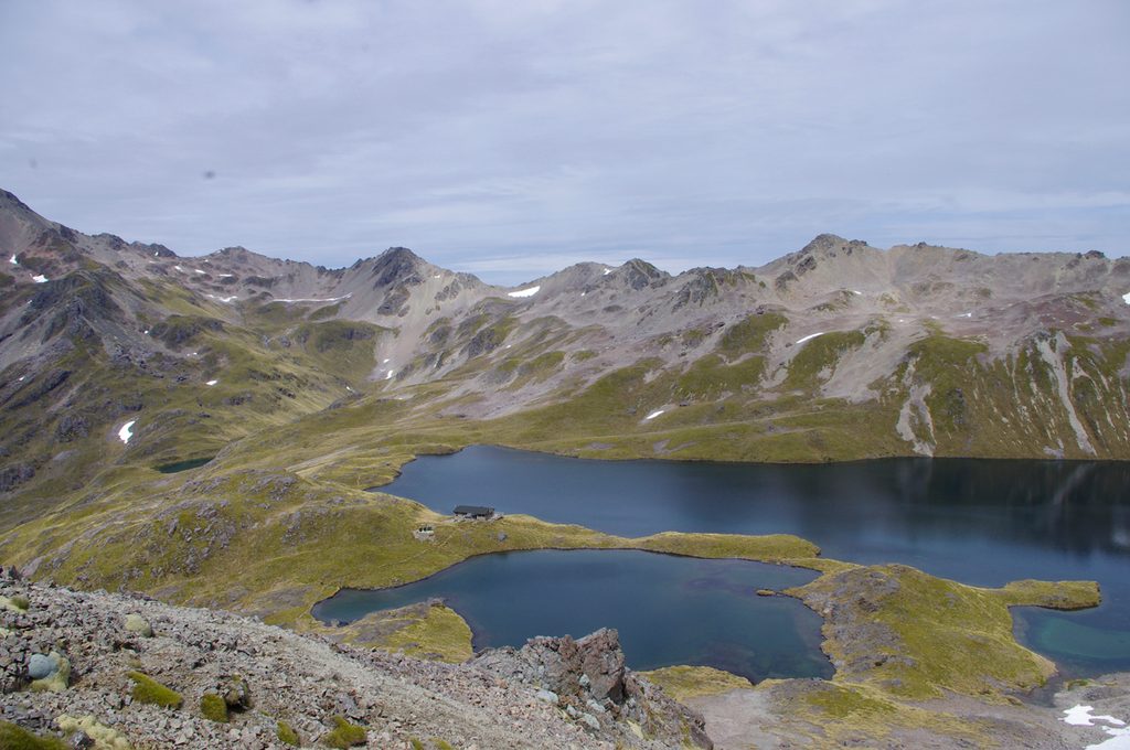
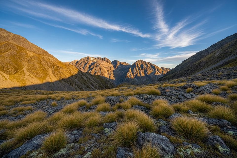
From the lake head the track follows easy river flats through beech forest and old clearings to John Tait Hut, with swing‑bridge crossings and occasional grassy terraces. Above John Tait, the grade stiffens: a short signed detour leads to 20 m Travers Falls, then the track climbs past scree and stunted forest to the broad tussock basin where Upper Travers Hut sits beneath Mt Travers. Many walkers stop here for the valley experience; continuing over Poukirikiri/Travers Saddle becomes an alpine undertaking with a much steeper descent on the far side.
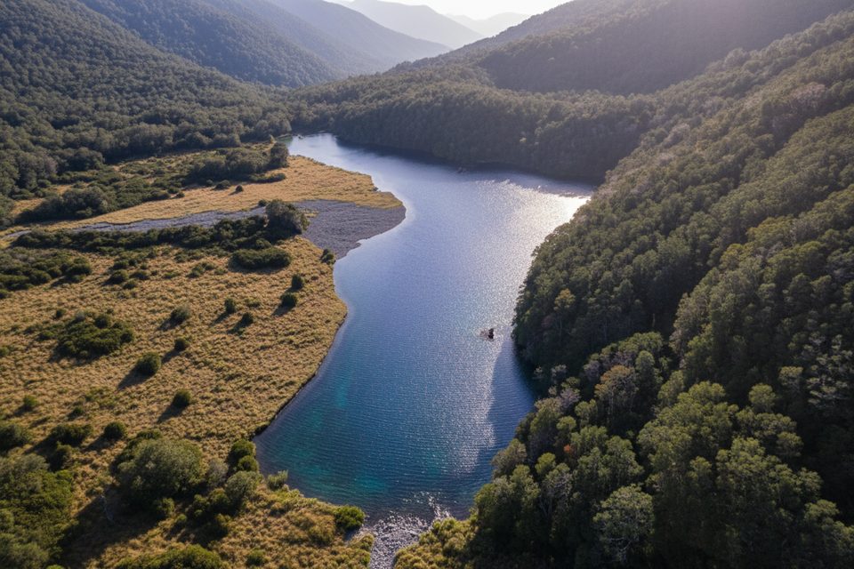
This valley gives you a “greatest hits” sampler: clear, rushing streams (look for trout in the transparent pools), miles of red/silver beech shifting to mountain beech, then shrubland and open tussock near bushline. The glaciated landforms are obvious—steep valley walls, scree fans, and a broad, flat‑floored upper basin—so it’s a naturalist’s field trip as much as a hike. Birdlife is a highlight in the forest (bellbirds, tūī, tomtits) with kea often encountered higher up.
Conditions are most reliable October through May. Expect lingering snow on alpine passes into late November some years, and freezing winds can hit anytime up high. Summer brings sandflies and, from about January to April, lots of wasps—come prepared. For photography, aim for early/late light on the upper tussock flats; forest sections are best on bright but overcast days.
Hut spacing makes pacing easy: Lakehead/Coldwater at the lake head, John Tait mid‑valley, and Upper Travers at the head of the basin. Upper Travers Hut requires advance booking year‑round; others may also be on the booking system—plan ahead in peak season. Many trampers ride the water taxi to the lake head to save time and legs at the start. If you intend to cross the saddle, go clockwise (up the Travers, down the Sabine) for the friendlier ascent. Treat or boil drinking water if in doubt, and fill in hut books when you stay.
This is a tramping track with hazards that demand respect: heavy rain can make side streams unsafe; freezing conditions are possible any time near the saddle; and avalanches occur annually, with more than 20 recognized paths in the wider circuit. Do not linger between avalanche warning signs, and avoid John Tait Hut during storms or when snow reaches the valley floor. In summer, carry insect repellent and consider antihistamines for wasps.
Park at St Arnaud in the Kerr Bay or West Bay areas; many hikers then take a water taxi to the head of Lake Rotoiti to begin the valley section.
Alpine weather can turn freezing any time; heavy rain can make streams dangerous; multiple avalanche paths affect the area—do not linger between signs, and avoid John Tait Hut during storms or when snow reaches the valley floor; high wasp activity Jan–Apr and sandflies in summer.
Challenging
Challenging
Challenging
Moderate

Parkwolf Tour Guide