
Place · 0 mi away
Challenging
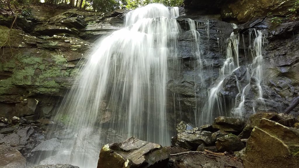
Kate's Falls Trail is a short, hiking-only spur that drops steeply to the base of Kate’s Falls. It’s just 0.2 miles one way (0.4 miles total out-and-back), but it earns its “strenuous” label with rocky, slick footing and a quick loss of elevation. Most of your day is actually the approach on Glade Creek Trail; the spur is the punchy finale to a creekside walk of cascades and footbridges.
You reach the spur from Glade Creek Trail:
The lower access road is long gravel but generally manageable for most vehicles. The upper road is steep, narrow, and unpaved; high-clearance 4WD is typically recommended.
Glade Creek is the star: clear water sliding over ledges, small cascades, photogenic footbridges, and classic Appalachian greenery—mosses, ferns, and tunnels of rhododendron. Swimming holes dot the creek in warmer months. Kate’s Falls itself can be an impressive sheet after storms, but in dry spells it may shrink to a trickle, so time your visit if the waterfall is the goal.
There’s a partial washout on Glade Creek Trail near the start of the spur that can be impassable at high water. Do not force a crossing; retreat if flows are up. Expect mud and bugs in warm weather, and slick rock on the spur. Do not climb around the waterfall or follow steep, unstable social paths—falls here can be serious. Reports of vehicle break-ins exist at area trailheads; leave nothing valuable in your car.
Leashed dogs are allowed on the approach, but the spur’s steep, rocky footing can be tough for some pups. Trekking poles help most hikers on the descent and climb back out.
Go after recent rain for the best waterfall flow, but avoid or delay your trip during high water when the washout can block safe access. Spring and fall offer cooler temps and lively water; summer can be hot, buggy, and sometimes low-flow. Start early for shade along the creek and to give yourself turnaround time if conditions aren’t right.
If you love creek walking and don’t mind that the waterfall is flow-dependent, this is a rewarding, quieter corner of the park. If you only want a sure-thing waterfall payoff, aim for wetter weather—or consider other waterfall options when conditions are dry.
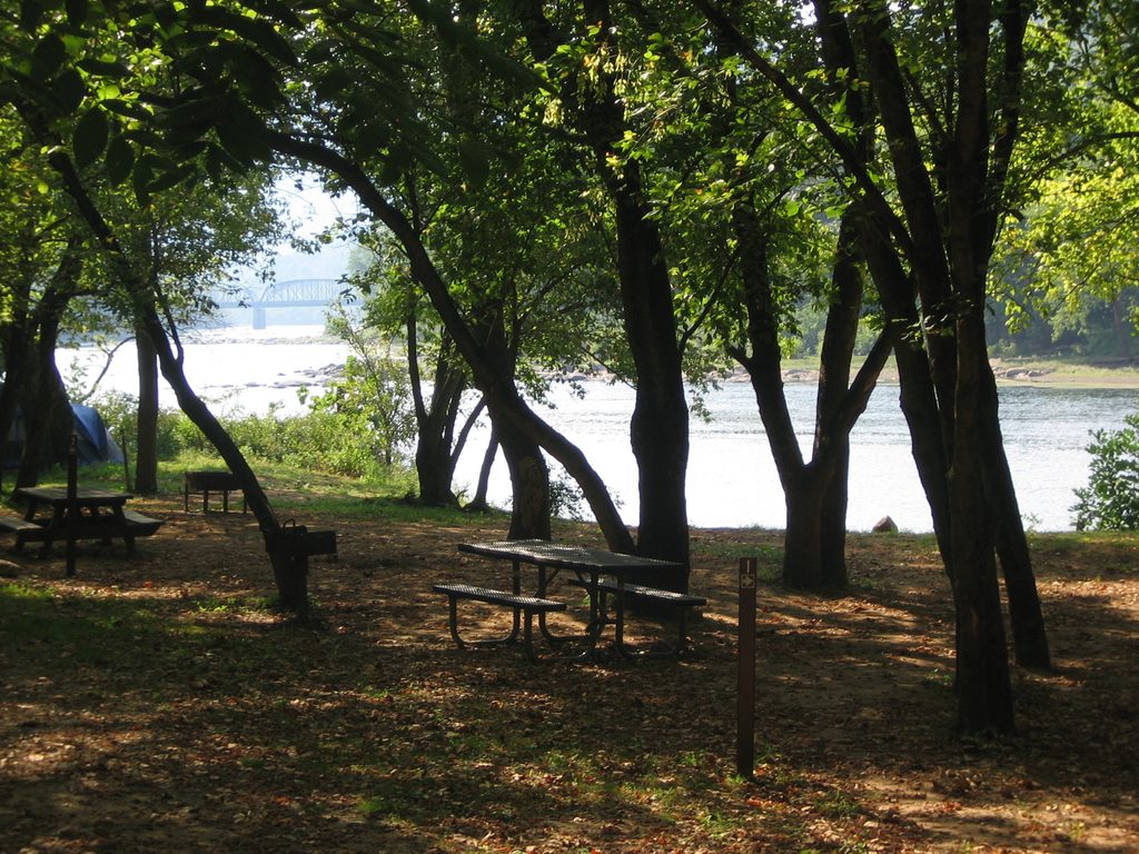
Park at Glade Creek Campground (lower trailhead) for the longer but easier approach, or at the upper Glade Creek trailhead off a steep, narrow gravel road (high-clearance 4WD recommended). The access road is single-lane in places—drive slowly and yield as needed.
Partial washout near the spur can be impassable at high water; rocks are slick; mud and bugs common in warm months; do not scramble around the falls; remove valuables from vehicles.
Place · 0 mi away
Place · 0.3 mi away
Place · 0.4 mi away

Place · 0.6 mi away
Challenging · 1.6 mi away
Easy · 1.7 mi away
Moderate · 1.7 mi away
Moderate · 1.7 mi away

Parkwolf Tour Guide
