Little Laurel Trail in New River Gorge National Park

New River Gorge National Park, WV

Little Laurel Trail

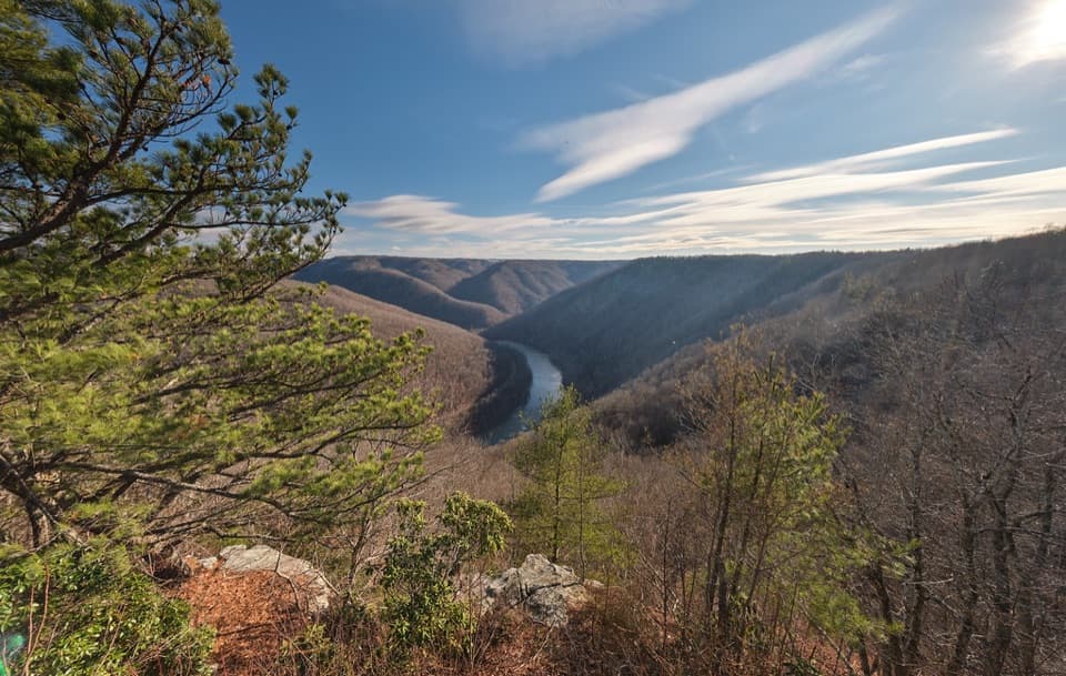
An old road drops from Grandview toward Royal's coal-town remains.

Photo: National Park Service
Length
2.6mi
Time
2hr
Elev. change
1,283ft
Difficulty
Challenging
  • Dogs allowed
  • High point 2,470 ft

Hear the audio tour

Grandview Picnic Grounds

Overview

About Little Laurel Trail

Why go

  • An old-road descent with spring wildflowers and better river views after leaf-fall.

Heads up

  • Point-to-point logistics; retracing adds a steep climb back to Grandview.

Map & elevation

The route

Loading the New River Gorge map
Full map
Elevation1,188–2,470 ft
TrailheadLittle Laurel Trailhead near Picnic Shelter #4, Grandview37.83748, -81.06994
Keep this map with you offline in the Parkwolf app

Plan your hike

Before you go

Parking

For the upper start, use the parking area for picnic Shelters #3 and #4 at Grandview. The lower access is an unmarked gate about a quarter mile along the gravel road toward Glade Creek/Royal; arrange pickup and do not block it. No public parking area at the lower end was identified.

Safety

The route drops about 1,400 feet and is steep in places on crushed rock. Hiking it uphill or retracing it to Grandview takes substantially more effort. Use daylight and keep the lower gate clear for park staff.

5 active New River Gorge alerts

  • ClosureRend and Church Loop trails closedRend Trail is closed from both trailheads through approximately December 2027; Church Loop Trail is also closed because its only access is from Rend.Official details
  • ClosureKaymoor Miners Trail weekday closureThe upper Kaymoor Miners Trail is closed Monday–Thursday through November 19 for trail rehabilitation.Official details
See all 5 alerts
A park ranger sits on a dash-mounted phone, talking, as Parkwolf’s Tour Guide plays “Army Cutworm Moths: A Grizzly Bear Buffet” on Grand Loop Road below Dunraven Pass in Yellowstone
Parkwolf Tour GuideThe highest, rockiest slopes around here are a summer buffet for grizzly bears.

New River Gorge Tour Guide

Your drive to Little Laurel Trail, narrated.

Parkwolf is a GPS audio tour guide for New River Gorge National Park. As you drive, it chimes in with what’s ahead: hidden gems, upcoming stops, history, geology, and wildlife, right through your car’s speakers.

See the New River Gorge audio tour

Recorded for this trailhead

Grandview Picnic Grounds
0:00 / 0:32
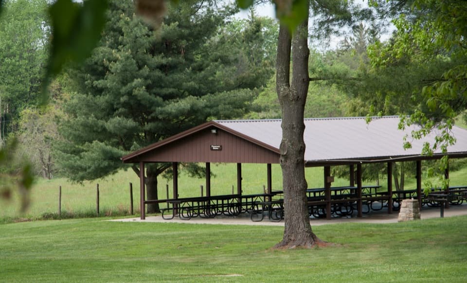
“You're nearing Grandview's picnic grounds, a useful place to stop for a meal you've brought along. Check the shelter number if you're meeting a group: the picnic facilities spread across two separate clusters.”

Plays as you drive up to this trailhead in the Parkwolf New River Gorge Tour Guide.

More stories near here in the app

  • Grandview Main Overlook
  • The Insect in a Pebble Case
  • Turkey Spur's Wooden Platforms
  • The Beaver’s Orange Teeth
  • 92 audio storiesacross New River Gorge’s roads, triggered by GPS as you drive
  • Wildlife heatmapsfor Black Bear, White-tailed Deer, Pileated Woodpecker, and 13 more
  • Works offlinemaps, 49 trails, 55 places, and audio download before you lose signal
  • CarPlay readysimple controls built for the drive
★★★★★
“Fantastic app with many points of information… It’s great to just turn on while you’re driving and it gives you an audio tour of the national Park. We love it!!!!”
JMJamesApp Store review
Download Parkwolf on the App StoreGet Parkwolf on Google Play

4.7 from 8,600+ ratings

Trail guide

Hiking Little Laurel Trail

A steep one-way walkLittle Laurel Trail is a 2.

Little Laurel Trail is a 2.6-mile point-to-point route from Grandview down to the Glade Creek Road end near the New River. It follows an old maintenance road and drops about 1,400 feet. Allow around two hours one way; this is a strenuous hike, especially from the lower end uphill. Arrange a pickup at the bottom. Retracing the trail makes a 5.2-mile outing with the full climb back to Grandview.

Down the old roadThe signed upper trailhead is just past Picnic Shelter 4.

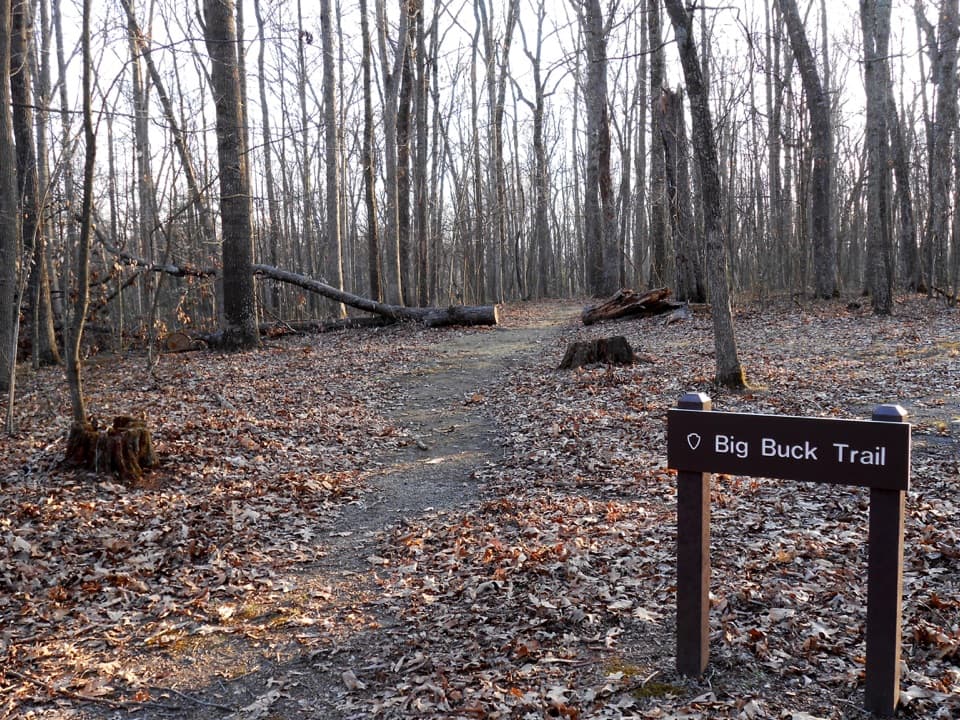
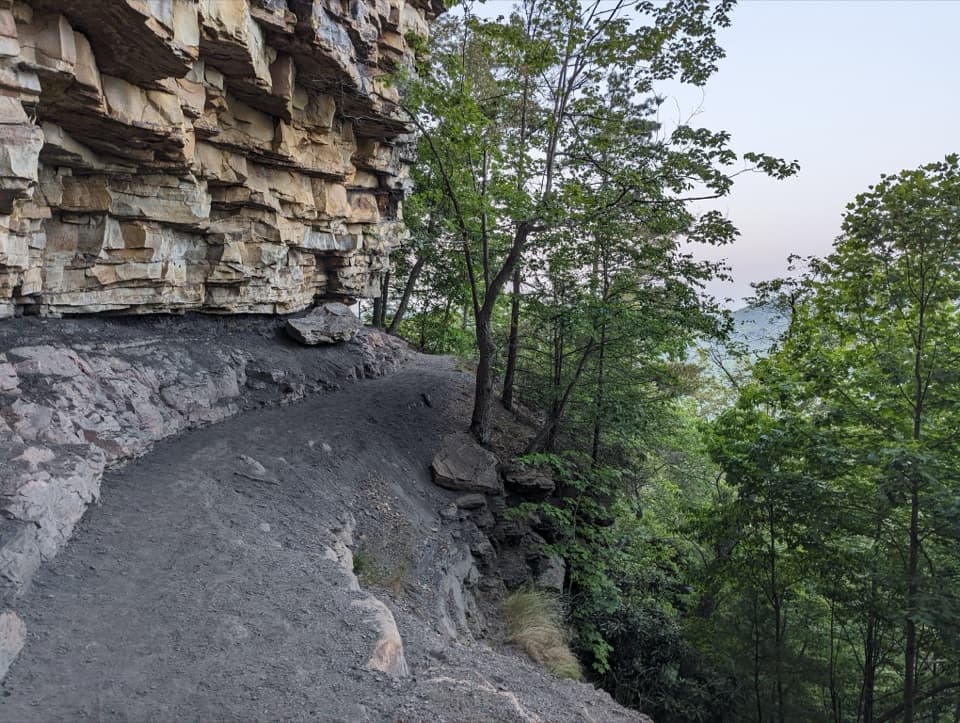
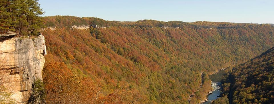
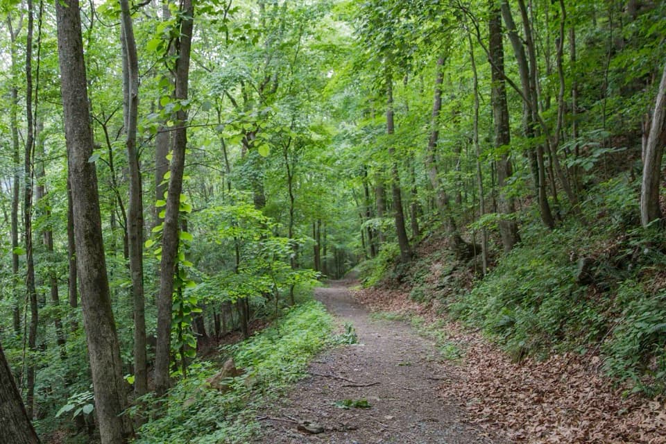
The signed upper trailhead is just past Picnic Shelter #4. The crushed-rock path descends through forest, steeply in places. Summer leaves shade much of the route; river views are more likely after the canopy thins in late fall and winter. Spring wildflowers are another reason to do it, helped by the sharp change in elevation.

At the lower endThe trail reaches an unmarked gate on a gravel road near Royal, an old coal town with scattered…

The trail reaches an unmarked gate on a gravel road near Royal, an old coal town with scattered foundations and the site of a former mine. The gate and road remain in park use, so keep them clear. The mapped trail ends at the road; don't count on it as a documented riverbank access.

Plan the pickupStart from the parking area for picnic Shelters 3 and 4 at Grandview, and arrange transport at…

Start from the parking area for picnic Shelters #3 and #4 at Grandview, and arrange transport at the lower access; public parking there isn't identified. Use daylight, as advised for this steep route. Dogs are allowed on a leash no longer than six feet.

Wildlife

Wildlife in New River Gorge

All New River Gorge wildlife maps

Sighting maps show where each species has been reported across New River Gorge. Wildlife moves, so no sighting is guaranteed.

Keep exploring

Near Little Laurel Trail

See it all on the map

Trails that start nearby

Places near the trailhead

Parkwolf’s New River Gorge ranking

Top-rated trails in New River Gorge

All 49 trails
  1. 1Endless Wall TrailModerate · 2.4 mi
  2. 2Long Point TrailModerate · 3.2 mi
  3. 3Grandview Rim TrailModerate · 3.2 mi
  4. 4Sandstone Falls BoardwalkEasy · 0.5 mi
  5. 5Castle Rock TrailChallenging · 0.6 mi
  6. 6Grandview Rim LoopModerate · 3 mi

Take Parkwolf to New River Gorge.

The audio tour guide for the drive, plus offline maps, trails, and wildlife heatmaps for when the signal drops.

4.7 from 8,600+ ratings

Download Parkwolf on the App StoreGet Parkwolf on Google Play