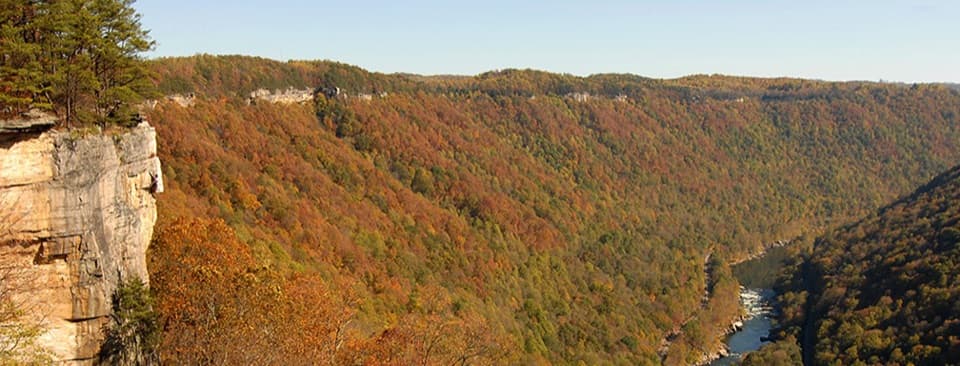
Parking
Park in the Grandview Main Parking area by Main Overlook; the Castle Rock start is just left of the overlook approach. Restrooms are at Main Parking.
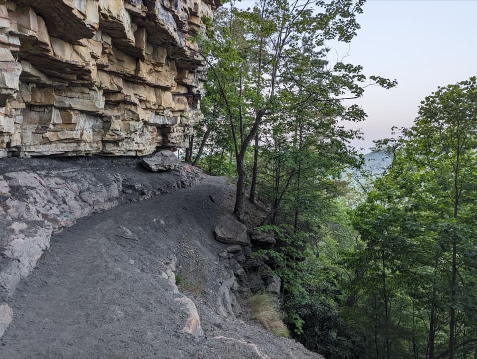
#5 of 49 trails in New River Gorge
New River Gorge National Park, WV
Walk beneath layered walls and exposed coal along a strenuous gorge path.
Overview
Map & elevation
Plan your hike

The highest, rockiest slopes around here are a summer buffet for grizzly bears.
New River Gorge Tour Guide
Parkwolf is a GPS audio tour guide for New River Gorge National Park. As you drive, it chimes in with what’s ahead: hidden gems, upcoming stops, history, geology, and wildlife, right through your car’s speakers.
See the New River Gorge audio tourRecorded for this trailhead
Grandview Main Overlook“Up ahead is Grandview, where a short walk from the main parking area reaches a broad horseshoe bend in the New River. The overlook stands about fourteen hundred feet above the water.”
Plays as you drive up to this trailhead in the Parkwolf New River Gorge Tour Guide.
More stories near here in the app
“Fantastic app with many points of information… It’s great to just turn on while you’re driving and it gives you an audio tour of the national Park. We love it!!!!”


Trail guide
Castle Rock Trail is a strenuous 0.6-mile, one-way point-to-point route from near Grandview Main Overlook to its junction with Grandview Rim Trail. It runs beneath high rock walls and passes an exposed coal seam; the payoff is close-up geology, not a summit. Allow 30 to 60 minutes for this segment, longer if you stop to study the rock. This is not a loop: turn left at the junction to return on Grandview Rim to Main Parking. The short circuit is described as about 1 to 1.1 miles total; turning right adds the longer route toward Turkey Spur.
The route drops quickly from the overlook on dirt and rock, with uneven stone steps, roots, and short stretches where you may need to scramble over larger blocks. The trail is only about three feet wide in places, and the gorge falls away beside it. It rises and dips under the cliffs before turning up a brushy ravine to meet Grandview Rim. Watch your footing through the rocky sections and take your time near the edge; the park does not recommend this hike for young children. Wet rock is very slippery, and rain, snow, or ice make the route a poor choice.
The cliff is close enough to inspect as you walk. Look for bands of conglomerate, shale, sandstone, and limestone, then watch for the dark coal seam about 0.4 mile along the Castle Rock segment. It is one of the route’s most distinctive details and gives the walk a geology focus that the short distance alone does not suggest. There is no need to leave the established path to get a closer look.
At the starting overlook, the New River lies far below the rim. On Castle Rock, openings through the trees give glimpses into the gorge while the layered wall crowds the other side of the narrow path. Some sightlines may be screened by vegetation or protective fencing, so treat the walk as a close look at the cliff as much as a broad-view hike. For a photo, frame a stretch of trail beneath the rock layers and leave the wooded slope in the picture for scale; the coal seam makes a useful detail shot farther along.
Park in the Grandview Main Parking area by Main Overlook; the Castle Rock start is just to the left of the overlook approach. Restrooms are at Main Parking, with picnic facilities and drinking water in the nearby visitor-center area. No food stop is listed on the trail. Dogs are allowed on a leash no longer than six feet. No entrance fee or reservation is required for this hike. If you want a straightforward return, take the left branch onto Grandview Rim at the junction and follow it back toward the overlook and parking area.
Wildlife
 18 sightingsBlack BearMost seen around 7 PMSighting map
 126 sightingsWhite-tailed DeerMost seen around 6 AMSighting map
 25 sightingsPileated WoodpeckerMost seen around 8 AMSighting map
 15 sightingsBarred OwlMost seen around 7 PMSighting map
 14 sightingsWild TurkeyMost seen around 6 AMSighting map
 58 sightingsCopperheadMost seen around 7 PMSighting map
Sighting maps show where each species has been reported across New River Gorge. Wildlife moves, so no sighting is guaranteed.
Keep exploring
 ModerateGrandview Rim Trail3.2 mi · 2 hr · At the trailheadA wooded 1.6-mile route between two overlooks, with hills near Turkey Spur.
 ModerateTunnel Trail0.5 mi · 30 min · At the trailheadA short, shady walk beneath Grandview’s broad sandstone overhang.
 EasyWoodland Loop Trail0.6 mi · 18 min · 0.5 mi awayAn easy forest loop from Grandview Shelter #2.
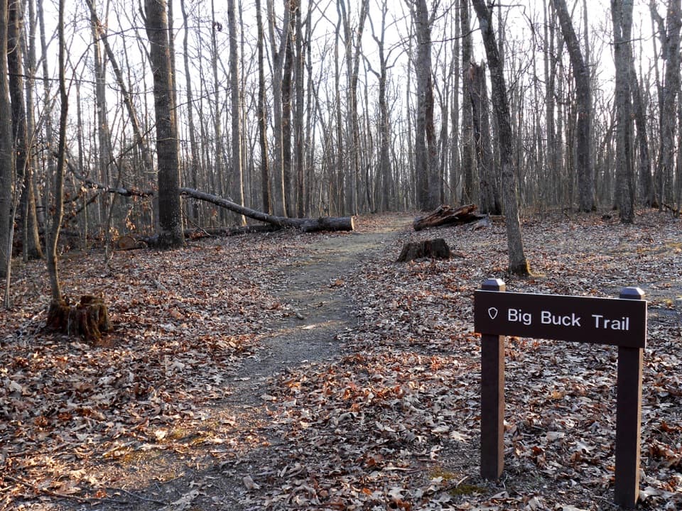 EasyBig Buck Trail0.9 mi · 30 min · 0.6 mi awayAn easy loop through Appalachian forest, with tree signs along the way.
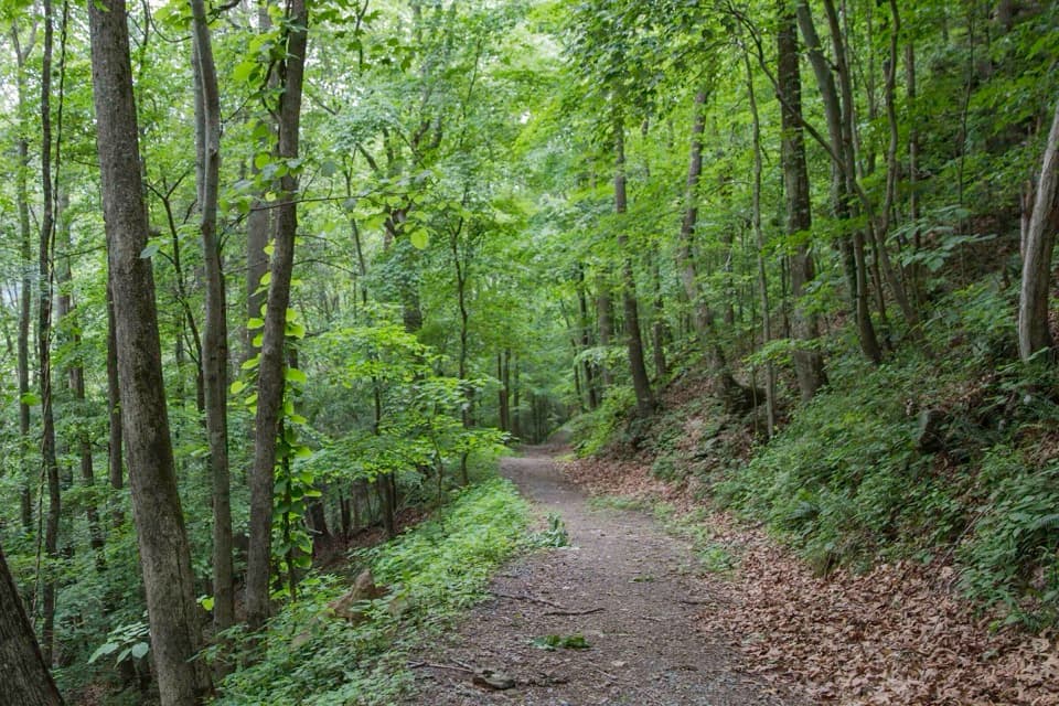 ChallengingLittle Laurel Trail2.6 mi · 2 hr · 0.6 mi awayAn old road drops from Grandview toward Royal's coal-town remains.ModerateGrandview Rim Loop3 mi · 2.5 hr · 1.2 mi awayRiver views, exposed coal seams, and a rocky loop back.
 ModerateTerry Top Trail3.4 mi · 2 hr · 2.8 mi awayA quiet ridge walk ending at a nineteenth-century family cemetery.
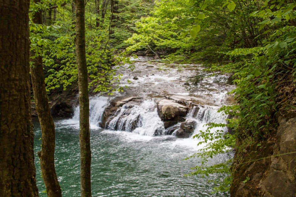 ModerateGlade Creek Trail5.6 mi · 2.5 hr · 2.8 mi awayA gentle rail grade keeps you beside cascades most of the way.
 Sight · At the trailheadGrandview Main OverlookSeven miles of river and gorge from one short overlook.
 Visitor center · 0.1 mi awayGrandview Visitor CenterMaps, a small shop, and a walk to a seven-mile river view.
 Sight · 0.2 mi awayCliffside AmphitheaterA 1,200-seat stage for live summer drama at Grandview.
 Sight · 0.3 mi awayNorth OverlookA river bend framed by Grandview’s flowering rhododendrons.
 Sight · 0.6 mi awayMill Creek River AccessA simple launch where Mill Creek meets the New River.
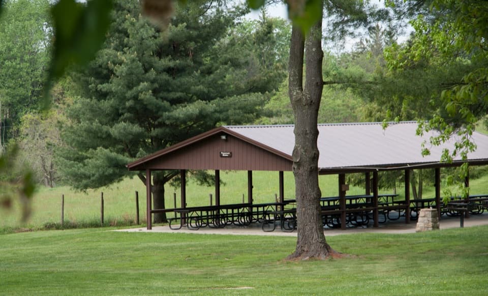 Picnic area · 0.6 mi awayGrandview Picnic AreaA meal stop among Grandview’s picnic shelters, playgrounds and trails.
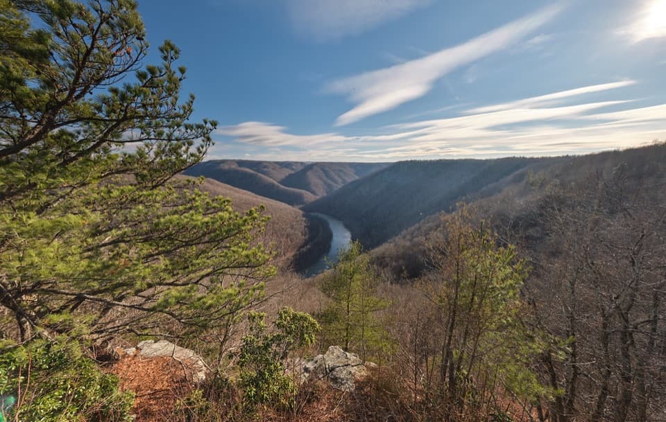 Sight · 1.2 mi awayTurkey Spur OverlookA steep staircase climbs to wooden platforms above the river.
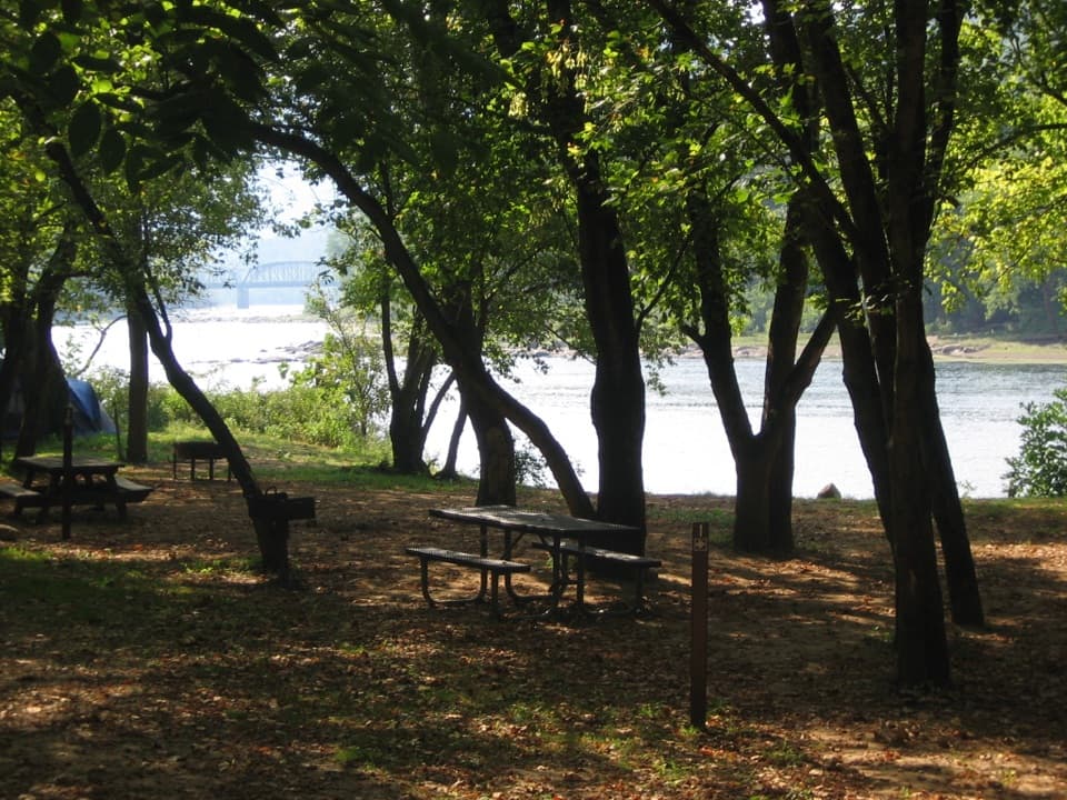 Campground · 1.9 mi awayGrandview Sandbar CampgroundWooded campsites put you beside the New River.
Parkwolf’s New River Gorge ranking

The audio tour guide for the drive, plus offline maps, trails, and wildlife heatmaps for when the signal drops.