Pros & cons
PROS
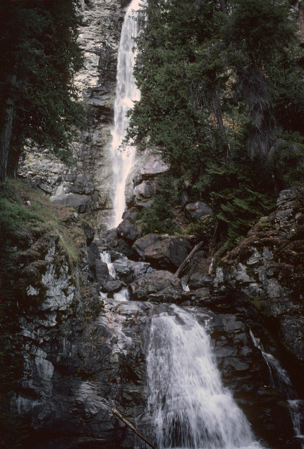
- Dramatic overlook of a narrow gorge with cascading falls
- Remnants of an old suspension bridge add a quirky bit of history
- Mostly mellow 4.7–4.8-mile round trip from High Bridge
CONS
- Remote logistics: ferry and shuttle via Stehekin
- Brushy stretches and a spring creek crossing can be tricky
- Day-use only; no camping along the trail
Overview
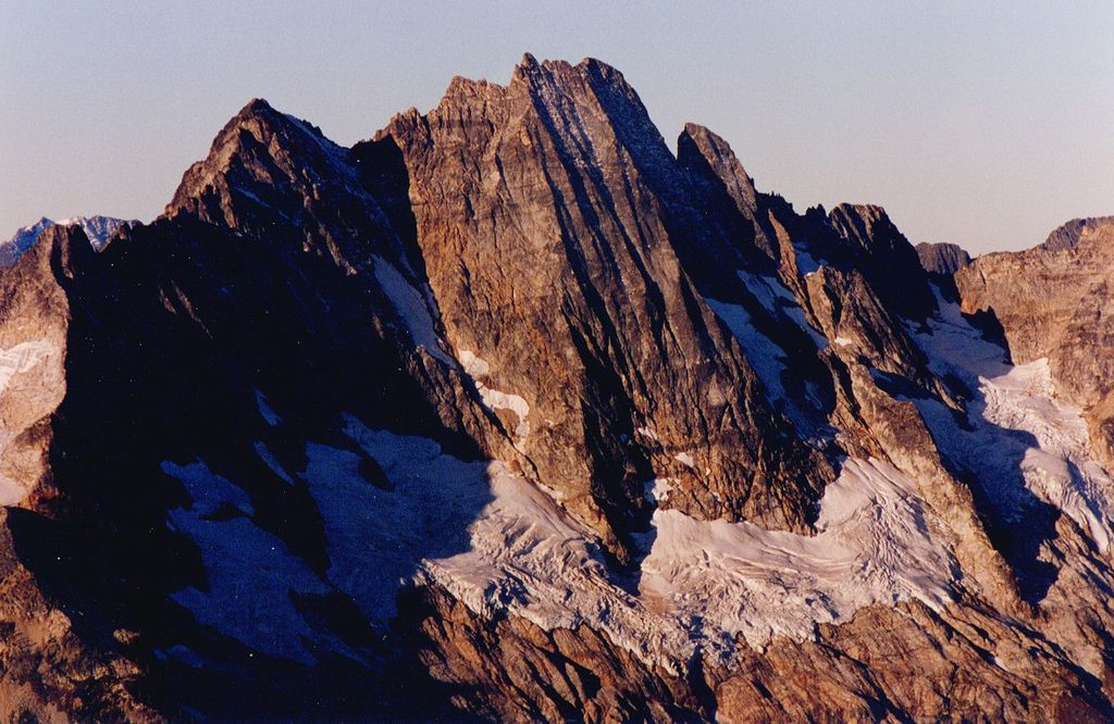
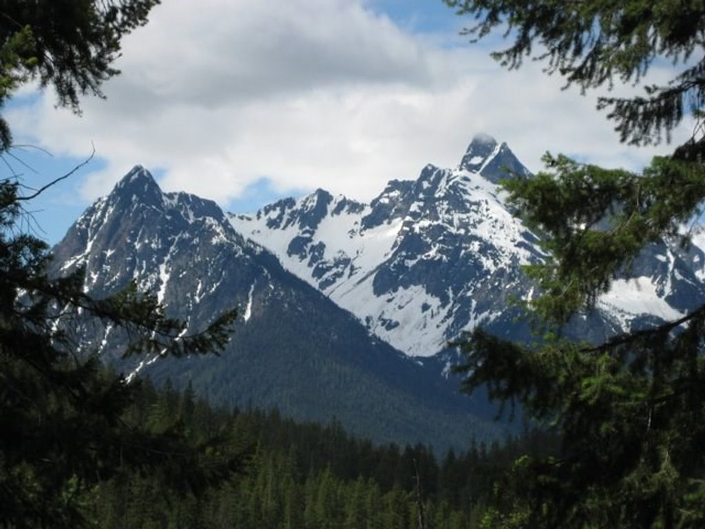
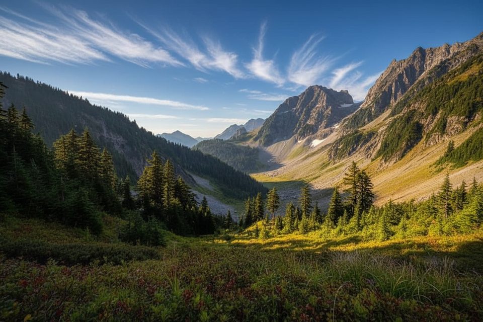
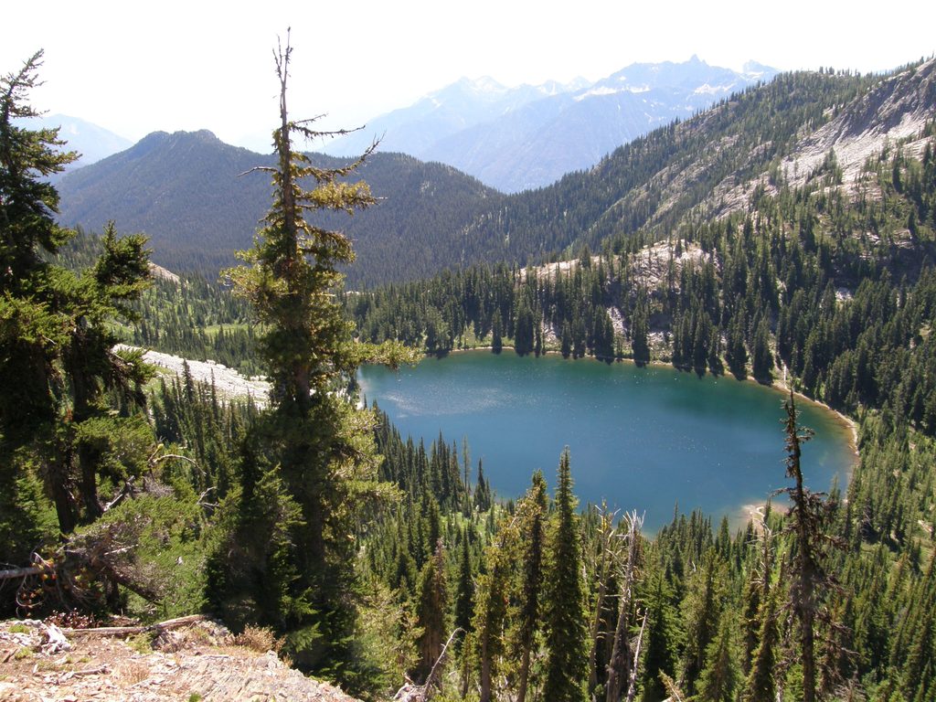
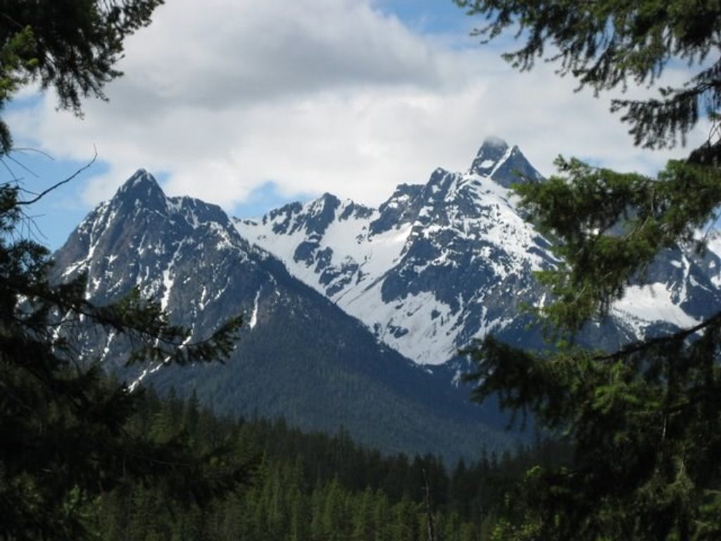
Agnes Gorge is a short, rewarding outing from High Bridge in the Stehekin Valley that ends at a dramatic cliffside overlook. Agnes Creek roars through a tight chasm below, and on a clear day you can spot Agnes Mountain and glacial features peeking through gaps in the forest. It’s a classic Stehekin day hike: big payoff, modest effort, and a real sense of the valley’s raw geology.
The Hike
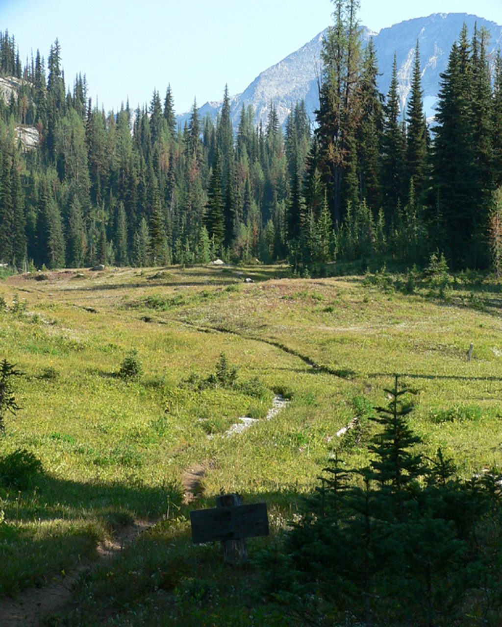
Expect roughly 4.6–4.8 miles round trip with about 300–600 feet of gain. The path rolls through cool forest, then traverses open hillside with the first peeks into the gorge. The maintained trail ends at a high viewpoint above the cascades—mind the drop-offs. You’ll see old concrete abutments and metal bits from a long-gone suspension bridge near the end.
What Makes It Special
This gorge was carved where ancient glaciers and modern meltwater focused their power, scouring down into tough metamorphic rock. The Stehekin River and Agnes Creek can glow a distinctive blue thanks to suspended glacial silt. It’s a tight, thundering slice of North Cascades geology you can experience in a half day.
Getting There
Reach Stehekin by boat on Lake Chelan, then ride the Stehekin Valley Shuttle to High Bridge. From there, cross the bridge and walk a short stretch up the road to the signed trailhead on the left. Don’t confuse it with the nearby Agnes Creek Trail (that one connects to the PCT). Plan around the shuttle schedule; it’s your ride back.
Regulations and Camping
The trail is day-use only—no camping along the route. Nearest camps are Turnwater and High Bridge and require proper backcountry arrangements. About a mile in, the trail crosses from the national park into Glacier Peak Wilderness.
Conditions and Safety
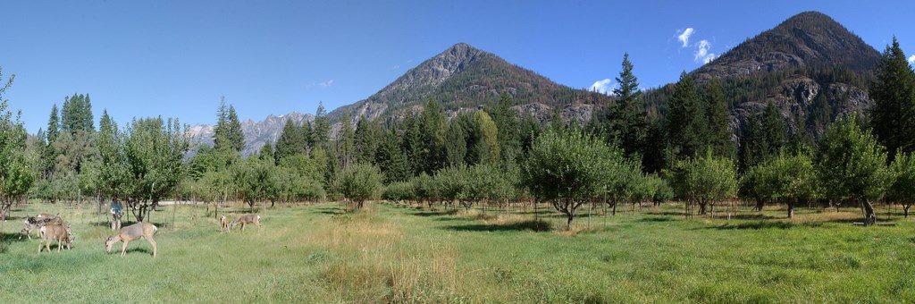
Early season can bring a small but spicy creek crossing near the start, plus wet or muddy sections. Later in summer, some stretches get brushy; long pants help. Use caution near the end where the trail perches above the gorge. Bears are common in the valley (especially when berries ripen), and hikers also report grouse and deer; make noise, give wildlife space, and follow food rules. In spring, check for ticks after your hike.
Best Time to Visit
- Spring: high, rushing water makes the gorge extra dramatic, but expect wet tread and a trickier creek crossing.
- Summer to early fall: generally mellow conditions and clear views; late season can mean huckleberries (and bears).
- Timing: start mid-morning for warmer temps or aim for late afternoon light in the gorge; weekdays can feel even quieter. Build in a buffer to catch the last shuttle.
Quick Tips
- Use facilities at High Bridge before you start; don’t count on a restroom at the trailhead.
- Stay on the Agnes Gorge Trail—skip the nearby Agnes Creek/PCT if your goal is the gorge.
- Pack extra water and sun protection for the open hillside sections.
- Give yourself time at the end—the viewpoint is the star of the show.
Where it is
48.3721, -120.8556Tips for Agnes Gorge
- 01Confirm the Stehekin shuttle schedule and aim to catch an early bus up-valley.
- 02Don’t mix up the Agnes Gorge Trail with the nearby Agnes Creek/PCT trail.
- 03Wear long pants—the trail can get brushy later in the season.
- 04In spring, expect a small creek crossing near the start and wet tread.
- 05Plan restroom stops at High Bridge before setting out.
Amenities
Near Agnes Gorge
All places →All trails →
0 mi awayAgnes Gorge TrailEasy Stehekin stroll to a thundering gorge and picnic perchEasy · 5 mi · 2 hr
1 mi awayUpper Stehekin Valley TrailRoad-turned-trail up a wild river corridor to alpine gatewaysModerate · 12 mi · 5 hr
3.2 mi awayStehekin Valley RanchRemote, all-meals ranch stay deep in the Stehekin ValleyLodging · Food
7.5 mi awayRainbow FallsShort, misty waterfall stop with midday rainbows and big spring flowsParking · Restroom
7.5 mi awayBuckner OrchardLiving homestead where you can stroll ditches and pick applesRestroom · Exhibit
8.1 mi awayGoode MountainRemote 9,000-footer with huge relief, classic ridge and ski lines
11.1 mi awayMcAlester Pass TrailBig alpine loop over McAlester Pass with meadows, lakes, and solitudeChallenging · 31.3 mi · 16 hr
11.1 mi awayRainbow Lake TrailRemote, strenuous push to a deep-blue alpine lake and big viewsChallenging · 23.9 mi · 12.5 hr