Goode Mountain

Remote 9,000-footer with huge relief, classic ridge and ski lines
Goode Mountain, North Cascades National Park
InsideNorth Cascades National Park

Overview

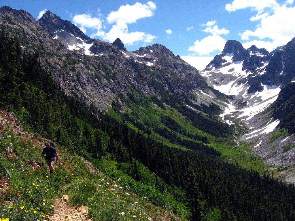
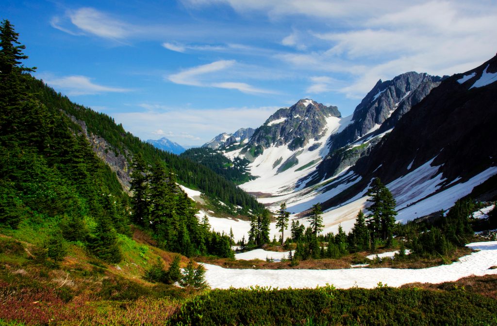
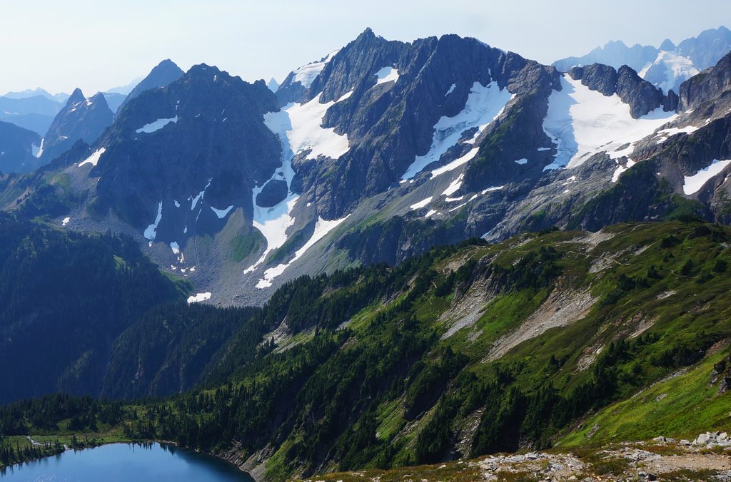
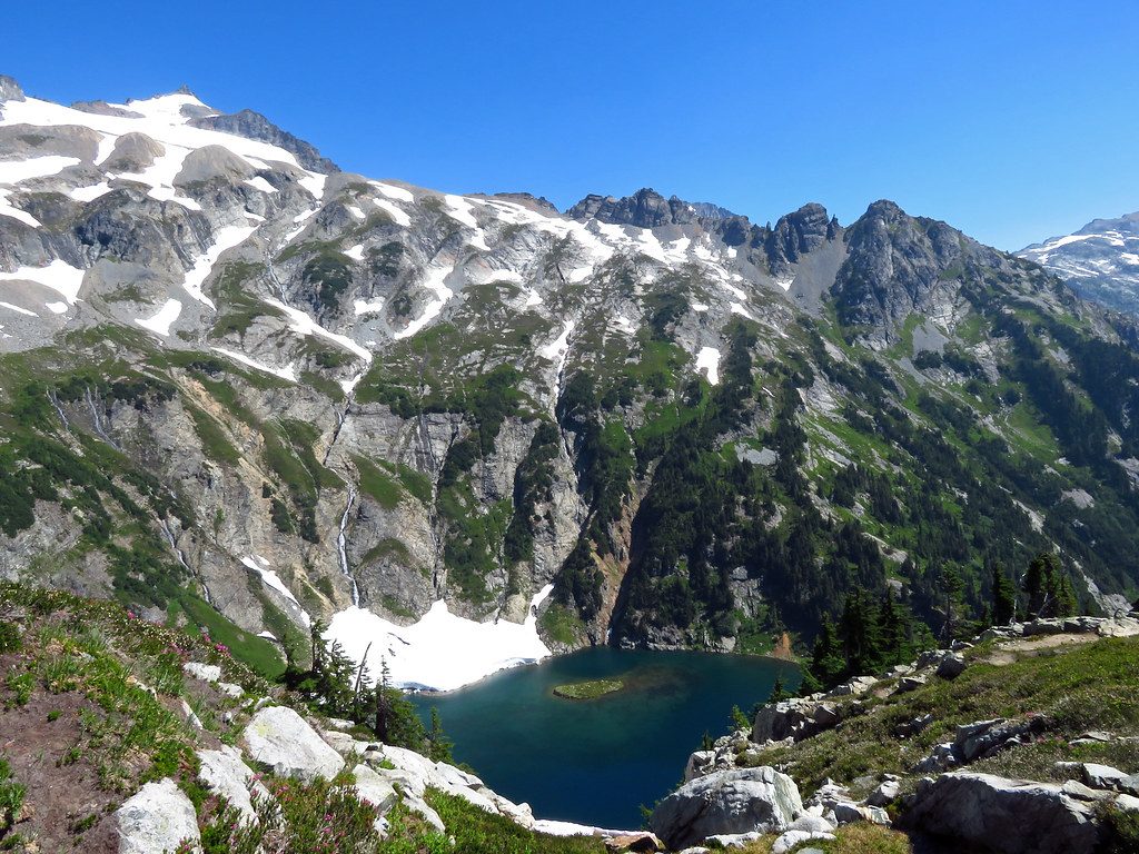
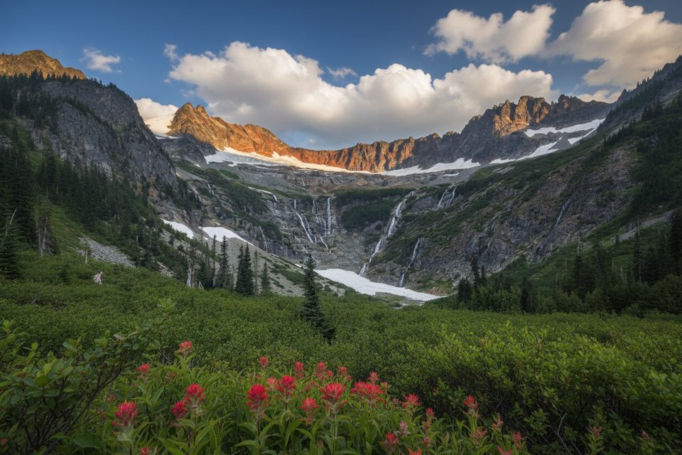
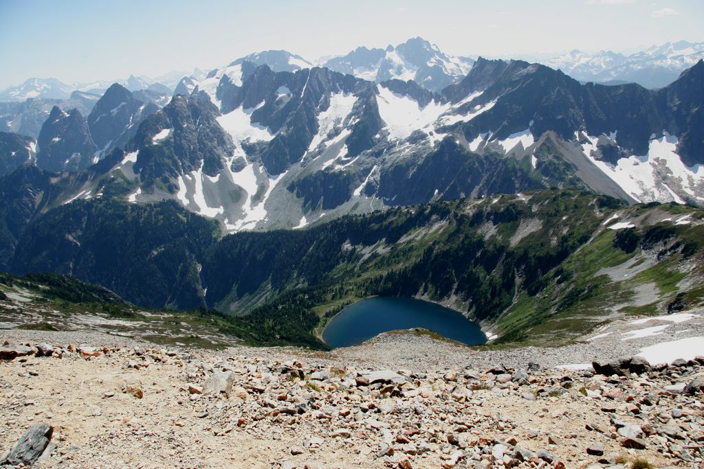
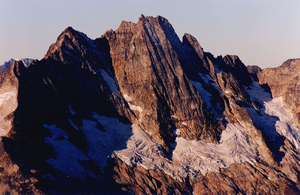
Goode Mountain is the big, remote prize of the range—one of the few ~9,000-foot summits here—with nearly a vertical mile of relief from valley to top. Expect a wild setting, striking fluted headwalls, and the creaking Goode Glacier below. It’s rarely visited, committing, and best suited to experienced climbers or ski mountaineers.

What It’s Like

The mountain’s north aspects feel massive and austere. Upper headwalls can verge near-vertical with distinctive fluting, and the NE side funnels into steep couloirs. Views are superb, but the effort to earn them is substantial.

Signature Objectives

  • NE Buttress (summer/alpine rock): Typically a multi-day affair. A long 15+ mile approach to a high camp (~5,200') on the North Fork precedes glacier travel to rock, then a long stretch of mostly moderate simul-climbing with a few short pitched steps. The descent involves rappels to Black Tooth Notch, more raps into a very loose gully, then down to snow and a big drop toward Park Creek. Parties commonly plan three days end-to-end. A 60 m rope covers the rappels; doubles in the small cam sizes (around 0.3–1") and plenty of slings were more than enough for one documented ascent. Aluminum crampons were adequate in late season, and approach shoes worked. Water is scarce on route—last good refill is before the glacier; the next reliable water on descent was around 7,400'. Late-season conditions can make the snow/ice transition straightforward if moats have collapsed/filled.
  • NE Couloir (ski/ride): A steep, committing ~2,000' line off the Goode Glacier with upper slopes showing dramatic fluting and pitches that can push into the mid‑50° range depending on snowpack and exact line. It’s highly conditions‑dependent: one party found perfect powder with cornice hazard at the col; another bailed after encountering bulletproof ice and exited via the south face into Park Creek—timing and temps are everything.

Approaches & Logistics

There isn’t a dedicated Goode trailhead. Common access corridors include the North Fork of Bridge Creek (arduous, occasionally icy river crossings), or starting from SR 20 at Rainy Pass and traversing over the south side of Black Peak down to the North Fork (expect some bushwhacking and creek wrangling). Other legal approaches connect via established routes like Bridge Creek, Park Creek Pass, Cascade Pass to the Upper Stehekin Valley, or from Stehekin itself. You’ll park and start at those established trailheads, not at anything labeled “Goode Mountain.”

Permits, Camping, and Facilities

Overnights in the park require a backcountry permit for designated sites. Roadside or pullout camping is not allowed. Restrooms exist at major SR 20 trailheads and at some designated backcountry camps, but don’t expect any facilities at the Goode Ridge junctions or along the mountain’s approaches. Plan your itinerary and campsites well ahead—peak season allocations are limited.

Safety and Conditions

Rock in the descent gully is notably loose; minimizing party overlap reduces rockfall risk. Cornices can loom on ridge crests near the NE Couloir. The broader park is remote, and weather changes rapidly—build in margin for storms and cold snaps.

Best Time to Visit

  • Climbing: Late season often cleans up the NE Buttress, and collapsed moats can simplify the snow/rock transition. Aim for stable, dry windows.
  • Ski/Ride: Target cold, stable periods with recent soft snow on the NE Couloir; avoid warm spikes and be ready to pivot if you encounter ice. Weekdays and early starts help keep you solo on loose terrain and reduce objective hazards.

Who Will Love It (and Who Won’t)

If you’re an experienced alpinist or ski mountaineer who loves long approaches and complex route-finding in a truly wild corner of the range, Goode will be memorable. Casual hikers should choose other front‑country classics—this one is all commitment, no amenities.

Pros

  • Wild, remote summit with huge relief and dramatic glacier-clad faces
  • Classic NE Buttress climb and steep NE Couloir ski line for experts

Cons

  • Very long, complex approaches with loose descent gully hazards
  • No dedicated trailhead or facilities; overnight trips require permits

Tips

  • Plan a three‑day itinerary for the NE Buttress to manage the long approaches and descent.
  • Carry a 60 m rope, small cam doubles, and lots of slings; a 70 m isn’t necessary for standard raps.
  • Refill water before the glacier; the next reliable water on descent may not appear until around 7,400'.
  • Avoid stacking parties in the loose descent gully to reduce rockfall exposure.
  • Permits are required for designated backcountry camps, and roadside camping is not allowed.
The Parkwolf tour guide sitting on a phone mounted in a car

Parkwolf Tour Guide

Like a tour guide in your car.

Save the places you found around North Cascades, then let Parkwolf guide the drive between them.Download Parkwolf on the App Store