
Place · 0.9 mi away
Challenging
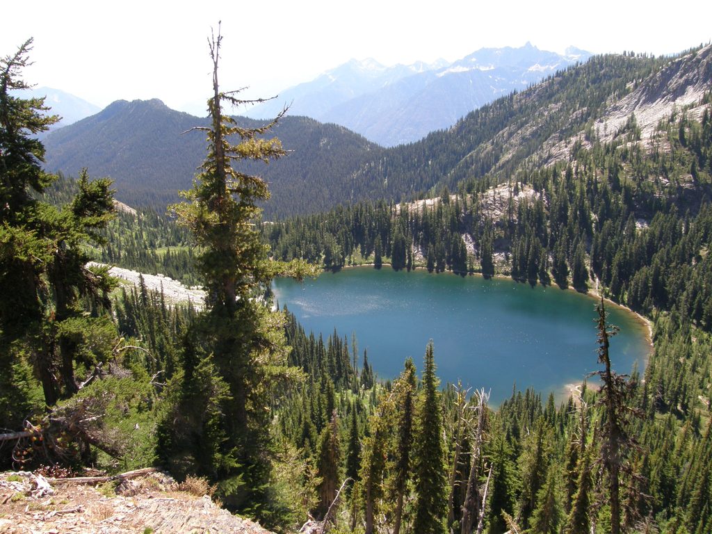
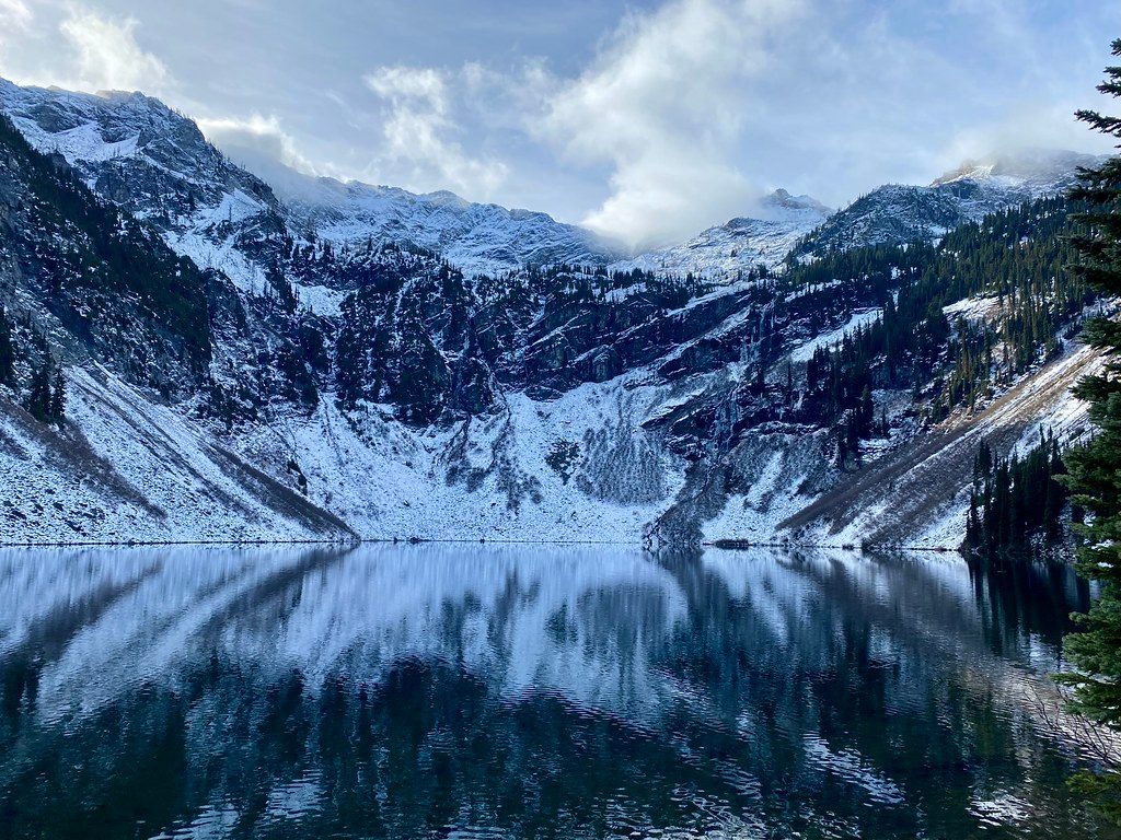
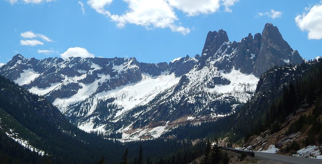
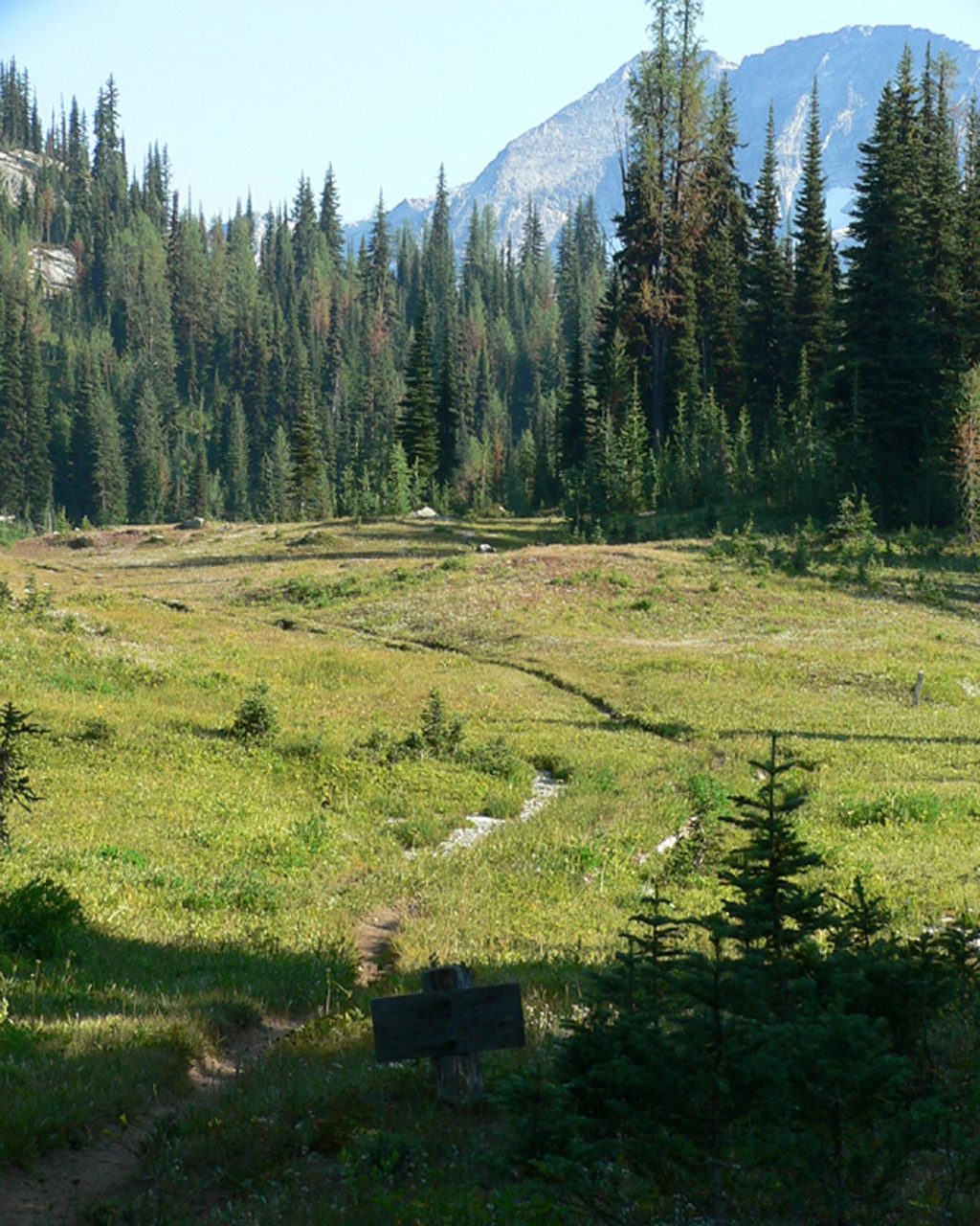
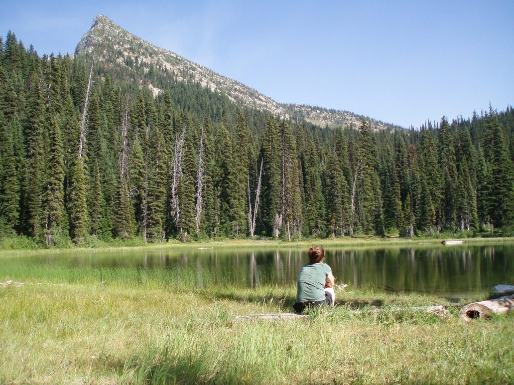
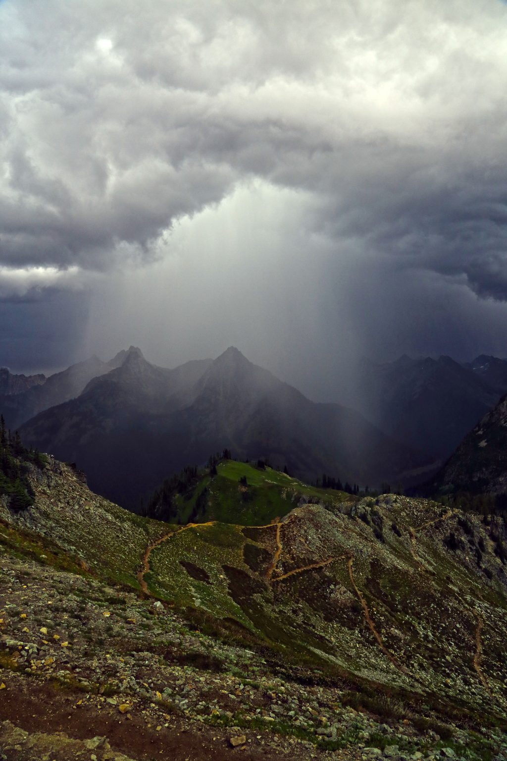
This is a serious backcountry outing to a deep-blue basin tucked beneath jagged peaks like Rainbow Mountain and Bowan Mountain. Expect rugged tread, big elevation, and that classic North Cascades mix of forested valleys, subalpine meadows, and talus-streaked passes. It’s gorgeous, remote, and absolutely not casual—come prepared and experienced.
You’ve got two primary approaches:
Many backpackers fold Rainbow Lake into the Rainbow–McAlester Lakes loop: typically 32 miles from SR 20 or 35 miles from Stehekin, often done in 4 days. Choose your adventure based on logistics and experience.
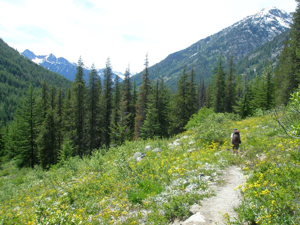
The lower PCT/Bridge Creek stretches are mellow, but things ramp up fast near Bowan Pass—the route’s steepest section—which can hold snow into mid-summer and may warrant an ice axe until it melts out. Expect rocky tread, some less-defined sections, and occasional talus traverses. Creek fords (notably near South Fork) can be swift and cold during higher flows. There’s little to no cell service, and exposure plus limited shade can make hot days feel hotter. Mid-season bugs at the lake can be memorable for all the wrong reasons.
Designated backcountry camps dot both approaches (including South Fork along the PCT, sites along Rainbow Creek, and a camp at the lake). A backcountry permit is required for any overnight. Campfires are not allowed at Rainbow Lake Camp to protect the fragile basin. Food storage discipline is essential—late-summer huckleberries bring increased black bear activity, so keep a clean camp and store everything scented properly.
From SR 20, use the Bridge Creek Trailhead (east of Rainy Pass). A federal recreation or Northwest Forest Pass is required at this USFS trailhead. From Stehekin, reach the Rainbow Loop Trailhead by bus, then connect via Rainbow Creek to Rainbow Lake.
Late summer into early fall is prime: snow has usually melted off Bowan Pass, streamflows are manageable, and the meadows are at their best. Early summer often means lingering snow and more challenging fords. Start early during heat waves—shade is limited in places. Expect bugs near the lake mid-summer, and be ready for regional smoke during fire season. Weekdays see fewer people, but this is remote country; crowds aren’t the story here.
It’s a rugged, high-effort hike to a serene alpine lake with real wilderness vibes. If long mileage, steep passes, and backcountry logistics excite you, Rainbow Lake delivers. If you want quick payoff for modest effort, look elsewhere.
From SR 20, park at Bridge Creek Trailhead (east of Rainy Pass); a federal recreation or Northwest Forest Pass is required. From Stehekin, take the bus to the Rainbow Loop Trailhead and connect via Rainbow Creek.
Steep, rocky terrain with lingering early-season snow on Bowan Pass; challenging creek fords during snowmelt; no cell service; limited shade and heat exposure; heavy midsummer bugs at the lake; strict no-campfires rule at Rainbow Lake Camp; be bear-aware and store food properly.
Place · 0.9 mi away
Place · 1 mi away
Place · 1.2 mi away
Place · 3.2 mi away
Challenging · 0 mi away
Challenging · 0 mi away
Challenging · 0 mi away
Challenging · 1 mi away

Parkwolf Tour Guide
