
Place · 0.9 mi away
Challenging
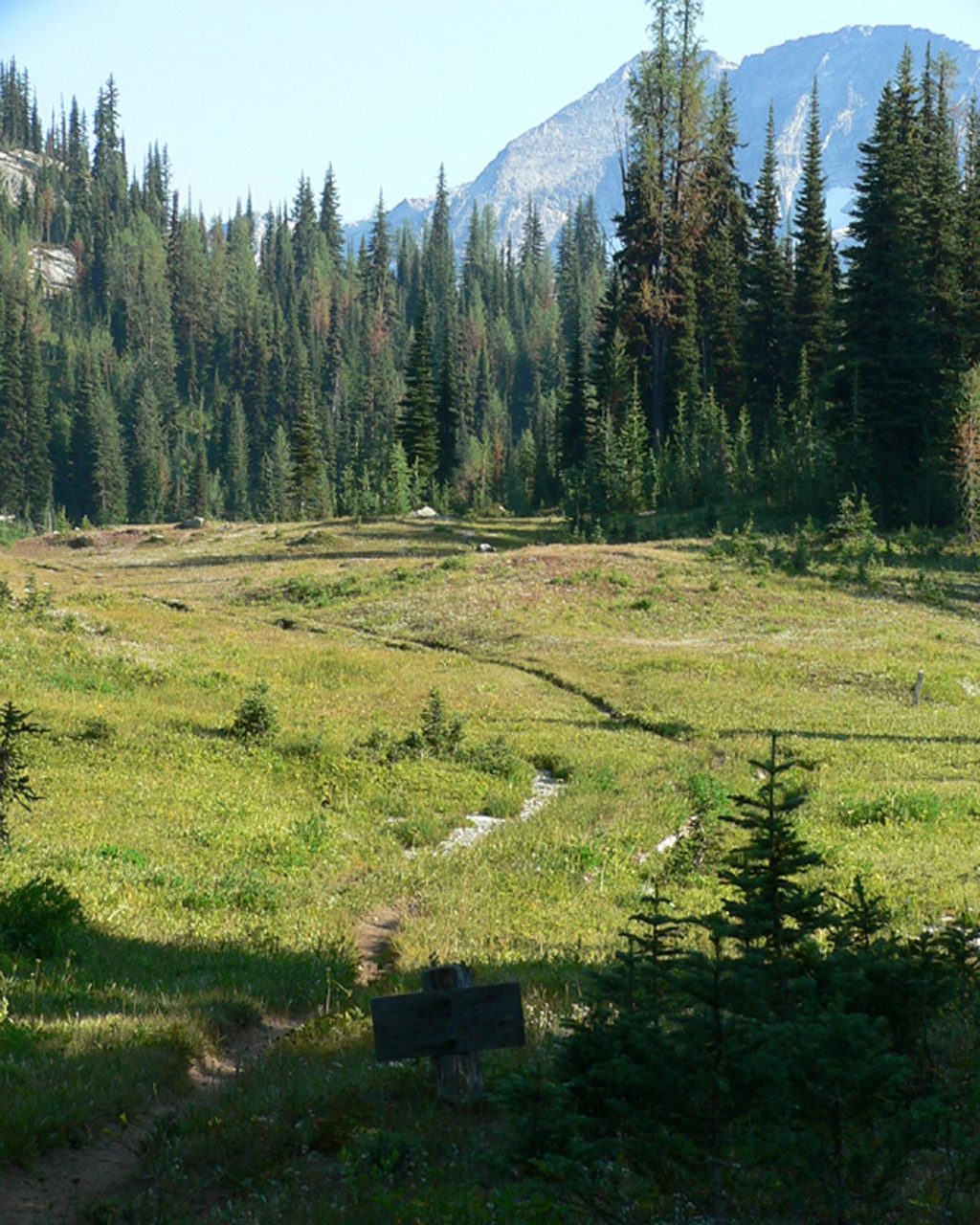
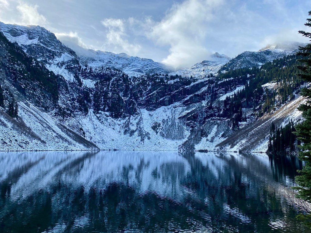
McAlester Pass is most often tackled as the Rainbow–McAlester Loop, a strenuous, low-30s-mile backpack that links Bridge Creek, Rainbow Lake/Creek, and McAlester Lake/Pass. Expect long, committing days, big climbs and descents, airy meadows, and surprisingly quiet camps for such a scenic circuit. Total distance for the loop is about 31–33 miles (total), with roughly 6,700 feet of gain. Strong parties sometimes compress it into two days, but most take 3–4.
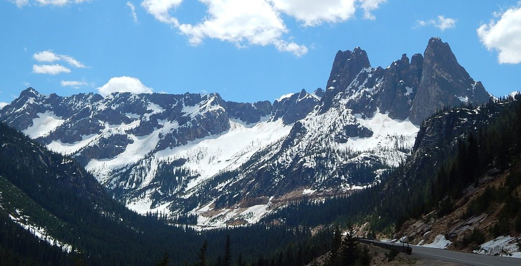
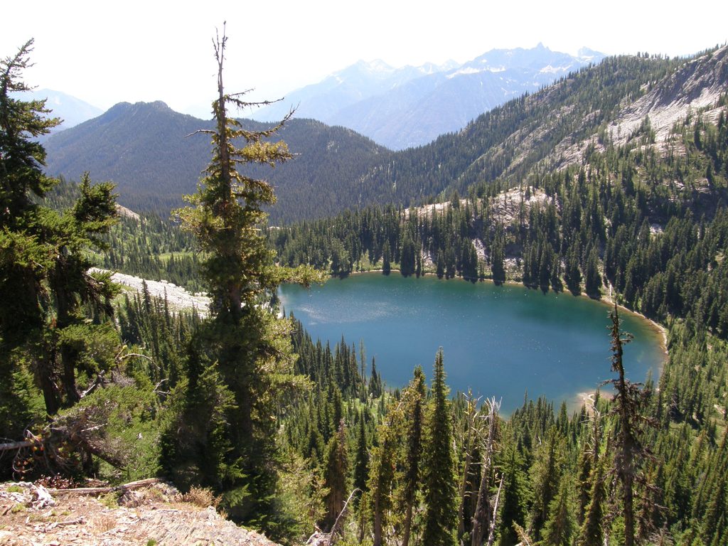
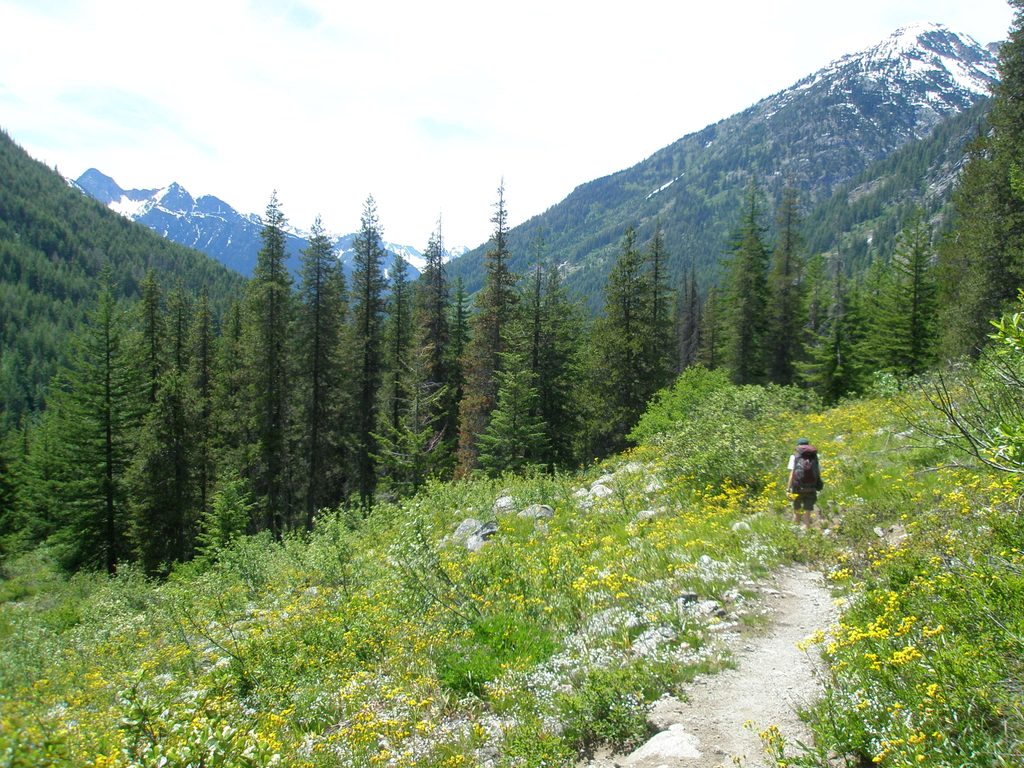
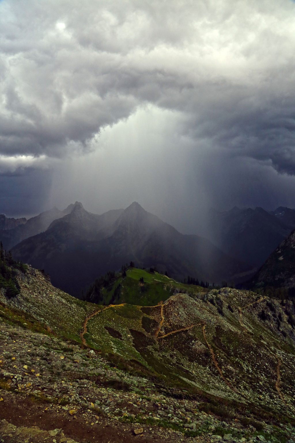
This route is a sampler of the park’s subalpine: hemlock and larch forests giving way to broad meadows at McAlester Pass, turquoise lakes (Rainbow and McAlester), wildflowers, and marmot whistles in summer. The Rainbow Creek side passes through a recent burn—hot and exposed on summer afternoons—but it also opens big views and wildflower blooms. Bears are around (you’ll likely see tracks or scat even if you never spot one), and marmots and pikas work the meadows.
Most hikers start at Bridge Creek Trailhead near Rainy Pass, following the PCT/Bridge Creek before committing to the loop. Clockwise or counterclockwise both work; clockwise means a stout climb to Rainbow Lake before turning north over Rainbow Creek to McAlester Pass and down to McAlester Lake, then closing the loop back to Bridge Creek. If you’re tempted, a popular detour from the Rainbow Creek side drops toward Stehekin for a bakery run, adding mileage and some extra gain.
Early season means water. Numerous crossings—some shallow, others knee-deep and pushy—are common, especially before mid-summer. The East Fork of McAlester is unbridged and can be difficult or impassable at peak melt. Snow lingers near Rainbow/Bowan Pass and on the north side of Rainbow Pass; traction is often helpful, and pre-August travel can require confident snow skills. Expect possible blowdowns (notably near Bowan Camp) that slow your pace and scrape shins. When it’s hot, the burn area near Stehekin can feel relentless with limited water between sources. On the flip side, Rainbow Lake is often warm enough for an alpine dip by mid-summer.
Designated camps dot the loop: Rainbow-side camps like Bowan (reports of bear wire) and Bench Creek, and McAlester-side camps at McAlester Lake (hiker and stock sites) and High Camp near the pass. High Camp is quiet and close to the meadows, but water can be seasonal—once the meadows dry, you may need to walk about a half-mile for water. A backcountry/wilderness permit is required for any overnight; quotas are limited. Some camps have food-hang wires, but not all—bring a long line or approved storage. Stock must use designated stock camps.
Mid/late summer through early fall is the sweet spot: meadows are lush, lakes are open, and snow has mostly cleared from passes. Before August, be ready for steep snow on the Rainbow/Bowan side and high creek flows. For comfort and fewer encounters, start early, aim to cross the burn zone in the cool of the morning, and shoot for weekdays. Mosquitoes can be spicy mid-summer—pack repellent and netting if you’re sensitive.
Park at Bridge Creek Trailhead on SR 20 near Rainy Pass. A federal recreation pass (e.g., Northwest Forest Pass) is required at the trailhead. Temporary trailhead lot repairs/closures do happen—check status before you go. Pets are not allowed on this route from the SR 20/Bridge Creek side into the National Park. Overnight trips require a park backcountry permit with limited quotas; plan camps in advance.
Bridge Creek Trailhead on SR 20 near Rainy Pass; federal recreation pass (Northwest Forest Pass) required. Temporary lot repairs/closures occur—check status before you go.
Unbridged creek crossings (notably East Fork McAlester) in early season; lingering steep snow near Rainbow/Bowan Pass; frequent blowdowns near Bowan; hot, exposed burn area with limited water; carry traction and poles when snow lingers and be prepared to turn back if water is unsafe.
Place · 0.9 mi away
Place · 1 mi away
Place · 1.2 mi away
Place · 3.2 mi away
Challenging · 0 mi away
Challenging · 0 mi away
Challenging · 0 mi away
Challenging · 1 mi away

Parkwolf Tour Guide
