
Place · 1 mi away
Moderate
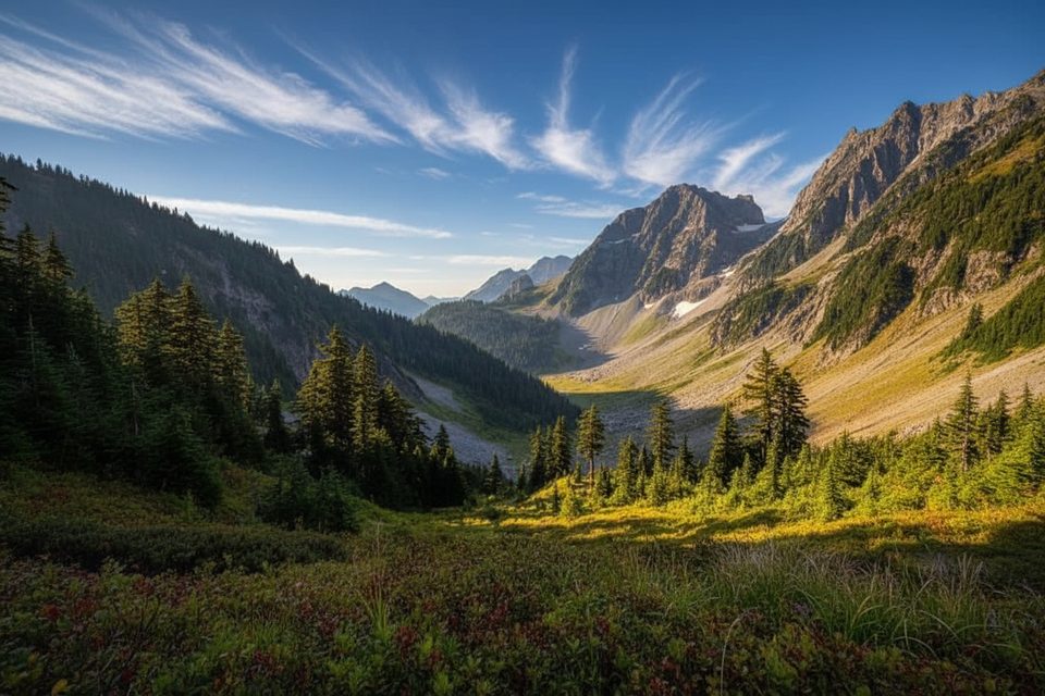
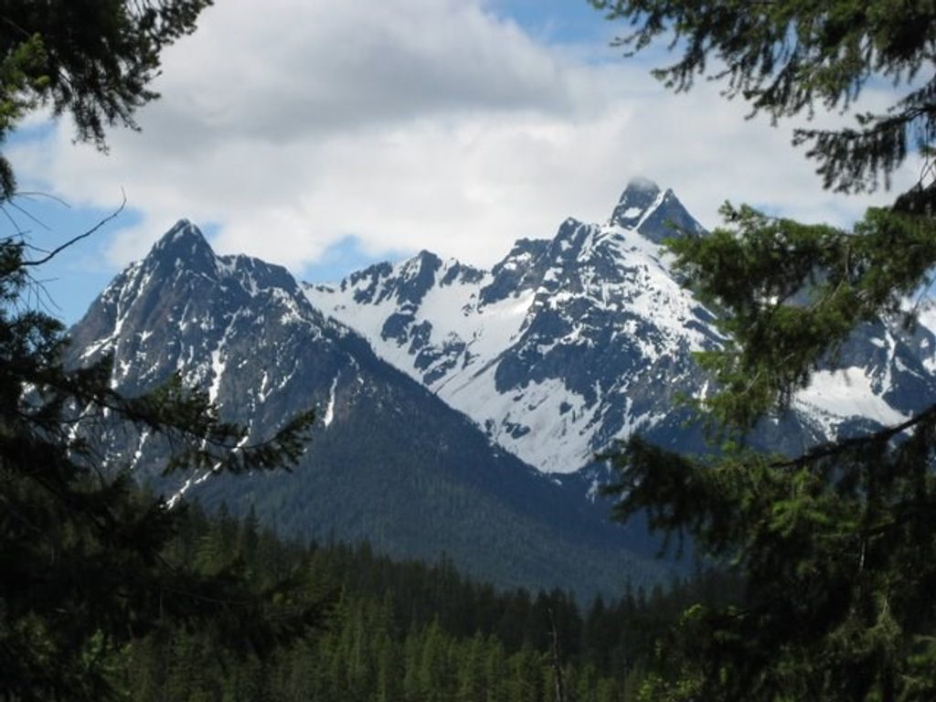
This is the Stehekin Valley backbone: a mostly gentle, road-turned-trail corridor from High Bridge to Cottonwood Camp that links forests, river views, and a web of standout side trips. Thanks to the 2003 Car Wash Falls washout, a mandatory Pacific Crest Trail (PCT) bypass is now part of the route. Expect an approachable grade and fast walking on the old roadbed, punctuated by brushy stretches and classic North Cascades vibes. Length is roughly 12 miles one way from High Bridge to Cottonwood.
The first half mixes easy road grades with a forested PCT segment before rejoining the wide old road where you can hike side‑by‑side and cover ground quickly. You’ll get river corridor scenery, cool conifer forest, and, in places, evidence of past fire with vivid wildflower recovery. Wildlife is a real draw—hikers commonly note black bears (and plenty of scat), mule deer, marmots, pikas, and, higher up toward Cascade Pass, mountain goats.
From High Bridge you’ll walk the old road toward the river bridge, cross, then join the PCT northbound to Bridge Creek Camp. Beyond Bridge Creek, the old road resumes—flat and fast—to key junctions: Goode Ridge (a burly 5-mile/4,400‑foot climb to a former lookout with huge views), Park Creek Pass (an epic route toward Highway 20), Flat Creek Camp, and finally Cottonwood Camp. Beyond Cottonwood the corridor continues as singletrack toward Pelton Basin, Cascade Pass, Sahale Arm, Horseshoe Basin, and Highway 20, opening up excellent one‑way traverse options if you plan permits and transport.
Underfoot ranges from smooth roadbed to rooty, rugged tread in forested sections. Between Cottonwood and Bridge Creek, expect overgrown vine maple and thimbleberry that can soak you through when wet—long pants help. Although the trail parallels the Stehekin River, direct water access is limited; count on named sources like Flat Creek junction, Bridge Creek, Park Creek, Cottonwood Camp, Basin Creek, and Doubtful Creek. Treat all water.
There’s no road to Stehekin. Most hikers arrive by ferry or floatplane, then ride the seasonal Stehekin Shuttle up to High Bridge. For a one‑way adventure, combine the valley with trails to Highway 20 or start from Highway 20/Cascade Pass and hike down to Stehekin. Backcountry permits are required for designated camps such as Bridge Creek, Flat Creek, Cottonwood, Pelton Basin, etc. The Car Wash Falls washout makes the PCT bypass a required piece of the approach.
Plan for roughly June through October, depending on snow. Early season can leave snow lingering near and above Cascade Pass and make creeks like Doubtful Creek pushy. Summer brings more reliable footing and shuttle service; late season trims bugs and crowds. If you’re exiting or starting from the Cascade Pass side, parking fills very early on weekends—plan accordingly.
If you’re hunting big alpine bang for your buck, use this corridor to get up to Sahale Arm or Horseshoe Basin; for pure river‑valley cruising and campsite linking, the High Bridge–to–Cottonwood segment is ideal.
You can’t drive to Stehekin. Arrive by ferry or floatplane, then take the seasonal Stehekin Shuttle to High Bridge for the start of the trail. If doing a one-way via Cascade Pass/Highway 20, stage a vehicle on that side.
Mandatory PCT bypass due to the Car Wash Falls washout; brush can be chest‑high and soaking; water access is limited to specific creeks; early season snow and high creek flows persist; active black bear country—carry spray and store food properly.
Place · 1 mi away
Place · 2.4 mi away
Place · 6.9 mi away
Place · 7 mi away
Easy · 1 mi away
Challenging · 10.2 mi away
Challenging · 10.2 mi away
Challenging · 10.2 mi away

Parkwolf Tour Guide
