Pros & cons
PROS
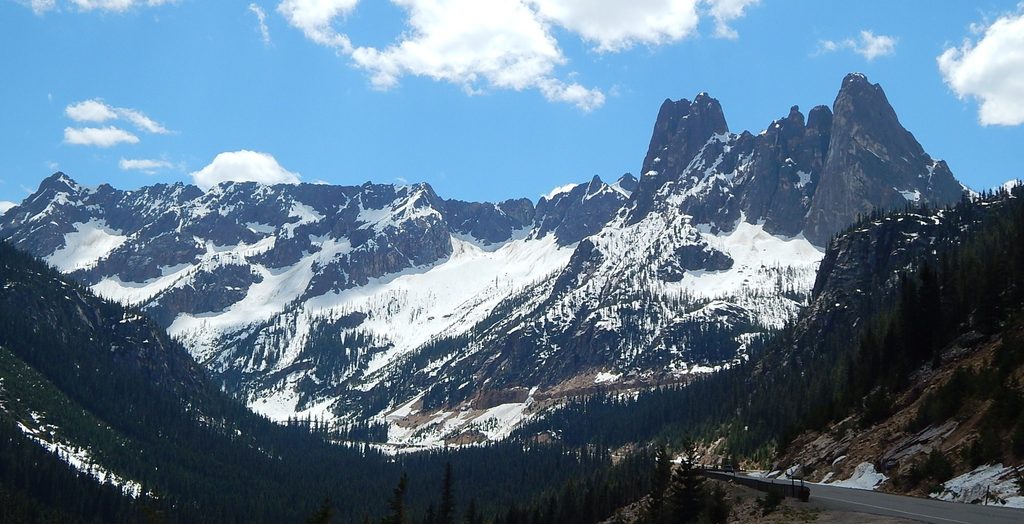
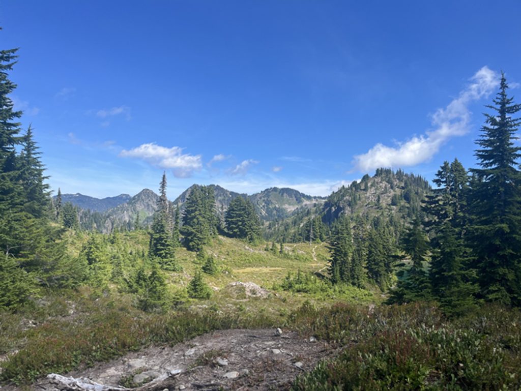
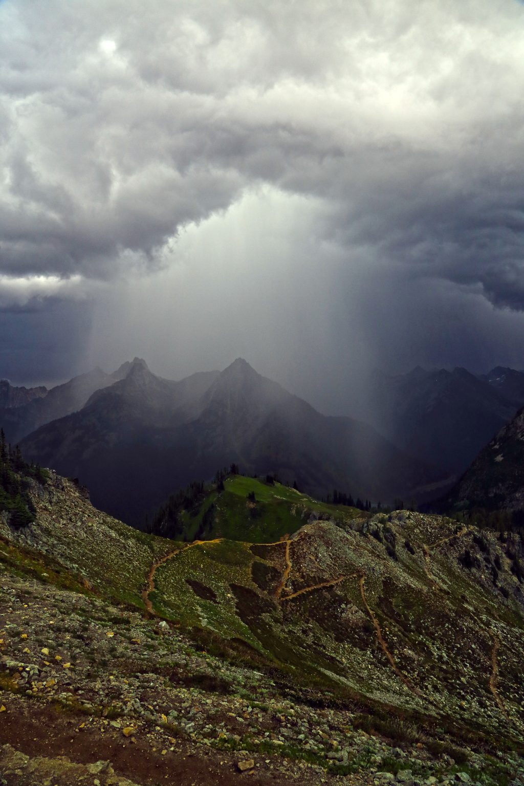
- Panoramic ridge views with summer wildflowers and golden larches in fall
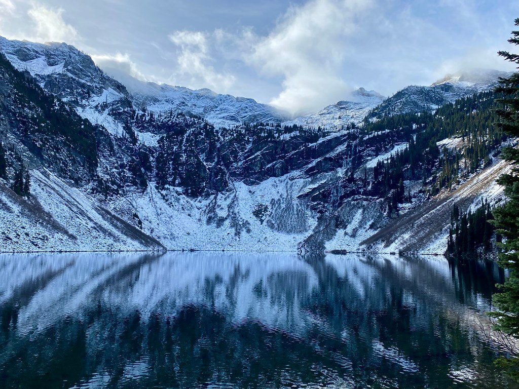
- Optional Lake Ann spur adds a serene alpine lake stop
- Vault toilets and a sizable parking lot at Rainy Pass trailhead
CONS
- Extremely popular; parking fills early, especially during larch season
- Steep, rocky, and sun‑exposed descent in places
Overview
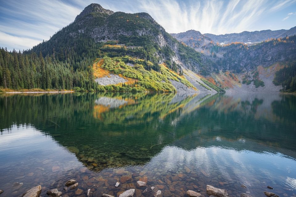
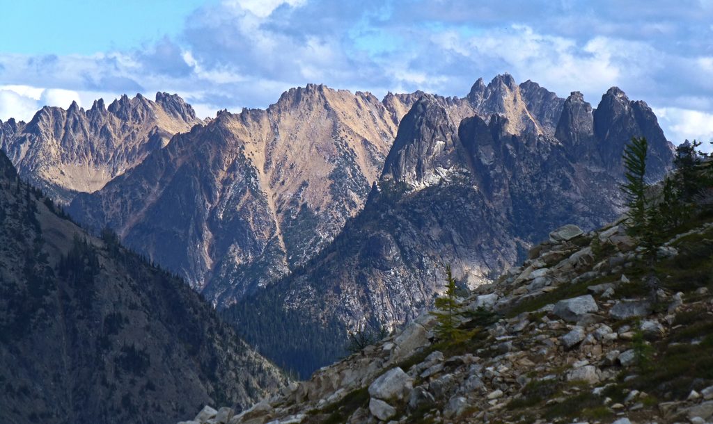
If you want a single hike that shows off just about everything this range is famous for, this is it. The Maple Pass Loop strings together forested switchbacks, wildflower meadows, a glassy alpine lake, and an airy ridgeline with big views of Black Peak and a sea of jagged summits. It’s a stout loop (roughly 6.5–7.6 miles, 2,020–2,200 feet of gain, high point around 6,650 feet) and it earns its hype.
Route and Direction
Start at Rainy Pass on Highway 20. Most hikers go counterclockwise for a smoother, more gradual climb to Heather Pass and Maple Pass, then tackle the steeper descent back to the lot. Expect some rocky/rooty tread and a few narrow sections along the ridge. Trekking poles pay off on the way down. There’s a short, mostly flat spur to Lake Ann—take it if you can; it adds mileage but gives you a peaceful alpine water stop.
Season and Conditions
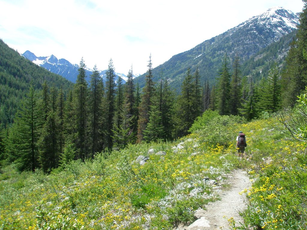
Snow lingers into mid‑July, so early season can mean patches and traction needs. Wildflowers peak in July–August. Late September into early October is “larch madness,” when the hillsides turn gold—and the crowds surge. Highway 20 closes in winter; plan your visit for late summer through mid‑fall and always check current road status.
Wildlife
Keep an eye out for marmots near the pass and listen for pikas squeaking in the rocky talus. Enjoy the encounters, but give wildlife space and never feed them.
Logistics
- Trailhead: Rainy Pass Picnic Area on Highway 20, just outside the park’s east boundary. Vault toilets at the trailhead.
- Pass: Northwest Forest Pass or America the Beautiful is required to park.
- Water: There’s no potable water—carry 2–3 liters; much of the loop is exposed to sun and wind.
- Dogs: Portions of the loop cross into North Cascades National Park where dogs aren’t allowed. Dogs are fine up to Heather Pass (leash required); beyond that, leave them at home.
Crowds and Parking
This is one of the region’s most popular hikes. On busy days the lot can fill by mid‑morning, and it’s a zoo during larch season. Your best play: start early (think pre‑8 am) or go midweek.
Best Time to Visit
- For solitude: Early mornings on weekdays outside larch peak.
- For flowers: July–August.
- For color: Late September to early October (expect heavy crowds). Afternoon light can be gorgeous on the ridge, but an early start makes parking and temps easier.
Is it worth it?
Absolutely. It’s a true greatest‑hits loop—iconic views without technical terrain—just be ready for the climb and the crowds.
Where it is
48.5151, -120.7358Tips for Maple Pass Loop
- 01Hike counterclockwise for a more gradual ascent and bigger early views.
- 02Start before 8 am or go midweek to beat the parking crush, especially in larch season.
- 03Bring 2–3 liters of water, sun protection, and layers—the ridge is exposed and windy.
- 04Trekking poles make the steep, rocky descent far easier on knees.
- 05Add the short spur to Lake Ann for a scenic break without much extra effort.
Amenities
Near Maple Pass Loop
All places →All trails →
0 mi awayHeather-Maple Pass LoopIconic ridge loop with larches, Lake Ann, and nonstop Cascades viewsChallenging · 7.2 mi · 4.5 hr
0 mi awayRainy Lake TrailPaved, family friendly stroll to a turquoise alpine lake and fallsEasy · 2 mi · 42 min
0.1 mi awayPacific Crest National Scenic TrailRugged PCT slice with larches, glaciers, and strict permitsChallenging · 18 mi · 9 hr
0.2 mi awayRainy PassHighway hub for Maple Pass, Rainy Lake, and the PCTTrailhead · Restroom
1 mi awayRainy LakePaved stroll to a glassy alpine lake and waterfallTrailhead · Restroom
1 mi awayMcAlester Pass TrailBig alpine loop over McAlester Pass with meadows, lakes, and solitudeChallenging · 31.3 mi · 16 hr
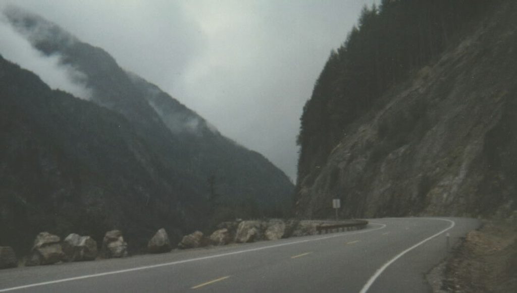
3.8 mi awayWashington PassQuick stop, giant views of peaks and the winding highway belowScenic Viewpoint · Parking
5.4 mi awayTwisp PassHigh, broad pass with views and a gateway to Dagger LakeScenic Viewpoint