
Place · 0.1 mi away
Challenging
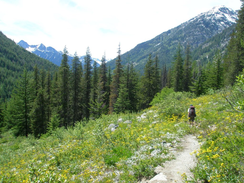
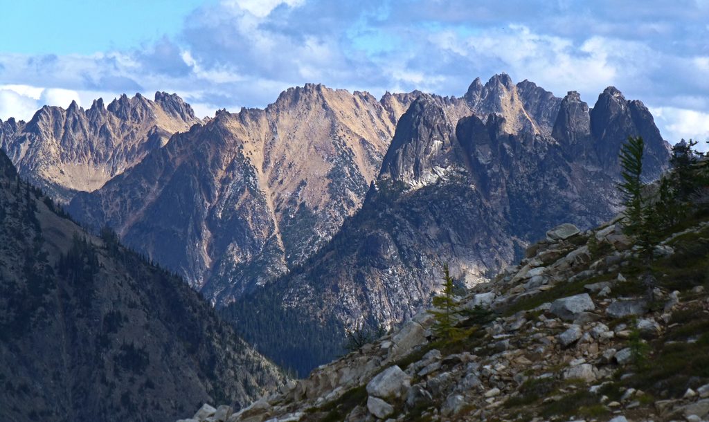
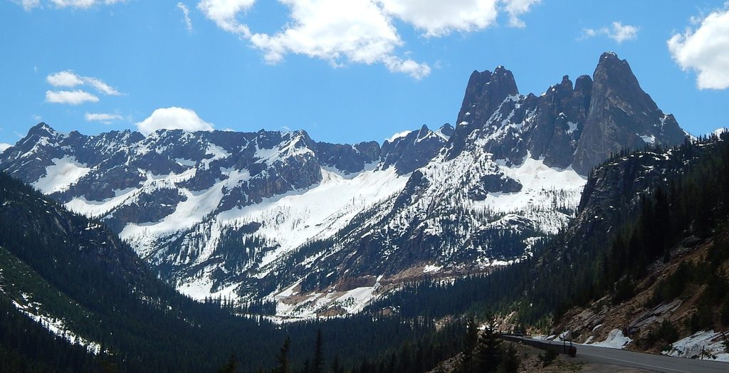
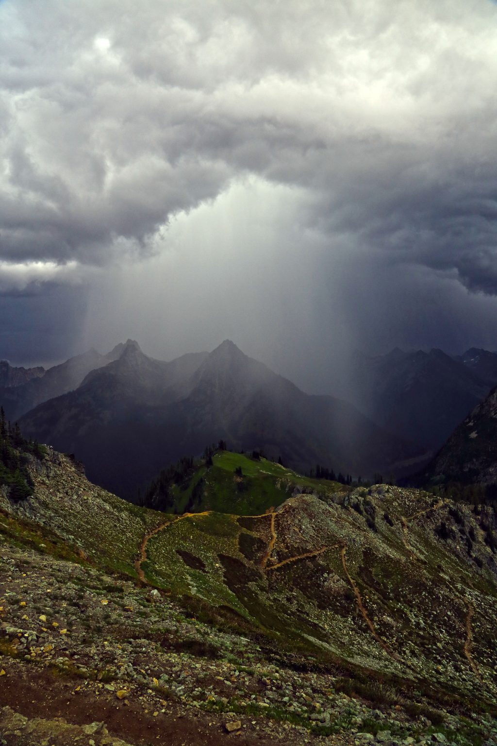
This is a spectacular, rugged 18-mile stretch of the Pacific Crest Trail crossing the South Unit of North Cascades. Expect classic “canyon-to-pass-to-canyon” travel, frequent storms, and lingering snowfields—the North Cascades are the wettest, most volatile part of the PCT. When it behaves, though, this section delivers big alpine scenery, ancient forests along river valleys, and late-season gold from western larches.
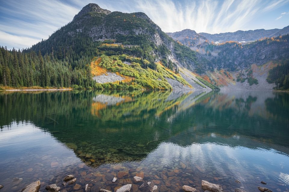
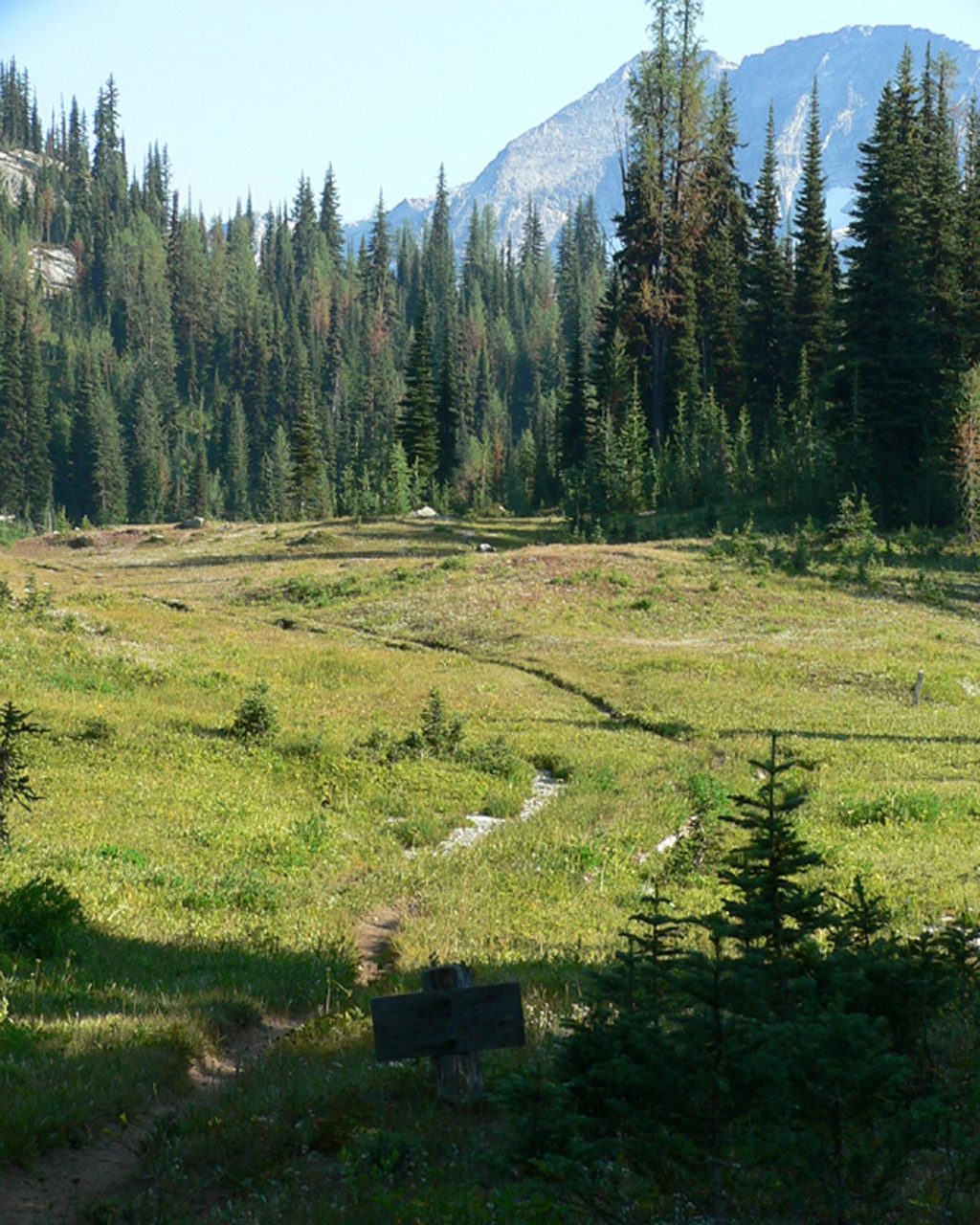
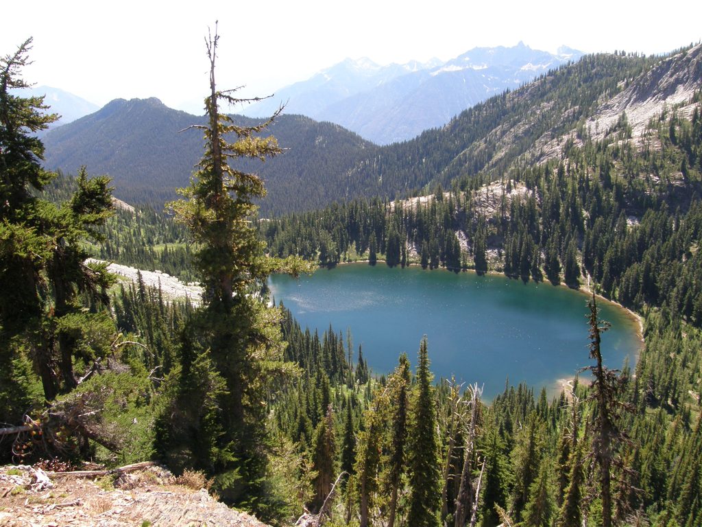
You’ll move through deep forest, heather meadows, and high country with views toward glaciated peaks and countless perennial snowfields. In late September into early October, larches light up select slopes, adding a finale pop of color. The terrain is a roller coaster—don’t expect long flat miles here.
Inside the park boundary, the PCT covers about 18 miles. Most hikers experience it as part of a longer section between Rainy Pass/Bridge Creek and the Stehekin corridor (Agnes Creek area). Plan your itinerary around designated camps; there’s no dispersed camping in this stretch.
Rules here are strict and matter. If you hold a PCTA long‑distance permit (for 500+ continuous miles), it is honored for camping only at Six Mile Camp and Bridge Creek Camp within the park. All other camps along the PCT inside the park require a separate North Cascades backcountry permit secured in advance. Day travel through the park with no overnight does not require a park permit. Camping is allowed only at designated sites; bear boxes are widely provided—use them and report any bear encounters to rangers.
Stehekin is the logistical hub for this segment. A seasonal shuttle links the PCT/High Bridge area with Stehekin Landing, there’s a backpacker group camp (limited to one night before/after backcountry trips), and resupply must be sent USPS only. On the south side, many hikers enter from Rainy Pass/Bridge Creek; on the north end of Washington, many finishers “boomerang” back to Hart’s Pass rather than exiting into Canada due to border rules—plan accordingly if your trip extends beyond the park.
Late summer into early fall is the sweet spot. September often offers the most stable weather and larch color, but the first October storms can drop fresh snow on high passes without warning. Microspikes can be prudent even if some hikers squeak by without them. Expect to meet northbound thru‑hikers near season’s end—it can be a surprisingly social time on trail.
This is not a casual stroll. Weather turns fast, climbs stack up, and permits add complexity. If you want a shorter taste with big payoff and peak larch vibes outside the park, the Hart’s Pass to Windy Pass day on the PCT is a worthy, lower‑commitment alternative.
Primary access is via Rainy Pass/Bridge Creek on the south side or by taking the seasonal Stehekin shuttle to/from High Bridge; plan your vehicle parking at your chosen access and use the shuttle if staging from Stehekin.
Designated sites only (no dispersed camping). Strict permit rules apply. Expect frequent precipitation, lingering snowfields, and early fall storms—microspikes can be wise. Food must be stored in bear boxes where provided. Border exit to Canada is restricted; many hikers return to Hart’s Pass.
Place · 0.1 mi away
Place · 0.1 mi away
Place · 1.1 mi away
Place · 3.8 mi away
Easy · 0.1 mi away
Challenging · 0.1 mi away
Challenging · 1.1 mi away
Challenging · 1.1 mi away

Parkwolf Tour Guide
