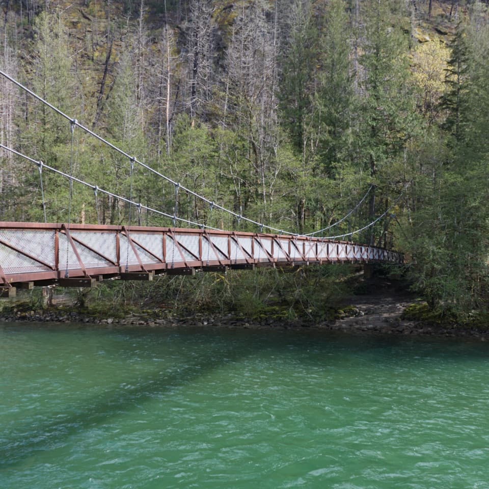
Parking
Rainy Pass south parking lot on Highway 20. Parking is very limited and fills quickly; follow signed spaces. Vault toilets and picnic tables are available, but there is no potable water. A recreation pass or day pass is required.

#3 of 88 trails in North Cascades
North Cascades National Park, WA
Two passes and two lakes reward a big alpine ridge circuit.
Overview
Heather–Maple Pass Loop is a high-country circuit from Rainy Pass, climbing out of forest to an open ridge above Lake Ann and Rainy Lake. Plan for 7.2 miles, about five hours, and roughly 2,020 feet of climbing. Published route measurements range from 6.8 to 7.2 miles, so use the longer figure for planning. The payoff is a full day of changing scenery: a glacial lake basin, two passes, and a long panorama of North Cascades peaks. It suits hikers ready for sustained climbing and a steep, exposed ridge; this is more demanding than a quick lake walk.
 Parkwolf’s verdictIs this the hike for you?
Map & elevation
Plan your hike

The highest, rockiest slopes around here are a summer buffet for grizzly bears.
North Cascades Tour Guide
Parkwolf is a GPS audio tour guide for North Cascades National Park. As you drive, it chimes in with what’s ahead: hidden gems, upcoming stops, history, geology, and wildlife, right through your car’s speakers.
See the North Cascades audio tourRecorded for this trailhead
Rainy Pass: Lake Walk or Ridge Hike“Up ahead is Rainy Pass, where you can choose a short lake walk or a much bigger ridge hike. For about an hour out of the car, I'd choose Rainy Lake: two miles round trip on pavement, ending below cliffs and waterfalls.”
Plays as you drive up to this trailhead in the Parkwolf North Cascades Tour Guide.
More stories near here in the app
“Fantastic app with many points of information… It’s great to just turn on while you’re driving and it gives you an audio tour of the national Park. We love it!!!!”


Trail guide
From the Rainy Pass south lot, the trail climbs through second-growth forest, then opens into an avalanche meadow. At about 1.25 miles, a signed branch drops to Lake Ann. The lake spur is about 0.6 mile round trip from the junction and makes a worthwhile detour: the water sits in a rocky glacial bowl with a large island, and the shore looks toward the pass ahead. Return to the junction to continue the loop; the spur is not part of the loop distance.
Past the lake branch, the trail traverses above the basin through open, flower-filled slopes toward Heather Pass. Faint paths lead away toward Lewis Lake, Wing Lake, and Black Peak; those are separate, more demanding routes, not shortcuts around the loop. Stay with the main tread. From Heather Pass, the climb steepens and rises above treeline toward Maple Pass. Snow can linger over the trail into mid-July, making the route harder to follow in some years.
The ridge opens onto both Lake Ann and Rainy Lake, with Black Peak, Corteo, Frisco, Goode, Stiletto, and the Liberty Bell group across the skyline. A boundary sign marks the transition into North Cascades National Park. For the defining photo, look back across Lake Ann from the ridge so its island sits below the surrounding peaks. July and August bring alpine flowers; in fall, alpine larches turn gold and huckleberry slopes redden, which makes this a particularly popular time to hike.
After the high point, the trail drops steeply along the ridge between the two lakes, losing about 1,700 feet over the final 2.5 miles, then switchbacks through forest to the paved Rainy Lake Trail. Follow the pavement back to the Rainy Pass lot. The loop is often walked counterclockwise, with the ridge climb followed by this sustained descent; save some strength for the downhill. If you continue straight toward Rainy Lake at the paved junction, you have left the loop for a separate walk.
Start at the Maple Pass trailhead by the Rainy Pass south parking lot on Highway 20. The lot is very limited and fills quickly. There are vault toilets and picnic tables, but no potable water or food service, so bring what you need. A recreation pass or day-use pass is required. The circuit crosses park land where pets are prohibited, so dogs cannot accompany you on the full loop. Highway 20 closes seasonally in winter, cutting off the usual Rainy Pass access.
Wildlife
 101 sightingsMountain GoatMost seen around 6 PMSighting map
 70 sightingsBlack BearMost seen around 8 PMSighting map
 20 sightingsMule DeerMost seen around 7 PMSighting map
 77 sightingsSooty GrouseMost seen around 6 AMSighting map
 23 sightingsWhite-tailed PtarmiganMost seen around 6 PMSighting map
 75 sightingsWestern ToadMost seen around 8 PMSighting map
Sighting maps show where each species has been reported across North Cascades. Wildlife moves, so no sighting is guaranteed.
Keep exploring
 ModerateLake Ann Trail (Rainy Pass)3.4 mi · 2.5 hr · At the trailheadA lakeshore view of the Heather–Maple Pass ridge without the long loop.
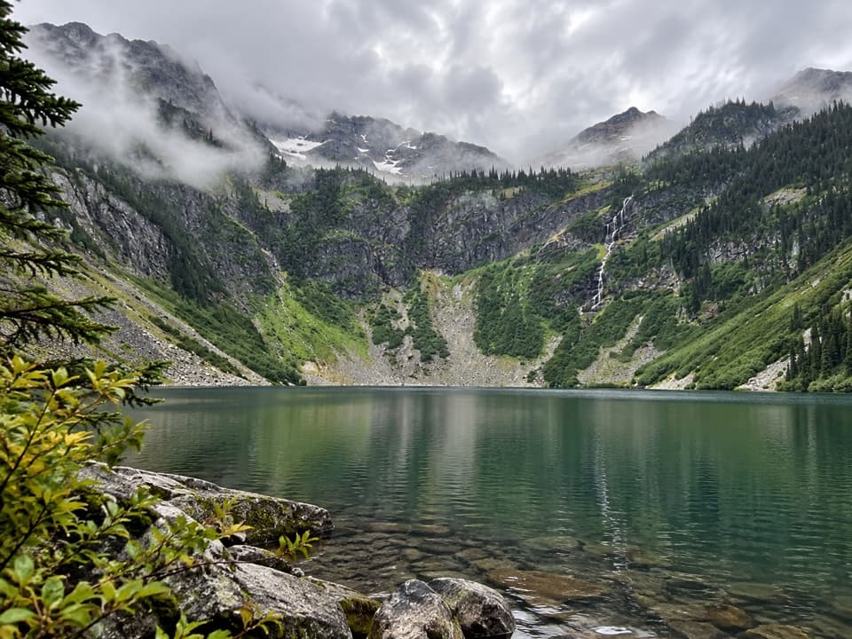 EasyRainy Lake Trail #3102 mi · 54 min · At the trailheadA paved mile to a lake, waterfalls, and glacier views.
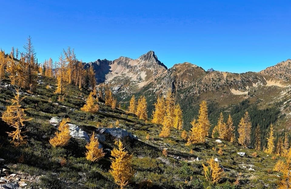 ChallengingCutthroat Pass via Pacific Crest Trail10.1 mi · 5.5 hr · 0.2 mi awayAn alpine PCT climb to Cutthroat Pass and lake views.
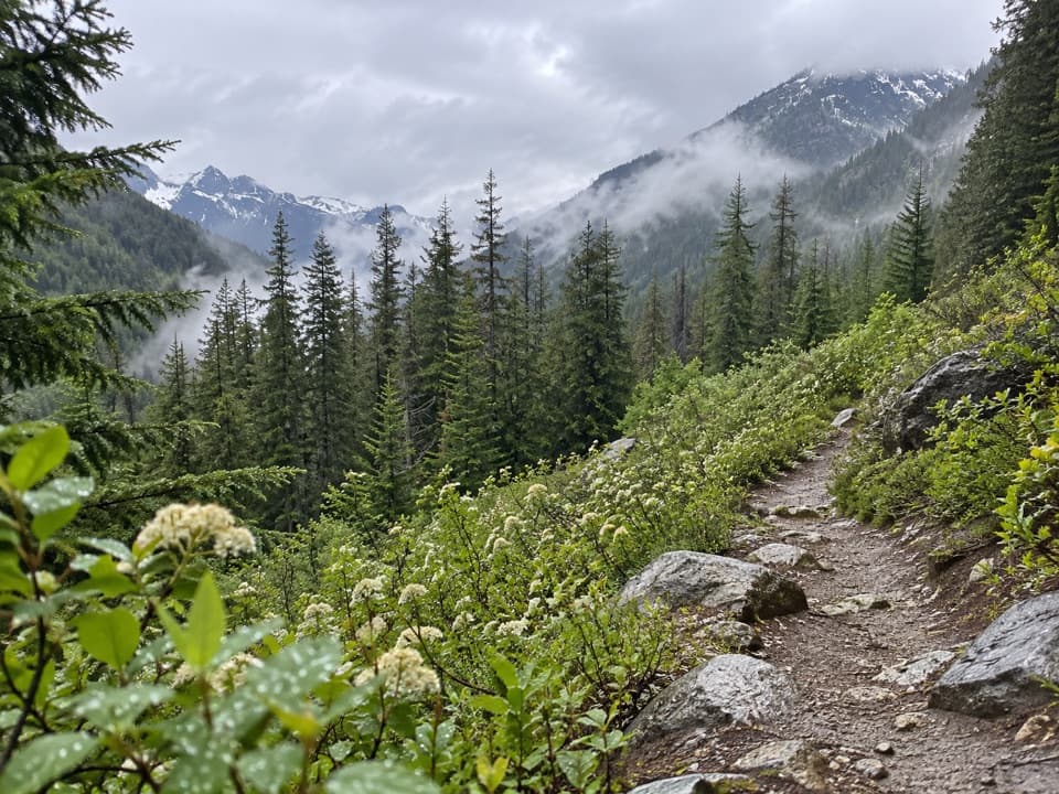 ModerateBridge Creek (Pacific Crest) Trail12.8 mi · 7 hr · 1 mi awayA long PCT descent from SR 20 to Bridge Creek Camp.
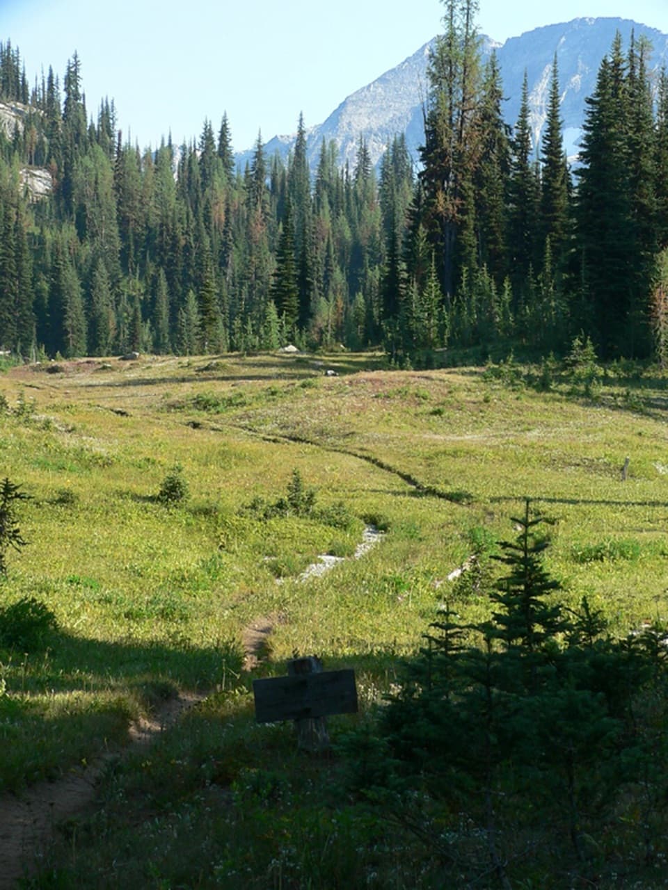 ModerateMcAlester Lake Trail15.2 mi · 10 hr · 1 mi awayA long climb through forest and meadows to a Cascade lake
 ChallengingStiletto Peak Trail10.4 mi · 10 hr · 1 mi awayClimb through flower meadows to the remains of a fire lookout
 ChallengingRainbow / McAlester Pass Loop31.5 mi · 1 day · 1 mi awayA four-day loop links two high lakes across two rugged passes.
 ChallengingPacific Crest Trail: SR 20 to High Bridge18.1 mi · 10 hr · 1.1 mi awayA long PCT traverse from SR 20 to High Bridge.
 Sight · 4.1 mi awayWashington Pass OverlookWatch the Liberty Bell group rise above Highway 20.
 Campground · 8.4 mi awayBridge Creek CampA river confluence camp for the trails beyond Stehekin.
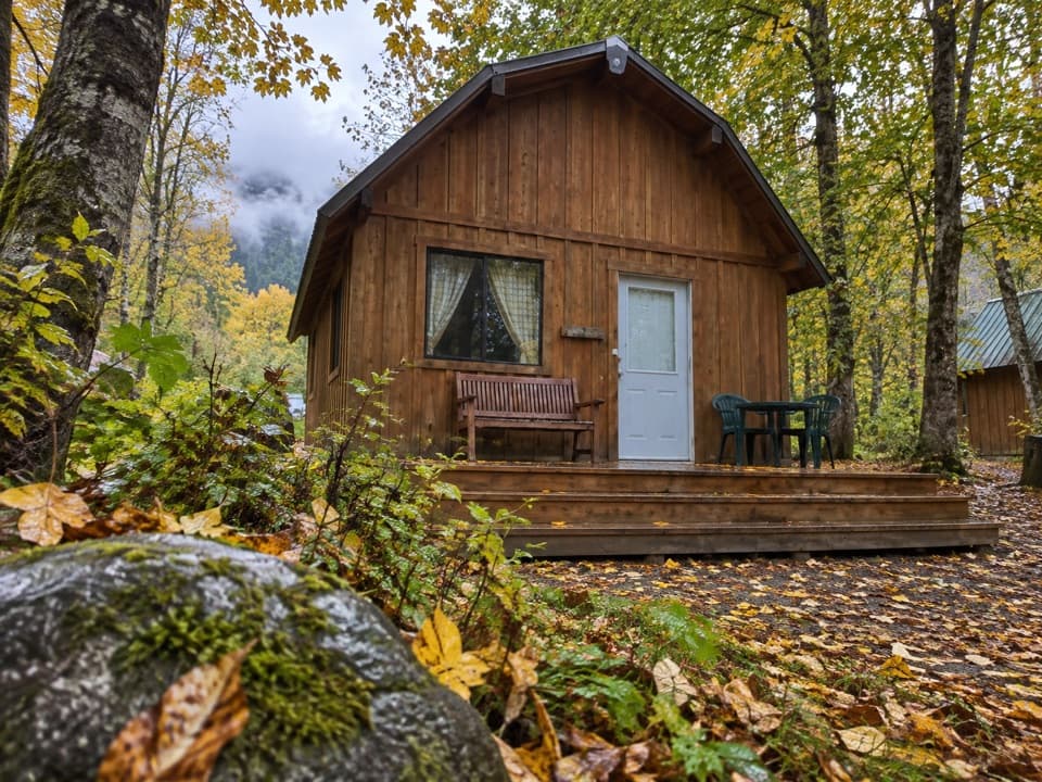 Lodging · 9.8 mi awayStehekin Valley RanchA remote stay nine miles up-valley with meals and transport included.
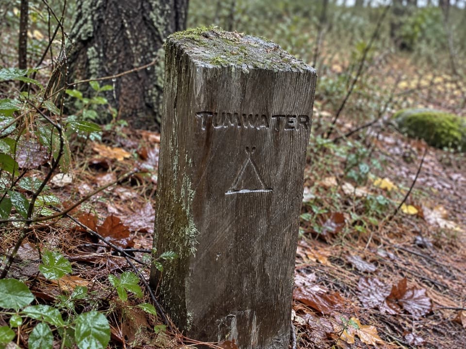 Campground · 10 mi awayTumwater CampA backcountry night along Stehekin’s upper valley routes.
Parkwolf’s North Cascades ranking
The audio tour guide for the drive, plus offline maps, trails, and wildlife heatmaps for when the signal drops.