Bridestones, Crosscliff and Blakey Topping in North York Moors National Park

Sight · North York Moors National Park

Bridestones, Crosscliff and Blakey Topping

Jurassic sandstone towers, heather moor and a flat-topped hill to climb

Photo: Wikimedia Commons
Type
Sight
Nearest trail
0.9 km
Audio stories
7 nearby
  • Trailhead
  • Parking
  • Restrooms
  • Scenic viewpoint

Hear the audio tour

Bridestones

Overview

About Bridestones, Crosscliff and Blakey Topping

Why stop

  • Distinctive Jurassic sandstone formations
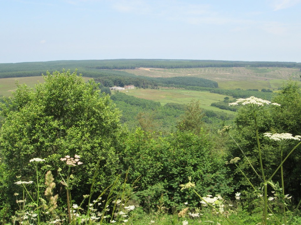
  • Panoramic moorland views

Heads up

  • Steep, uneven paths can be slippery
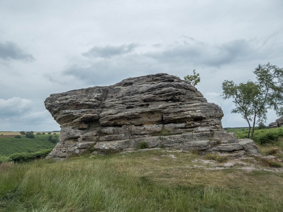
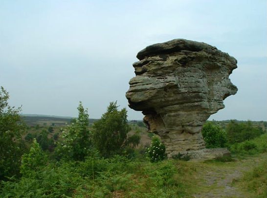
Weathered sandstone pillars stand above the valley, remnants of a cap of sandstone laid down in the Jurassic about 150 million years ago. Alternating hard sandstone and softer calcareous layers have been picked out by wind, frost and rain, leaving unusual layered formations with broad caps above scrub and open countryside.
Parkwolf’s verdictWhy stop

Map

Where it is

Loading the North York Moors map
Full map
SightBridestones, Crosscliff and Blakey Topping54.30944, -0.65867
Keep this map with you offline in the Parkwolf app

Plan your stop

Before you go

Best time to go

Dry, settled weather makes the steep track far easier underfoot. Late spring and early summer bring flower-rich dales, while late summer heather colours the moor. Mornings and weekdays tend to give softer light and fewer people about, though conditions vary. Low sun early or late picks out the banding in the stone for photographs.


8 active North York Moors alerts

  • ClosureHawnby Bridleway 110 closurePublic Bridleway 25.122/110/1 in Hawnby is closed to pedestrians, cyclists and equestrians because its bridge is unsafe. - The closure is between grid references SE 5309 9073 and SE 5335 9097.Official details
  • ClosureWest Ayton Footpath 1 closurePublic Footpath 1 in West Ayton (Forge Valley) is temporarily closed because its boardwalk is unsafe. - The closure is between SE 9860 8494 and SE 9839 8712.Official details
See all 8 alerts
A park ranger sits on a dash-mounted phone, talking, as Parkwolf’s Tour Guide plays “Army Cutworm Moths: A Grizzly Bear Buffet” on Grand Loop Road below Dunraven Pass in Yellowstone
Parkwolf Tour GuideThe highest, rockiest slopes around here are a summer buffet for grizzly bears.

North York Moors Tour Guide

Your drive to Bridestones, Crosscliff and Blakey Topping, narrated.

Parkwolf is a GPS audio tour guide for North York Moors National Park. As you drive, it chimes in with what’s ahead: hidden gems, upcoming stops, history, geology, and wildlife, right through your car’s speakers.

Recorded for this place

Bridestones
0:00 / 0:27
“You're approaching Bridestones Car Park along the tolled Dalby Forest Drive, where a steep path climbs to sandstone pillars above the valley.”

Plays as you drive up to Bridestones, Crosscliff and Blakey Topping in the Parkwolf North York Moors Tour Guide.

More stories near here in the app

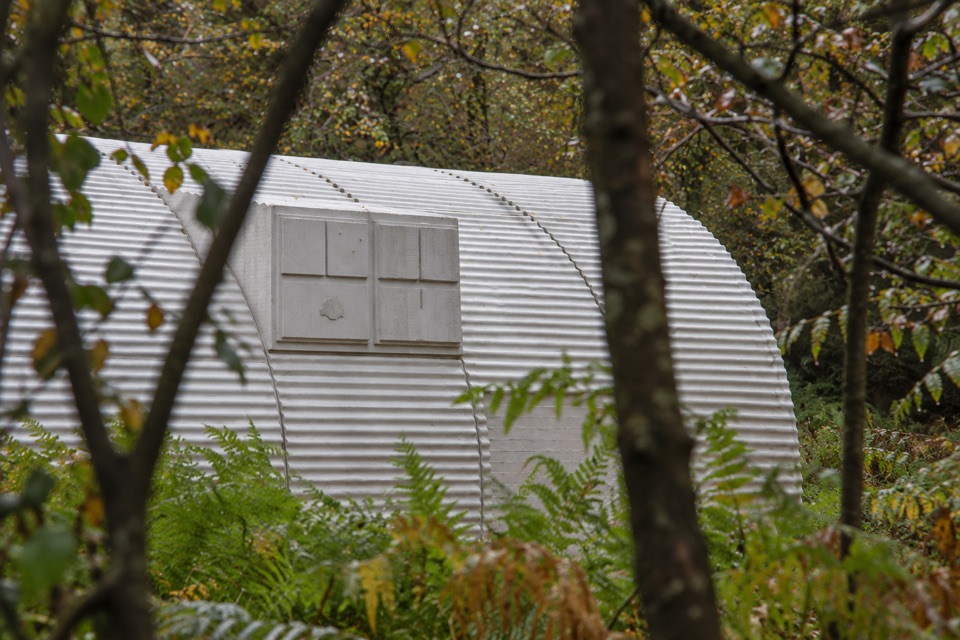
  • Nissen Hut and Adderstone
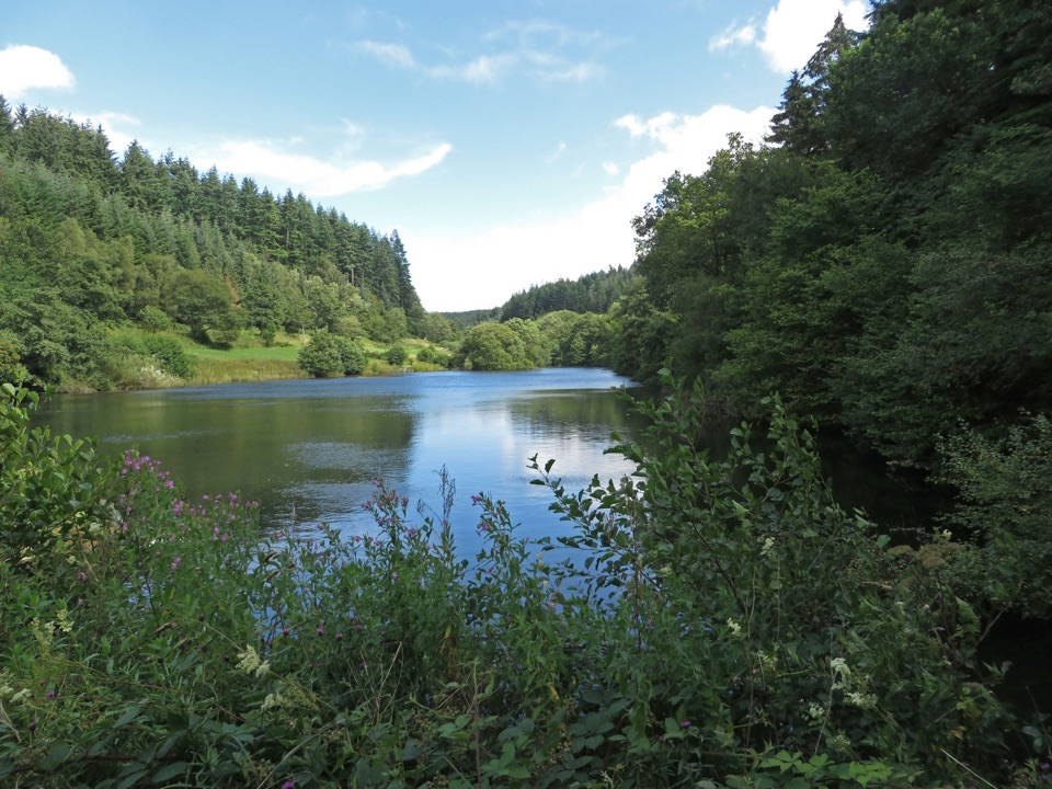
  • Staindale Lake
  • The Cone Thief Overhead
  • Three Ditches in the Trees
  • 298 audio storiesacross North York Moors’s roads, triggered by GPS as you drive
  • Wildlife heatmapsfor Eurasian Otter, Red Deer, Grey Seal, and 13 more
  • Works offlinemaps, 126 trails, 65 places, and audio download before you lose signal
  • CarPlay readysimple controls built for the drive
★★★★★
“Fantastic app with many points of information… It’s great to just turn on while you’re driving and it gives you an audio tour of the national Park. We love it!!!!”
JMJamesApp Store review
Download Parkwolf on the App StoreGet Parkwolf on Google Play

4.7 from 8,600+ ratings

Guide

More about Bridestones, Crosscliff and Blakey Topping

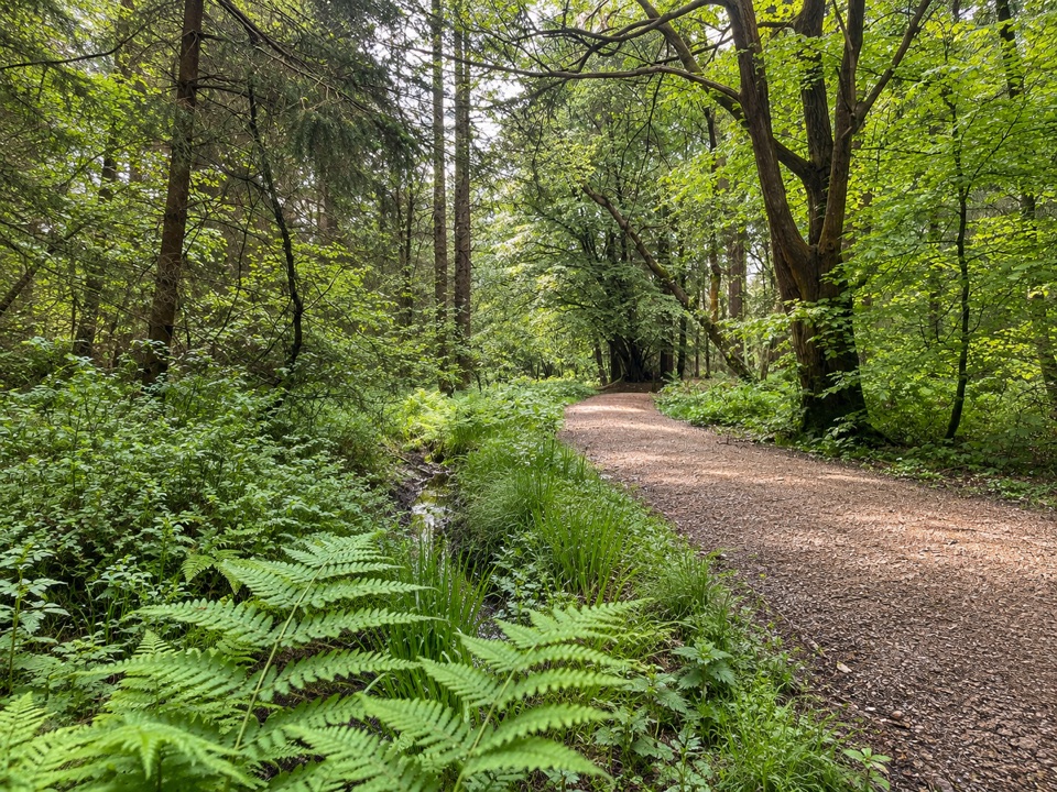
What you see and doAround 300 acres of heather, rough pasture, wooded hillsides and flower-rich grassy dales.
  • Around 300 acres of heather, rough pasture, wooded hillsides and flower-rich grassy dales.
  • Footpaths climb to the rocks, where the views are panoramic.
  • Bridestones Griff leads on toward Dovedale and ancient woodland.
  • Blakey Topping, an isolated flat-topped summit standing about 60 m above its surroundings, shaped by meltwaters at the end of the last ice age.
  • Crosscliff and Allerston High Moor for rugged, more open moorland walking.
Short loop or wider outingThe short official Bridestones trail is a circular 2.4 km (1.

The short official Bridestones trail is a circular 2.4 km (1.5 miles) route, graded moderate: a steep forest track with roots and rocks, then undulating open moorland.

A wider outing takes considerably longer, and the distance depends entirely on where you start. You can link in Blakey Topping and Crosscliff, follow the easy-access waymarked Blakey Topping trail from Crosscliff car park, or approach on Old Wife's Way from Saltergate and the Hole of Horcum. Routes vary, so plan around the one you choose rather than assuming a set distance or time.

Practical accessReach the reserve via Dalby Forest Drive, where a Forestry England toll is payable, including…
  • Reach the reserve via Dalby Forest Drive, where a Forestry England toll is payable, including by National Trust members.
  • Nearest parking is Bridestones car park.
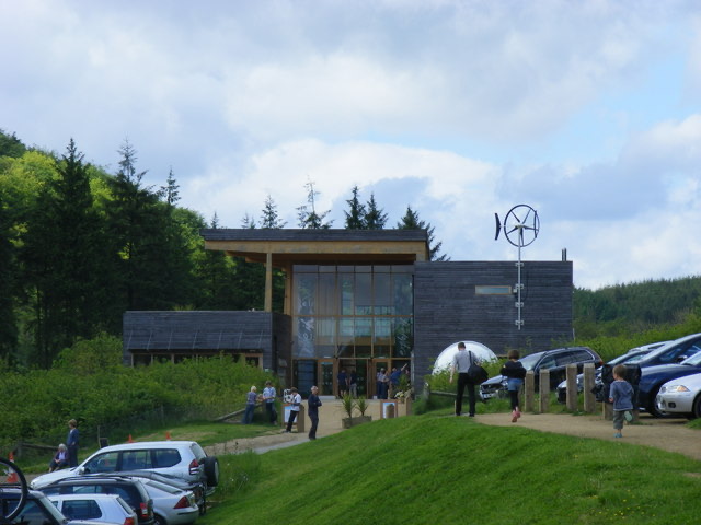
  • Toilets, including an accessible toilet, are near the car park and are forest facilities, not at the rocks themselves.
  • Going is partly level, then steep and uneven. The short trail is unsuitable for wheelchairs and pushchairs.
  • Dogs are welcome but must be under close control, and on a short lead around livestock and wildlife.
Wildlife to look forHeather across the moor, with sundew in poor soil and rare dwarf cornel on Blakey Topping.

Heather across the moor, with sundew in poor soil and rare dwarf cornel on Blakey Topping. Listen for skylarks, wheatears and meadow pipits over open ground, and look for nuthatches, great spotted woodpeckers and jays in the woods. Small pearl-bordered fritillary is possible in late May, and adders may bask early in the morning, so watch where you step and keep dogs close.

Honest drawbacksPaths get muddy and slippery after rain, and sections are steep, rooty and uneven.
  • Paths get muddy and slippery after rain, and sections are steep, rooty and uneven.
  • Expect long grass and nettles in summer, plus livestock and droppings on grazed ground.
  • The forest drive toll and parking logistics need planning before you arrive.
  • Wear sturdy footwear and allow extra time if you are combining the Bridestones with Blakey Topping or Crosscliff.

Wildlife

Wildlife in North York Moors

All North York Moors wildlife maps

Sighting maps show where each species has been reported across North York Moors. Wildlife moves, so no sighting is guaranteed.

Keep exploring

Near Bridestones, Crosscliff and Blakey Topping

See it all on the map

Trails nearby

More stops nearby

Parkwolf’s North York Moors ranking

Top sights in North York Moors

All 65 places
  1. 1North Yorkshire Moors RailwaySight
  2. 2Roseberry ToppingSight
  3. 3Rievaulx AbbeySight
  4. 4Robin Hood's Bay and BeachSight
  5. 5Hole of HorcumSight
  6. 6Goathland StationSight

Take Parkwolf to North York Moors.

The audio tour guide for the drive, plus offline maps, trails, and wildlife heatmaps for when the signal drops.

4.7 from 8,600+ ratings

Download Parkwolf on the App StoreGet Parkwolf on Google Play