Parking
Use Saltergate car park at Hole of Horcum beside the A169; start along the verge and bridleway toward Old Wife's Way.
North York Moors National Park, EN
Moorland tracks, Jurassic sandstone, a wooded valley and a quiet lake
Overview
Map & elevation
Plan your hike

The highest, rockiest slopes around here are a summer buffet for grizzly bears.
North York Moors Tour Guide
Parkwolf is a GPS audio tour guide for North York Moors National Park. As you drive, it chimes in with what’s ahead: hidden gems, upcoming stops, history, geology, and wildlife, right through your car’s speakers.
Recorded for this trailhead
Hole of Horcum“You're approaching the Hole of Horcum, a natural amphitheatre scooped roughly 400 feet deep and more than half a mile wide into the open moor.”
Plays as you drive up to this trailhead in the Parkwolf North York Moors Tour Guide.
More stories near here in the app
“Fantastic app with many points of information… It’s great to just turn on while you’re driving and it gives you an audio tour of the national Park. We love it!!!!”


Trail guide
This is a closed circular loop, starting and finishing at Saltergate, measured as 12.8 km / about 8.0 miles for the complete loop rather than one-way. Allow around 3 hours 20 minutes at a steady walking pace. It is the larger Bridestones and Dovedale walk, not the separate short 1.5-mile Bridestones Trail that begins at Bridestones Car Park.
The payoff is variety in one circuit: open moor at both ends, a sheltered stream valley in the middle, and two separate groups of rock formations.
Moderate overall, about 5 out of 10, with roughly 179 m of ascent and the same descent. Sampled mapped elevations run from about 141 m to 283 m. Steep gradients, tree roots, rocks, cobbles and uneven ground turn up on the opening stretch and through the woodland sections. Expect forest and bridleway tracks, grassy moorland, cobbled and rocky woodland paths, gates, and stream and footbridge crossings. This is not a wheelchair or pushchair outing; level access around the destination is limited and the terrain beyond it is steep and uneven.
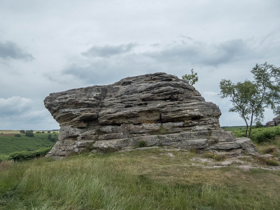
The loop links heather moorland, grassy tracks, ancient woodland, wildflower-rich meadows, a wooded stream valley and Staindale Lake. The Bride Stones themselves are layered Jurassic sandstone, weathered into the shapes that give the reserve its name.
Start from Saltergate car park beside the A169 at Hole of Horcum. The route sets off along the verge and bridleway before joining Old Wife's Way. The A169 is a busy road, so keep children and dogs close on that first short stretch.
Dogs are allowed under close control. On moorland and open access land they must be on a lead shorter than 2 m from 1 March to 31 July, and also around livestock or wildlife.
Walkers who only want to see the rock formations can take the much shorter Bridestones Trail from the forest car park instead. This longer circuit is for a fuller moorland and valley day.
Wildlife
 15 sightingsEurasian OtterMost seen around 7 PMSighting map
 10 sightingsRed DeerMost seen around 7 AMSighting map
 79 sightingsGrey SealMost seen around noonSighting map
 26 sightingsWestern Barn OwlMost seen around 7 PMSighting map
 33 sightingsEuropean BadgerMost seen around 7 PMSighting map
 10 sightingsMute SwanMost seen around noonSighting map
Sighting maps show where each species has been reported across North York Moors. Wildlife moves, so no sighting is guaranteed.
Keep exploring
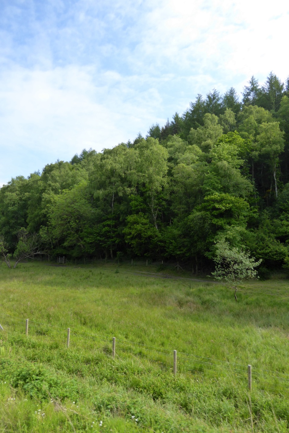 ModerateSaltergate to Pickering Walk22 km · 6.5 hr · At the trailheadMoorland edges, sandstone pillars and a long walk down into Pickering
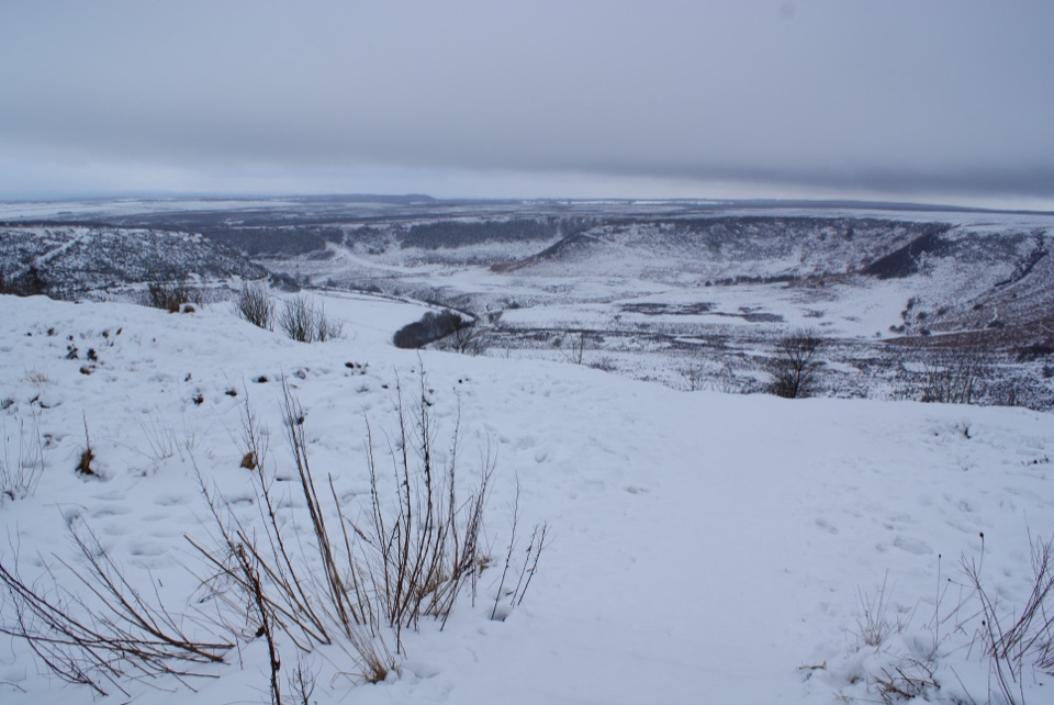 EasyHole of Horcum car park to the viewing platform0.3 km · 12 min · At the trailheadShort smooth path to a platform above a 400-foot moorland amphitheatre
 ModerateLevisham Moor & Hole of Horcum8.4 km · 3 hr · At the trailheadA 400-foot amphitheatre, Bronze Age moor, and a slippery rocky griff
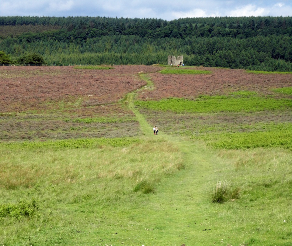 ModerateHole of Horcum Car Park to Skelton Tower11.6 km · 3.3 hr · 0.1 km awayMoorland amphitheatre walk to a ruined tower above Newtondale
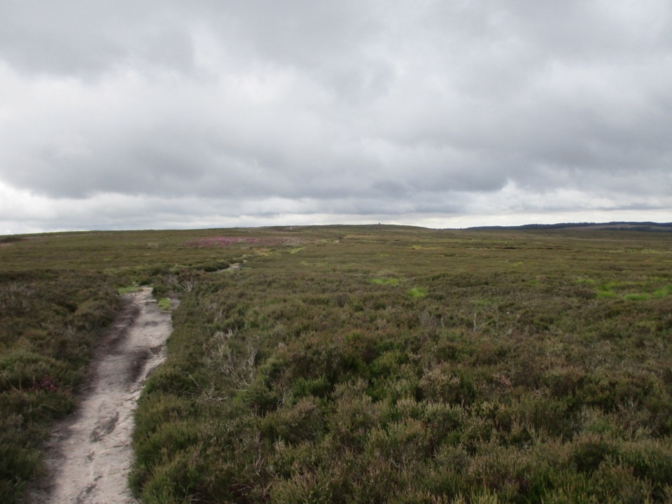 ModerateNewtondale Halt to Goathland Station Walk10.8 km · 3.5 hr · 2.1 km awayRide the rails in, walk out over heather moorland to GoathlandModerateBridestones Trail at Dalby Forest2.4 km · 1 hr · 4.1 km awayShort, steep circuit to weathered sandstone giants above a moorland valley
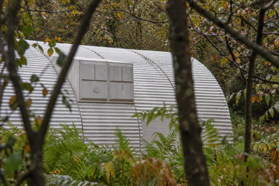 EasyNissen Hut Trail1 km · 30 min · 4.3 km awayA short gravel loop to Rachel Whiteread's cast-concrete sculpture
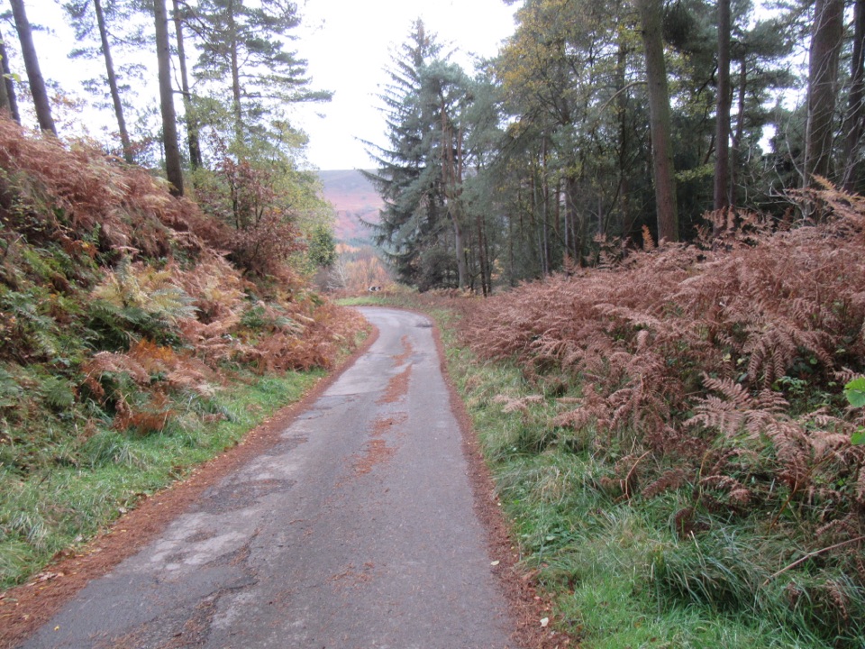 ModerateNewtondale9.7 km · 3 hr · 4.3 km awaySix miles of forest tracks and dale views above a steam railway
 Sight · 0.8 km awayHole of HorcumA 400-foot heather amphitheatre with a short accessible view platform
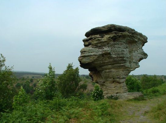 Sight · 3.2 km awayBridestones, Crosscliff and Blakey ToppingJurassic sandstone towers, heather moor and a flat-topped hill to climb
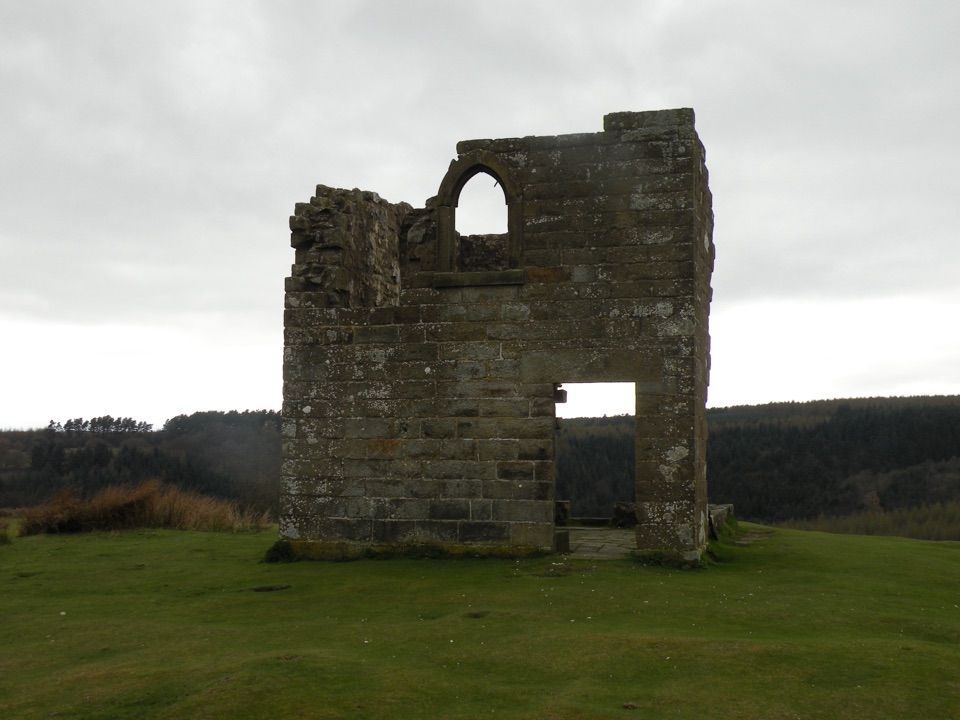 Sight · 3.3 km awaySkelton TowerRuined 1830s shooting lodge perched high above Newtondale's steam railway
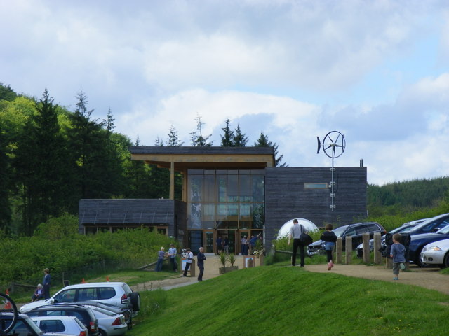 Visitor center · 5.9 km awayDalby Forest Visitor CentreTrail advice, cafe and beckside play at the forest's main hub
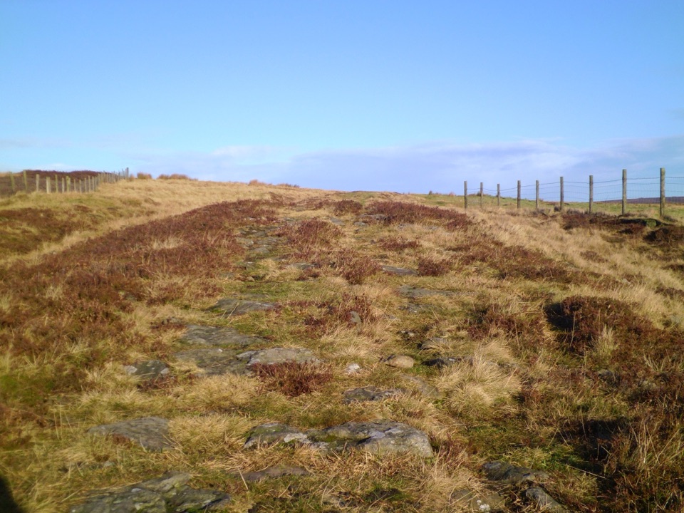 Sight · 6.2 km awayWheeldale Roman RoadAncient stone causeway over heather moor, its builders still debated
 Sight · 7.8 km awayGoathland StationGoathland Station: steam-age platform, Hogsmeade and Aidensfield on screen
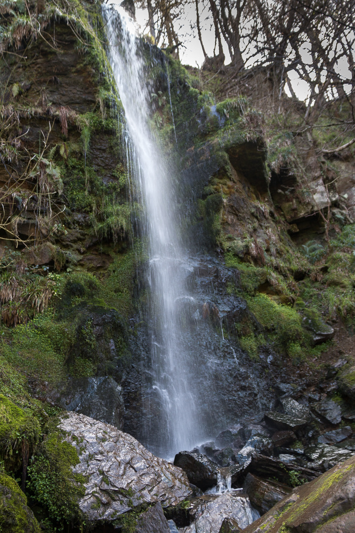 Sight · 7.8 km awayMallyan Spout WaterfallSeventy feet of water down a wooded sandstone ravine near Goathland
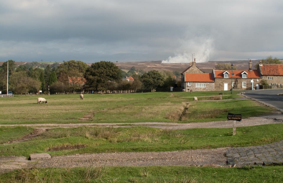 Sight · 7.9 km awayGoathlandSheep-grazed moorland village with a 70-foot waterfall below it
Parkwolf’s North York Moors ranking

The audio tour guide for the drive, plus offline maps, trails, and wildlife heatmaps for when the signal drops.




